WillhiteWeb.com
The Appalachian Trail
This is the page for finding my pictures of places on the Appalachian Trail. Most of the famous locations on the trail are listed below while others are just locations found interesting. Many of the sites and locations are not on the Appalachian Trail but required hiking a side trail. This is normal and many hikers take these side trails to get views. In addition, I left the trail over 50 times to reach peaks and fire lookouts that the trail skipped, since peakbagging and lookout chasing is my hobby. These bonus peaks and lookout sites ranged from just a few minute detour, up to a few hours to reach. I was still able to finish the trail and bonus peaks in 3.5 months hiking an average of 22 miles a day. There were no zero days until the final week and resupply was only every 6 to 9 days.
Class of 2024

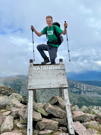
Finishing both the Appalachian Trail and the 50 State Highpoints on my 50th birthday.
Trail Name: Fifty
Highpoint of Tennessee and most visited highpoint in Smokies.
Short side trail to a high abandoned lookout tower you can climb with excellent views.
A side trail leads to this unique circular lookout building with grand views.
A forest covered former lookout site right on the approach trail.
This is the start of the Appalachian Trail, on the summit of this mountain.
The trail once crossed over the summit. Former lookout site now forested.
The trail once crossed over this summit. A locked fence with fire tower is on top.
An iconic summit climb, considered the first real test for new hikers.
An iconic mountain pass where many hikers give up and toss boots in trees.
Another big mountain new hikers dread.
The first fire lookout tower on the AT that you can climb up.
An epic observation tower on the AT that you can climb up.
A detour for peakbaggers to get a 1,800 foot prominent mountain.
A bald summit with expansive views if you are willing to take the side trail.
A former lookout tower platform on the AT that you can climb up.
A deep gap in the mountains with many amenities. Known to be brutal in and out.
A classic checkpoint on the journey with the most well known shelter, the Fontana Hilton.
The most popular park in America, a massive area of forests and mountains.
The first trail town the trail passes through.
A popular fire tower you can climb just minutes from the trail.
A detour only peakbaggers and lookout enthusiasts should do.
Rocky scenic ridgeline on the trail that has numerous viewpoints.
Open scenic area with large meadows, one of the best camping locations on trail.
One of the first conifer forests with high elevation and a tough climb up.
One of the longest alpine like areas on the entire trail. Views along miles of trail.
The 8.8 mile approach trail is not required but makes the journey more memorable.
A detour only a bagger of former lookout sites would enjoy.
A former lookout site now just a forested camp on the trail.
Take a hidden trail to this summit and find a hidden fire tower you can sneek up.
A historic viewpoint just minutes off the trail. See it trashed.
A standing lookout you can not go up that also requires a major side trail. Bummer.
A 10 minute detour to see nothing but where a lookout tower once stood.
A 30 minute detour to see nothing but where a lookout tower once stood.
A 20 minute detour to see nothing but where a lookout tower once stood.
A very long detour to see a former lookout site with big views.
Side trail to the highpoint of Shenandoah National Park and huge views.
A relocated lookout tower now on display in Duncannon, PA
The trail passes through farm fields and open areas unlike anything previously. The town of Boiling Springs was my favorite along the trail.
Trail passes through a historic area that you could spend half the day learning about.
Trail passes through the historic city where you could tour an entire day.
I spent some time investigating this planned lookout site that never had a tower built.
Another historic site and monument, this one with a big view.
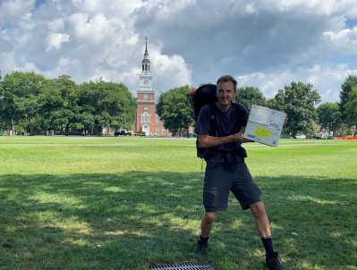
Getting my box in Hanover, New Hampshire
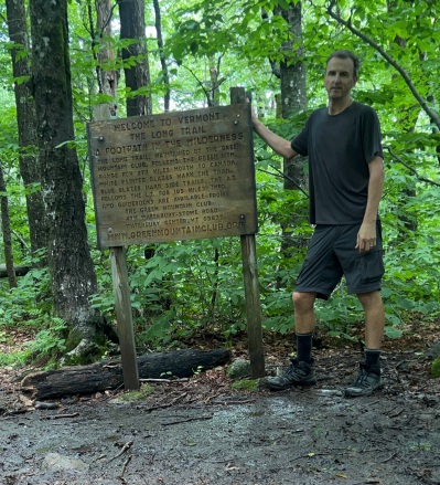
Entering Vermont
Ceremonial halfway point marker
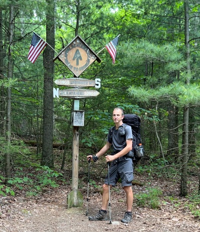
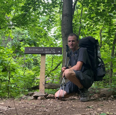
1000 miles from Springer Mountain, Georgia
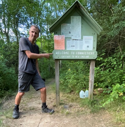
Entering Connecticut
Camping in a very scenic spot on the second highest mountain in Virginia.
Section of trail mostly above treeline with wild ponies on the mountains.
Scenic mountain top with trail shelter on the summit.
The most famous location and icon of the Appalachian Trail.
Big views from
Side trail to a scenic rocky bald.
Major river crossing in the mountains.
A minor detour only a bagger of former lookout sites would enjoy.
Trail passes the highest point in the Peaks of Otter area of Virginia.
A forested mountain but the site of the Ottie Cline Powell Memorial.
Trail passes the length of this National Park, passing numerous amenities.
Hikers confess while climbing the Priest because Three Ledges is an evil climb.
The Appalachian Trail crosses parkway numerous times taking advantage of the views.
Scenic area wth unique views of mountains and valleys.
A unique climb out of the factories of Pearisburg to a high mountain vista.
A unique former lookout site only fire lookout nerds will enjoy.
Nice trail views with a short side trail to a scenic observation point.
A short side trail to a big view.
Side trail up to a prominent peak that has one good view.
Trail passes over a forested knob that once had a fire lookout.
A popular dayhike area with waterfalls, canyon walls and big bridges.
A former lookout site so ugly, the AT now detours just below the summit.
One of the most popular hiking destinations in Shenandoah National Park.
A short detour to see one of Shenandoahs most iconic vistas.
Nice overlooks and then a decent into the trail town of Duncannon.
A selection of pictures I took passing through southern New York.
A selection of pictures I took passing through southern New Jersey.
The most rocky trail section of the AT with the occasional viewpoint.
A selection of pictures I took passing through Connecticut.
A selection of pictures I took passing through northern New York.
One of the most populated spots on the AT, trail goes through a zoo.
A selection of pictures I took passing through Vermont.
A selection of trail pictures for this area renowned for its natural beauty, rich history and picturesque towns.
A beautiful section of forest and rock where you learn the forest is changing now going north.
Another random summit with excellent views of the surrounding territory.
A selection of pictures from Hanover to Lambart Ridge.
Camping on top of the first mountain in Vermont with views.
Big views from this former lookout along the trail.
Big vistas on a mountain with a reputation as one of the toughest on the AT.
The highest mountain in Connecticut.
A forest covered former fire lookout site.
A forest covered former fire lookout site.
Some consider this the most scenic section of the Appalachian Trail.
A slight detour takes you to the rocky summit of Liberty, a popular destination.
One of the hardest climbs on the AT.
Taking side trails to climb over Mt. Clay, Mt. Jefferson and Mt. Adams
Taking the AT and side trails over Mount Webster, Jackson, Pierce, Eisenhower, Franklin and Monroe.
This high mountain section of trail offers views and superb confer forest hiking.
A notoriously tough climb up from Pinkham Notch, with images to Carter Notch.
I big side detour to see a standing fire lookout above the AT.
Prominent mountain with expansive vistas and an unusual dwarf forest on the summit.
Incredable views from the cab of a standing lookout on a prominent peak.
Trail passes by a former lookout now covered in trees.
Scenic views from an active fire lookout.
A scenic summit that is along the trail.
Details about the historic tower on top of Bear Mountain.
Investigation of an unknown fire lookout site near the AT.
Scenic views from an active fire lookout.
Camping on the summit with mega 360 views.
Unfortunate weather at this old standing lookout provided no views while camping there.
Some of the first scenic views of northern Maine are found around the summit.
One of the Bigelow Mountains once had a fire lookout.
My biggest detour from the trail to get a scenic summit and former fire lookout site.
The final climb and miles of the AT. The summit of Mount Katahdin is the endpoint of the Appalachian Trail.
Passing through Baxter State Park, the Fort Knox of State Parks.
Camping on a mountain top ski resort with big views.
The last big mountain before Katahdin has huge views, especially across the last 50 miles to Katahdin.
Climbing a abandoned tower for big views.
The AT goes right over the highest point in Massachusetts
Classic Maine lakes and the infamous river crossing that requires a canoe to come and get you.
Camping on the beach with a giant lake all to myself.
Camping in a beautiful location on a cliff.
A selection of pictures from the 100 miles in addition to the 4 locations below.
More views continue past Saddleback Mountain.
Camping on the rocks with a view to avoid another forested campsite.
Crossing this last Bigelow, the trail drops down to a lake with amazing beach campsites.
Mt. Bigelow and the north peak
Camping on the summit of a ski area was totally worth the extra mile and elevation gain for big sunset views.
A traverse of some mountains with occasional views.
Super scenic camping spot I chose on the summit of a Mount Hight.
A prominent mountain the AT crosses with stunted trees allowing for some views a the summit.
Dodging thunderstorms on this unique mountain that has large rocky openings.
From Gorham to Mahoosuc Notch where the toughest mile of the Appalachian Trail is located.
A short side trail during sketch weather to the second highest mountain in Vermont.
Scenic fire lookout vistas said to be where the inspiration of the AT started.
Trail passes by old lookout site with no views.
Going way out of the way for a former lookout only to find a foggy summit.
Summit fire lookout with big views of surrounding area.
This final Presidential Range mountain was a bit lower but had big views.
New England
The highpoint of New Hampshire, the Northeast and world record winds at observation station.
Camping on the rocks with a view to avoid another forested campsite.
A selection of pictures I took passing through northern New Jersey.


