Sugar Run Mountain Lookout Site
WillhiteWeb.com
Status: Former Lookout
Elevation: 4,087 feet
Prominence: 1,677 feet
State: Virginia
County: Giles
AT Access: 0.2 mile detour with 40 foot gain
Lookout History
In 1934, a USGS party placed a benchmark at the summit. They said they placed it about 90 yards east of the Flat Top Fire Tower on the north edge of the ridge.
In 1952, the USGS returned and mentioned that the lookout tower was still there.
In 1964, the USGS returned and mentioned that the lookout tower was still there but their measurements seem to indicate that the tower could have been moved a short distance.
If you have more information about this site, please contact me.
Located at the head of Sugar Run, this tower was at the junction of Pearis, Sugar Run and Flat Top Mountains. This is in Jefferson National Forest south of Pearisburg. There are other Flat Top lookouts in Virginia, including the standing lookout in Moses Cone Memorial Park north of Roanoke.
(Flat Top Fire Tower)
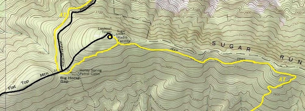
AT route as it passes under Sugar Run Mountain
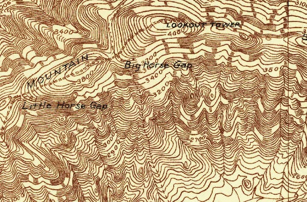
Sugar Run Mountain Lookout on a 1934 map
My Visit:
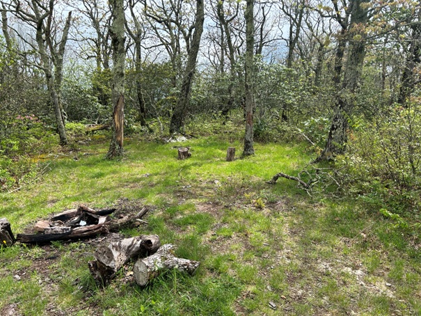
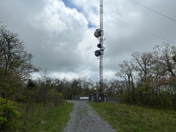
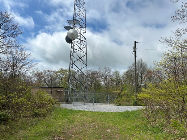
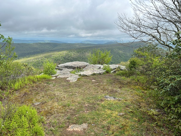
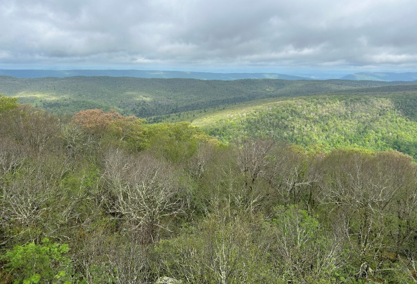
The Appalachian Trail gets close but skirts under the summit as to avoid passing by all the communication towers. At the highest point of the AT is an unmarked side trail that leads 5 minutes to the summit. A redeeming quality of this summit is one view to the north with a campsite right next to the viewpoint. This campsite is away from the AT, in the sun and offers possible seclusion, assuming no work vehicles show up to the communication towers. It is also possible to make a one way trip by walking down the road and catching the AT where it crosses the roadway.
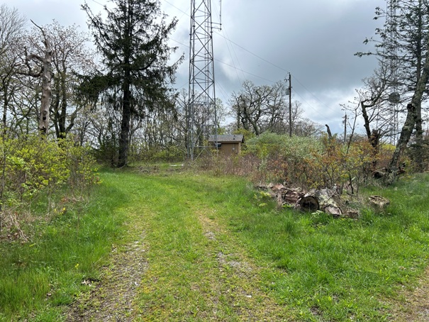
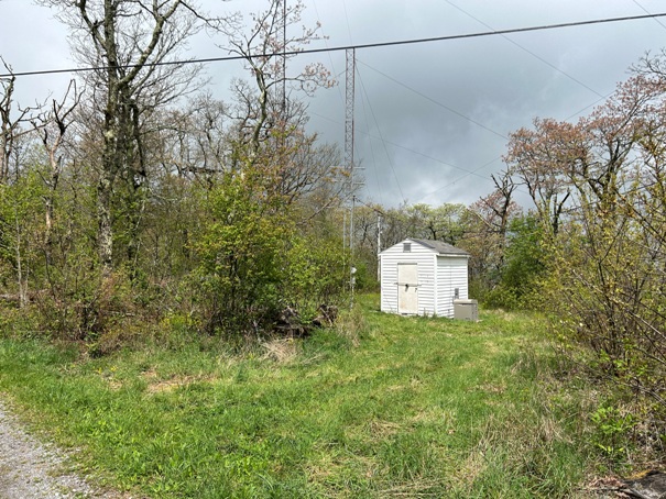
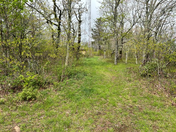
Approaching the summit of Sugar Run Mountain along the spur trail
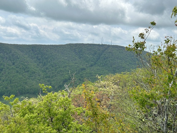
Looking back at Sugar Run Mountain with the towers as viewed from the AT going northbound.
The viewpoint
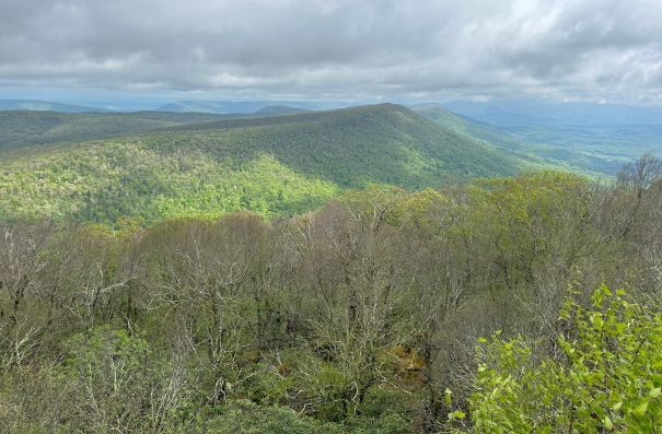
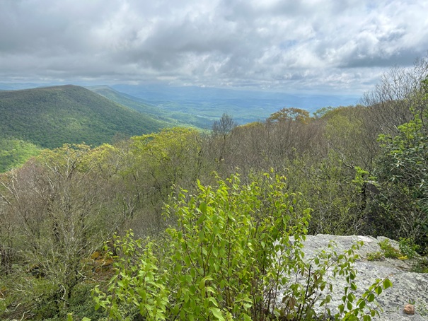
View from Sugar Run Mountain
View from Sugar Run Mountain
View from Sugar Run Mountain
Campsite on the summit of Sugar Run Mountain
The rocks was a great place to dry out my camping gear during 5 minutes of sun.
Communication towers
During my lunch on top it went from sunshine to rain clouds in 15 minutes.


