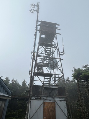
Killington Peak Lookout
WillhiteWeb.com
Status: Standing Lookout
Elevation: 4,235 feet
Prominence: 3,315 feet
State: Vermont
County: Rutland (County Highpoint)
AT Access: 0.4 mile detour with 240 foot gain
Lookout History
In 1912, the U.S. Forest Service experimented with wireless telegraphy from Killington Peak. This venture did not seem to be very successful. This was probably one of the earliest experiments in radio through the country.
In 1913, a man used Killington Peak as a lookout point.
In 1914, the peak was used again as a lookout point.
In 1963, a tower was dismantled over at Pico and re-erected on Killington. The living quarters on Killington were in a building erected as a joint project with the Department of Public Safety and Highway Department. The building houses radio equipment for the three departments. The facilities on Killington were completely modern with electric heating, cooking and refrigeration. Transportation was supplied by the Killington chair lift.
In 1984, the tower was discontinued in the Fall. This was one of the final two towers in use prior to this time.

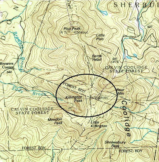
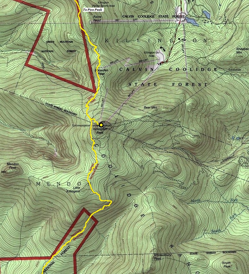
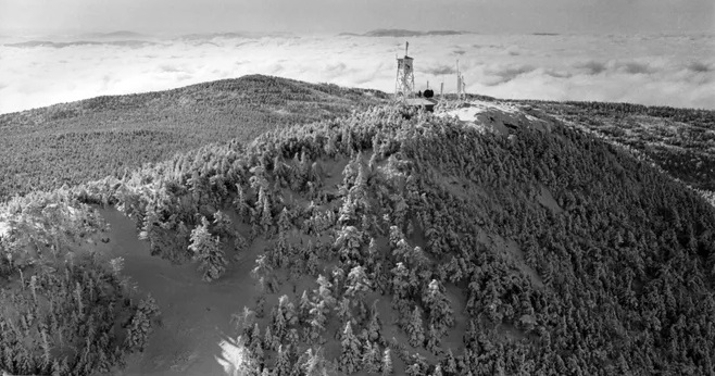
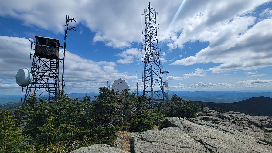
Photo by Andrew Kunkel
2023 Photo by Bob Bolton
Killington Peak Lookout
Killington Peak shelter
Killington Peak view
Lookout showing on a mid-1980s map
Photo by Killington Resort
Winter
Showing the Appalachian Trail route as it passes by Killington Peak.
My Visit
I did not get great weather but considering I found a window of no rain during the remnants of a hurricane, I got lucky. I set up my camp on the wood tent platform and then made a quick climb on the spur trail. I returned to camp just before it began to down pour for the evening. Only one other guy was at the camp in the shelter. Everyone else had gotten off trail for the storm. Quite a few slackpackers were seen during the day, as this is an easy area for those who do that kind of thing.




Trail north of the shelter
Killington Spur Trail
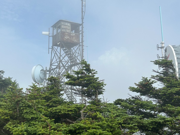
Killington Peak Fire Lookout
Sign for the Killington Spur Trail
Hiking up Killington Peak
Tent platforms at Killington Shelter


