McAfee Knob
From Interstate 81, take Exit 141 to VA 419/311. Go north for approximately 1/4 mile and turn right on Route 311. Travel 5.5 miles north on Route 311 to the top of Catawba Mountain, where there's a parking lot and the bridge where the Appalachian Trail crosses the road.
WillhiteWeb.com
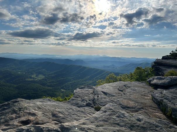
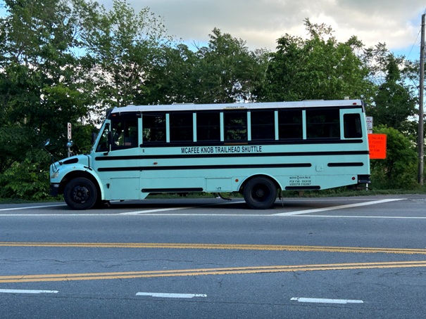
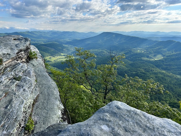
McAfee Knob is probably the most photographed spot on the Appalachian Trail. There is a 270-degree panoramic view but the ledge is what has made it so popular. They estimate around 50,000 visitors a year. Reaching the ledge is not to difficult for day hikers so there are a lot of people visiting, especially weekends. Parking is somewhat limited so the trailhead has its own bus service operated in partnership between Roanoke County & Ride Source. This is a seasonal shuttle operates every Friday, Saturday and Sunday, March to December. A new bridge over the highway connects the parking area to the trail.
Access:
Summit Elevation: 3,193 feet
Prominence: 1,235 feet
Hiking Distance: 4 miles one-way
Elevation Gain: 1,700 feet
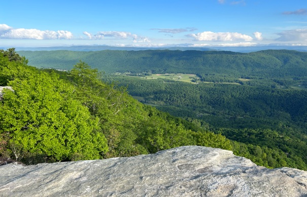
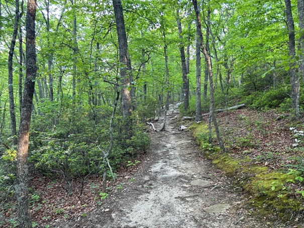
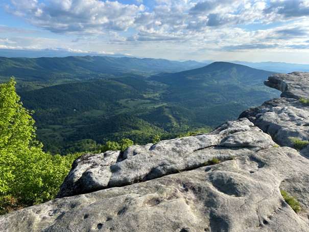
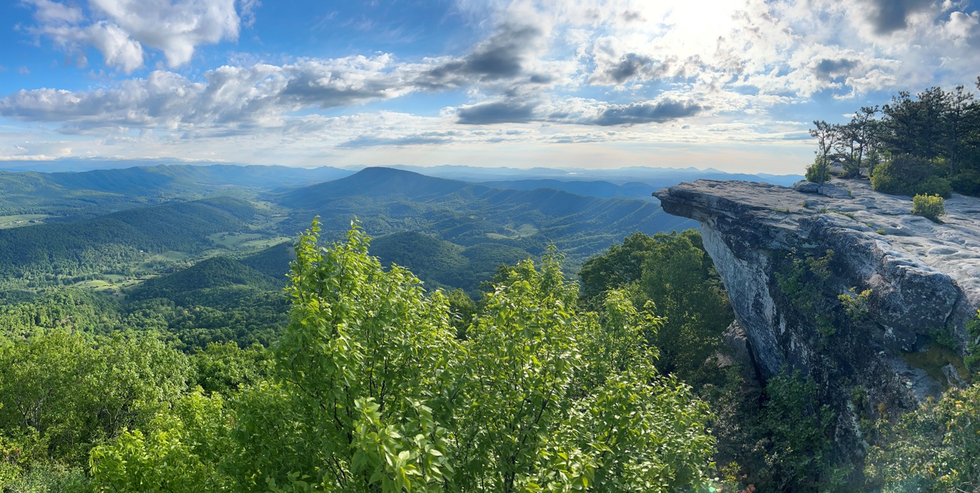
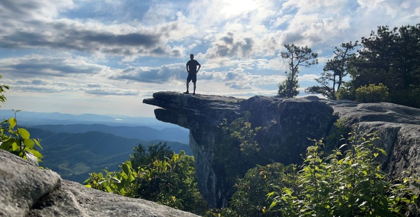
Somehow I managed to arrive in the morning when nobody was there. I had a 10 second timer on my phone so I had to set it on a rock and hustle to the ledge to get a shot.
McAfee Knob shuttle
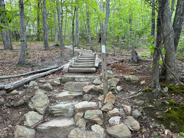
Lots of trail work for the masses
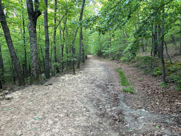
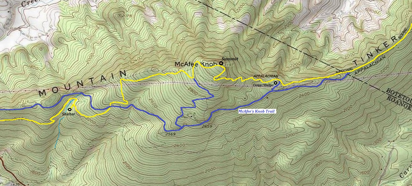
McAfee Knob trail
McAfee Knob trail
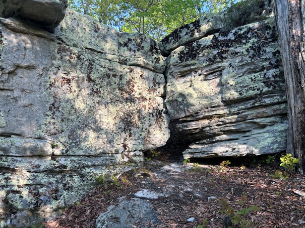
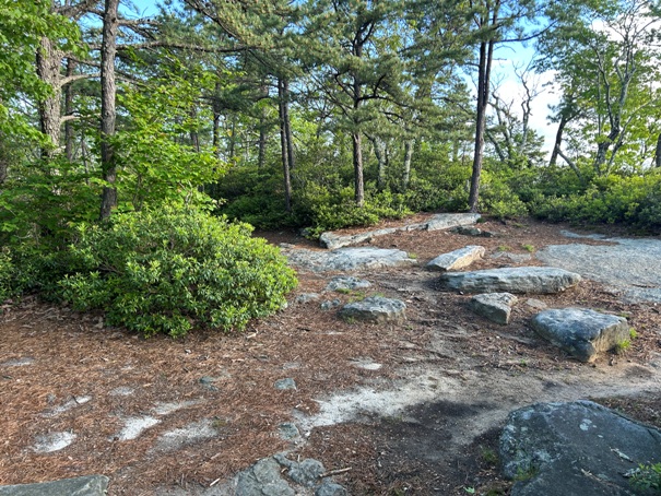
Rocks near the summit of McAfee Knob
Near top of McAfee Knob
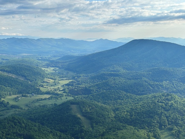
Looking into northern Virginia
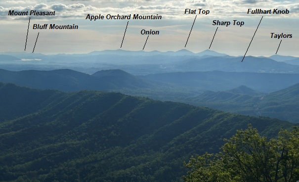
Appalachian Trail continues north over Apple Orchard Mountain labeled in distance.
Tinker Mountain on right


