Bear Mountain Tower
WillhiteWeb.com
Elevation: 2,326 feet
Prominence: 446 feet
State: Connecticut
County: Litchfield
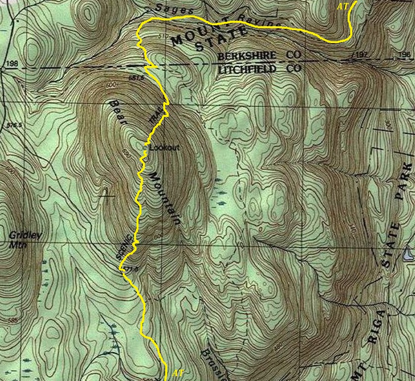
AT Access: Trail goes over the summit.
Tower History
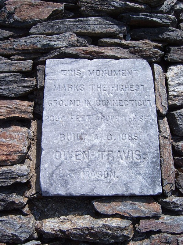
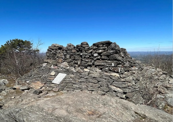
In 1885, Mason Owen Travis built a stacked-stone pyramidal tower on the summit of Bear Mountain and placed the stone marker saying this was the highest point of Connecticut. Of course, he had no idea that the validity of his plaque would be challenged decades later. It took Travis three years to haul 350 tons of native stone to the summit where, using no mortar, he built the tower. It was 22.5 feet tall but with the lightning rod topped by a little metal ball, it reached 39 feet. The structure could be seen from the valley below when there were fewer trees on the mountain.
In 1952, the Connecticut Geodetic Survey placed a bronze disk at the summit. They mentioned there was a large stone tower on top of the mountain.
In 1972, a private benefactor contributed to a helicopter delivering supplies for restoration, including a cement cap. A few years later, new damage was repaired by a scout troop.
In 1973, the Connecticut Geodetic Survey returned placing a station mark on a pipe at the top of a 15 by 15 by 20 foot high stone tower along the Appalachian Trail and just east of the summit.
In 1978, the monuments east corner gave way, it sagged and collapsed. The cement cap slid to the ground and lay in rubble. That was the last time it was at full height.
In 1982, the Commissioner of Environmental Protection Stanley J. Pac with some political help got state funds allocated to stabilize what was left of the tower.
In 1984, the Connecticut Geodetic Survey returned, this time calling it the Bear Mountain Stone Lookout Tower and that the National Park Service had ownership. They gave the contact person as Mr. Norman Sills of Salisbury (who was a well known Appalachian Trail advocate, died 2016)
In 1984, the Connecticut Geodetic Survey returned finding the pipe bent over and the disk missing. It was not until the 1980s when USGS topo maps started showing the label lookout.
Today, a lower flat topped pyramid still crowns the mountain and serves as an excellent viewing platform for hikers. The National Park Service lists it as a historic cairn/tower.
Bear Mountain is the highest mountain that lies wholly within Connecticut, but it is not the state highpoint. Just one hill over to the east, on the slopes of Mount Frissell is the highest point in the state of Connecticut, even though Frissell is in Massachusetts. The USGS figured this out in the 1940s but the long held belief prior was that Bear Mountain had the highest ground.
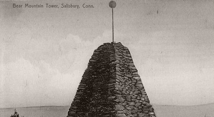
Intact structure with lightning rod and ball
False Inscription
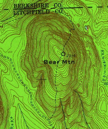
Nothing labeled on 1949 and 1958 maps
Route of Appalachian Trail as it crosses over Bear Mountain
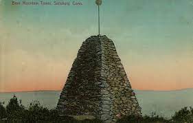
Postcard
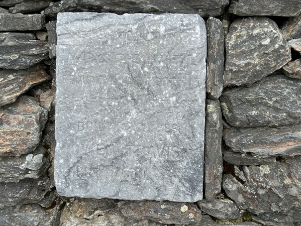
False Inscription in 2024
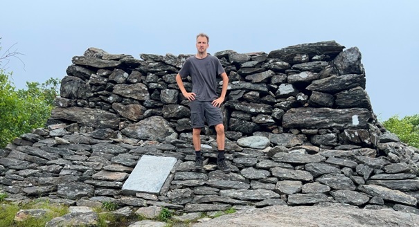
Structure in 2024
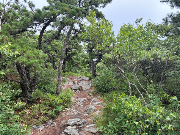
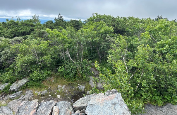
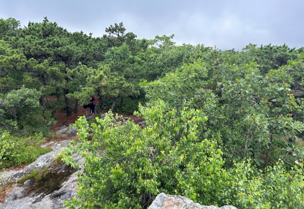
Trees on the summit of Bear Mountain
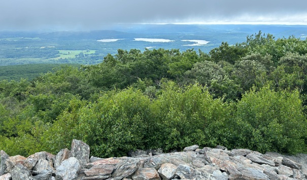
View from the rock structure
View from the rock structure
View from the rock structure


