100 Mile Wilderness, Maine
Hiking north for 2,100 miles on the Appalachian Trail, you will hear people talking about the 100 mile wilderness. Some of the stories get quite embellished while others are very accurate. For people who do not hike fast or far each day, the wilderness is challenging carrying lots of food and having no escape route. In realty, if you can afford it, there are services to drop off food and to take you out. For people accustomed to longer food carries or hiking fast, the wilderness is literally no big deal at all. It is not an actual wilderness area like it once was; there are many roads and even a railway passing through. Still, the area is remote and very enjoyable.
WillhiteWeb.com
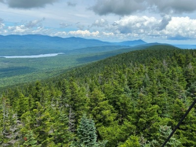
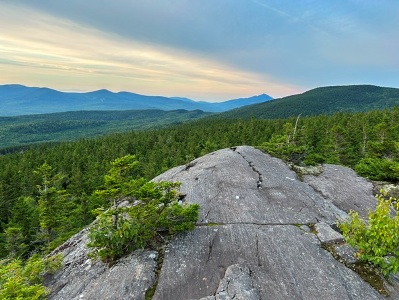
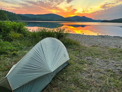
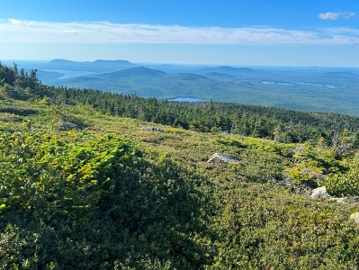

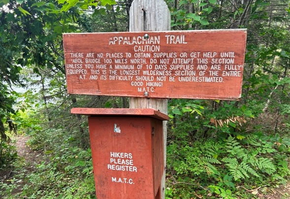
The famous entry sign to the 100 mile wilderness
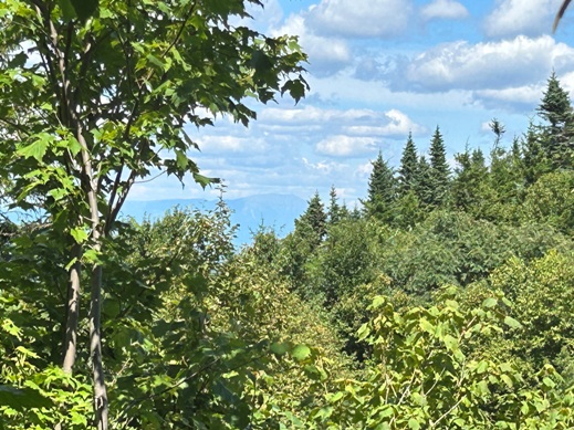
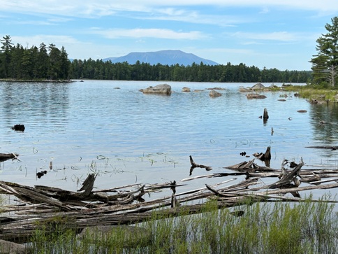
Several locatons to view Mt. Katahdin
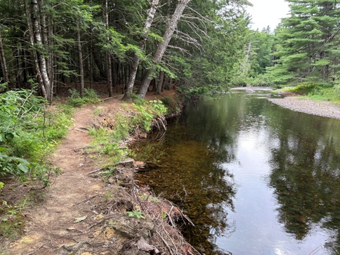
Nahmakanta River
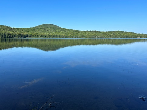
Mountain View Pond
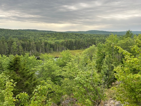
Small viewpoint
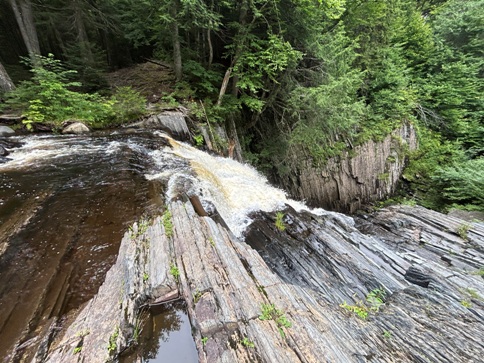
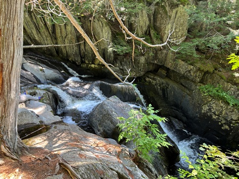
Little Wilson Waterfall
Screw Augur Falls
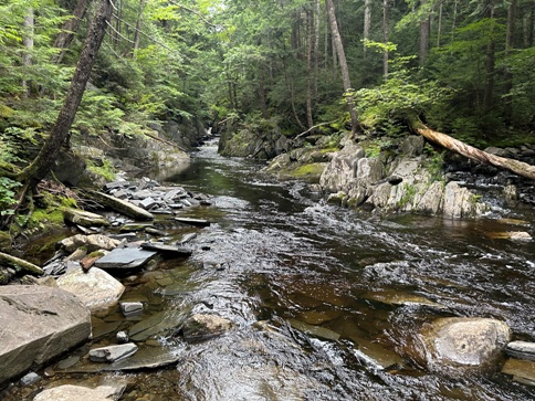
Stream
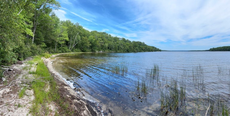
Jo-Mary Lake
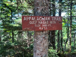
This was my first view of Mt. Katahdin from the northern end of the ridge of Gulf Hagas Mountain.
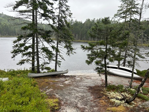
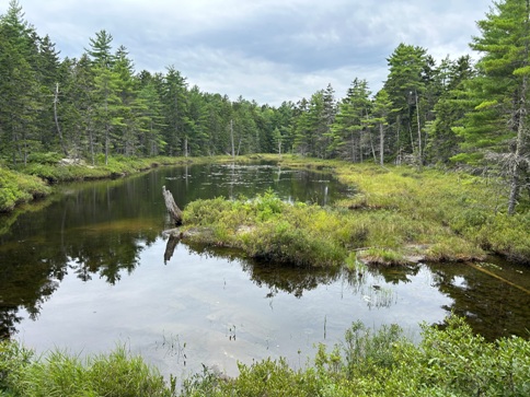
Crescent Pond
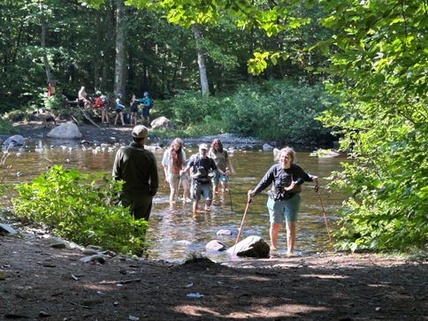
Lots of dayhikers crossing West Branch Pleasant River near the Hermitage Preserve.
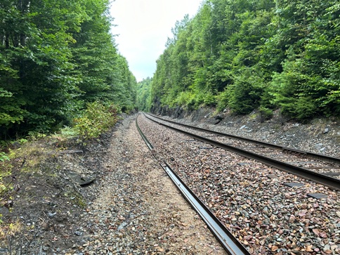
Railroad crossing in the 100 mile wilderness.
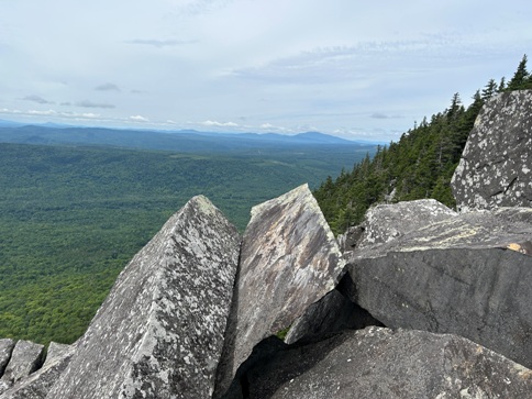
Barren Ledges view
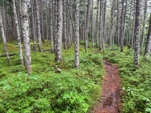
Forest near Church Pond
Plane crash site on Barren Mountain.
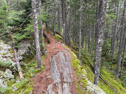
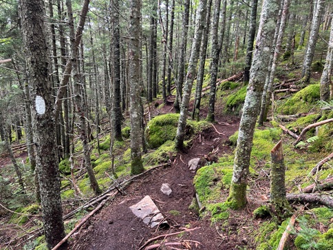
Forest trail on ledges.
Crawford Pond with Little Boardman Peak above.
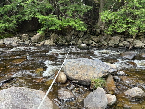
Stream crossing with a rope.
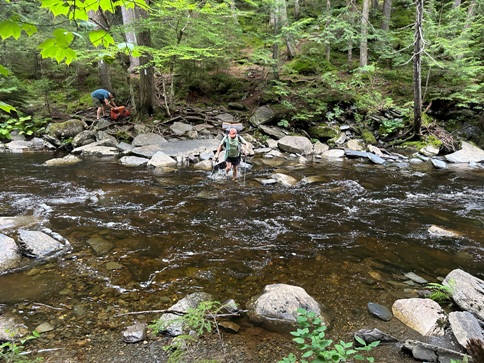
Stream crossing with no rope.
Forest near Crescent Pond.
Forest on Baren Mountain
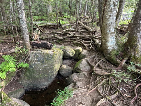
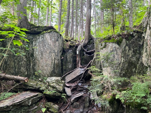
Trail goes up the tree roots.
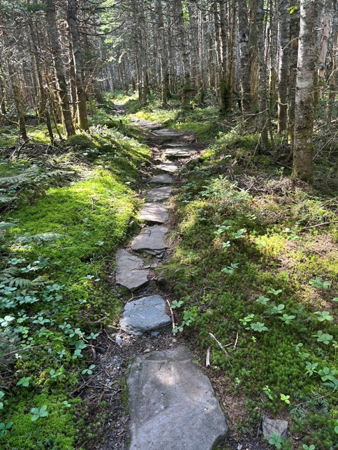
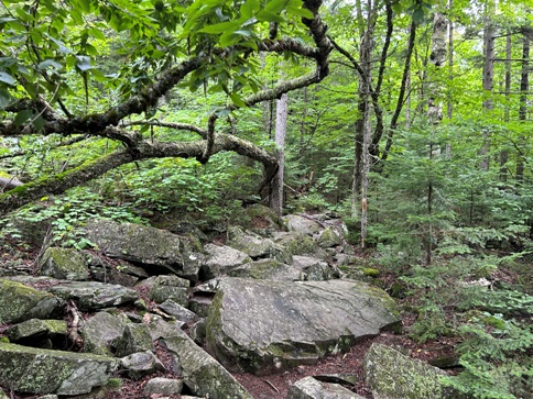
Trail of rocks.
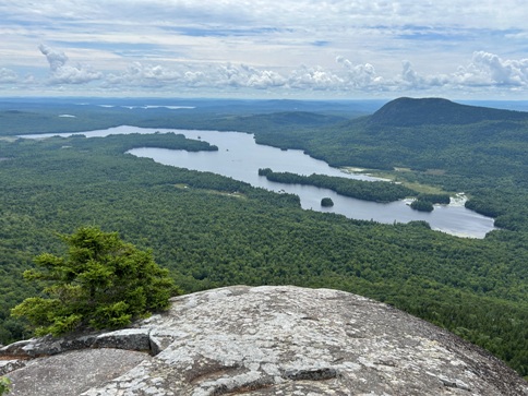
Barren Ledges view over Lake Onawa.
The Appalachian Trail is worn away.
North Pond Brook
North Pond
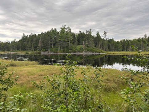
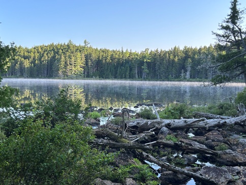
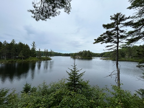
Pond
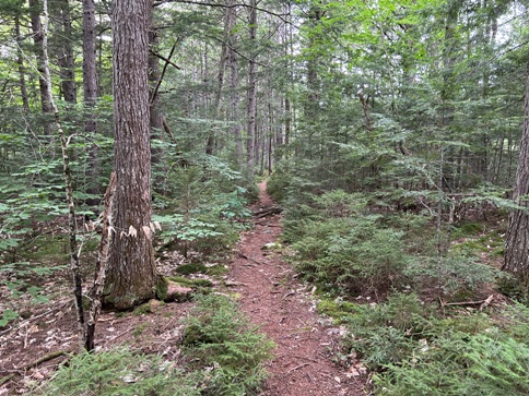
Lots of forest walking.
Some nice trail work.
Appalachian Trail peakbagging


