White Cap Mountain Lookout
WillhiteWeb.com
Status: Former Lookout
Elevation: 3,654 feet
Prominence: 2,604 feet
State: Maine
County: Piscataquis
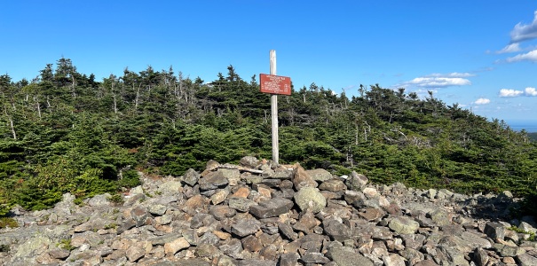
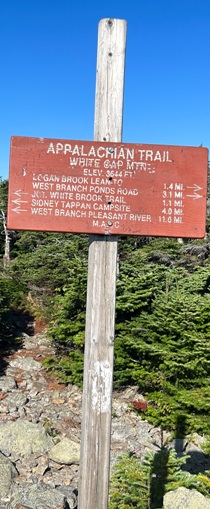
AT Access: Trail over the summit
Lookout History
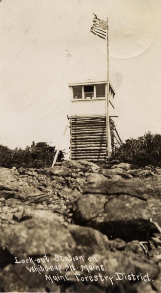
In 1906, a 12-foot wooden log crib tower was erected on Whitecap Mountain, overlooking 300,000 acres on the Kennebec and Penobscot watersheds.
In 1910, during the early part of the season they had to repair the telephone line from Roach River to the top of White Cap Mountain.
In 1914, a 20-foot log tower was erected on White Cap Mountain along with a portable house.
In 1917, J.L. Chapman, Milo, Chief Warden for the district said that the tower house was partly carried away by the high winds the prior season. This required the repairing of the tower house early this season.
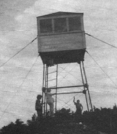
In 1920, a 24-foot steel tower was started.
In 1921, the steel tower was completed on White Cap Mountain.
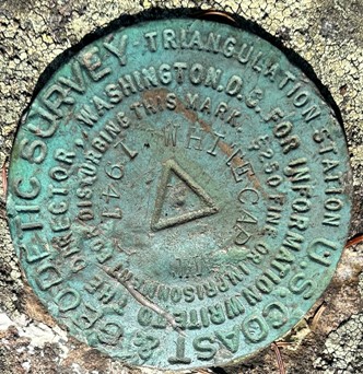
In 1941, the Coast and Geodetic Survey stopped by and mentioned the lookout tower on the most easterly bare point of the mountain, a steel tower with a glass enclosed lookout approximately 20 feet above ground level, painted white.
In 1955, the survey party returned and described the lookout as a Maine Forest Service tower with an 8 foot square white painted cabin about 8 feet in height and a pointed roof, standing on a steel quadripod 18 feet in height.
In 1968, the tower was deactivated.
In 1978, a National Geodetic Survey team said the tower was leaning.
In 1993, the tower was removed.
Today remnants like wooden planks, broken glass, and large rusted bolts can be seen in the trees and scree field.
White Cap is the tallest peak in the 100 Mile Wilderness, so the views are quite expansive of the region. It is also the last major mountain before Katahdin. There is 68 miles of generally easy terrain from the summit of White Cap to the base of Katahdin layed out before you in view
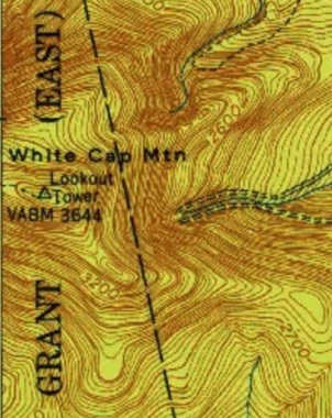
Lookout on a 1952 map
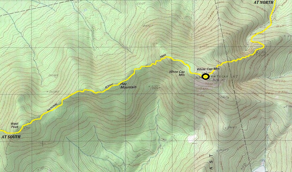
Route of the Appalachian Trail as it passes over White Cap Mountain.
Labeled as White Cap Watchmans Camp
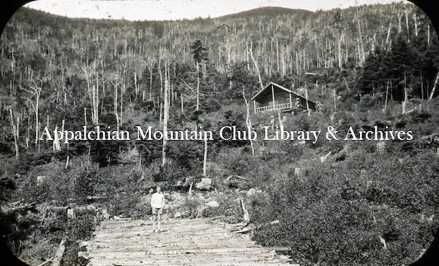
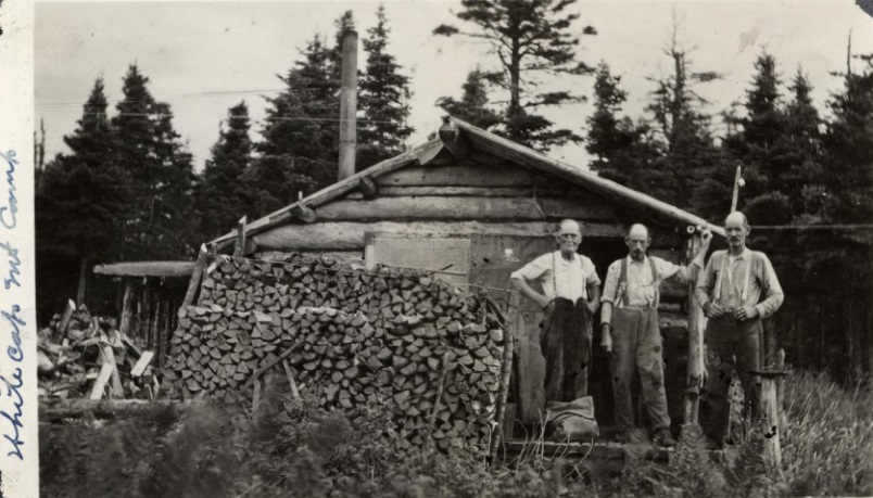
Labeled as White Cap Fire Wardens Cabin 1934
White Cap Mountain Lookout 1934
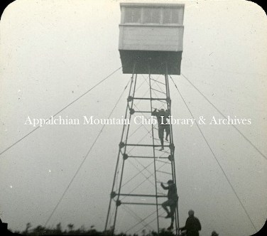
White Cap Mountain Lookout 1920s
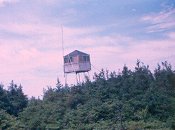
White Cap Fire Tower
1955 image
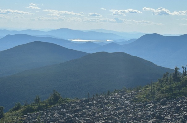
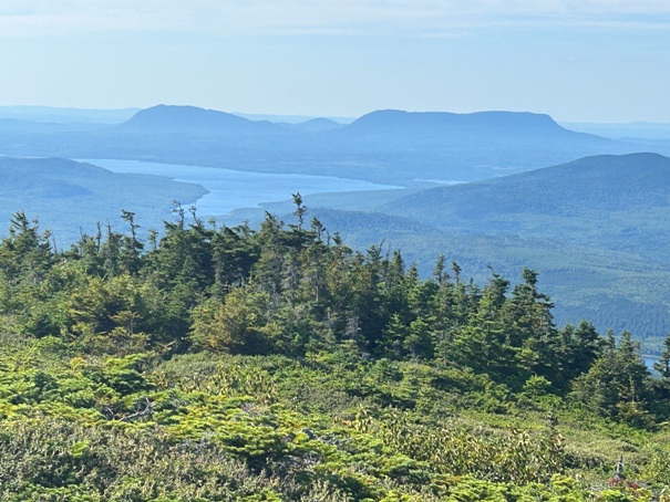



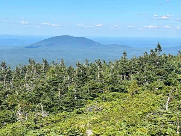

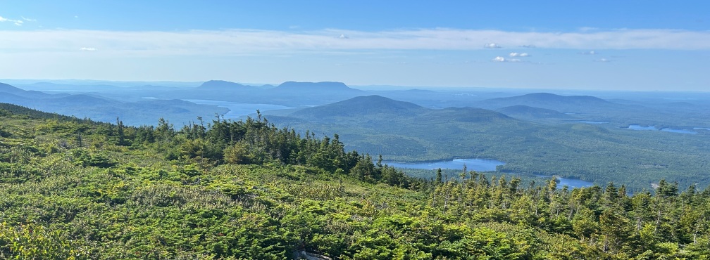
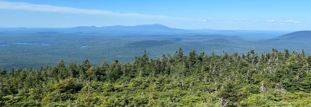
Looking NW
Summit sign
Looking SE
Looking NW
Looking NE to Mount Katahdin
Looking SW
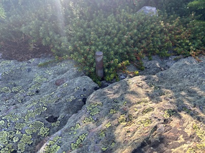
Metal anchor post in the rocks
Footing bolt
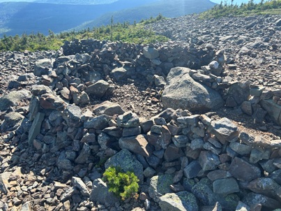
Several rock shelters on the summit
Summit sign
Looking west back over several mountains the Appalachian Trail crossed.
Looking NW while hiking down the mountain
Jo-Mary Mountain


