Mount Abraham Lookout
WillhiteWeb.com
Status: Former Lookout
Elevation: 4,040 feet
Prominence: 880 feet
State: Maine
County: Franklin
AT Access: 1.5 mile side trail to summit
Lookout History
In 1924, the steel was brought to the mountain for a 15-foot tower. Work was inspected by acting Forest Commissioner Neil L. Violette. Other work on the mountain was a seven-mile telephone line and a camp for the watchman. Because of the lack of trees on this mountain the tower is a very short one. The construction crew was in the middle of several towers being constructed this season.
In 1925, after the fire season, the lookout station was blown down and wrecked. The tower was loaded with ice and the strain caused the bolt on one of the four supporting cables to give way and the tower crash to the earth.
In 1928, a Coast and Geodetic Survey crew arrived at the summit and found a fire lookout on top. In route, they said it was a 5 and a half hour walk to the cabin of the lookout man and another 1.5 miles from the cabin to the top of the mountain. They also said it was well marked but steep and rocky from the cabin to the top.
In 1935, there was a 20-foot tower rebuilt.
In 1949, while preparing for his seasonal work as fire watch on Mount Abram, Cecil Harris of New Sharon, discovered while stringing a telephone line from his camp to the tower that the structure had been destroyed. Harris found the site a mass of ruins, the remains of a fire believed caused by lightning during a recent shower.
In 1956, down at the wardens cabin, an L shaped log addition was built onto the camp to provide more space for Warden Harris and his wife.
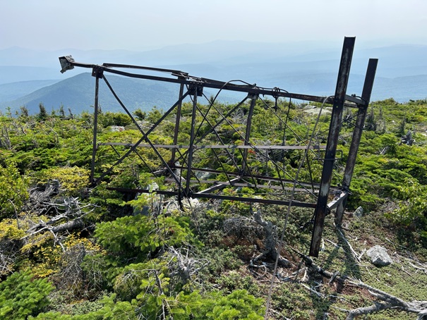
In 2014, the tower was blown over in October.
Mount Abraham is a 4000-footer, the ninth tallest and the second largest alpine zone in Maine, second only to Katahdin. The Appalachian Trail approach is much closer than maps show but it is still a few hour detour off the trail. Most locals will be coming up the steep old Fire Warden Trail but since you have already gained most the elevation on the AT, why not make the detour and check out this historic summit. Eight Peaks make up the 4.5 mile ridge line. Note that there is another Mount Abraham 4000er in Vermont that the Long Trail cross over.
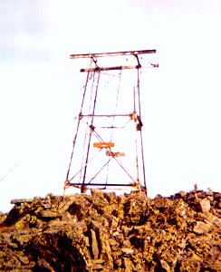
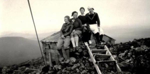
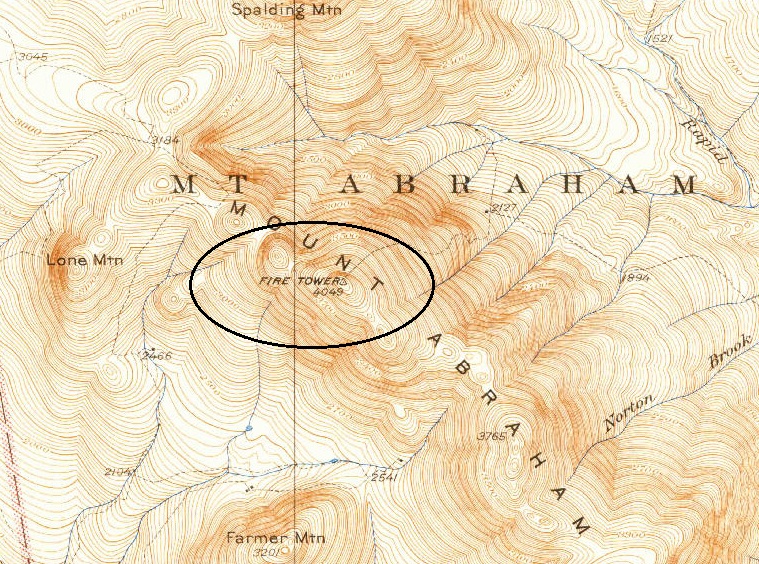
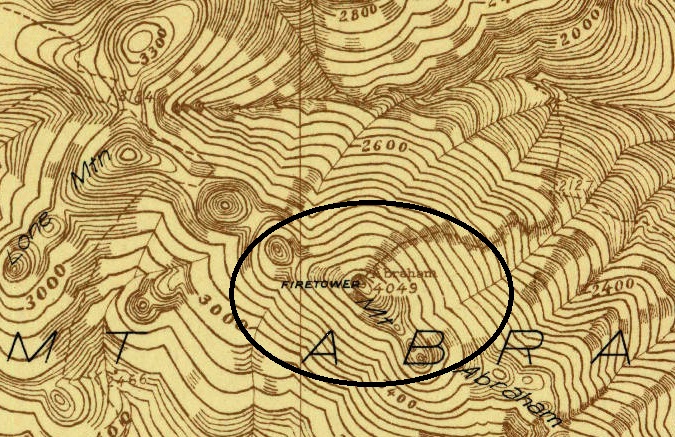
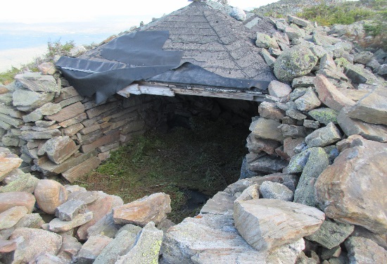
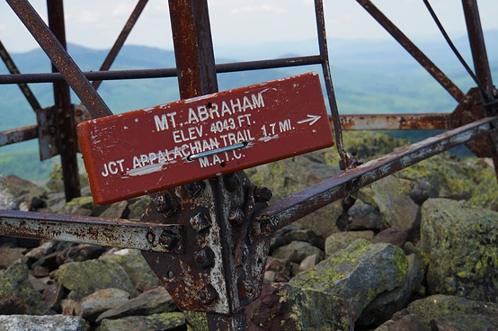
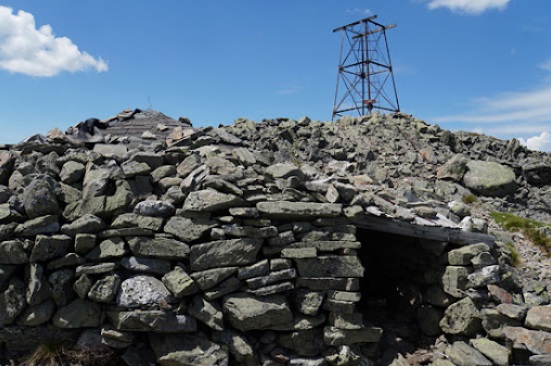
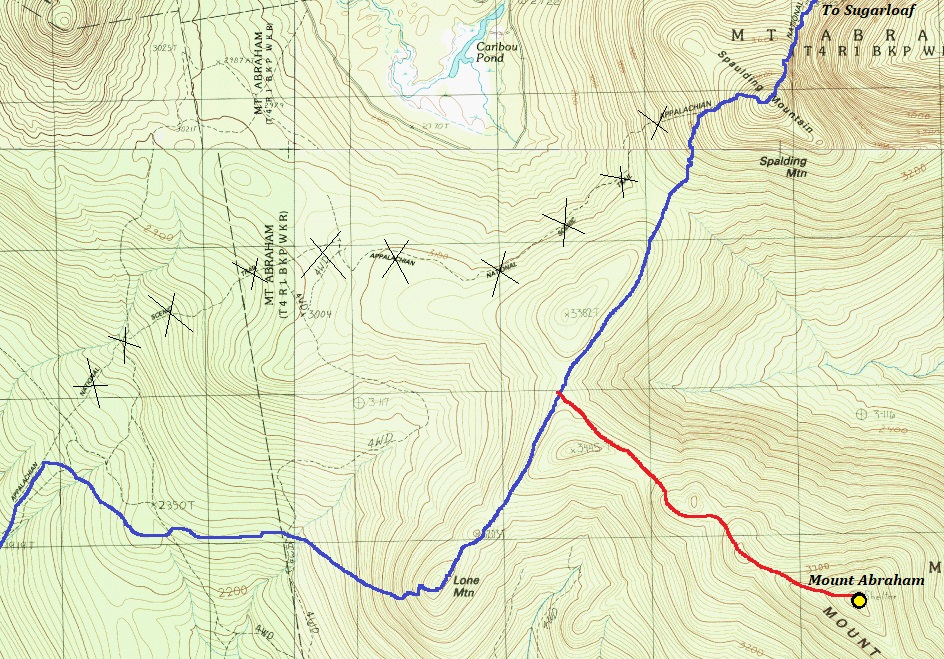
Photo by William Ausser
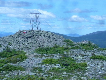
Shelter and tower
June 2014
When the tower was still standing
1932 USGS with 1942 update
1929 map
Route of the Appalachian Trail as it passes near Mount Abraham. AT is blue. Mount Abraham Trail is red, a 1.5 mile detour each way.



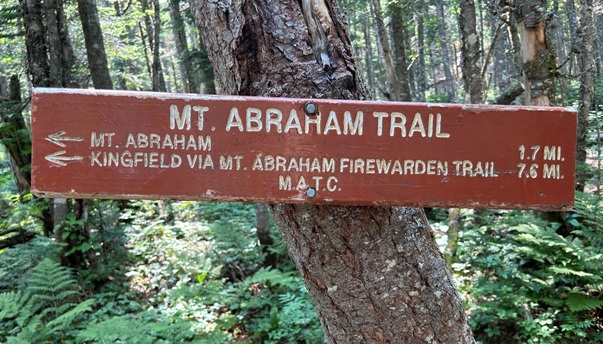



Sign at the Appalachian Trail
Trail to Mount Abraham fromt the AT
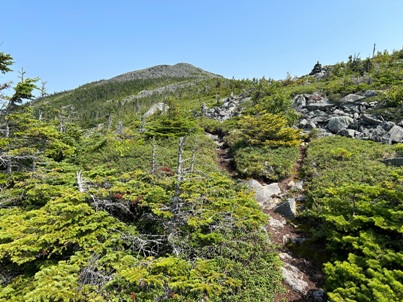
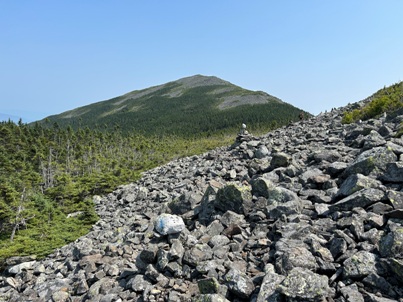
Trail breaks out of the trees with this view to the summit
Hiking up Mount Abraham
Nice meadow along trail
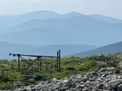
Lookout tower with Saddleback in the distance
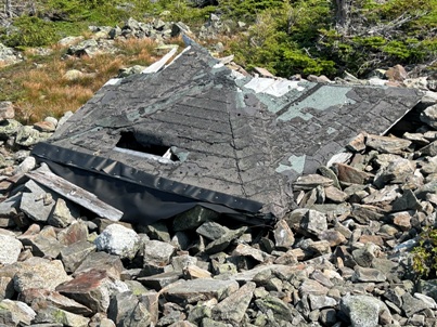
Roof
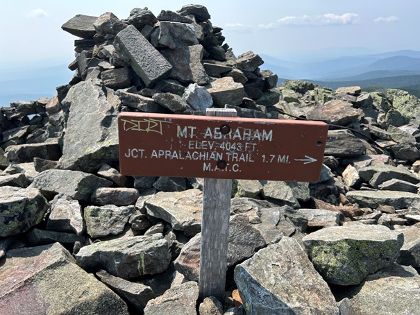
Summit sign
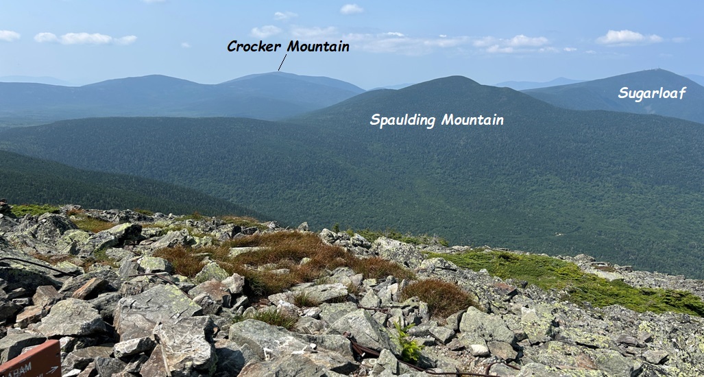
Looking NE
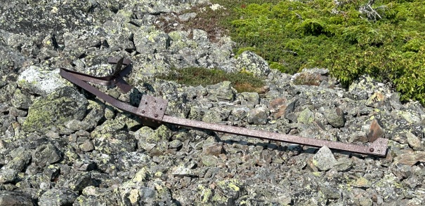
Metal from the lookout
Tower on its side down the hill a bit
Enjoying another summit
By evening I was camping on the summit of Sugarloaf
I awoke this morning on the summit of Saddleback Mountain.
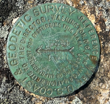
Directional benchmark on the summit
Summit area


