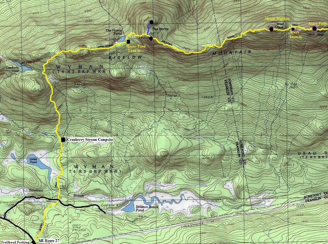
At ME 27, I was just looking to get a ride up to Mountainside Grocers to get a re-supply. I tried hitching a ride for 25 minutes but had no luck. While doing so, I called what I thought was a shuttle and they said they would be right down to pick me up. Several other people were there waiting for a ride into Stratton (the other direction). Turns out I called Hostel of Maine and they assumed I wanted to stay the night. So, since I was ahead of schedule and already on my way, I decided to stay in a room. The hostel was within walking distance of the Mountainside Grocers so that worked out well. I also met several other hikers at the hostel that I had been following online since we met in Tennessee. By the next morning, it was time to take on the Bigelows. I could have done the slackpacking thing but it would have been expensive and time consuming. I was dropped dropped off and made quick work of the ascent. Luckily, the weather cleared out for most of the time I was on the ridge. By days end, the Bigelows were in the rear view mirror and I was alone at a spectacular waterfront campsite on Flagstaff Lake.
One of the summits was a former lookout site. See the Avery Peak page:
The Bigelows, Maine
One of the final ranges in Maine is called the Bigelows. Most thru-hikers take a break at ME 27 (Stratton) before tackling the range. There is plenty of talk about strategy regarding the Bigelows. Some prefer to do the entire traverse in one long day while staying at a hostel for two days. Others a bit slower plan to camp at one of the numerous shelter and camping locations along the ridgeline. The route climbs over the South Horn, Bigelow West Peak, Avery Peak, and finally Little Bigelow Mountain. To top it all off, you drop off the final ridge to some amazing campsites on Flagstaff Lake.
WillhiteWeb.com
My Visit:
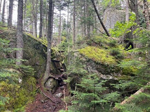
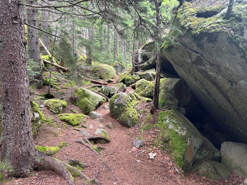
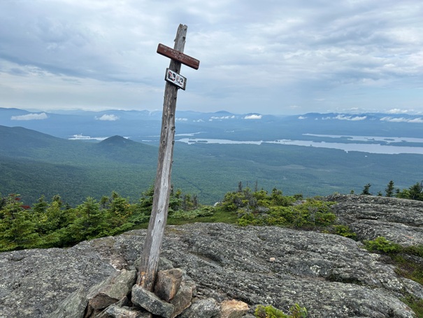
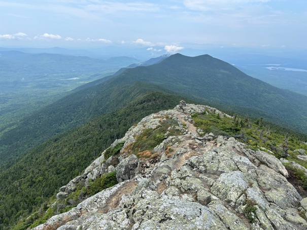
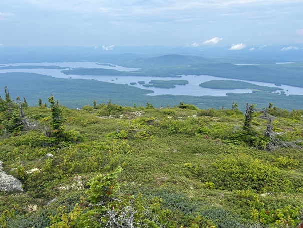
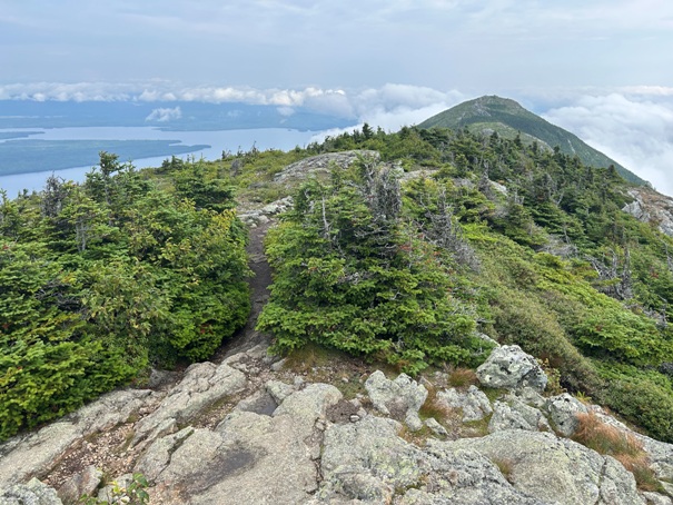


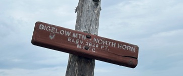
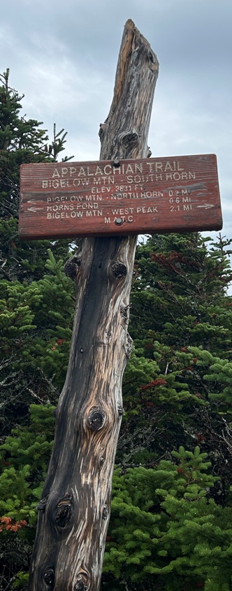
Bigelow Mountain Trail going through some interesting rocky areas.
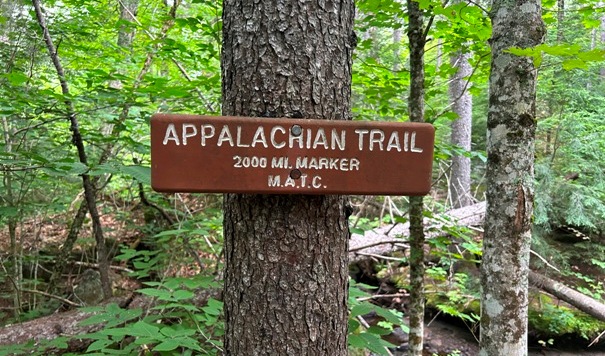
Just 200 more miles to go.
On the ridge approaching The Horns.
South Horn from the North Horn (AT goes over this one)
The North Horn has great views but access a side trail with a few hundred feet of extra gain.
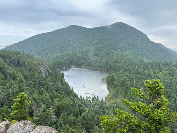
The Horns with The Horns Pond below it.
The Appalachian Trail goes over South Horn with no views except one viewpoint about halfway up the mountain.
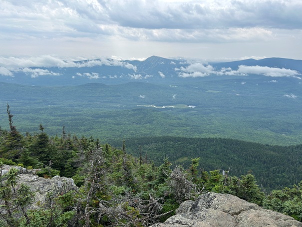
A viewpoint going up South Horn.
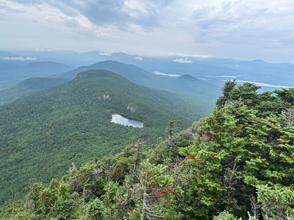
The Horns Pond with The Horns (North and South Peaks)
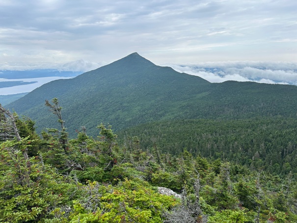
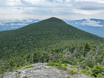
Bigelow Mountain West Peak from North Horn Peak
Bigelow Mountain North Peak sign
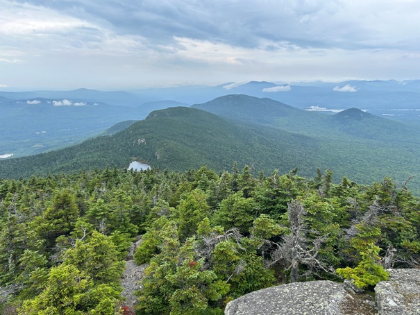
From Bigelow West Peak looking back to The Horns.
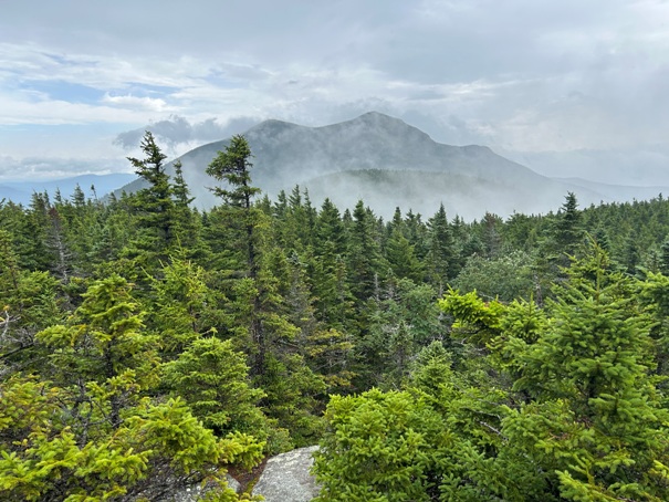
Looking south to Sugarloaf Mountain and Crocker Mountains.
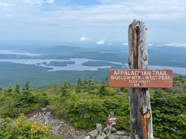
Looking north to Flagstaff Lake. By evening, camp would be on the beach of this lake.
On Bigelow Mountain West Peak looking to Avery Peak.
Looking northwest from North Horn Peak
Summit of Bigelow Mountain West Peak
A viewpoint going up South Horn.
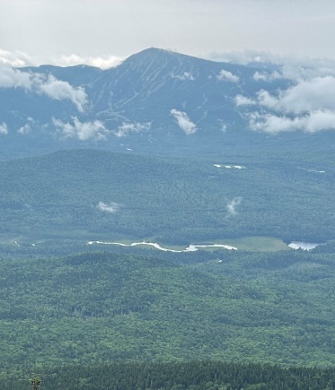
Sugarloaf Mountain
For pictures of Little Bigelow Mountain and Flagstaff Lake, see:


