Gorham to Mahoosuc Notch
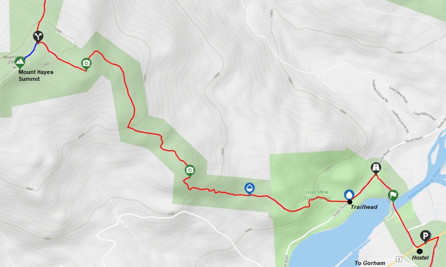
I was now fully loaded with a re-supply from the Walmart near Gorham. I got a shuttle ride from Gorham to the The Quantum Vortex hostel, the location I stopped the day before. I then walked the AT road/trail over the Androscoggin River to the Centennial Trailhead. What happened next I would never ever believe could happen to me on the trail. I hiked up the trail 2.8 miles to the Mount Hayes spur trail. Being a peakbagger, I needed to go to the highest point so I left the AT and followed the 5 minute side trail to the summit. Upon returning to the trail split with the AT, instead of continuing northbound, I went southbound down the trail I had just come up. After dropping around 1.5 miles I started getting the sense something was wrong. I looked at my map/app and could not believe my eyes. How was it possible to walk down that far and not realize you just hiked up the trail? With my super heavy loaded pack, I just started back up, there was nothing else to do, just climb back up and try not to let it get in my head, how stupid it was. In my defense, the trail junction near the summit of Mount Hayes was really wonky directionally and only marked with rock cairns.
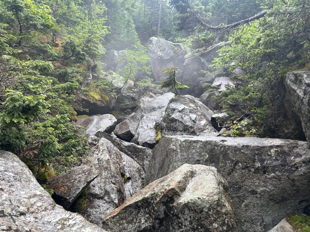
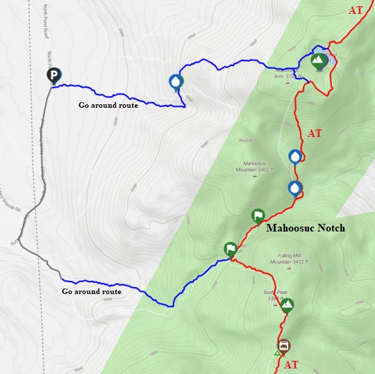
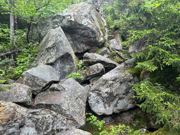
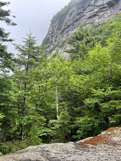
Eventually I made the crossing into Maine and to Mahoosuc Notch, considered the hardest mile of the Appalachian Trail. This is where the trail passes through a narrow valley with towering cliffs on both sides. Over thousands of years, giant chunks of rock have sheered off the cliffs and accumulated at the bottom of the valley. The trail decided to go through this for fun. For most, it is a challenging endeavor, given the route finding and rock scrambling skills needed. For me, I had been doing rock scrambling for over thirty years so negotiating my way though was pretty straightforward and rather fun. My time was half the average pace, so for me, the hardest mile would still be one of the climbs in the Whites like Kinsman Ridge.
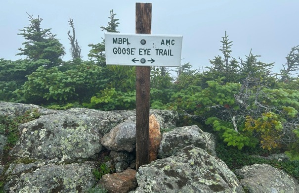
Thanks to the double climb of Mount Hayes, the day turned out to be a 30 mile day (ending on the summit of Old Speck Mountain). Between Mount Hayes and the Mahoosuc Notch, there were other minor mountains like Cascade Mountain, Mount Success, Mount Carlo, Goose Eye Mountain, North Peak and South Peak. Unfortunately this was a rainy overcast day for me so most views were hidden, but least 8 mountains were climbed.
WillhiteWeb.com
New Hampshire and Maine
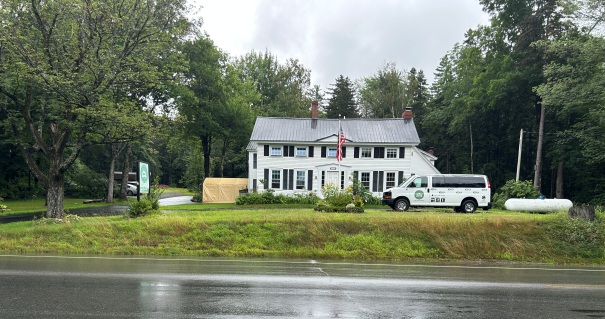
The Quantum Vortex hostel is on the AT during a short road walk section. They were the shuttle I used to get in and out of Gorham. I should have also just camped here too.
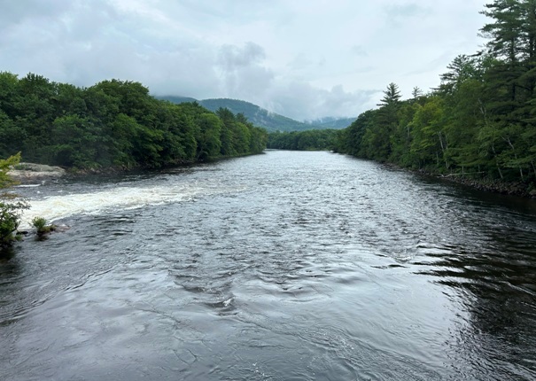
Crossing the Androscoggin River
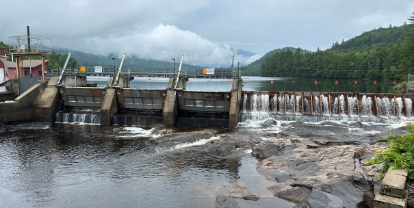
Dam on the Androscoggin River
Mount Hayes turnoff
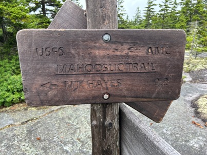
Mount Hayes spur trail sign
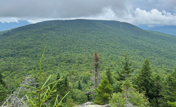
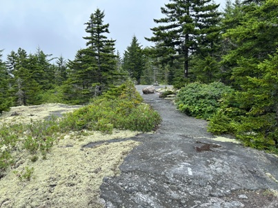
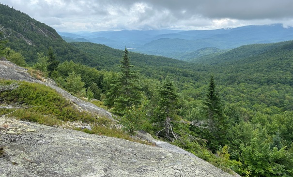
A bit of a view near Mount Hayes
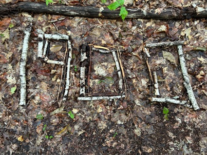
1900 miles done
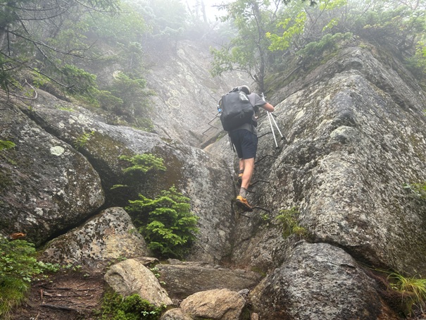
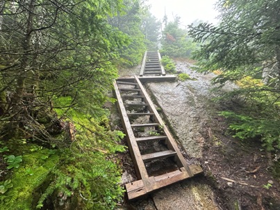
Steps to get up rock faces
Trail goes over Cascade Mountain
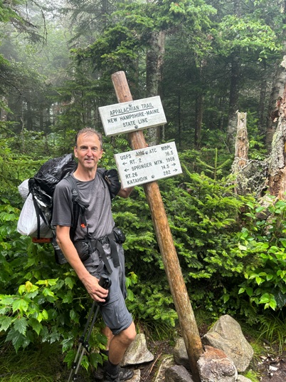
Entering Maine
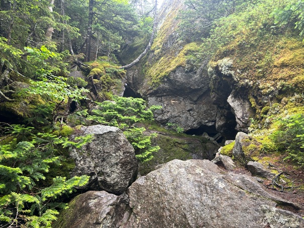
Some of the cliffs above Mahoosuc Notch
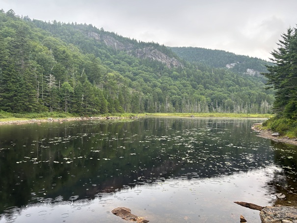
Page Pond
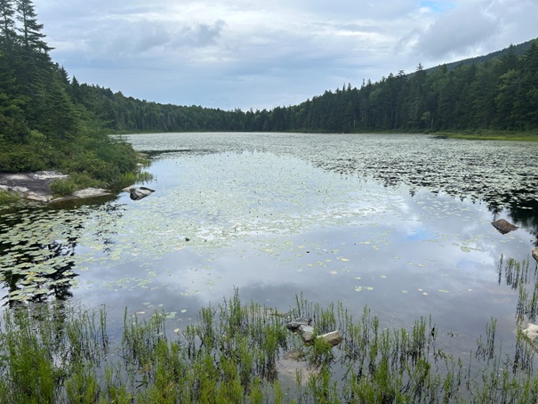
Trail goes by several ponds
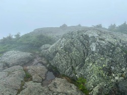
Short detour over to a foggy Goose Eye Mountain summit.
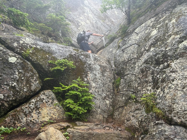
Going up rocks with rebar steps
Hiked a few hours with this guy who was doing the trail in 100 days.
Mahoosuc Notch
Mahoosuc Notch did have some arrows pointing the best way
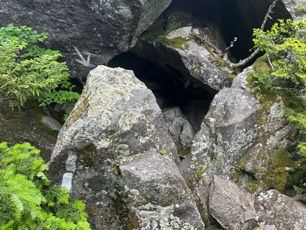
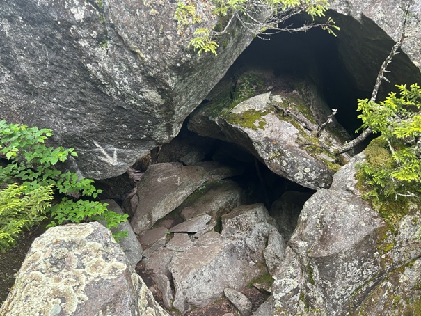
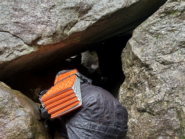
Trail passes through this hole below giant boulders. You have to pull your pack behind you. For this obsticle, there was no way around that I could see.


