WillhiteWeb.com
Blue Ridge Parkway Section
Appalachian Trail - Roanoke to Waynesboro
The Appalachian Trail shares parts of the ridge crest with the north end of the Blue Ridge Parkway in Virginia. This page covers those miles, basically the northern portion of the Parkway which is between Roanoke and Waynesboro. Because of the easy access and many parkway crossings, this area receives a lot of welcomed trail magic.


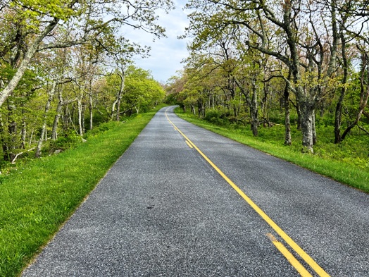
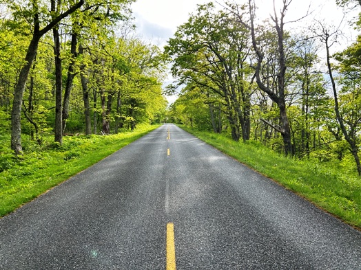
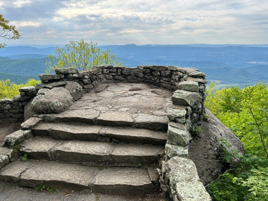
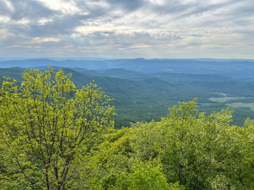
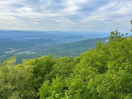
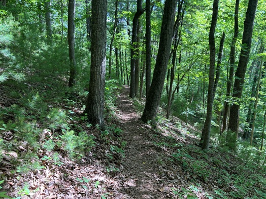
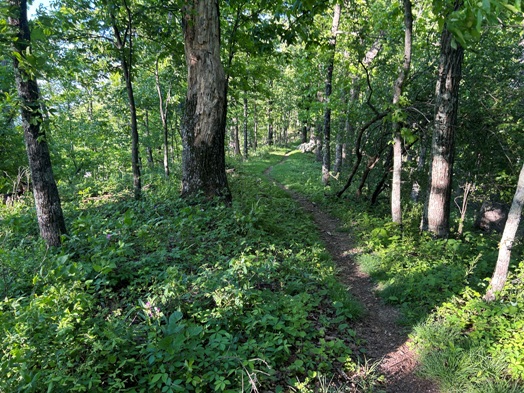
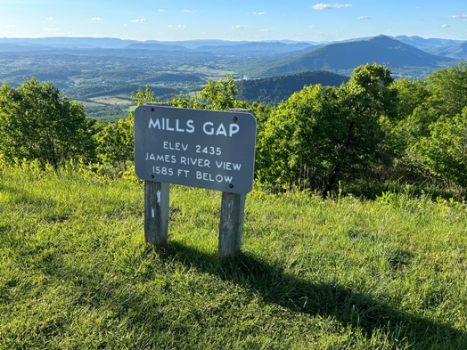
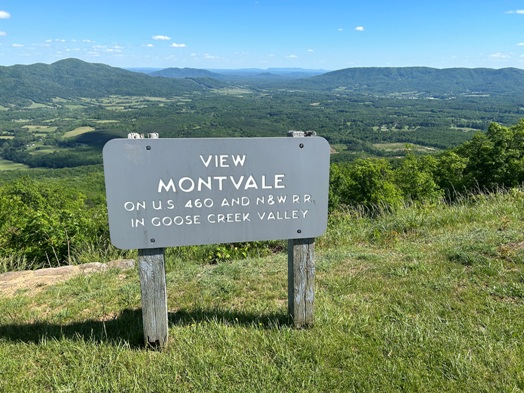
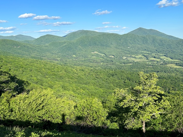



Appalachian Trail passes near the Peaks of Otter. Flat Top Mountain and Sharp Top Mountain.
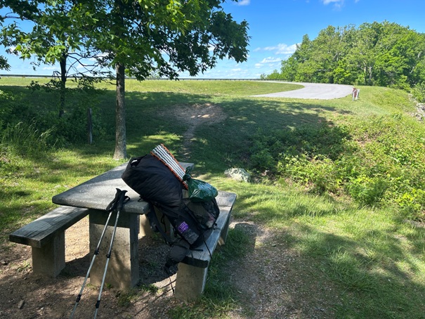
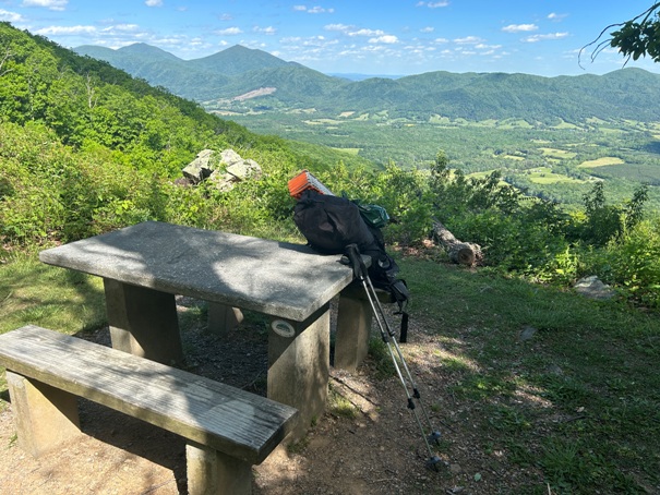
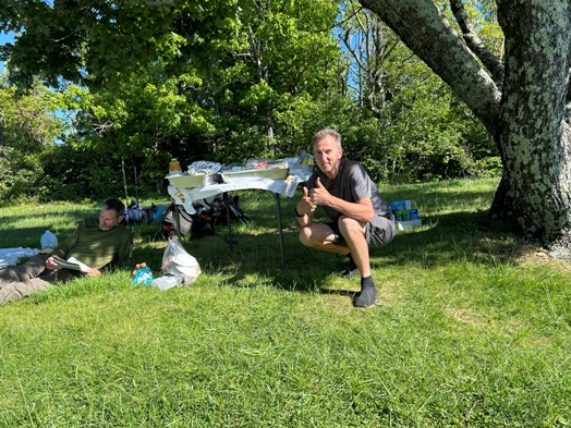
Picnic table at one of the parkway pullouts.
Taking a break looking at Sharp Top Mountain and Flat Top Mountain in distance.
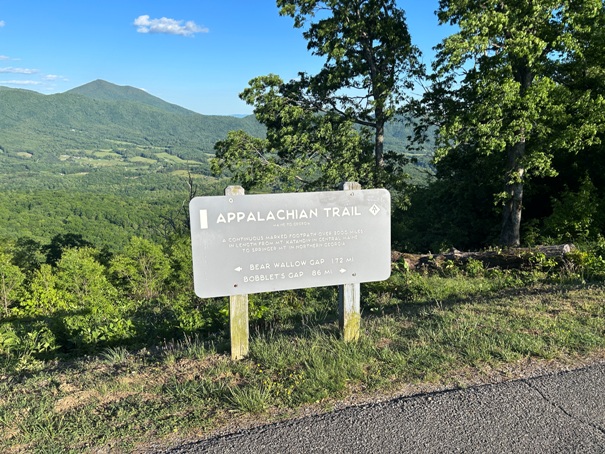
Sign on the parkway saying the Appalachian Trail is a continuous footpath over 2000 miles in length from Mt. Katahdin in central Maine to Springer Mountain in Northern Georgia.
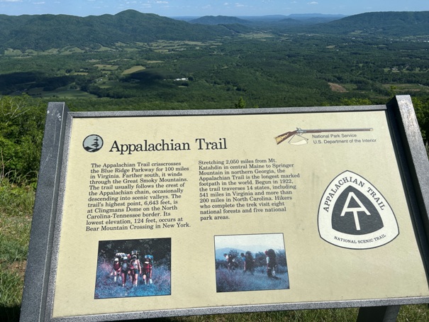
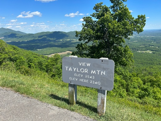
Another sign on the parkway although the sign is a bit dated. The Appalachian Trail crisscrosses the Blue Ridge Parkway for 100 miles in Virginia. Farther south, it winds through the Great Smoky Mountains. The trail usually follows the crest of the Appalachian chain, occasionally descending into scenic valleys. The trails highest point, 6,643 feet is at Clingmans Dome on the North Carolina/Tennessee border. Its lowest elevation, 124 feet, occurs at Bear Mountain Crossing in New York. Stretching 2,050 miles from Mt. Katahdin in central Maine to Springer Mountain in northern Georgia, the Appalachian Trail is the longest marked footpath in the world Begun in 1922, the trail traverses 14 states, including 541 miles in Virginia and more than 200 miles in North Carolina. Hikers who complete the trek visit eight national forests and five national park areas.
After a large departure away from the road to climb The Priest and Three Ridges, the AT reunites with the Blue Ridge Parkway.
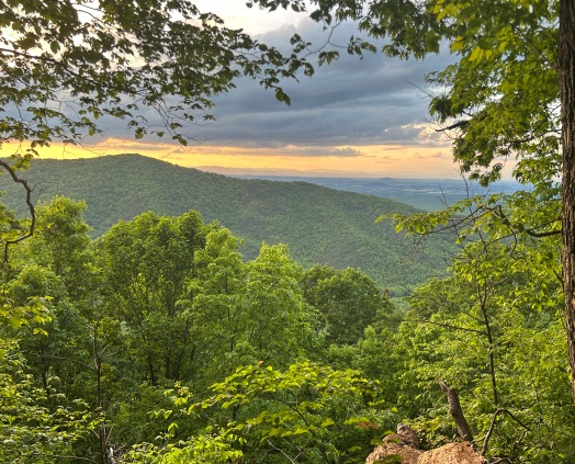
Sunset from the trail.
Some nice trail magic with fresh food.
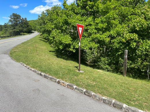
The crossings are only slightly signed, here a post with symbol, and a white blaze on the yeild sign.
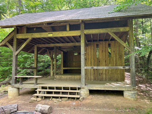
Trail shelter
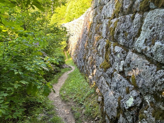
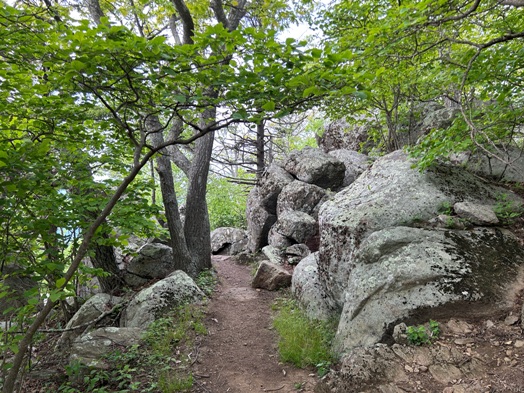
Trail below a Blue Ridge Parkway retaining wall.


