Bemis Mountain, Maine
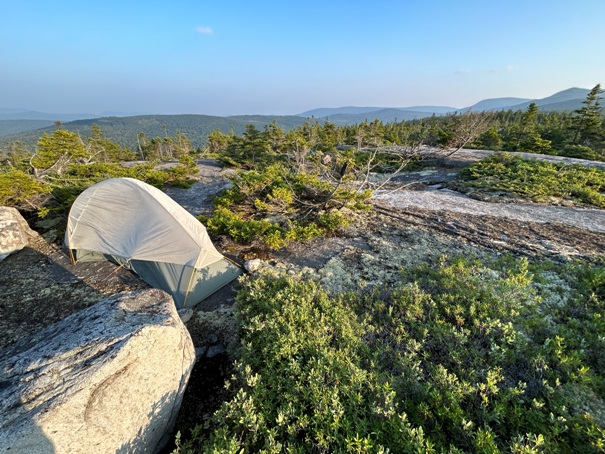
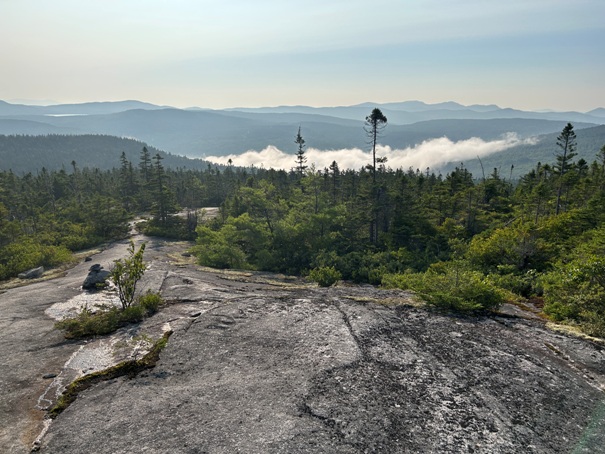
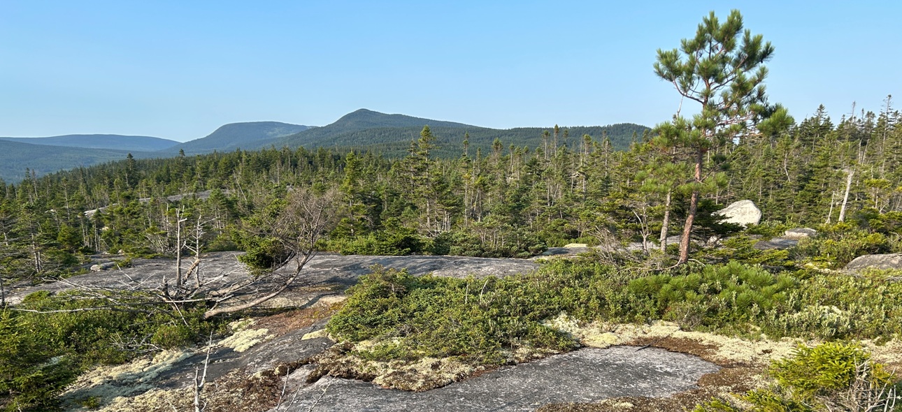
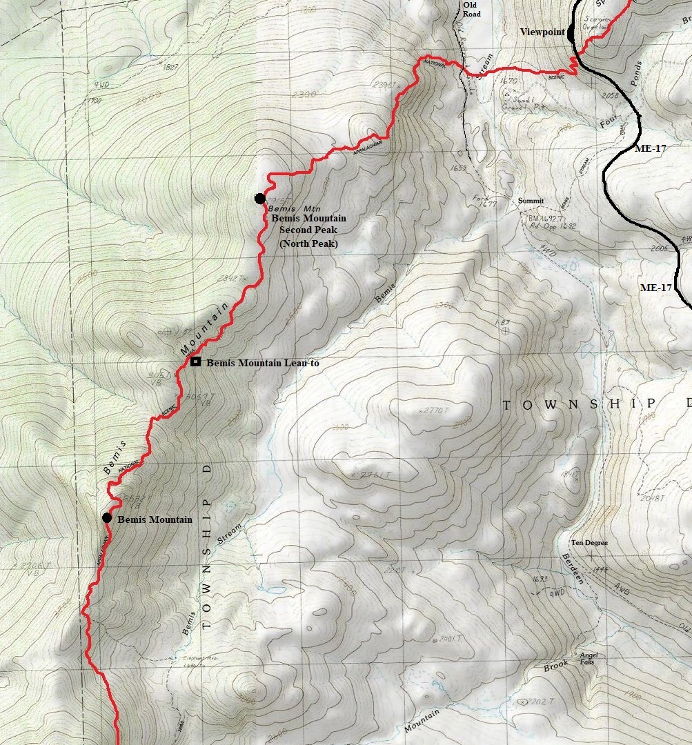
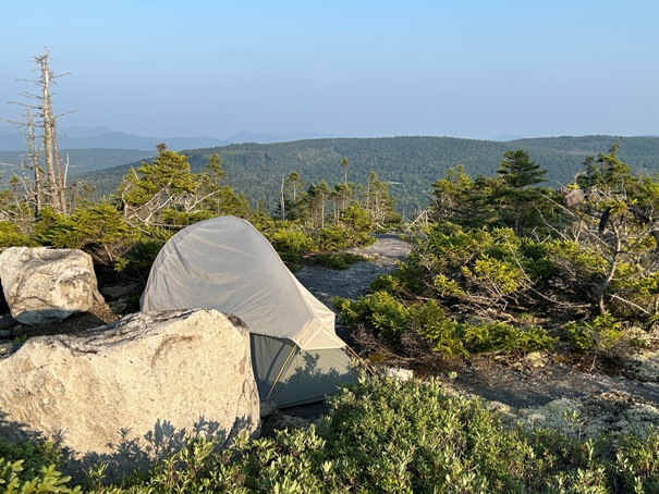
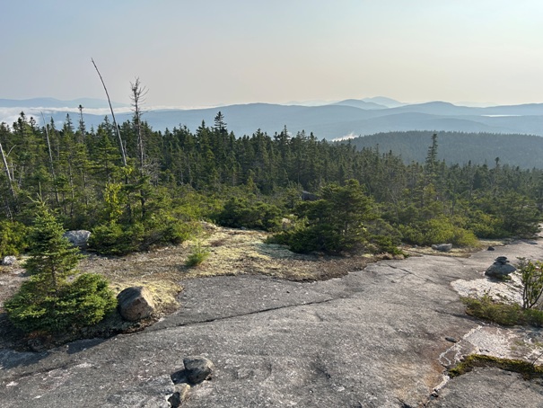
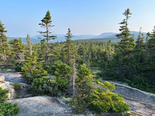
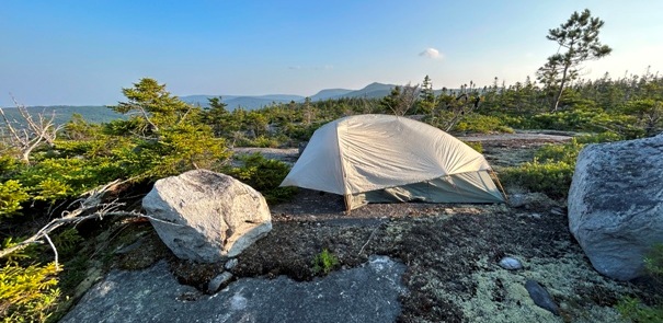
The Appalachian Trail traverses this long mountain reaching the summit area of both the main and north peak. For the main peak, there is a sign and a nearby spur that gets one to the actual summit. This peak is in the trees with no view. The north peak on the other hand has some open rock slabs with small alpine trees growing. The area is quite scenic and exploring away from the trail can find some excellent camping spots as long as you can set your tent on open rock slabs. The two peaks are about 3 miles apart with the shelter located midway between. If the weather is bad, the shelter area is forested and protected.
WillhiteWeb.com
Bemis Elevation: 3,579 feet
Bemis North Elevation: 2,914 feet
Bemis from Highway 17
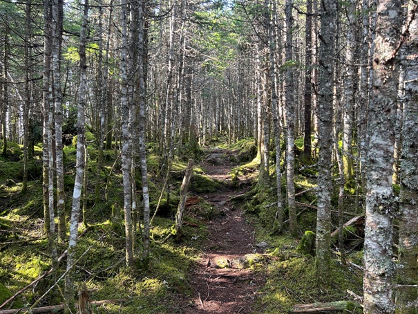
Trail up Bemis Mountain
Camping on Bemis Mountain North
The following night, I was camping on top of Saddleback Mountain.
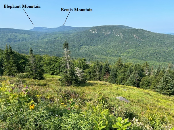
Elephant and Bemis Mountains from Beamis North
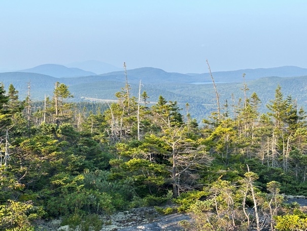
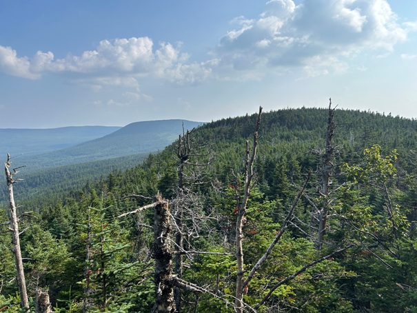
Looking south from camp
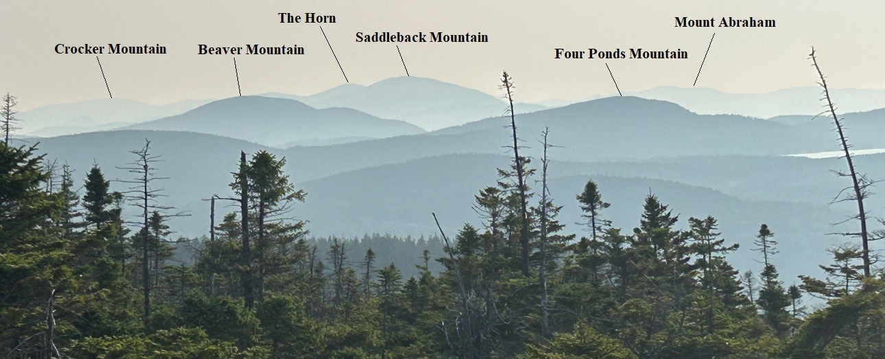
Looking toward Saddleback Mountain barely visible. Road cut of Highway 17 ahead.
Morning view toward Saddleback Mountain.
Morning view to the southeast
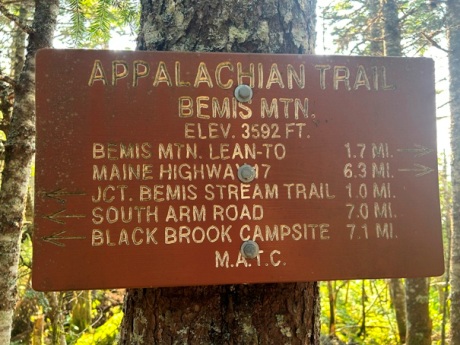
Sign on Bemis Mountain.
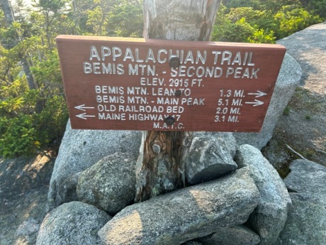
Sign on Bemis Mountain Second Peak


