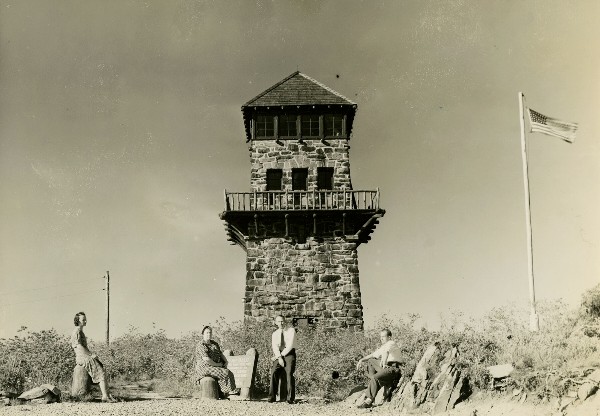
Wayah Bald Lookout
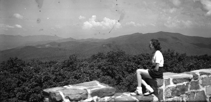
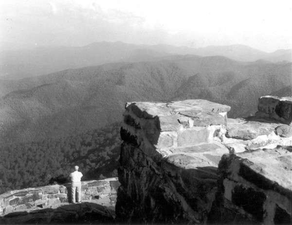
Located right along the Appalachian Trail is Wayah Bald, with views of the entire Nantahala National Forest and distant views to the Great Smoky, Unicoi, and Great Balsam mountain ranges.
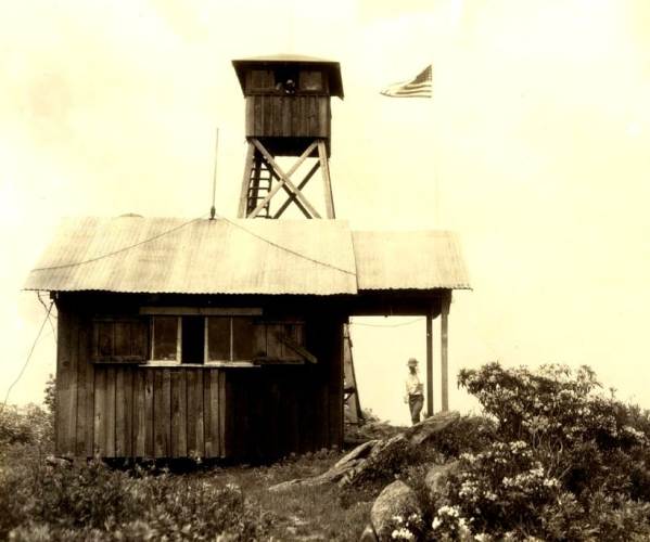
In 1926, there was a 25-foot wooden tower made of chestnut lumber and locust posts supporting a 12 x 12 foot observation cab. A frame shack was the living quarters.
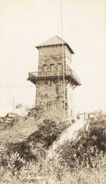
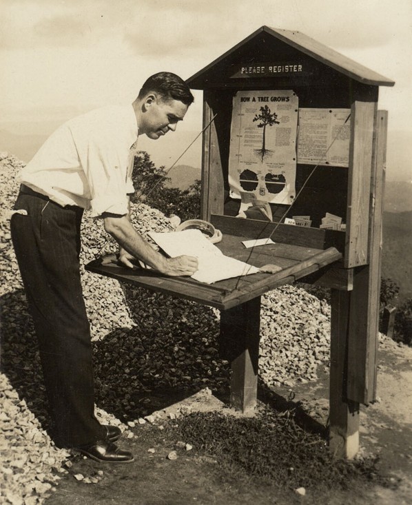
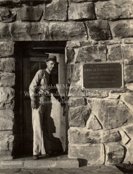
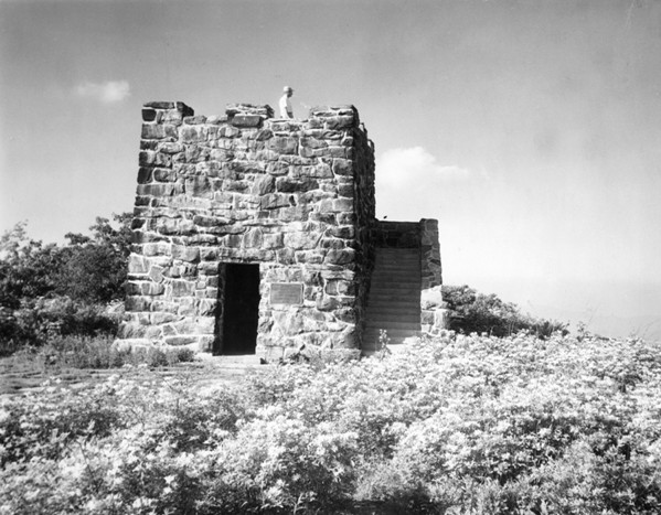
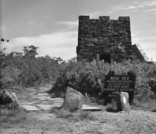
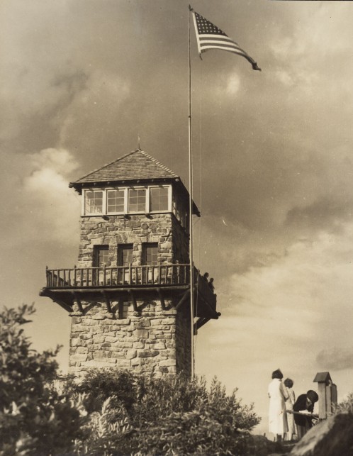
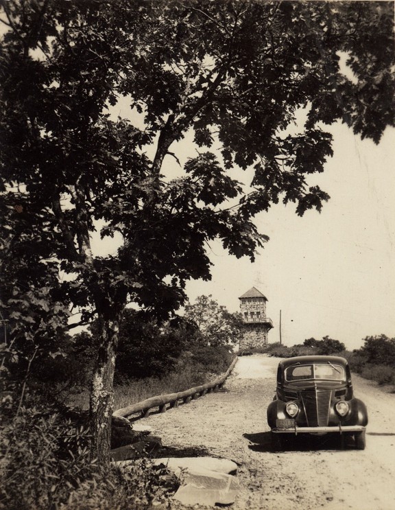
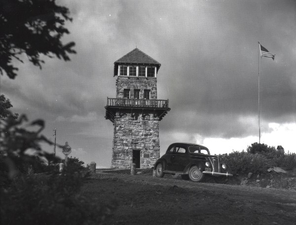
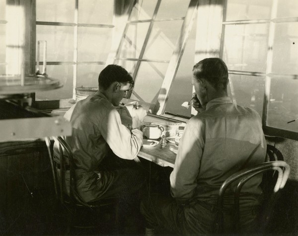
In 1936, the wooden tower was razed and the Civilian Conservation Corps (CCC) had begun work on a new elaborate lookout that would be 53 feet high made of native stones to harmonize with the surroundings. Plans were drawn by government engineers. It was three stories high, with a lobby and restrooms on the first floor. The second floor was an observatory for the public 24 feet above ground, accessed by an oak staircase. It was encased in 12 glass windows and surrounded by a balcony. The top floor was a fire observatory to be used by the warden only. It was equipped with instruments for finding the exact location of fires observed, and connected by telephone with headquarters in Franklin. There were two drop-down beds attached to the walls and a wood stove provided heat and a way to cook. A radio provided for the entertainment. The CCC Camp delivered food, water and mail once a week. The tower was 22 feet square at the base with five-foot concrete foundation blocks 12 inches thick. It tapered at the top to dimensions 16 feet square. Its weight was estimated at half a million pounds, and the foundation had been excavated to bed rock. The tower was accessible by car, just 15 miles west of Franklin. In 1937, the dedication by the Forest Service was in September giving it the name John B. Bryne Memorial Tower, a former Forest Supervisor of the Nantahala National Forest. More than 9,000 people signed the guest registration book in 1937.
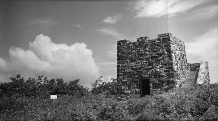
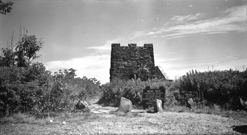
In 1945, faulty mortar led to its decommissioning. Hairline cracks developed in the quarry stone, allowing water to seep in and damage portions of the tower. In 1947, for safety reasons the USFS removed the upper levels of the structure for conversion to a public observation tower. Contractors poured a concrete slab on top.
In 1983, the Forest Service reconstructed the upper portion. Forest Service employees hired under the Older American Program replaced the old mortar. Wayah District personnel constructed a new roof made of hemlock beams and cedar shakes in an effort to replicate the original design and preserve the historical integrity of the tower.
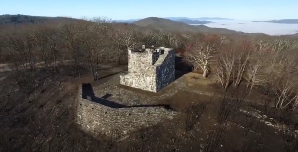
In 2016, the lookout structure was burned in the Camp Branch Fire, leaving only the stone base.
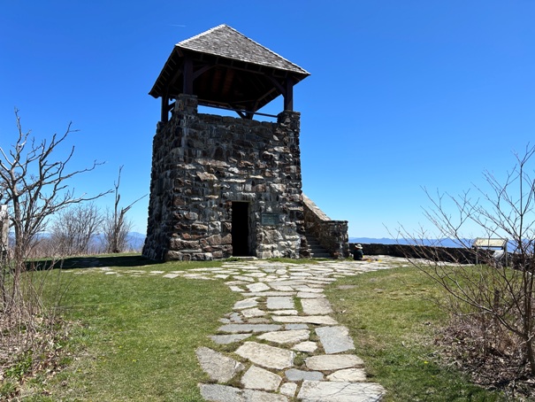
In 2018 the roof was rebuilt.
WillhiteWeb.com
Status: Standing Lookout
Elevation: 5,342 feet
Prominence: 142 feet
State: North Carolina
County: Macon
AT Access: Trail goes by tower
(John B. Bryne Memorial)
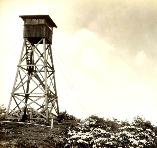
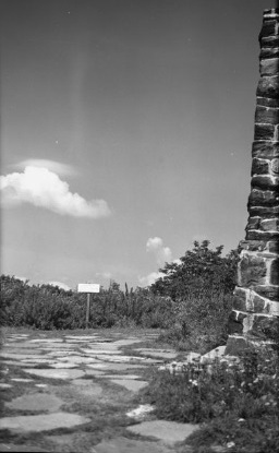
The original tower 1926 to 1936
The original tower and shack
Door in 1937
1937
Wayah Bald Lookout in 1941
Wayah Bald Lookout without the upper half
Signing the tourist register
Signing the tourist register
Dinner in the third level fire observatory room
Photo by Macon Quad
Just after the fire
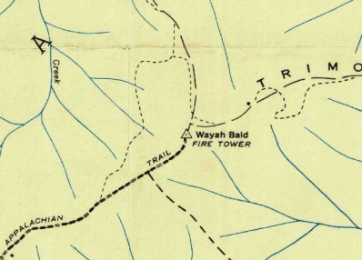
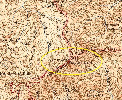
1935 map
1942 USGS map
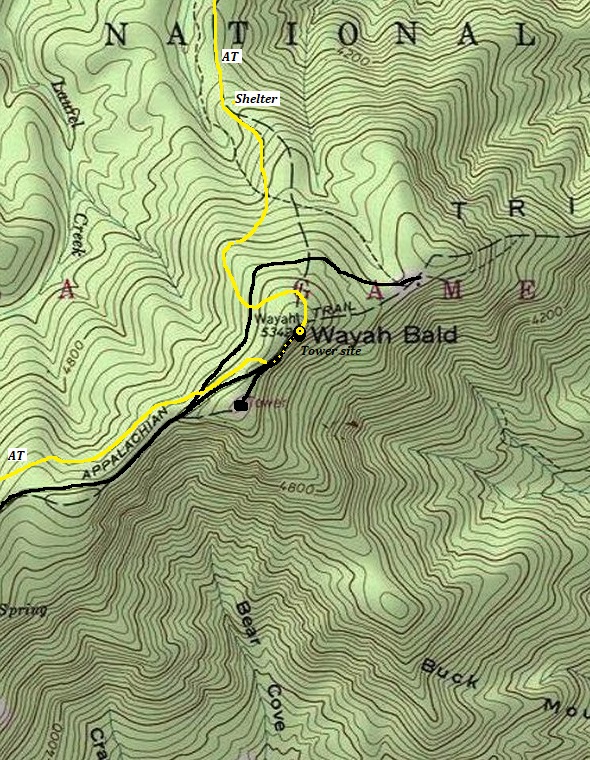
AT route passing by Wayah Bald
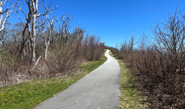
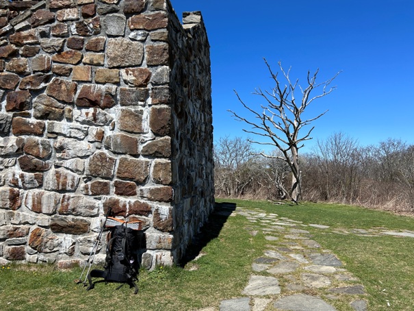
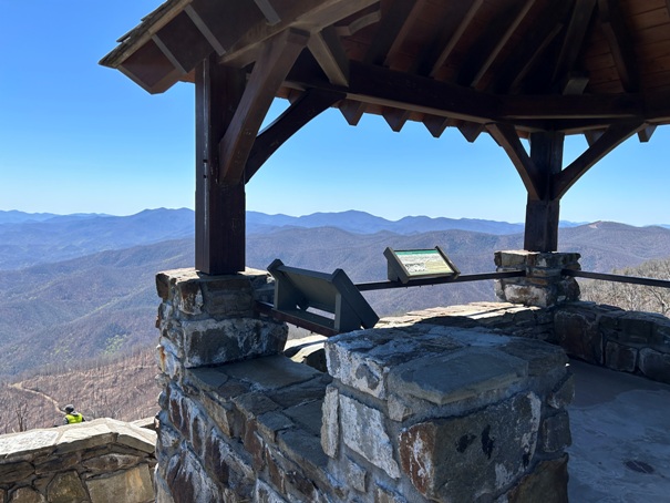


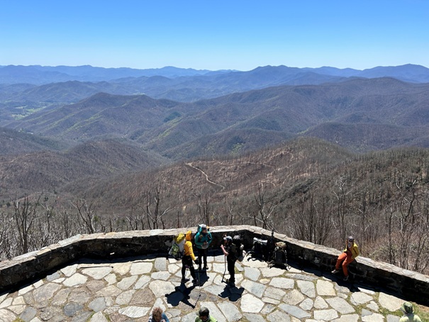
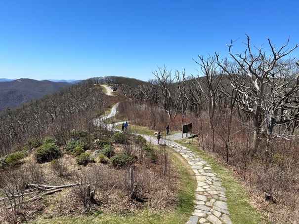
Walking up to Wayah Bald
Wayah Bald in 2024
Taking a break at Wayah Bald
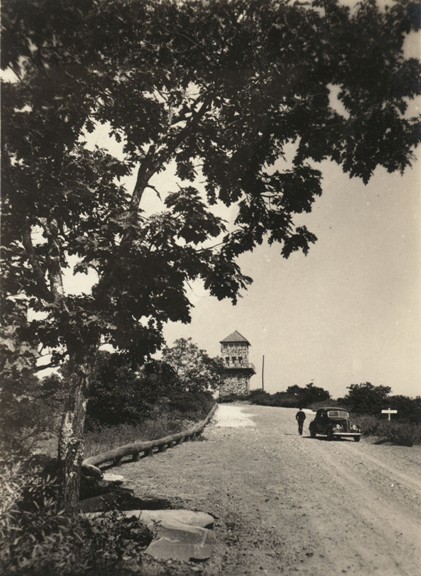
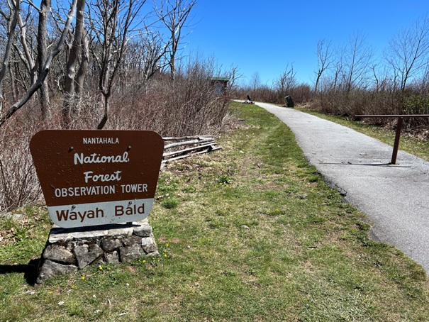
Path from the parking area
Walking up to Wayah Bald from parking area and AT junction.


