Pearisburg to Peters Mountain Meadows and Symms Gap Peak
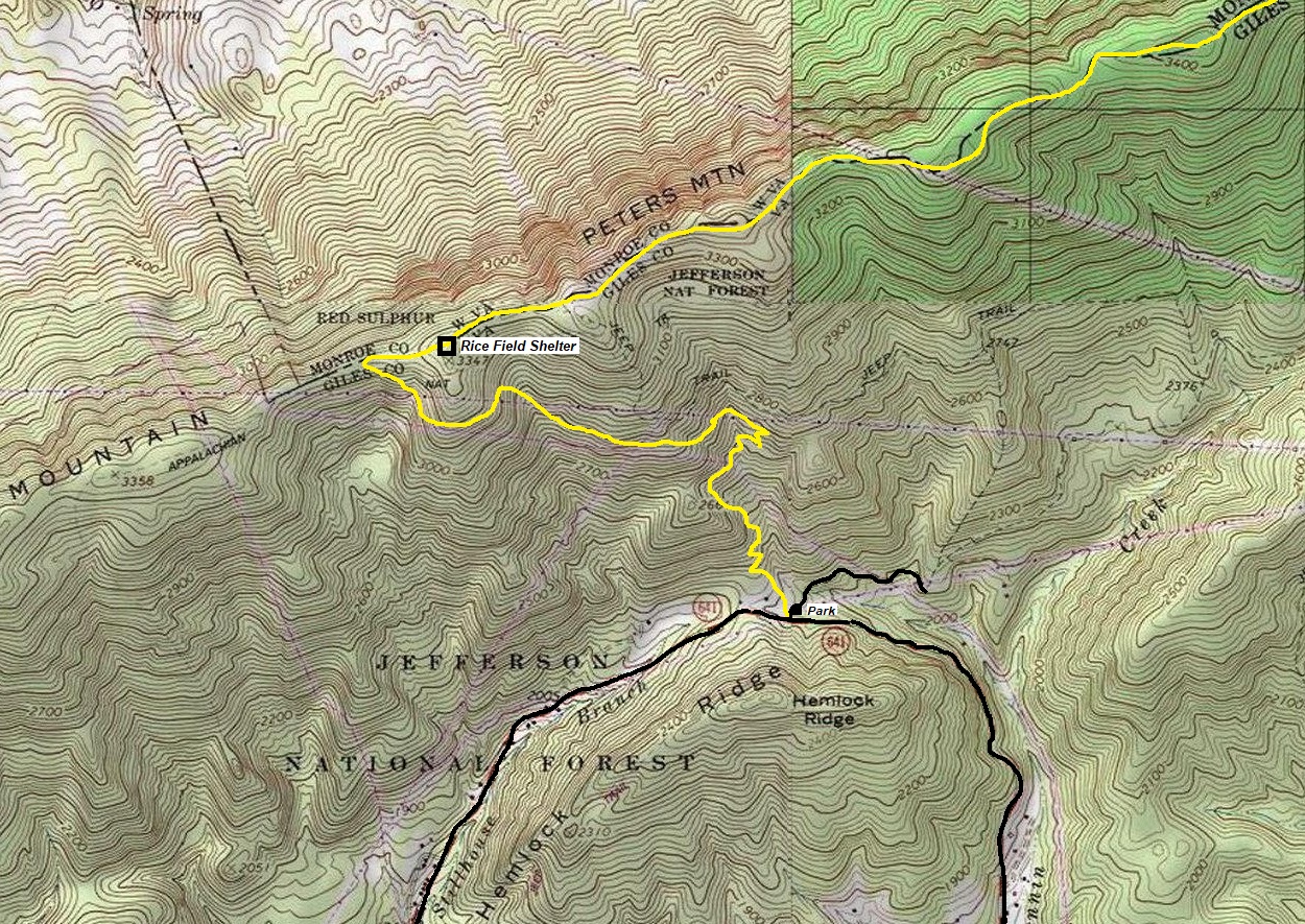
Find your way to the Rice Fields Trailhead near the junction of Clendennin Road and Pocahontas Road. There is some parking there. For a more sporting start to see what the AT is all about, start 5 miles earlier at VA 100 (Pearis Cemetery Parking Lot). Going this way from the valley bottom, you hike over the Anderson E. Shumate Memorial Bridge, pass the mega Celanese Corporation Plant, traverse around the smelly city dump, climb over Hemlock Ridge, before reaching the Rice Fields Trailhead.
WillhiteWeb.com
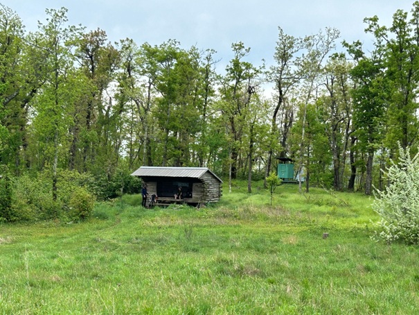
A good hike on the Appalachian Trail near Pearisburg is to go north climbing Peters Mountain. It is a nice forested hike that breaks out in 2.5 miles to spectacular views at the Rice Field Shelter. Here some camping would make for an amazing night. Continue on the ridge going up and down for another 5 miles to Wills Field for more views.
Access:
Hiking Distance: 2.5 to 7 miles one-way
Elevation Gain: 1,200 feet to Rice Fields Shelter



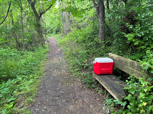


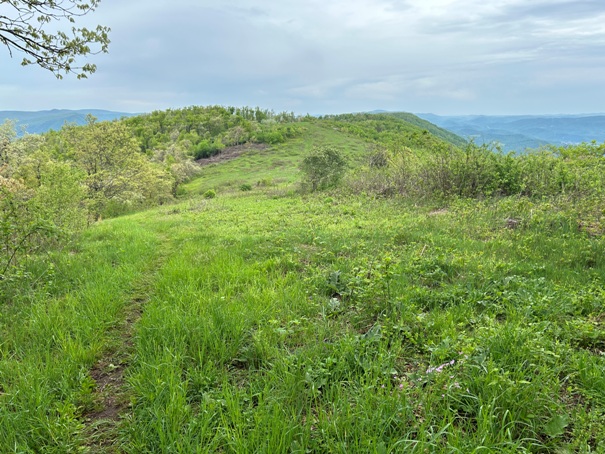
Pearis Cemetery Trail (AT) with some trail magic on the bench.
Celanese Corporation plant
Anderson E. Shumate Memorial Bridge
Rice Fields Shelter
Camping area at the Rice Fields Shelter
View north from Peters Mountain
Appalachian Trail going northbound from Rice Fields.
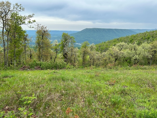
Views from Peters Mountain
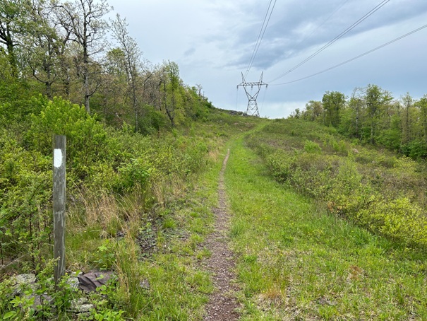
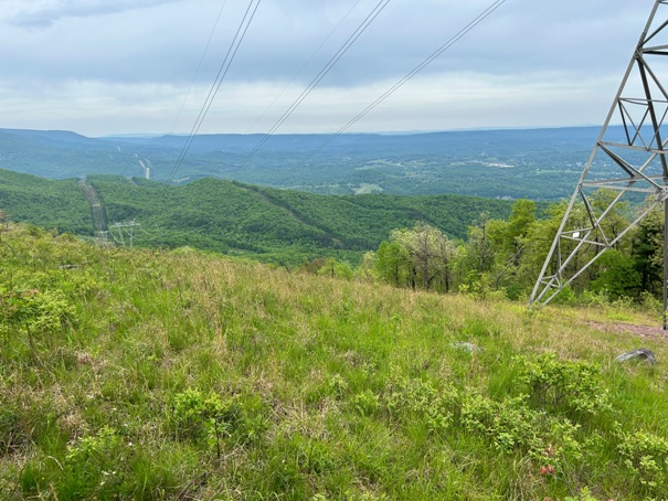
Trail on Peters Mountain along the powerline
Town below
Trail on Peters Mountain
Views from powerline crossings
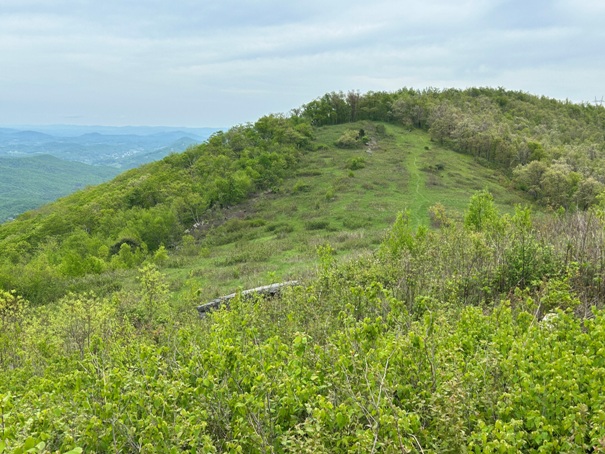
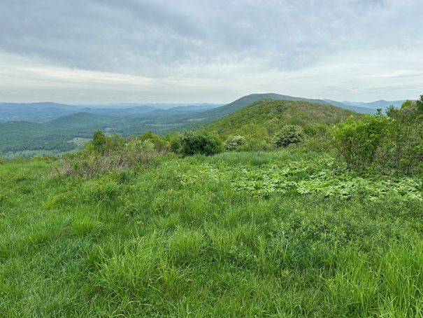
Some final views on Peters Mountain before dropping down to Symms Gap
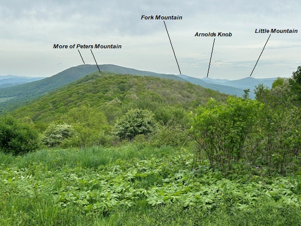
View NE from Symms Gap Peak


