Black Mountain Lookout Site
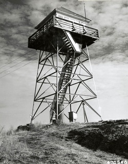
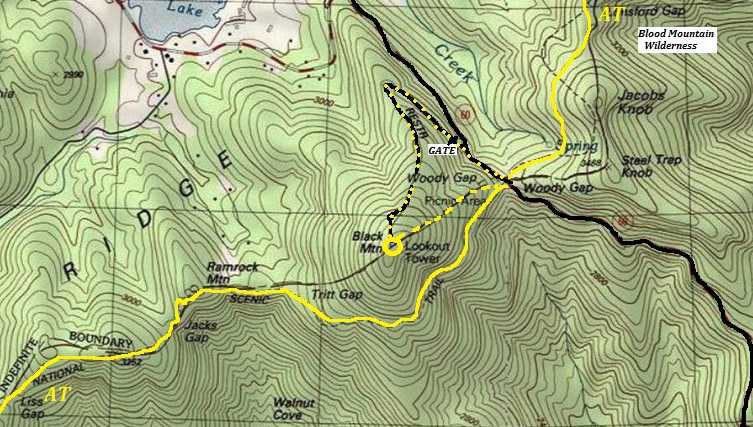
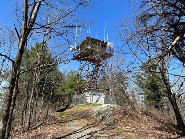
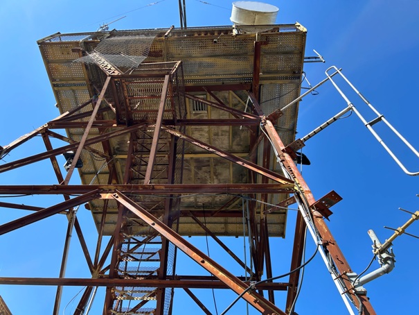
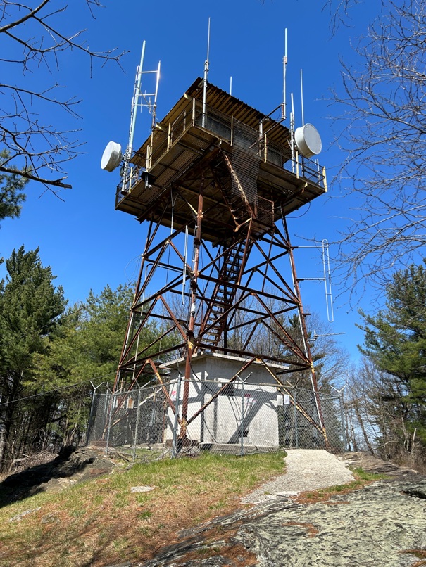
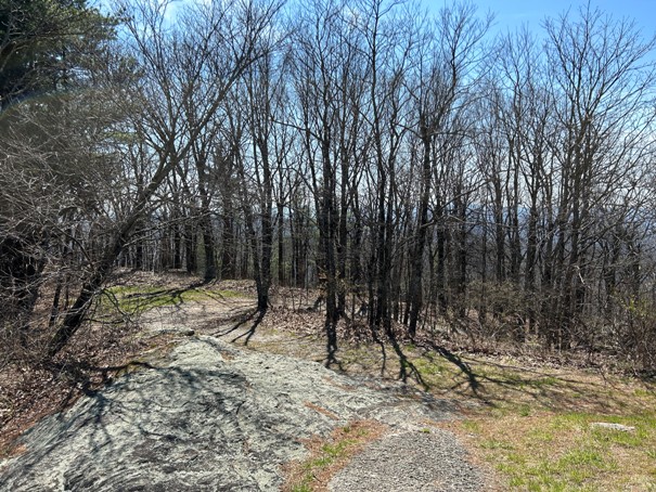
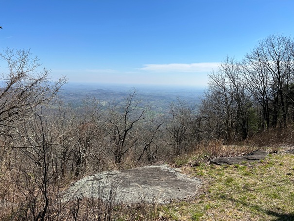
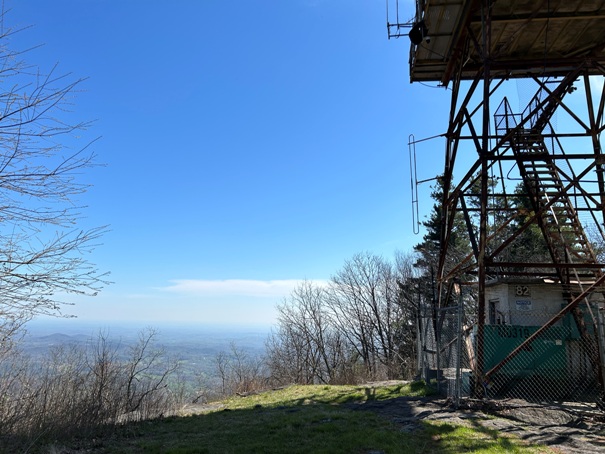
Black Mountain rises to the southwest over Woody Gap and Georgia Highway 60. An unmarked trail from Woody Gap Picnic area climbs up but may overgrow. Taking the access road is easiest. At one time, the Appalachian Trail did go over the summit. The summit is the 38t highest peak in Georgia, and provides great views from the bald summit rock. The fire lookout tower is locked and surrounded by a six-foot barbed wire fence. The tower currently houses emergency communication equipment for Lumpkin and Union county, Camp F.D. Merrill, Blue Ridge EMC, Civil Air Patrol, US Forest Service, and Amateur Radio. A paper sign on the fence said the lookout was built in 1949 by the Civilian Conservation Corps (CCC). The name Black Mountain is on numerous maps back to 1886, but the fire lookout first appears on a 1938 map.
In 1935, a Coast and Geodetic Survey Team used this lookout as an azimuth mark while on Blood Mountain. They called this Woody Knob Lookout Tower and they used the finial (the roof apex) for their azimuth measurements. Although it is Black Mountain, it is very likely that it was also known as Woody Knob Lookout given the local history with Ranger Arthur Woody. On May 1, 1915 he was sworn in as a forest guard with the assignment of protection of forestry lands from fire, trespassers and poachers. In 1918 he became the first official Forest Ranger of Georgia, and among the first in the nation. He was raised and lived at the base of the mountain and he was likely very involved with the tower that existed on this mountain. He was also in charge of deciding many CCC projects in the early 1930s. By his request, he was laid to rest in the church cemetery facing Black Mountain, so that on the resurrection morning he could rise up and see if his forests had been properly preserved. He was instrumental in building the Appalachian Trail through Georgia.
Sign on fence: Vandals became a real problem, and it took security cameras and a few citations issued from the Forest Service. The cameras alert several agencies for observation, and they record audio and video.
WillhiteWeb.com
Status: Standing Lookout
Elevation: 3,720 feet
Prominence: 560 feet
State: Georgia
County: Union and Lumpkin
AT Access: 0.4 mile detour with 400 feet of gain
If you have more information about this site, please contact me.
Black Mountain shown on the 1935 USGS map
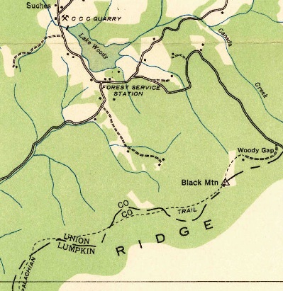
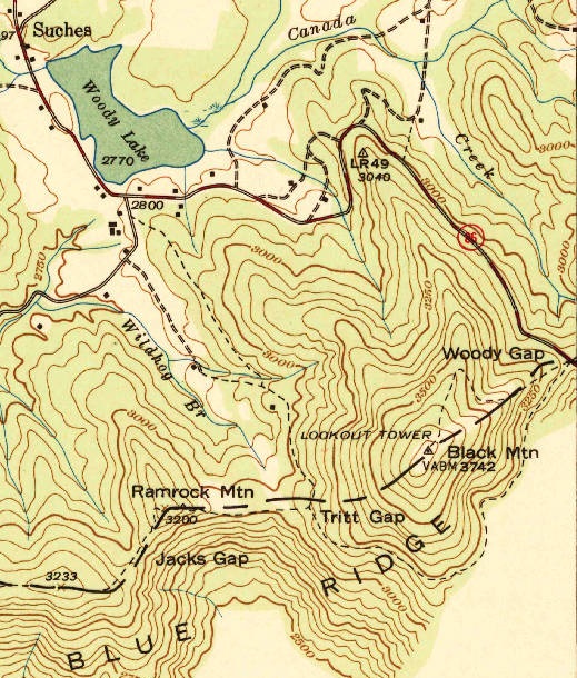

Black Mountain Lookout Tower shown on the 1938 USGS map
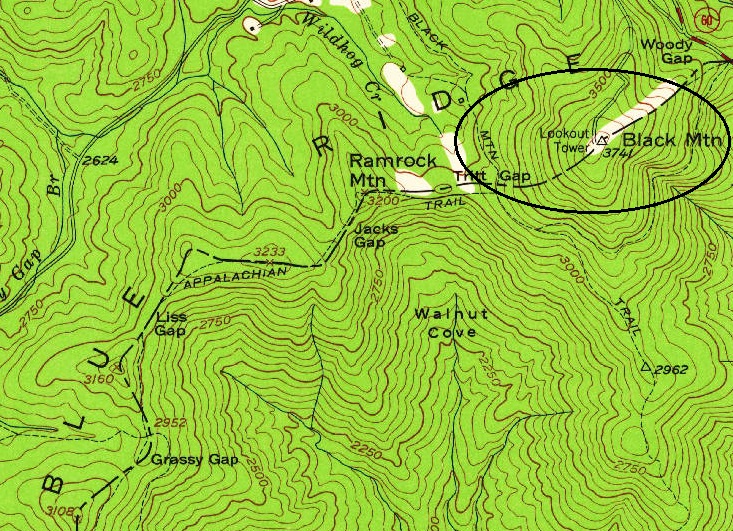
Black Mountain Lookout Tower shown on the 1950/1961 USGS map
1952
Ranger Arthur Woody
AT route as it passes below Black Mountain
Access
I left the Appalachian Trail at the prominent south ridge and bushwhacked to the summit. A newly constructed bootleg trail went some of the way with Forest Service signs threatening whoever was building it to cease. I descended the mountain via the access road which comes out near Woody Gap. I did not notice the apparent NE ridge trail directly down to Woody Gap.
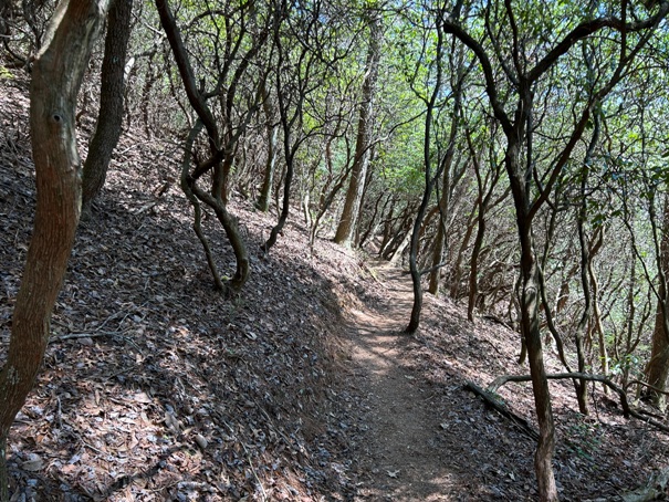

The AT traversing the peak below summit
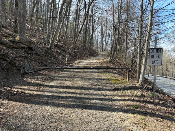
Gate and road to the summit from the pavement
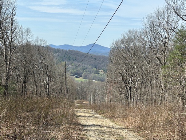
Walking down the road
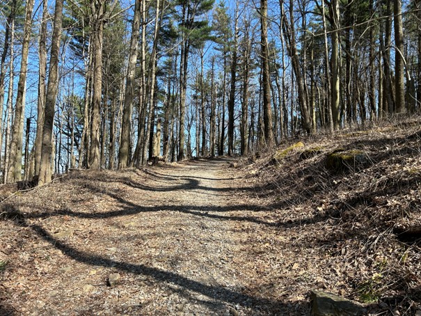
Access road


