Pico Peak Lookout
WillhiteWeb.com
Status: Former Lookout
Elevation: 3,957 feet
Prom: 577 feet
State: Vermont
County: Rutland
AT Access: About a 1-mile side trail and road with 450 foot gain
Lookout History
In 1914, Pico was added as a lookout point. Mr. Mortimer R. Proctor paid for the construction of a tower, cabin and telephone line. They said the mountain commanded an extensive view to the north and was of great value as a lookout for the patrolman on this section of the Long Trail.
In 1925, the 20-foot fire observation tower had been condemned as unsafe and was being dismantled. It was replaced by a 35-foot tower, another gift of Mortimer R, Proctor of Proctor. The tower was for the use of the fire warden and Long Trail hikers. It was equipped with a large map under glass and a finder to aid hikers in locating the various mountains, lakes and towns within their range of vision.
In 1928, the observer during high danger times was Earl Holmes.
In 1932, there was considerable vandalism at the camp during the winter and spring.
Nearly all of the glass in the windows at the top of the tower were deliberately smashed as was a window in the warden's building. Food belonging to the warden, Dana Rowe, was stolen and a waterproof cover of a forestry map was taken. A revolver was also stolen.
In 1934, a new telephone line was completed through the woods from the Sherbourne highway to the fire lookout tower. A camp was being built on the mountain top for the use of the watchman, Dana Rowe. The grounds around the tower were also being cleared and fireplaces and tables built for the use of the public. The steel tower was repaired and painted. This work was carried on by a crew of eight men from Shrewsberry CCC camp, under Foreman OBrien.
In 1935, the fire warden at the tower was Dana Rowe.
In 1938, work done was painting camp, tower, and public shelter, clearing the area around camp of stumps and debris, and installing new cable base eyebolts on tower guys.
In 1939, the fire warden was Clark Prior, who described the fire hazard situation as very bad and said vigilance is being maintained at the lookout during every minute of daylight.
In 1948, one-half mile of telephone line was relocated to by-pass a ski trail. One-half mile of new copperweld wire was installed to replace iron wire. The tower stairs and cab were painted, as was the inside of cabin.
In 1949, a new cook stove was installed, and the roof cabin was tarred.
In 1950, the tower was condemned as unsafe for a fire observatory and the wood structure on top of Pico Peak was dismantled and replaced by a new steel tower. The old structure was 20 feet in height, while the new one was 35 feet.
In 1952, new extra heavy sash was installed in tower to replace those damaged by a 1950 hurricane. A tower ground system was installed and bonded to the State Police and Central Vermont Public Service Corporation Radio system.
In 1954, the telephones were converted to dial and one thousand yards of telephone line was relocated along the trail for easier maintenance. The right-of-way was sprayed with brush killer. Enlargement and remodeling of the lookout cabin was started. An experimental optical fire finder was installed in the tower.
In 1955, the enlargement of the lookout cabin was completed.
In 1956, a newspaper article claimed that the only woman fire lookout east of the Mississippi River welcomed few visitors to her cabin atop Pico Peak. A visit to Miss Caroline Parmenter calls for a drive or hike on a road running 2,176 feet up the mountain. From that point, a hike of more than one hour is required to reach the summit. In addition to fire watching, Miss Parmenter serves as a member of the Ground Observer Corps, maintains the trail leading to the peak, keeps telephone lines in repair, chops wood and keeps her cabin ship-shape. One recent chore involved hauling, by hand, sections of lumber for a new cabin floor about 1,800-feet up the mountainside. A trained nurse, Miss Parmenter has been with the Vermont Forest Service since 1953.
In 1958, the cabin was reroofed with aluminum, a storage shed was completed, and a new floor was built in the tower cab.
In 1963, due to the difficulty in renewing the States lease on Pico it was decided to move the tower to the summit of Killington, which is state-owned. After fifty years of use it was still in good condition as to justify its disassembly and re-erection on the new site on Killington. It seemed the Department of Forests and Parks tried to collect the moving fees since moving over to Killington allowed the space needed for the state police radio equipment.
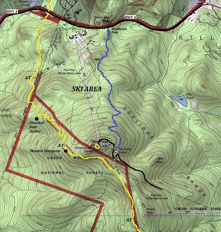
This is the last mountain that the Long Trail and the Appalachian Trail jointly share together. After descending the mountain, the Long Trail continues North to Canada while the AT goes East toward New Hampshire. This mountain has a Pico Mountain Ski Resort on the north side but the Appalachian Trail was re-routed to the south and west sides in 1999 to avoid going through the resort. Prior to that, the trail was on the east side and the first part of the detour to summit (Sherburne Pass Trail) is the former AT route. Hopefully that makes one feel better since the detour to the summit is a significant time and effort delay from the AT.
(Sherburne Lookout)



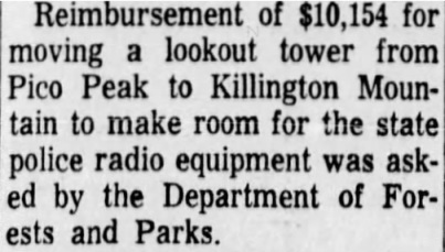


1950 advertisment to sell book
Tower move
Showing the Appalachian Trail (in yellow) as it passess by Pico Peak. Blue is the old AT route.
1893 map with a 1946 update
A 1893 map with a 1921 update showing the trail to the summit. Trail was not there on the 1812 updated map.
View to Killington Peak
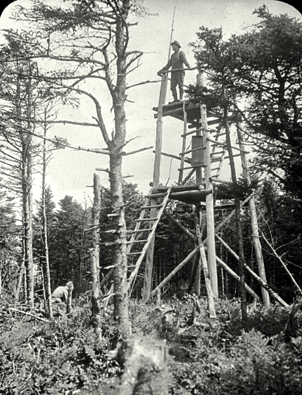
First Pico Peak Lookout, August 1921
My Visit:
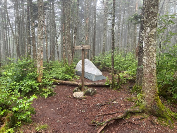
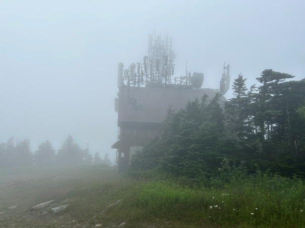
This was a tough detour to make since the weather was not good. I had some hope that the clouds would clear out by the time I summated but they never did. At the split where the spur trail leaves the AT, I set up my tent in order to ditch my gear and go light. There is room for one tent at this turn off. Following the old AT went quickly until I hit an access road to the summit. I then just followed the road up to the top. There was also an easy to miss shortcut trail up the road a bit that cut off some of the road walking.


Pictures from the Internet during a better day
Looking for the highpoint
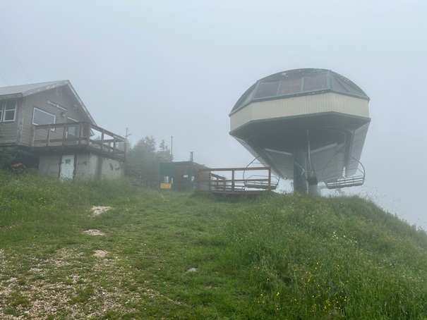
Arriving at the ski lift
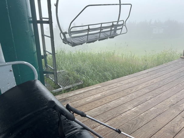
Just enjoying a soft seat instead of a rock or log.
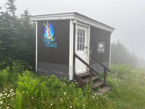
This building was open for hikers to take refuge.
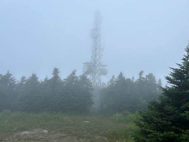
Arriving at the top
Set up my tent here at the trail junction in order to just stash my gear and keep it dry.


