Pearis Mountain and Angels Rest
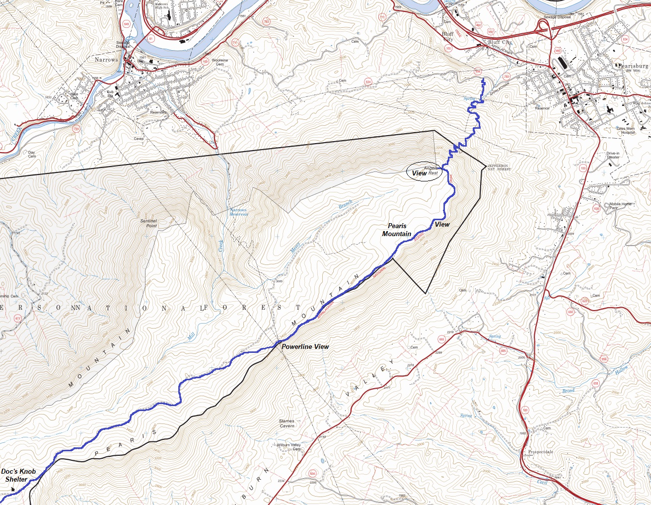
Hiking Distance: 2.5 miles one-way to Angels Rest
Elevation Gain: 1,709 feet to Angels Rest
WillhiteWeb.com
The closest hike to the town of Pearistown is hiking the Appalachian Trail south to Angels Rest. You could even continue hiking by continuing the long ridge of Pearis Mountain with its few viewpoints. If you are hiking north on the Appalachian Trail, dropping down into Pearistown is exciting because just a simple 0.8 mile walk on Cross Ave. will put you at a Dairy Queen and grocery re-supply. Just be aware the two hotels in town are the two of the worst on the AT.
Access:
Behind the Dairy Queen in town, take Johnston Avenue, then Morris Ave to Cross Ave. Follow Cross Ave. to the trailhead. About 0.8 miles total from Dairy Queen.






Appalachian Trail climbing up to Angels Rest
Arriving at Angels Rest
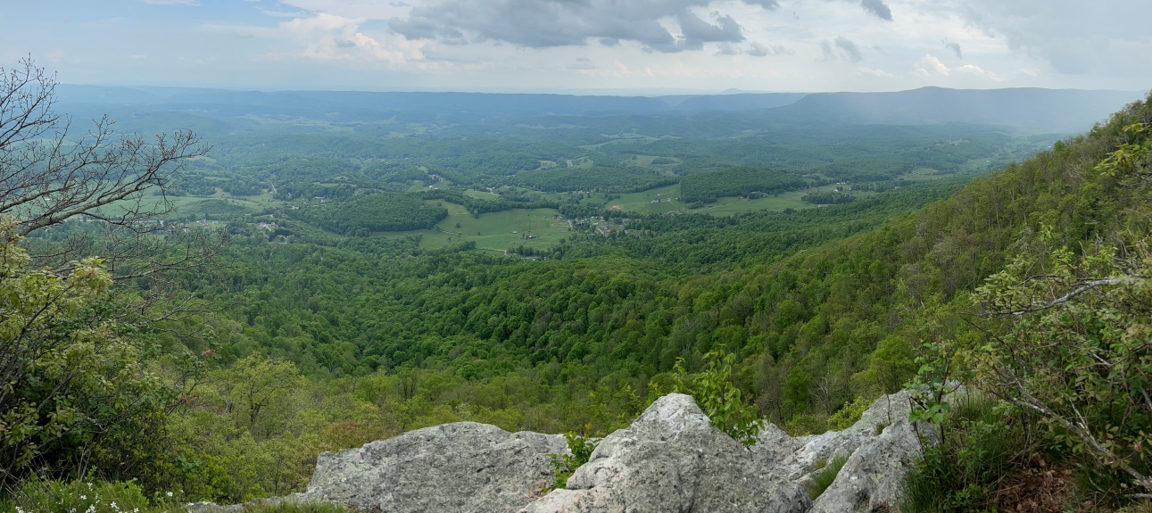
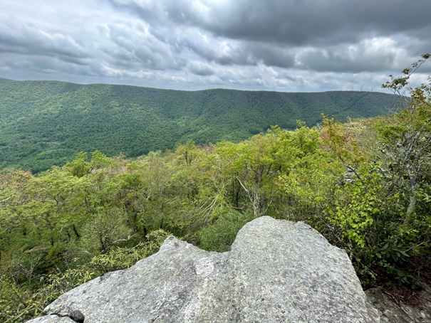
View from Angels Rest
Celanese Corporation Plant
View from Angels Rest
Pearis Mountain viewpoint a bit south of Angels Rest
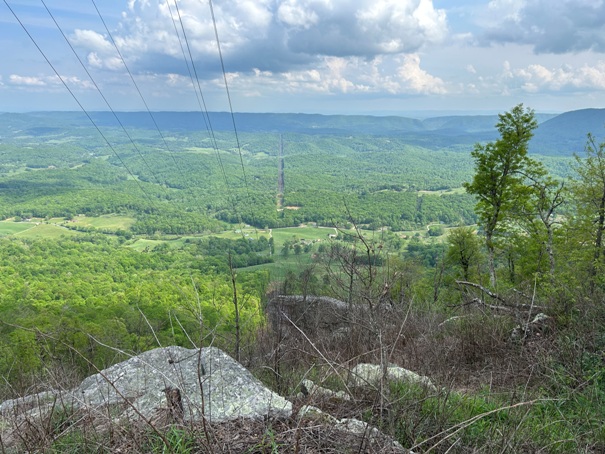
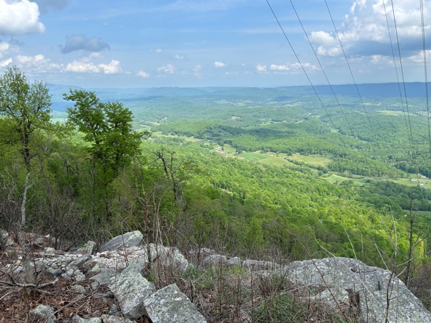
Powerline viewpoint along Pearis Mountain
Viewpoint at the southern end of Pearis Mountain
Viewpoint at the southern end of Pearis Mountain
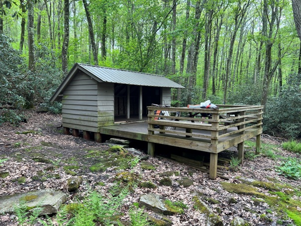
Docs Knob Shelter
Viewpoint


