Sages Ravine and Mt. Race
Mt. Race Elevation: 2,361 feet
WillhiteWeb.com
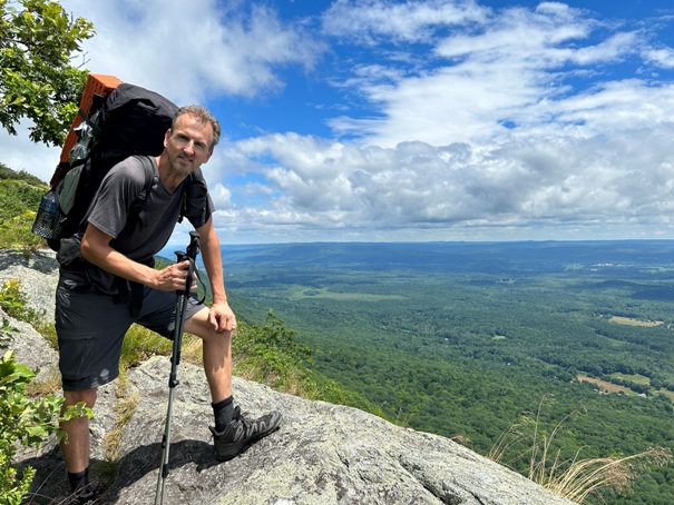
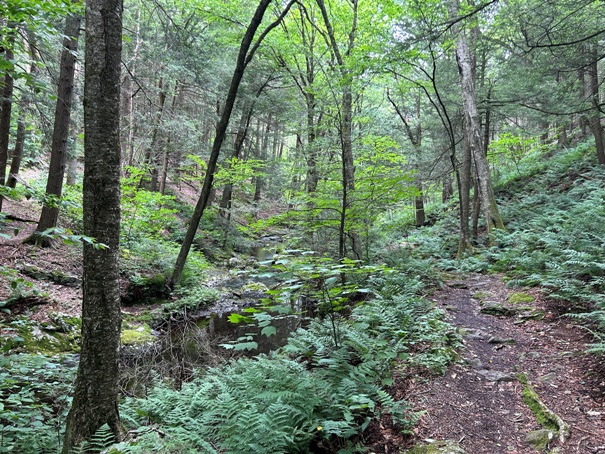
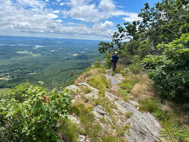
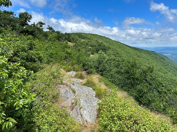
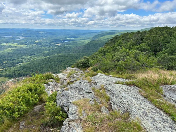
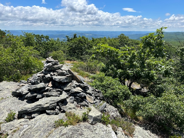
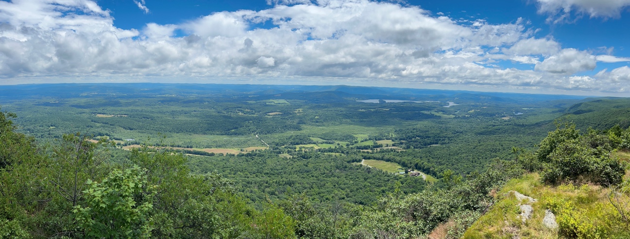
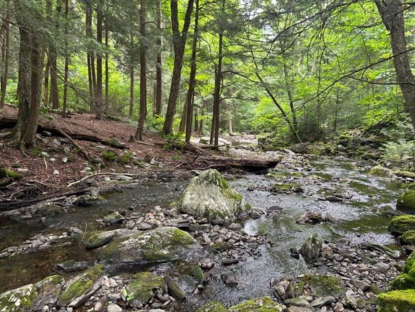
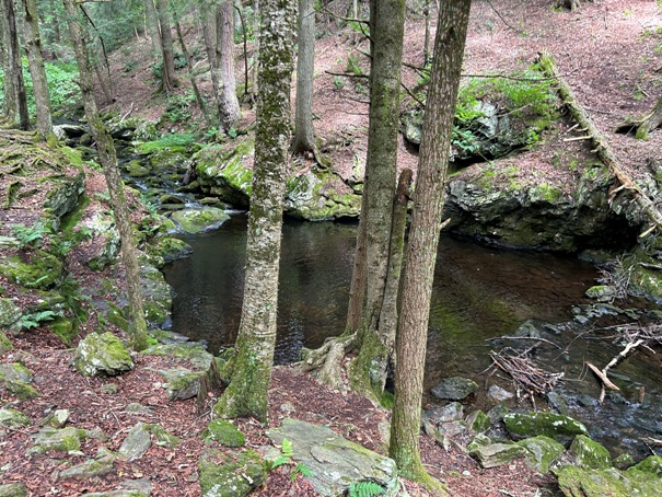
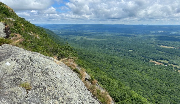
As soon as you reach Massachusetts on the Appalachian Trail, the trail goes into Sages Ravine. This is about a mile of trail that walks alongside Sawmill Brook through a beautiful, old growth hemlock forest. The brook has numerous small cascades and large pools of water. Sages Ravine is very popular with day hikers and backpackers. The easy ravine trail soon ends and the trail starts its climb up Mount Race, the first mountain in Massachusetts on the AT. As you get near the summit, the Mount Race Ledges open up and for a good quarter mile, the trail has excellent views. The summit of Mount Race is mostly rocky and somewhat tree covered. Views from the summit include a close view of Mount Everett to the north and the valley of Twin Lakes to the southeast. Mount Frissell and Alander Mountain to the west form a close ridge, but beyond them you can see the Catskills. On a clear day, you can even see Mount Greylock to the north, at the far northern end of the state.
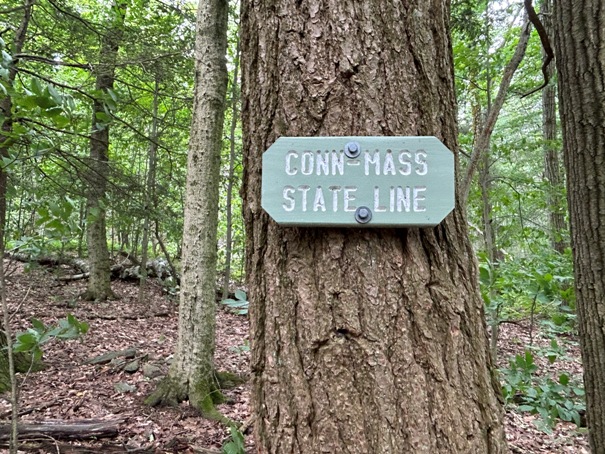
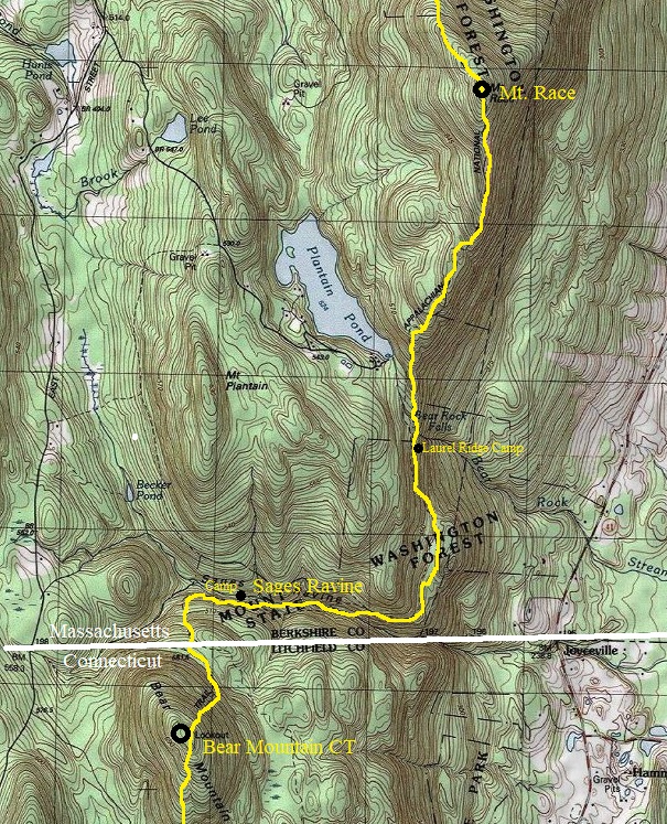
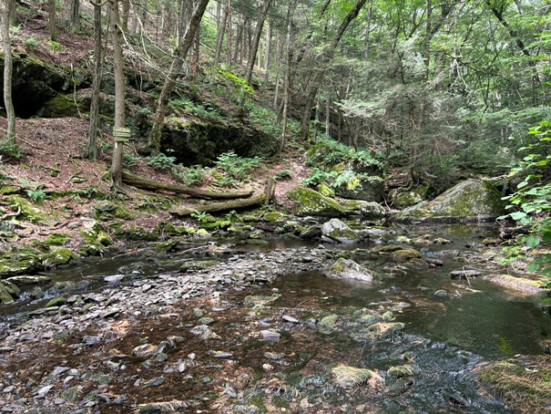
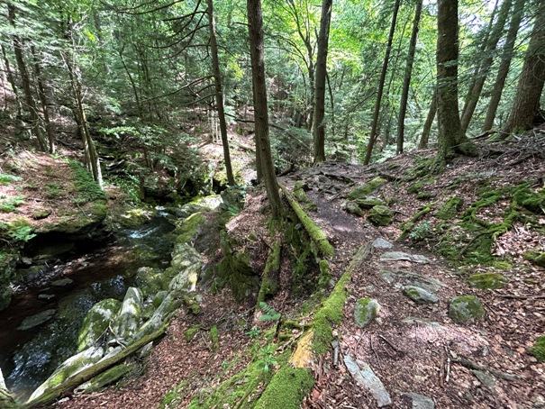
Appalachian Trail as it crosses from Connecticut into Massachusetts.
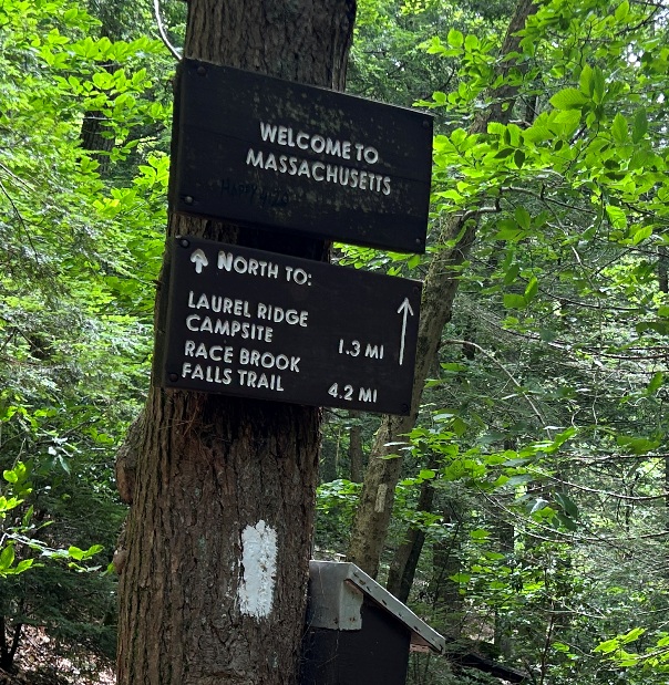
Trail sign near the end of Sages Ravine.
Mount Race from the ledges.
Summit of Mount Race
Mount Race Ledges
Panorama from the Mount Race Ledges
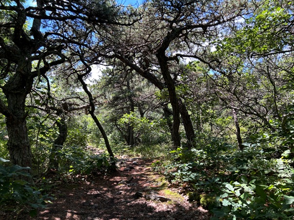
Trees near the summit of Mount Race
AT hiker on the Mt. Race Ledges
On the Mt. Race Ledges


