WillhiteWeb.com
Mount Katahdin, Maine
Summit Elevation: 5,267 feet
Hiking Distance: 4 miles
Prominence: 4,287 feet
Access: Paved road, seasonal access
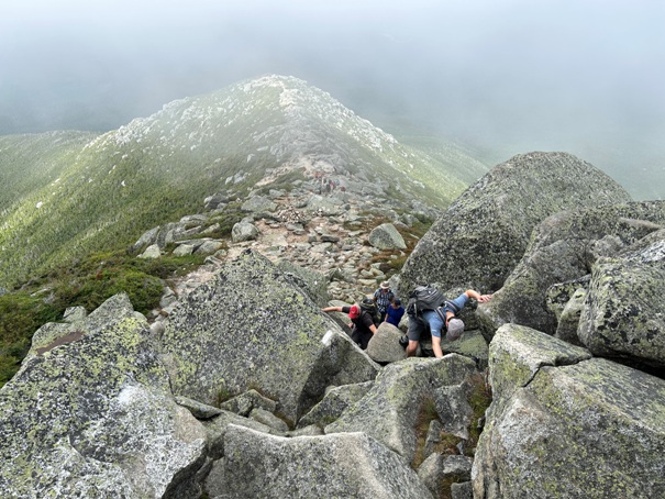
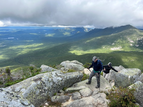
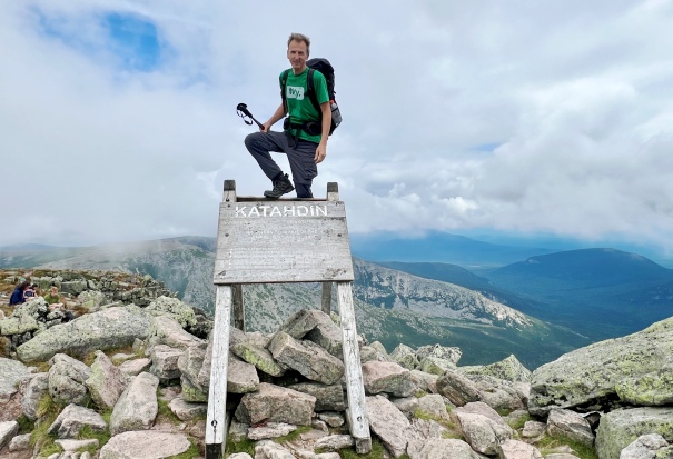
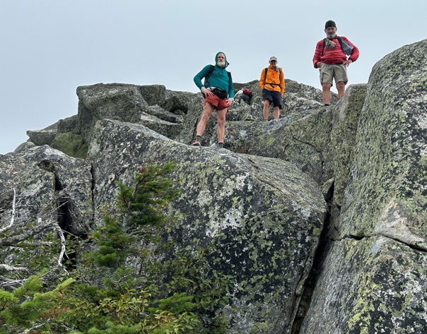
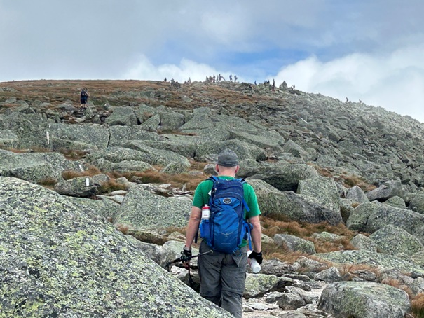
Thru Hikers: Nails, Spidy and DogBone on their way down. I met them first in Pennsylvania, then during the last week in Maine, we were passing one another each day.
Mount Katahdin is beloved by the residents of Maine. It rises all alone among the generally flat, lake filled forested landscape of North Maine. As the summit is the north end of the Appalachian Trail, the peak is coveted by AT hikers for 2,200 miles during their journey. The mountain hike as well as the access is challenging. Located in Baxter State Park, you will find the rules and management of the park is unlike anything you have ever encountered. Visitors are low priority as the park is managed as wilderness as required by a former governor, Percival Baxter who donated the land to the state. Reservations during the summer must be made in advance or you will likely not get in. There are many other rules so check them out before visiting; they often change year to year. There is even a board of directors for the park that even has to vote each year whether to allow people in the park! The experience of the hike up will depend on the route you take. Most routes have at least some exposed areas that people afraid of heights dislike, but for most hikers, all is good. The peak is the largest area in the state above treeline and the alpine environment has put many hikers lives in jeopardy. The park restricts hikers up the mountain from around the end of October to early July. This is both for environmental reasons and safety reasons. In mid winter, snowshoeing up is possible at times (again, check the rules).
Route:
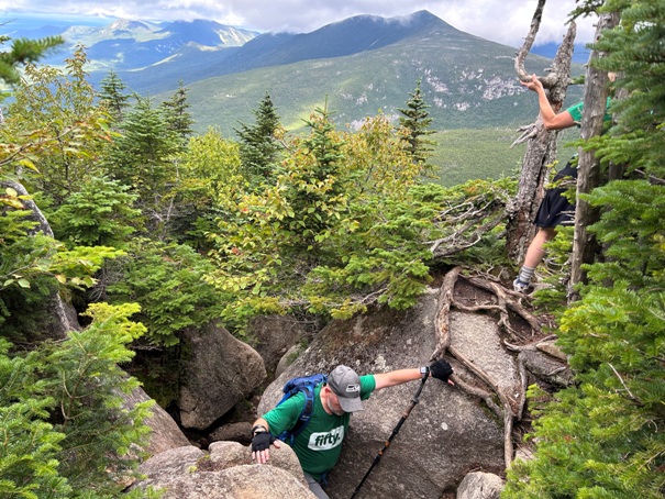
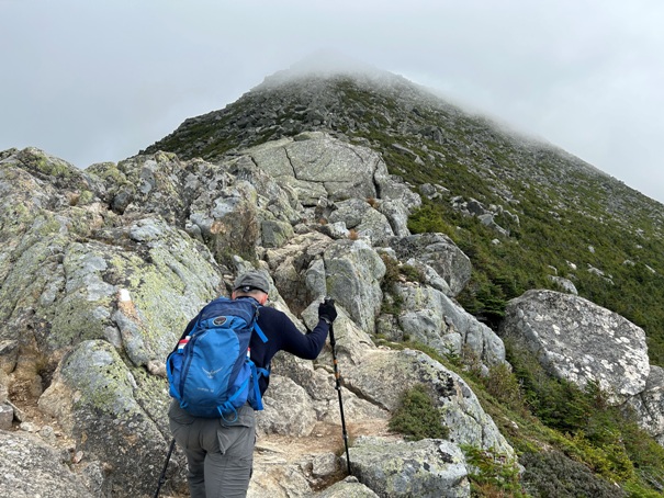
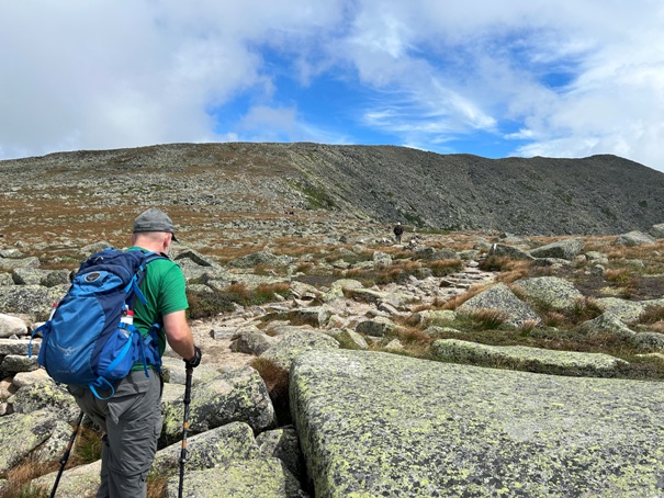
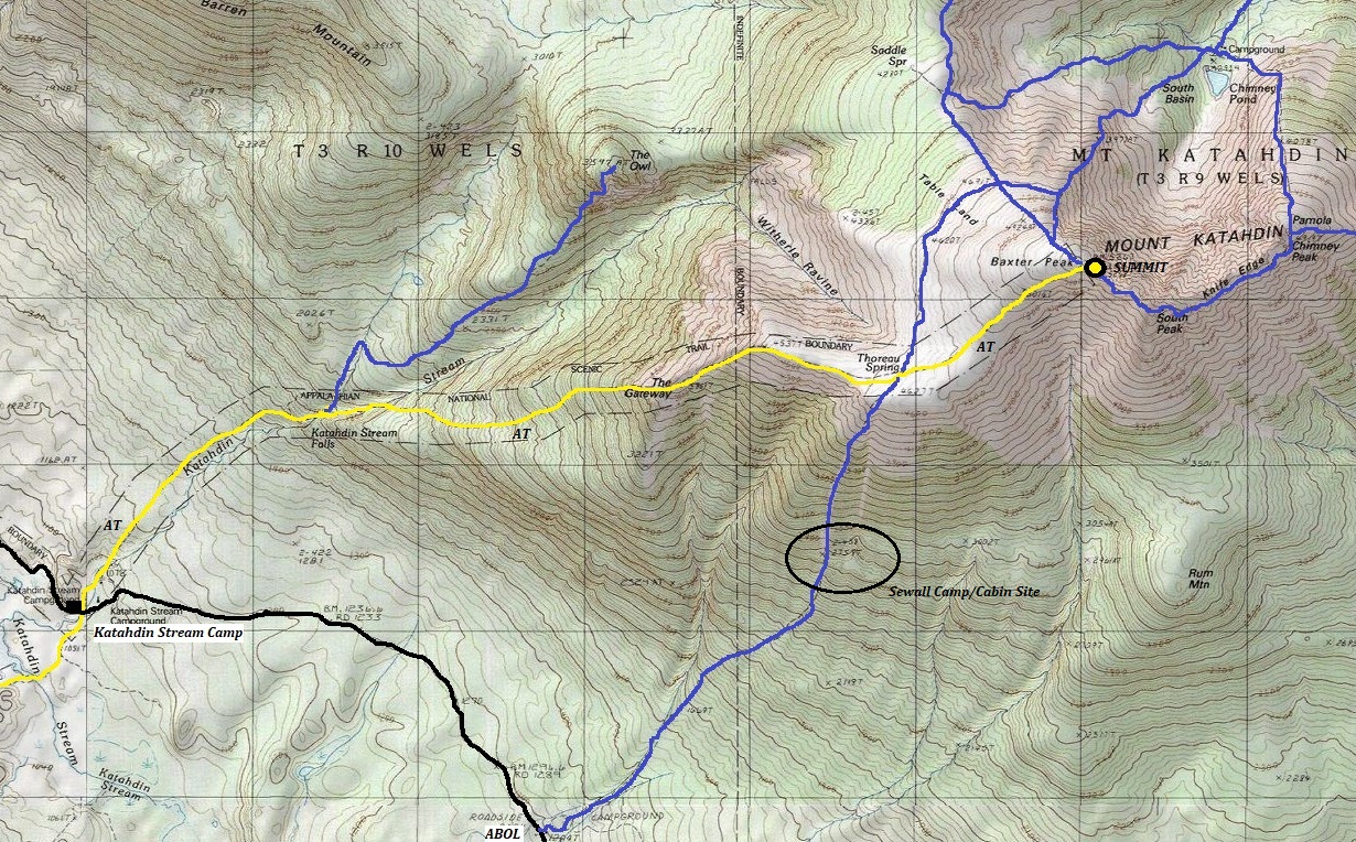
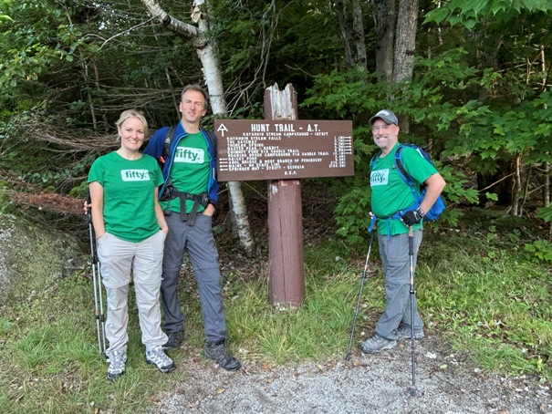
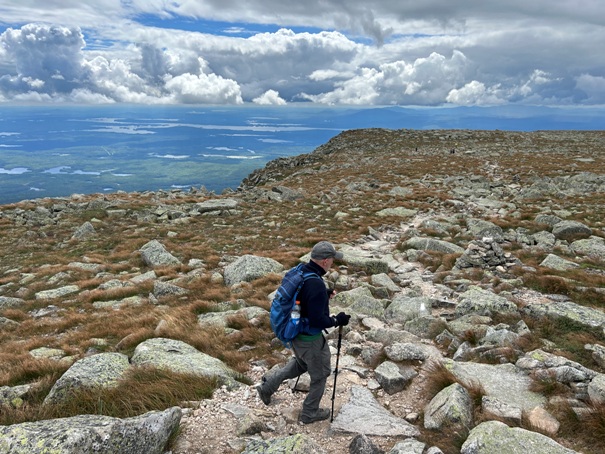
The images on this page are from the Hunt Trail up from Katahdin Stream Campground. The Hunt Trail is the Appalachian Trail and I hiked the entire trail in 2024 in order to reach Katahdin, my last state of my 50 state summit quest. I also reached Katahdin, my 50th state summit on my 50th birthday. Our route of decent was by the Abol Trail allowing for a loop trip. The Abol trail drops down a steep rock slide area and was the main route up the mountain for many years.
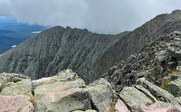
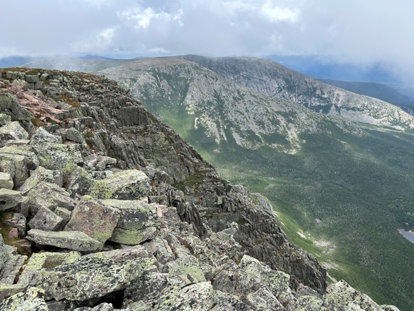
Knife Edge Ridge
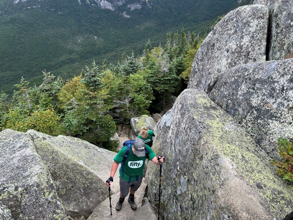
Almost to the top
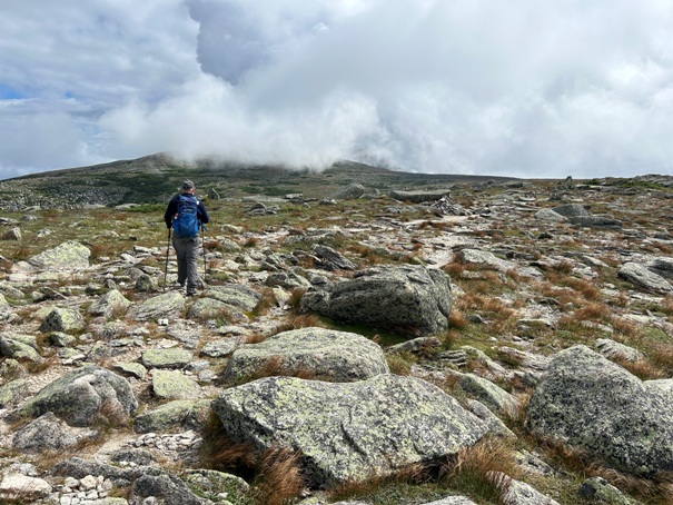
Easy terrain near the summit
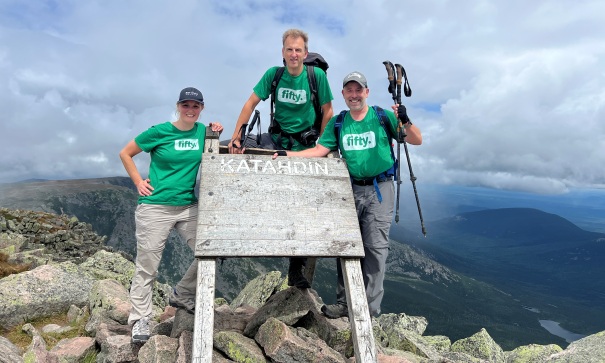
Rachelle, Eric, Jake
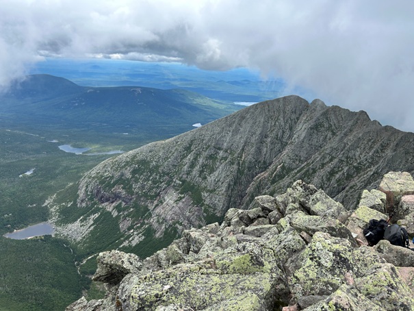
North view
Hunt Trail Trailhead
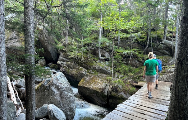
Crossing Katahdin Stream
Hunt Trail rock scramble
The Hunt Trail and Appalachian Trail are in yellow.


