North Bemis to Saddleback Mtn.
WillhiteWeb.com
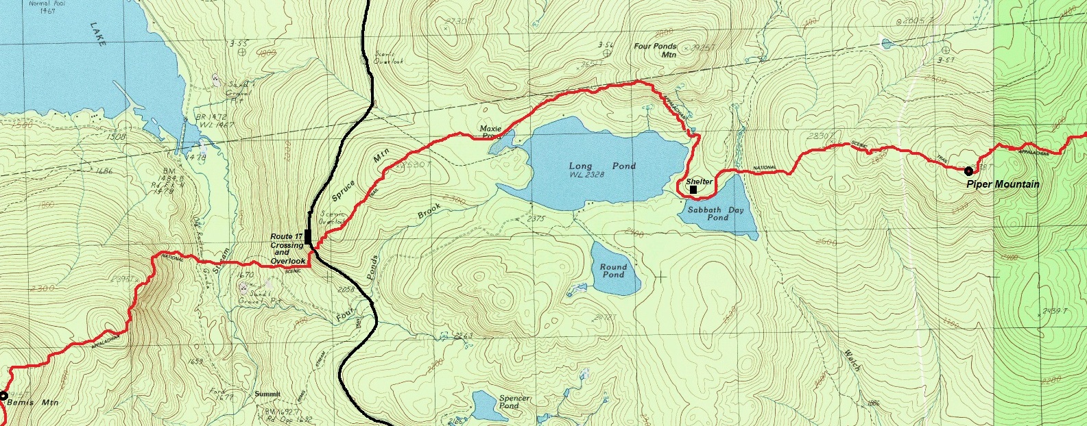
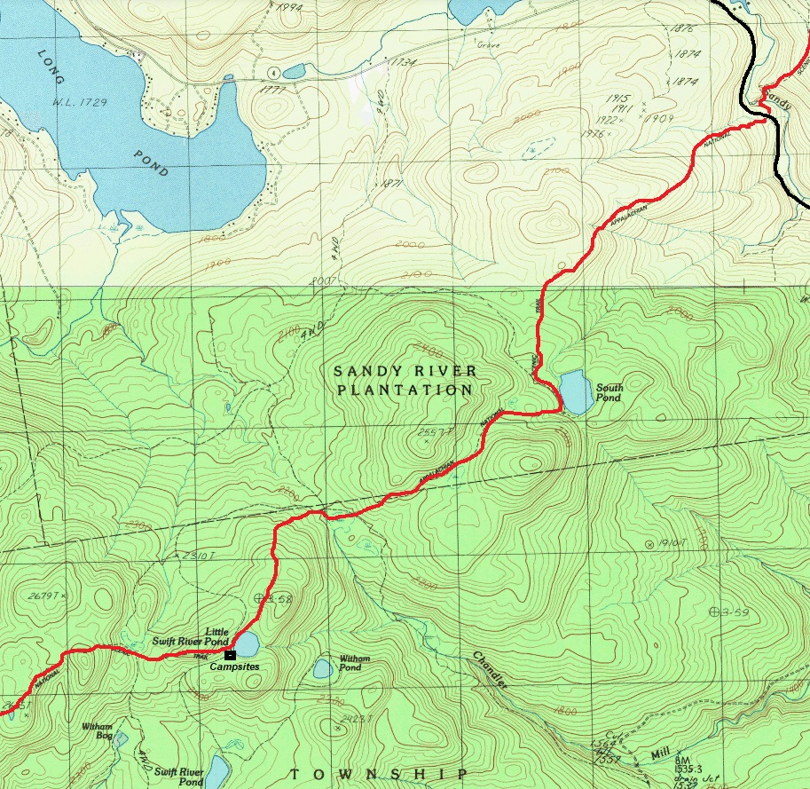
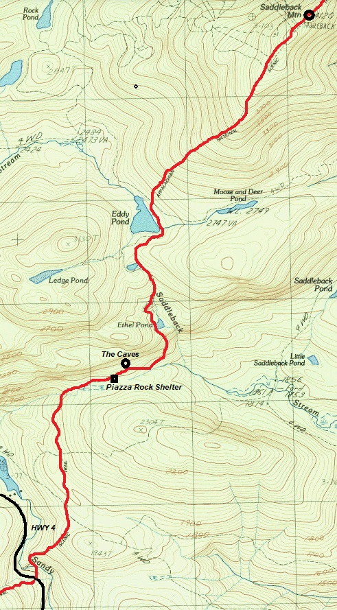
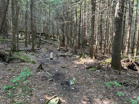
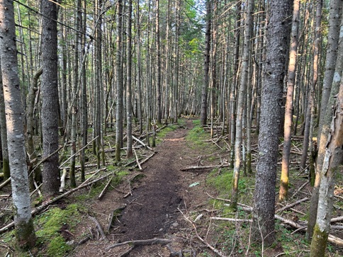
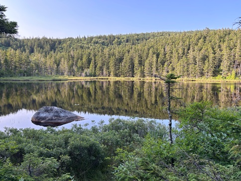
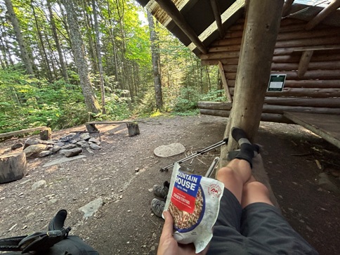
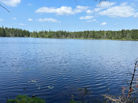
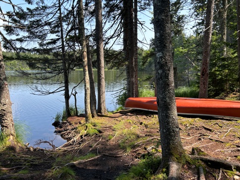
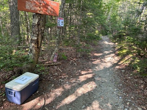
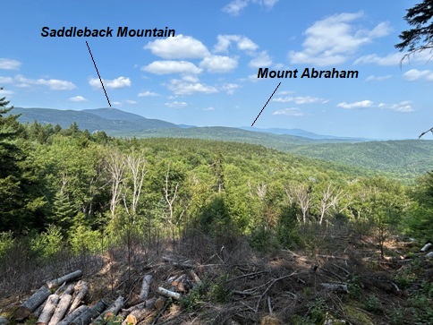
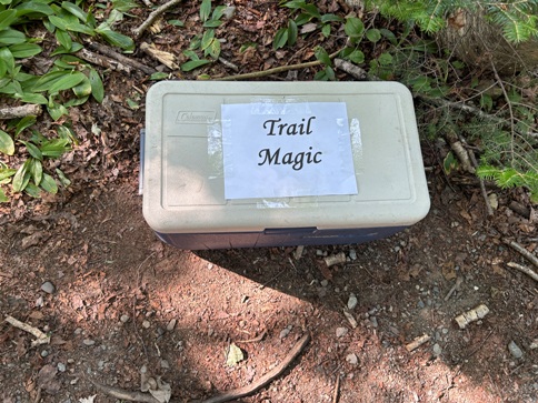
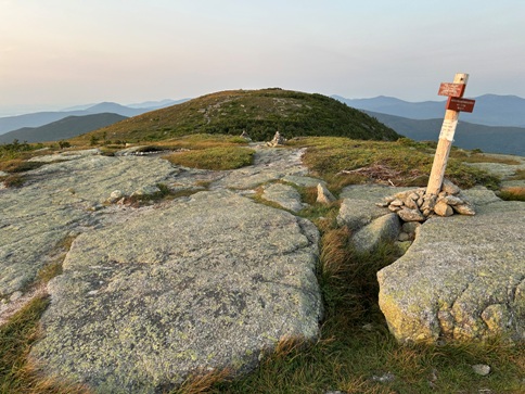
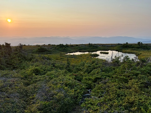
From North Bemis Mountain to Saddleback Mountain is 22 miles of forested hiking with a few highlights. I camped on both summits so these 22 miles was one day of my hike. The crossing of Route 17 was surprisingly scenic where there is a roadside viewing area for cars. The trail next crossed over forested Piper Mountain before passing several large and small lakes. There are a few gravel road crossings that occasionally had trail magic. A bit before the climb to Saddle Mountain was a nice shelter called Piazza Rock Shelter. It was a weekend so there were many local groups filling the camp. The shelter itself was completely empty when I arrived there to cook my dinner. During my dinner, some 7 year old kid shows up and asked me random non-hiking questions for quite some time. After dinner, it was a nice hike up to Saddle Mountain where I enjoyed the sun dropping as the upper part of the climb is above the trees in the open.
Appalachian Trail Sights
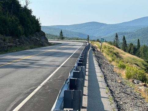
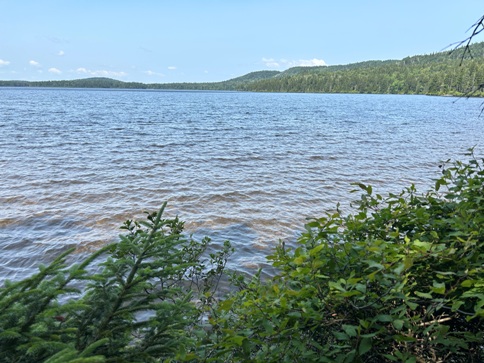


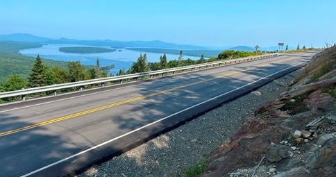
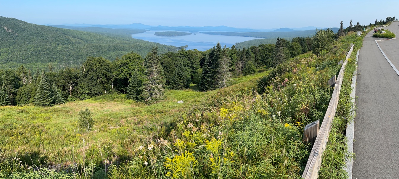
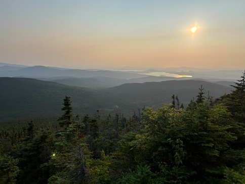
Crossing Route 17 with Mooselookmeguntic Lake
From Route 17 crossing looking back where the trail came from.
Route 17
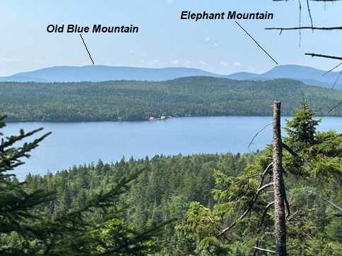
View from the overlook on Route 17
Distant mountains beyond Mooselookmeguntic Lake that the trail does not pass.
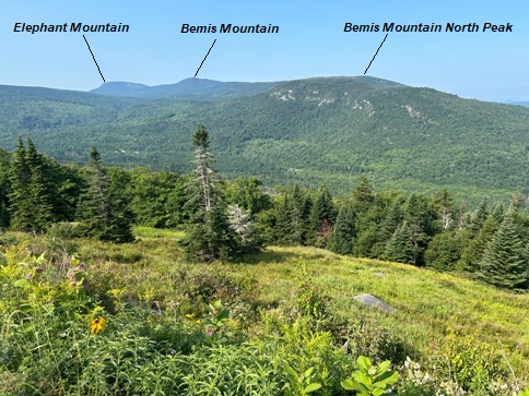
Trail goes over Old Blue Mountain and just below Elephant Mountain.
Sabbath Day Pond
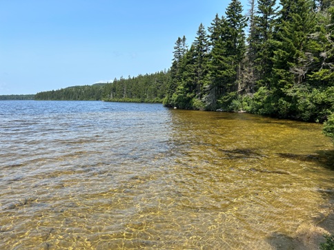
Trail near Long Pond.
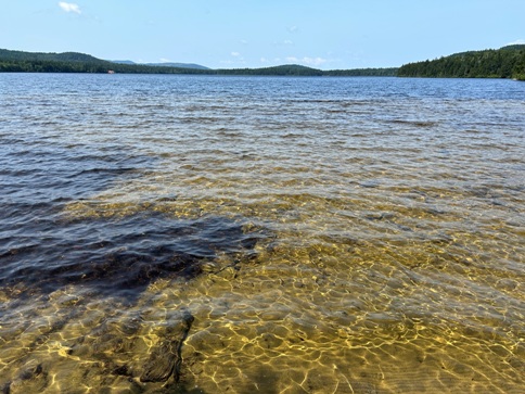
Long Pond
Long Pond
Long Pond
South Pond
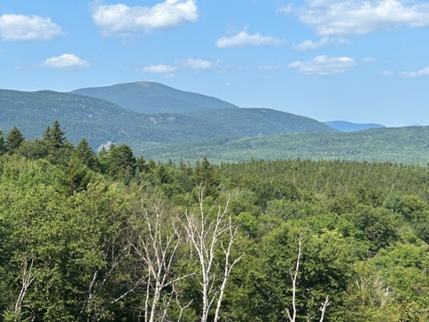
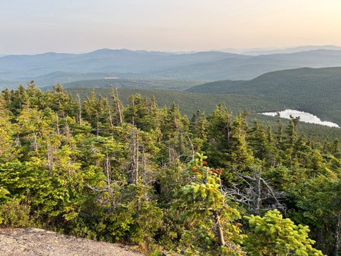
View to some upcoming mountains.
Next up was Saddleback Mountain.
Just like a mountain summit, lake or waterfall, trail magic is just as much a highlight along the trail.
Ethel Pond
Dinner at Piazza Rock Shelter.
Lower slopes of Saddleback Mountain.
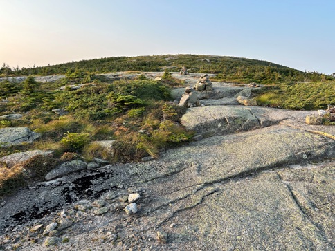
Breaking out of the trees on Saddleback Mountain.
Small pond near the false summit of Saddleback Mountain.
False summit of Saddleback with the trail sign to the ski lodge.
Route up Saddleback Mountain.
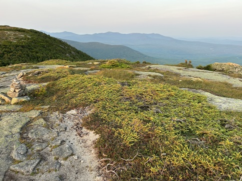
View from the false summit to Mount Abraham
Looking back to my previous nights camp on the summit of Bemis Mountain.


