WillhiteWeb.com
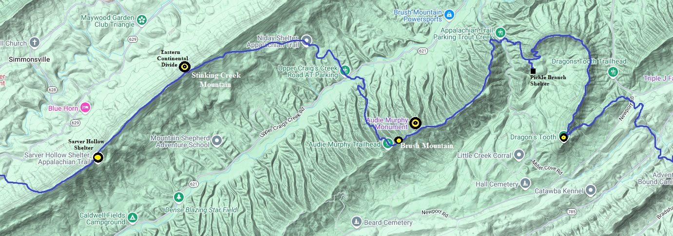
The Appalachian Trail in Central Virginia starts utilizing the narrow and elongated parallel ridges separated by flat valleys. Below are some pictures of the trail as it runs along three of these ridges, Stinking Creek Moutain, Brush Mountain and Cove Mountain. The ridges are running north, but the trail needs to be working its way northeast, so the trail must drop down and up between each ridgeline. Along the way are numerous viewpoints.
Stinking Creek Mountain, Brush Mountain and Dragons Tooth
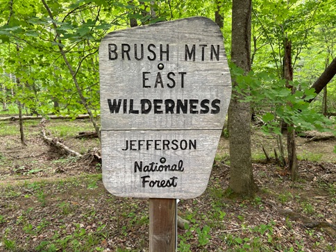
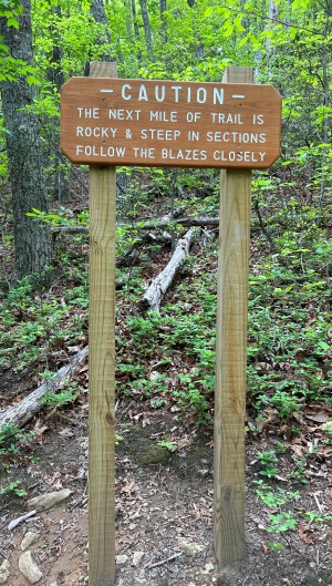
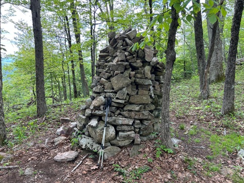
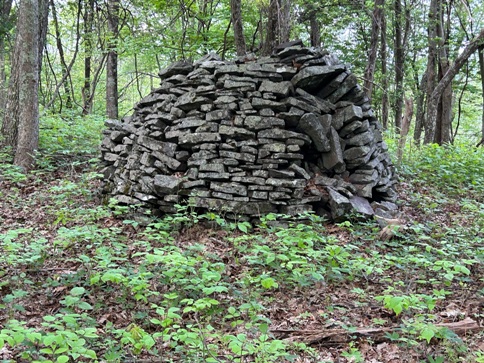
Large rock cairns on Stinking Creek Mountain. Because of this, the trail was not very rocky at all.
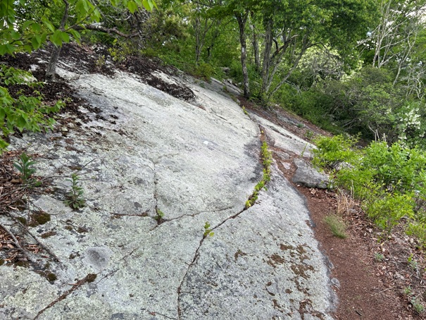
A part of Stinking Creek Mountain that the trail was slanted as it traversed ledges.
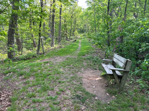
A bench upon arrival at the ridge top of Brush Mountain.
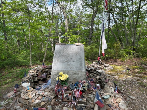
Audie Leon Murphy, a short side trail to his monument.
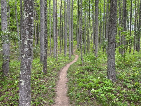
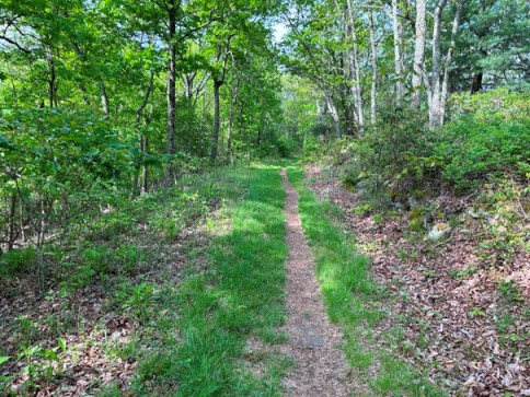
Easy walking on Brush Mountain.
Easy walking on Brush Mountain.
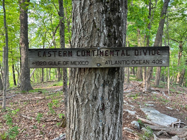
Stinking Creek Mountain and the Eastern Continental Divide.
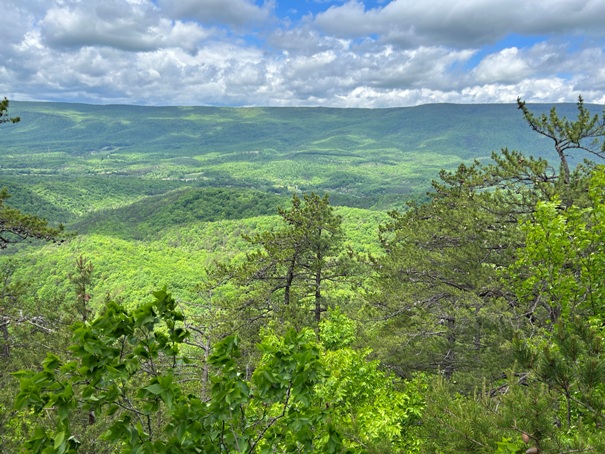
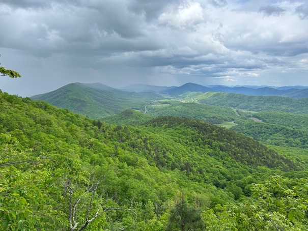
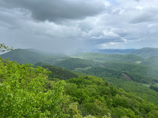
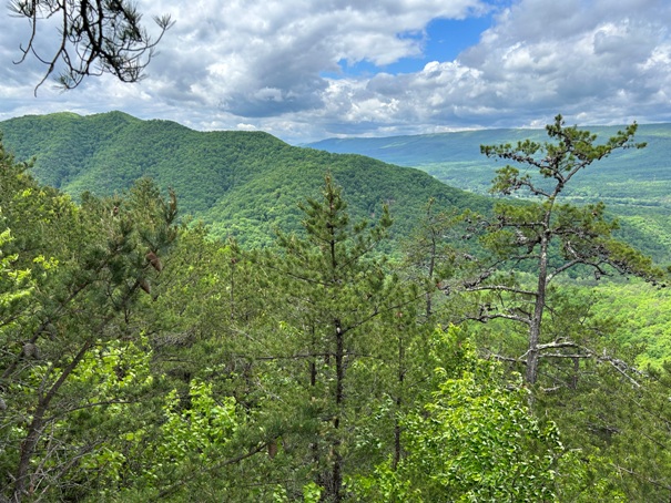
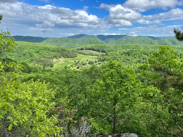
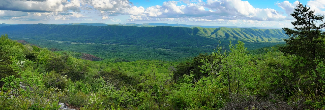
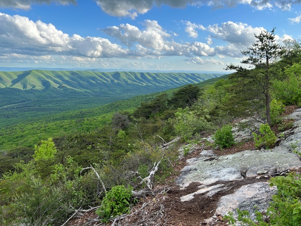
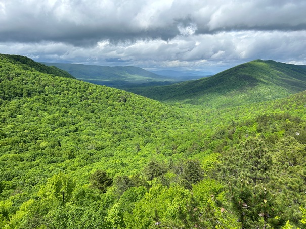
Stinking Creek Mountain viewpoint.
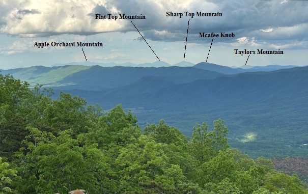
Looking north. Appalachian Trail goes over Apple Orchard Mountain.
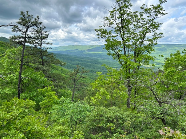
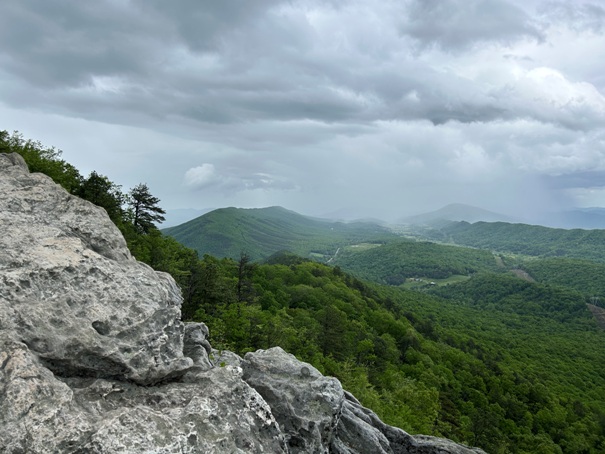
Brush Mountain viewpoint
Brush Mountain viewpoint
Brush Mountain viewpoint
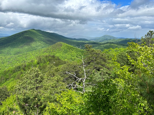
Cove Mountain viewpoint
Cove Mountain viewpoint
Climbing Dragons Tooth
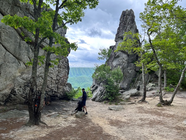
Dragons Tooth, a short side trail off the Appalachian Trail.
Coming off Cove Mountain.
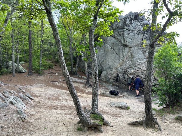
Dragons Tooth area
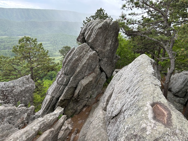
Rocks around Dragons Tooth
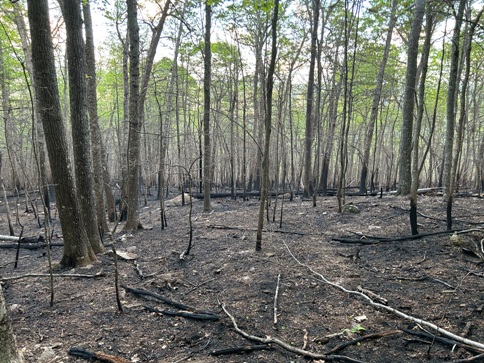
Burn area
As you approach Dragons Tooth.
Another wilderness area.
Stinking Creek Mountain viewpoint.


