Status: Former Lookout
Elevation: 4,128 feet
Prominence: 408 feet
State: Virginia
County: Giles
AT Access: 0.1 mile detour, bushwhasck
Potts Mountain Lookout Site
WillhiteWeb.com
If you have more information about this site, please contact me.
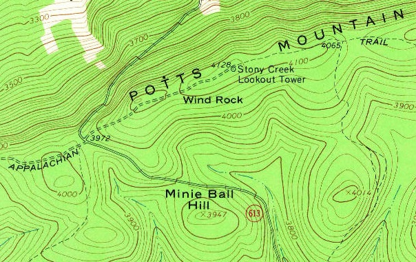
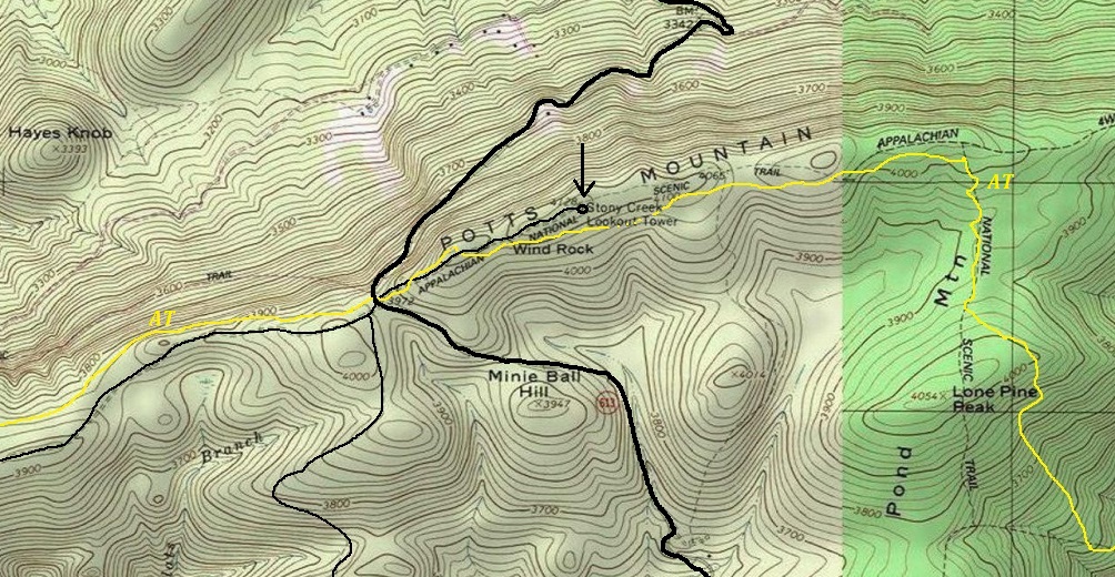
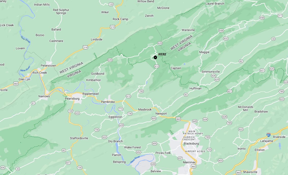
Potts Mountain is a very long ridge that has two fire lookouts labeled on maps. Nearly everything I have found refers to the more northern lookout site in Craig County that is not on the Appalachian Trail. The lookout location that the Appalachian Trail passes near says Stony Creek Lookout Tower on the map and is located in Giles County. This label on the map started appearing in 1965. To make it even more confusing, there is a standing Stony Mountain Fire Tower in Pennsylvania that is near the Appalachian Trail in Pennsylvania.
(Stony Creek Tower)


From Zachary Robbins on youtube
One of the footings
1965 USGS
AT route as it passes by the tower site
My Visit:
I camped at Wind Rock, a popular scenic viewpoint just off the AT where you have a panoramic view of Peters Mountain and the Stony Creek Valley along the VA/WV border. From Wind Rock, the old Potts Mountain Trail follows the ridge crest to the Stony Creek Tower site. Unfortunately, it has been abandoned and overgrown. I was not able to locate the trail and due to the brush being extremely wet, I did not want to soak my boots, given how long they would take to dry out. The Appalachian Trail drops below the ridge just after Wind Rock and parallels the old abandoned Potts Mountain Trail which is up on the crest. At one time, the AT was the Potts Mountain Trail. So unfortunately, this one got away for now.


View from Wind Rock with the Stony Creek Tower site on the hillside to the right
Looking West from Wind Rock
Looking North from Wind Rock


