Mount Cammerer Lookout
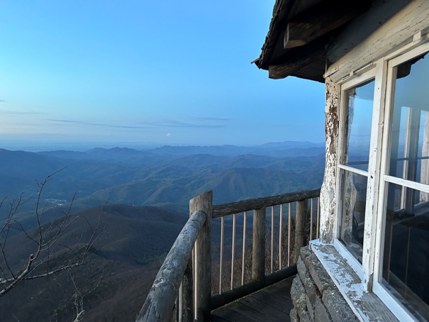
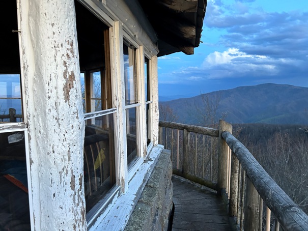
At the northeastern end of the Great Smoky Mountains National Park is the White Rock Lookout on Mount Cammerer. Although 10 lookouts covered the National Park, only Shuckstack at the south end and Cammerer at the north end are passed by the AT. The structure is a popular destination and just a slight detour off the Appalachian Trail.
WillhiteWeb.com
Status: Standing Lookout
Elevation: 4,928 feet,
Prominence: 8 feet
State: North Carolina/Tennessee
County: Cocke
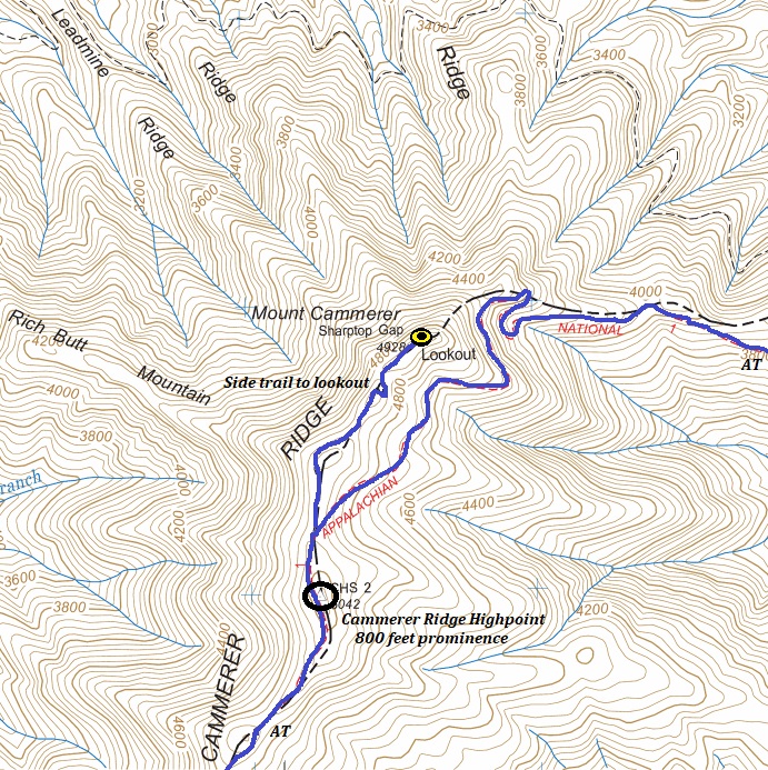
AT Access: 0.6 mile detour with 50 feet of gain
Actual Location
It is in Cocke County, Tennessee, but is often claimed by Haywood County, North Carolina as well. When this tower was built, the mountain was known as White Rock by Tennesseans and Sharp Top by North Carolinians. It was later renamed to honor NPS director, Arno B. Cammerer, who was influential in the formation of the park.
Also known as White Rock Lookout
Lookout History
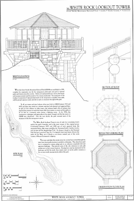
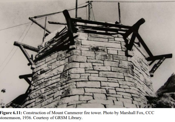
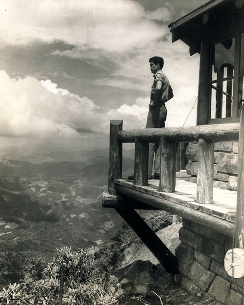
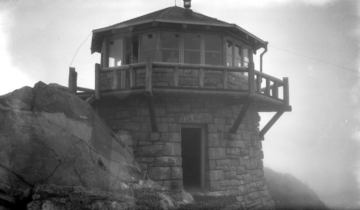
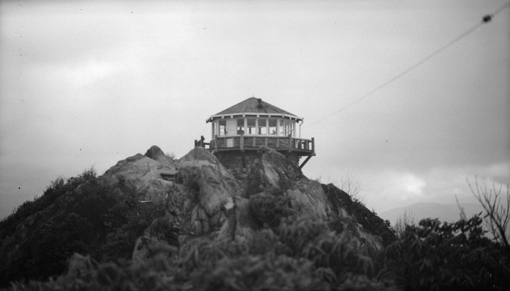
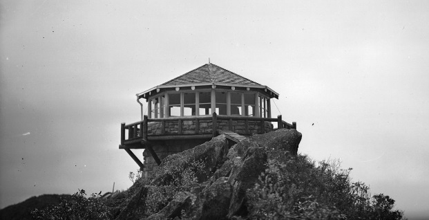
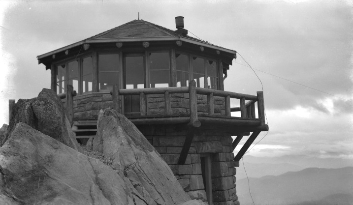
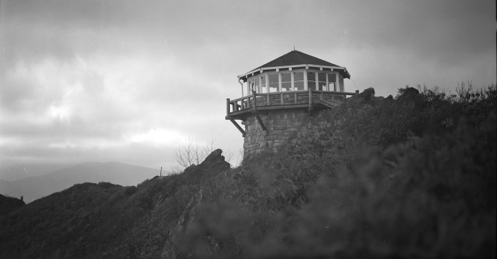
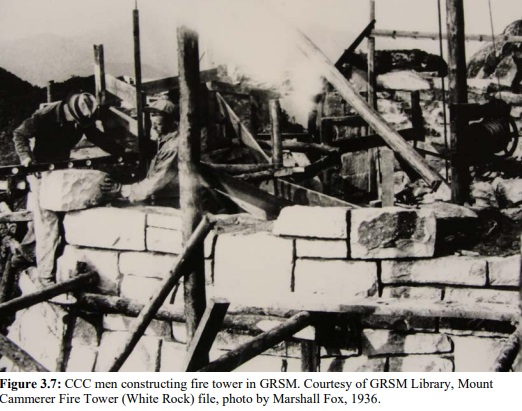
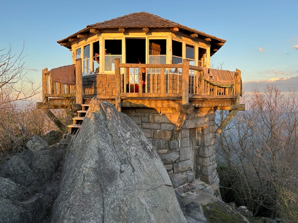
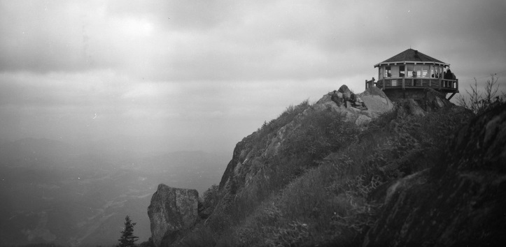
In 1937, work began on this impressive two-story octagonal stone structure, with the work finishing in 1939. Built by the Civilian Conservation Corps from materials in the area, the cost was the most expensive in the park at $15,585. Thomas Vint, the chief landscape architect at NPS from 1927 to 1938, is credited with design of this tower. Vint was a 1920 graduate of the University of California and worked under rustic-architects, Gilbert Stanley Underwood and Herbert Maier who were instrumental in the designs of Yosemite National Park. The rustic style made popular by these two mentors is apparent in the timber and stone design found in the Mount Cammerer tower and many other NPS structures of the period. When the Mount Cammerer tower was proposed in the mid-1930s, there was great debate regarding the tower style used at this location. A steel tower similar to the others in GRSM was originally suggested for the site but because of its location on a rocky outcrop and the belief that a tower in this section of the park would have high tourist traffic, the visually pleasing octagonal structure was chosen.
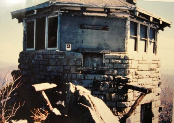
In the 1970s, the abandoned lookout fell into disrepair.
In 1995, a restoration was finished. The lookout was and continues to be restored by the Friends of Great Smoky Mountains National Park, the Panther Press and the National Park Service.
Communications
The lookout used radio but there was also a wind charger, which utilized the high winds up on the ridge, storing the power for charging batteries.
August 1939. Photo by P.M. Wentworth
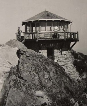
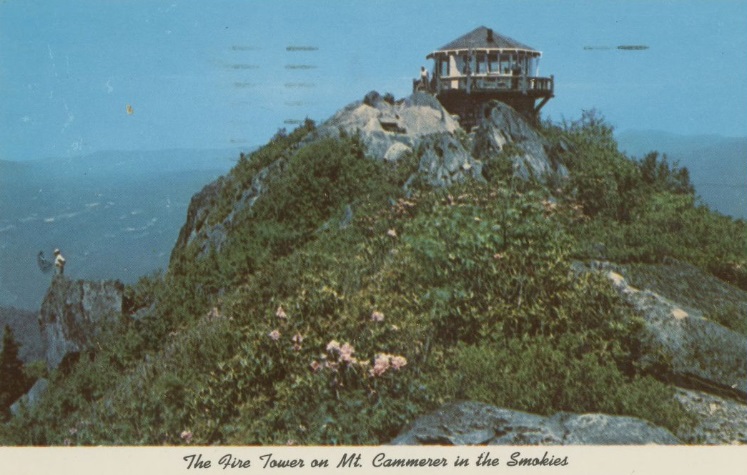
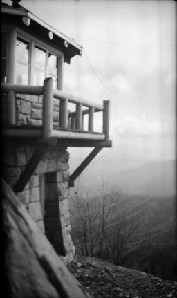
Mt. Cammerer postcard
CCC worker in 1940
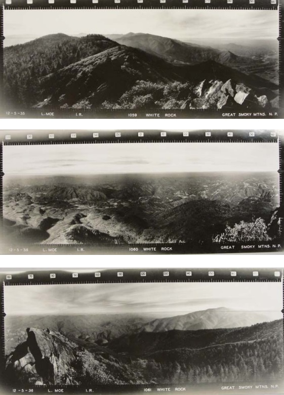
Panoramics taken December 5, 1936 by L. Moe
October 1989 before restoration
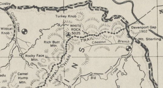
AT route as it passes by Mount Cammerer and side trail to site
1939 guide map
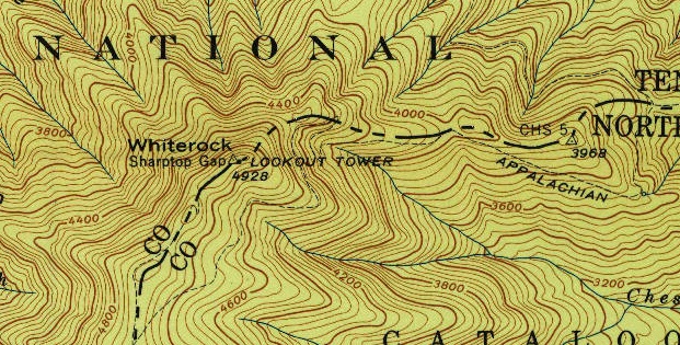
1940 USGS map
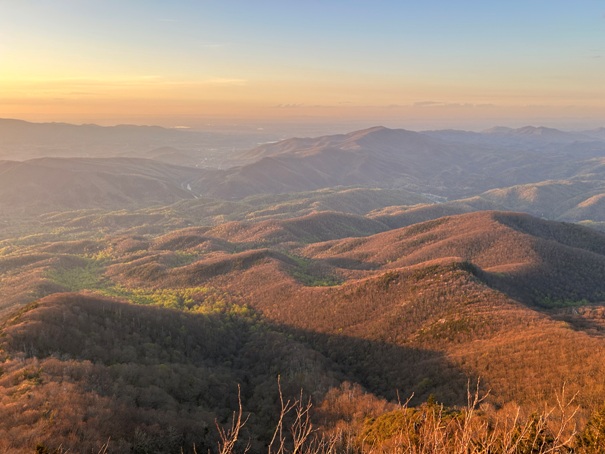
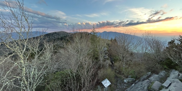

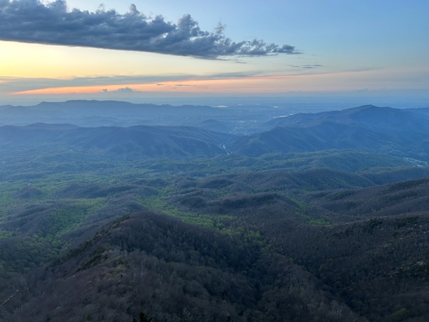
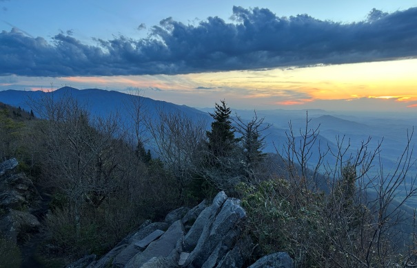
Night view from the lookout
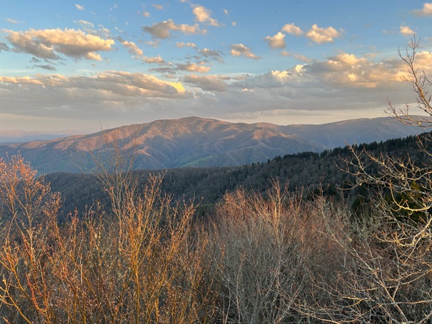
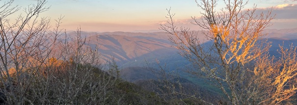
Above: Mount Guyot Below: Mount Sterling
Mount Cammerer Lookout in 2024


