Mount Everett
WillhiteWeb.com
Status: Former Lookout
Elevation: 2,602 feet
Prominence: 1,663 feet
State: Massachusetts
County: Berkshire
AT Access: Trail over the top
Lookout History
In 1862, the Massachusetts Geodetic Survey placed a survey station on the summit. They called the mountain Bald Peak Mountain but also said it was known as Mount Everett. They even referenced the name The Dome and Taughanuc Mountain.
In 1910 or close to it, there was an old wooden tripod of four-by-four timbers on the summit, likely from survey partys. The plan was to build a road to the summit for a real tower. The state sent up an Italian road gang of about 20 men. They worked all through the winter, living in the flimsiest shelter, and fed largely by fish caught and dynamited from Guilder Pond. One worker even had his head crushed in by a sledge hammer. The crew was stopped a quarter mile short of the top by the steepness of the rock.
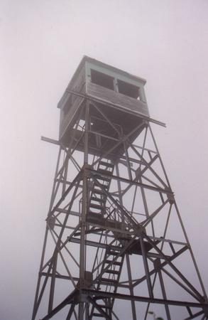
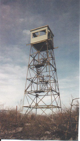
In 1915, a 38-foot fire tower with a 10 by 10-foot cab was erected. The first date of operation was April 15, 1915. The states of Massachusetts, Connecticut, and New York contributed to its funding, as did the town of Great Barrington with a $150 contribution.
In 1945, a new tower was constructed to replace the earlier structure.
In 1947, the daily observer was Ezra Whitbeck. During this season, Ernest Shorti of Edgemont constructed a stone lookout building near the fire tower. The cabin type affair was larger than the former one, with two entrances. The roof was built of oak logs and sheathed in metal for protection from the weather and vandals.
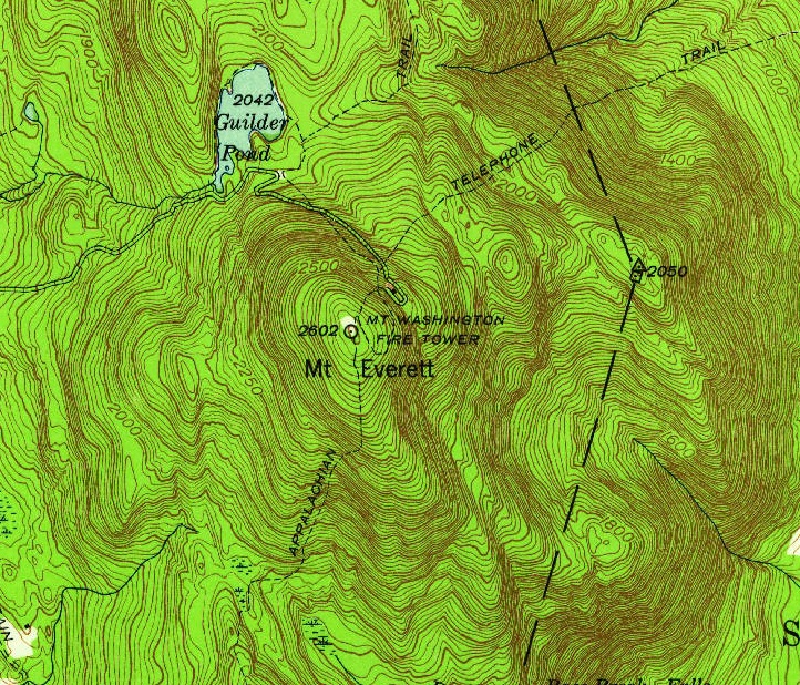
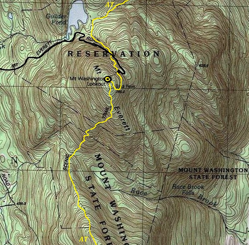
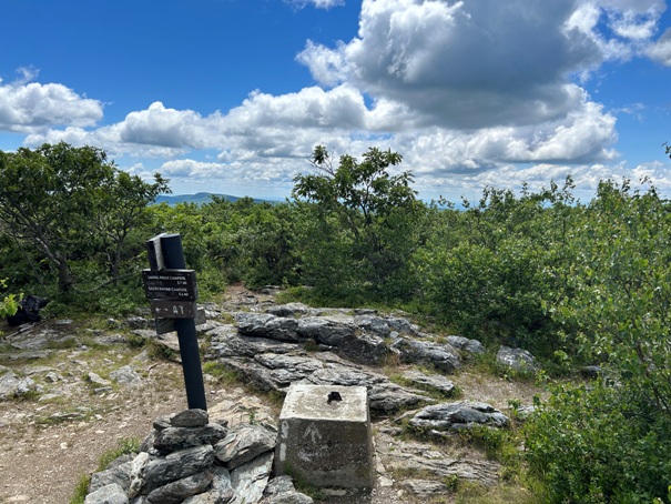
In 1970, a new 40-foot fire tower was constructed at a location about 100 feet north of the previous two towers, which were located at a point where the summit was crossed by the Appalachian Trail. This newest tower had a bidding that includes structural steel, concrete, carpentry, painting, excavating and blasting. It may have been 60-feet tall.
A 1984 National Geodetic Survey party said the lookout tower described the cab as 3 meters square mounted on four steel legs with the roof about 55.8 feet high, painted silver and the cabin is light green while the legs are unpainted.
In 1972, this was the last year of staffing.
In 1999, there was a major conflict when the Massachusetts Department of Environmental Management wanted to put telecommunications equipment on the fire tower. The townspeople joined together to defend the mountains largely undisturbed landscape that holds stunted 170-year-old pitch pines and 250-year-old oak and hemlock trees in the ravines. The town won.
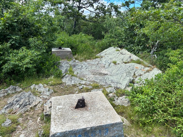
In 2003, during the spring the tower was dismantled and airlifted by helicopter from the summit. It was stated that the tower had not been used since 1972, and foot traffic from the Appalachian Trail had created numerous foot trails through the plant life, causing considerable damage. The tower was sold to a private landowner in the same town.
For many locals, the idea of losing the Mount Everett fire tower was very sad but it was the only way to truly safeguard the Mount Everett summit.
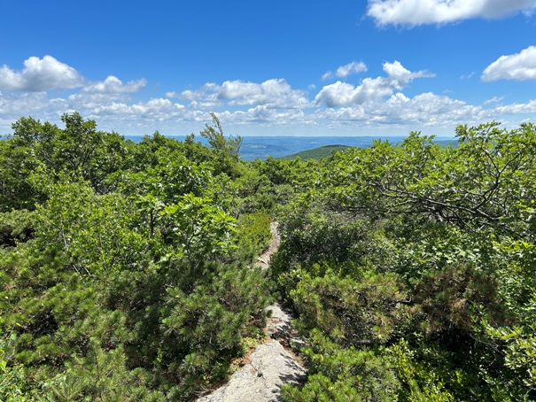
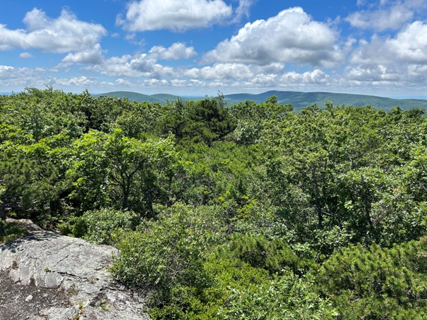
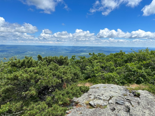
Mount Everett is the centerpiece of the Mount Everett State Reservation, a public recreation area established back in 1908. Panoramic views of Massachusetts, Connecticut, and New York can be seen from the summit of Mount Everett, although without a tower, they are slowly being overgrown. The reservation has about 530 acres of old-growth forest and at the summit is a dwarf forest of pitch pine and bear oak that, aside from clearing for a fire tower and trails, has not been disturbed for centuries. Prior names were Baldy Peak and The Dome on Taughanuc Mountain. The name Mount Everett (after Edward Everett, governor of Massachusetts) was proposed in 1841 by Edward Hitchcock, chief of the state Geological Survey.
(Mount Washington Lookout )
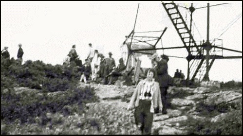
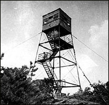
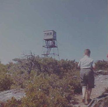

Mount Washington Lookout in 1950
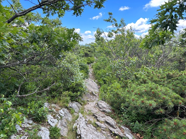
Appalachian Trail as it crosses over Mt. Everett
Zeke Whitbeck in the lookout
Photo by Bill Cobb, 1988
1941
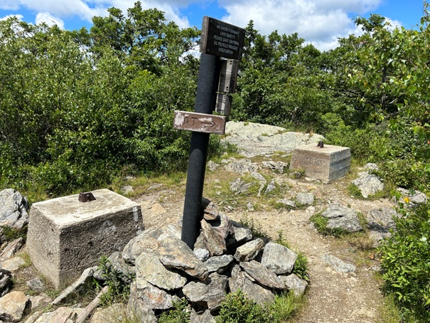
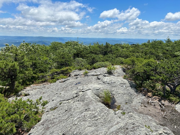
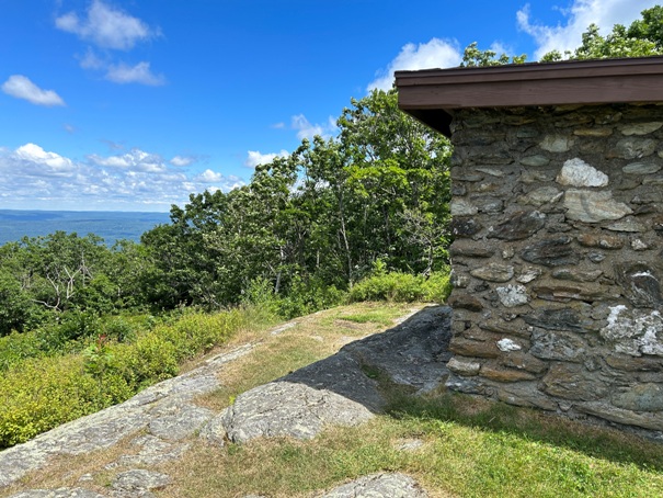
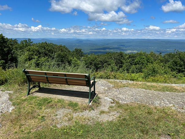
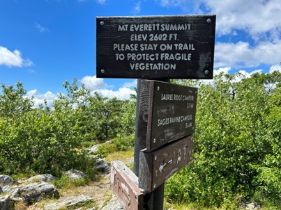
Summit sign
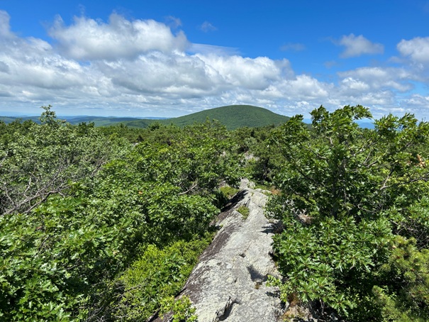
Looking north to the state highpoint
Bench at the Mount Everett Shelter
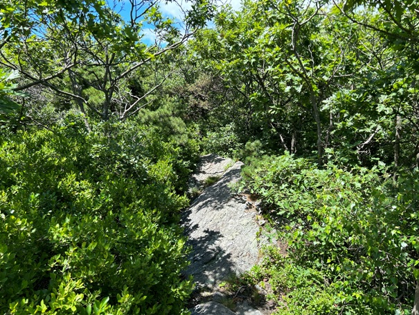
Trail just north of the summit
Views just north of the summit
Footings from the Mt. Washington Fire Tower
Looking north to Mount Everett from the summit of Mount Race
Summit of Mount Everett
Trail on Mount Everett
Trail on Mount Everett and summit views
Mount Everett Shelter


