Glastenbury Mountain Lookout
WillhiteWeb.com
Status: Standing Lookout
Elevation: 3,748 feet,
Prominence: 1,108 feet
State: Vermont
County: Bennington
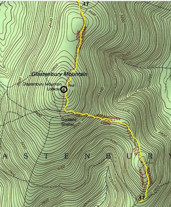
AT Access: Trail over the summit
Lookout History
In 1926, the Vermont Timberland Owners association ordered through its secretary, F.B. Willson, a 50-foot steel tower to be erected on Glastenbury Mountain, with the co-operation of the state forest service. The fire lookout station would cover a section of Bennington County that had little protection previous to this time. The material was to be hauled up on the snow and the tower will be erected in summer.
In 1927, they erected the tower and about five miles of telephone line to the station. The forest fire watchman was able to locate fires which may start in some 20 towns in southern Vermont.
In 1932, repairs had to be made to the Glastenbury tower.
In 1938, some Department of Conservation and Development State of Vermont notes said they improved the trail, painted the tower and camp, a new foundation under camp, and a new fire finder map in tower.
In 1948 they installed a radio transmitter and receiver, including a wind charger. This radio operated in conjunction with the State Police system. It was on an experimental basis.
In 1950, the tower stair treads was painted, a lock was installed on the tower cabin, the experimental radio installation was removed. A complete salvage of phone wire with thirty telephone poles dug up and moved to Coolidge Forest. No longer to be used.
In 1957, the abandoned fire tower and rangers cabin was continued on an inactive basis with the areas being covered in hazardous weather by flights of the plane patrol.
In 1963, a Coast and Geodetic Survey crew found the tower was dilapidated and the steps appeared unsafe and the cab at the top was mostly missing.
In 1970, the Mt. Anthony High School Amateur Radio Club used the abandoned tower for their location for broadcasting.
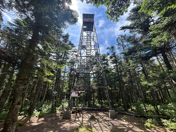
In 1975, the tower reconstructed with materials flown in by helicopter. Work was done by the Youth Conservation Corps under supervision by the U.S. Forest Service.
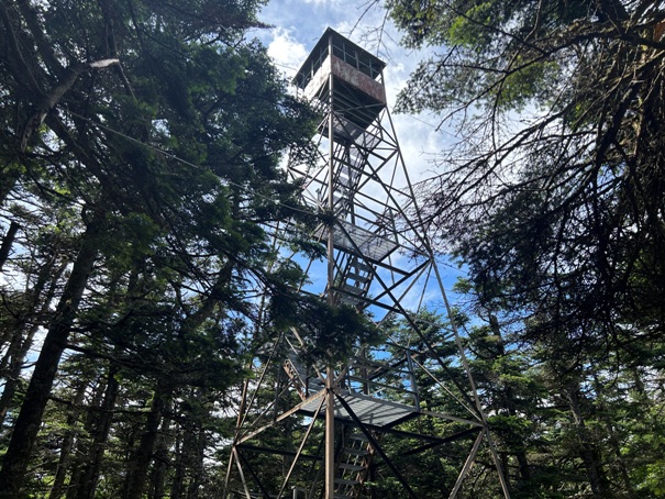
In 2022, the Glastenbury Fire Tower was closed to public use as the Federal Aviation Administration deemed the tower structurally unsafe. The first flight of stairs for the tower was removed following an inspection. It is rather easy to bypass the first flight of stairs and still climb up the tower.
Get ready, Glastenbury Mountain is said to be haunted. Located in the Bennington Triangle, there were numerous disappearances between 1945 to 1950. Also, Native Americans believed this mountain was evil, citing legends that the peak swallowed its victims. There are even some large rock cairns at the summit that have unknown origins, likely Native American markers.
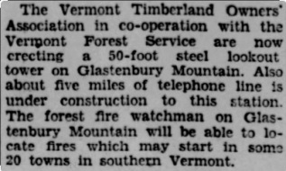
Year 1927
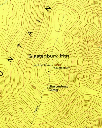
1954 USGS map
Route of the Appalachian Trail going over Glastenbury Mountain
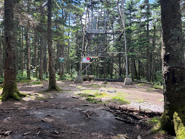
Glastenbury Tower 2024
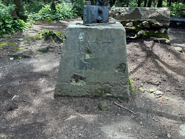



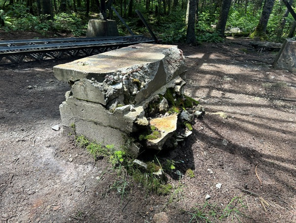

1927 footing
First few steps
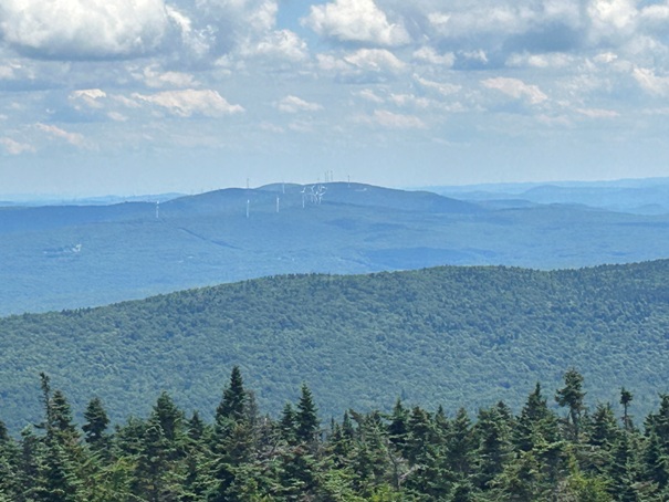
Wind farm
North to Stratton Mountain
Glastenbury Tower 2024
South to Mt. Graylock


