Chestnut Ridge/Knob Lookout Site
WillhiteWeb.com
Status: Former Lookout
Elevation: 4,409 feet
Prominence: 609 feet
State: Virginia
County: Bland (County Highpoint) and Tazewell
AT Access: Trail over the top
Lookout History
In 1929, the 48-foot high steel tower was built.
In 1934, the USGS placed some benchmarks. The main station mark was placed under the center of the fire tower. One directional benchmark was placed 24 feet from the south leg of the fire tower. And another 23.7 feet from the concrete doorstep of a cabin. They said they used the 50 foot tower to make some measurements.
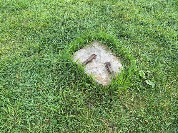
In 1958, the USGS returned and mentioned that the tower had been torn down but the concrete footings were still in place.
In 1961 they said the tower was moved and gave new measurements to the station benchmark. Basically, they were saying that a new tower had been erected.
In the 1980s the second tower was removed.
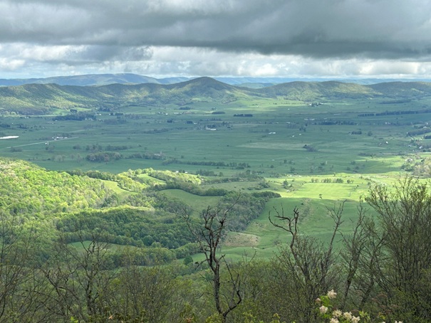
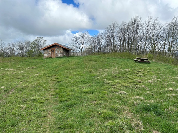
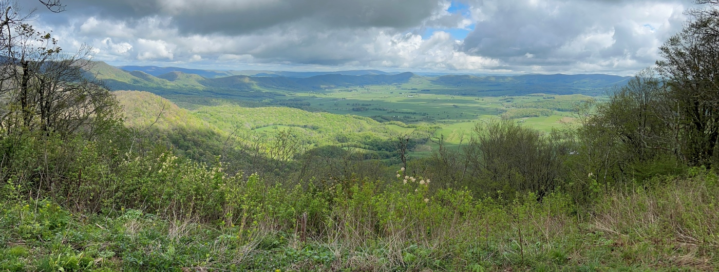
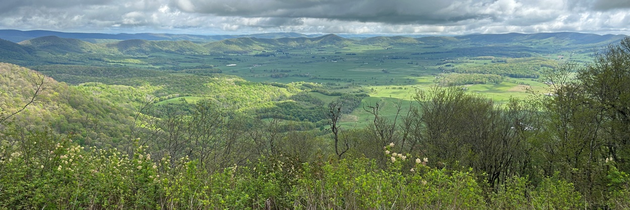
The former lookout fire wardens house at the base of the tower now serves as the Chestnut Knob Appalachian Trail Shelter and was rehabilitated in 1994. The site overlooks Burkes Garden and provides views towards Big Walker Mountain and Mount Rogers.
If you have more information about this site, please contact me.
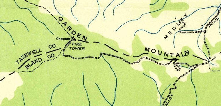
Chestnut Ridge Lookout on a 1935 map
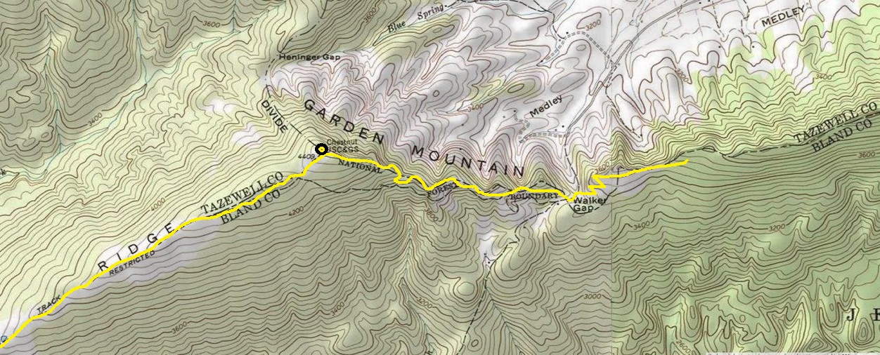
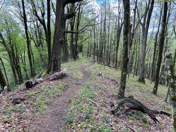
AT route over Chestnut Ridge
Former ground living quarters is now used as a shelter

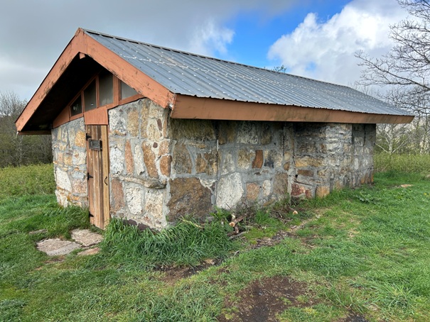
Chestnut Knob Shelter
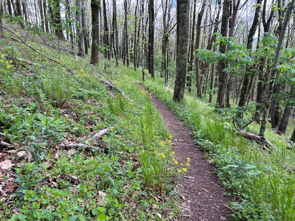
Hiking north up the Appalachian Trail to Chestnut Knob
Burkes Garden is the highest valley in Virginia and has a large Amish community.
View of Gods Thumbprint, the highest valley in Virginia. From the air, the mountains on all sides make it appear bowl like in the shape of a thumb print.
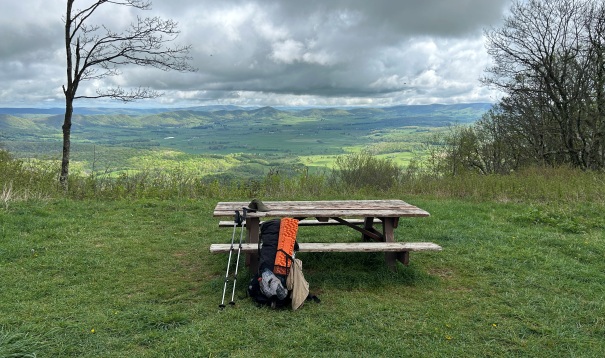
Lone picnic table at the summit
Chestnut Knob site
Footing from the lookout
Nice farms
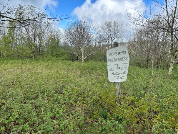
Boundary of Beartown Wilderness
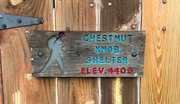
Sign on the shelter
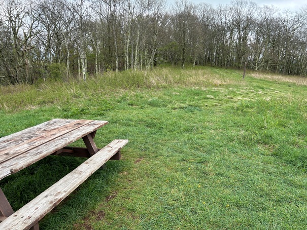
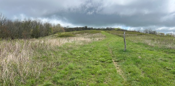
Going northbound, the trail continues into those trees
Going north on AT
Dropping off Chestnut Knob going northbound
Views while climbing up Chestnut Knob


