Mount Garfield
WillhiteWeb.com
Status: Former Lookout (AMC Peak)
Elevation: 4,480 feet
Prominence: 800 feet
State: New Hampshire
County: Grafton
AT Access: Trail 2 minutes below the summit
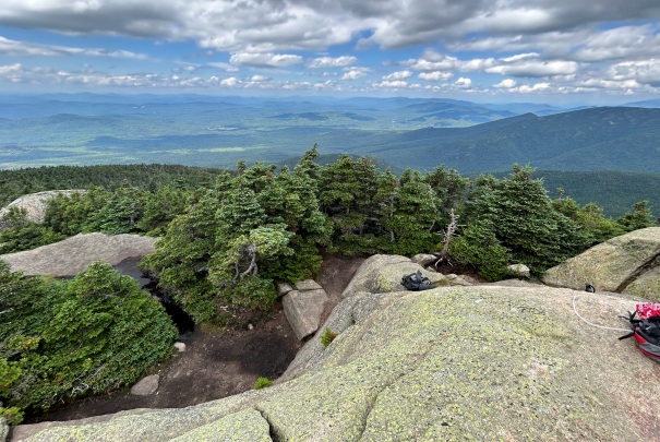
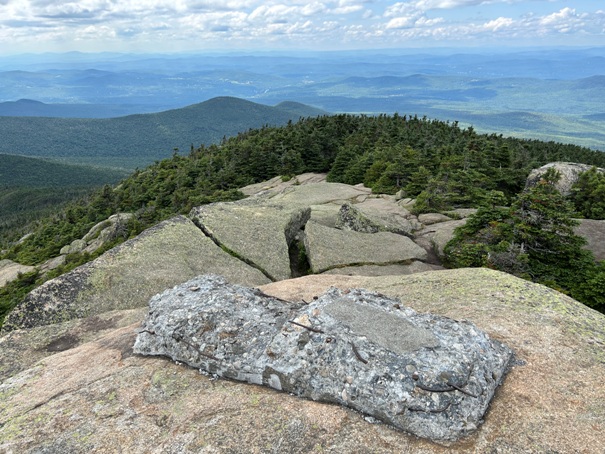
After traversing the impressive Franconia Ridge, hikers on the Appalachian Trail going northbound will encounter Mount Garfield. The final hundred feet or so is on slab rocks to reach the summit and former fire lookout foundation.
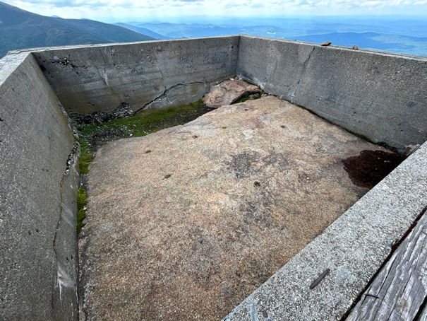
In 1940, a fire lookout cab was built on a concrete foundation.
In 1948 was the final year of use.
In the 1950s, it was burned.
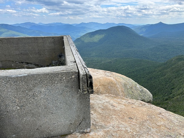
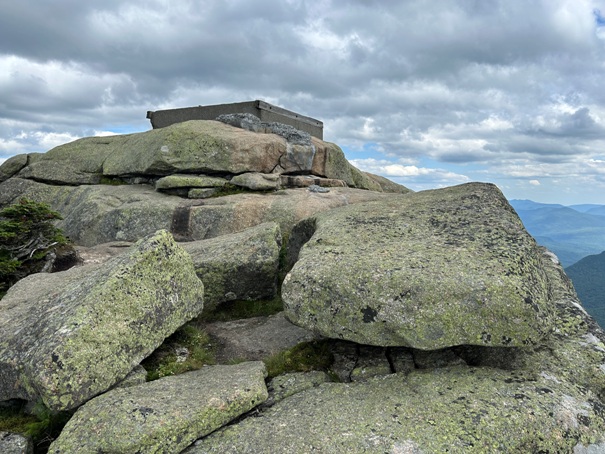
Today, the foundation remains.
Mount Garfield Foundation
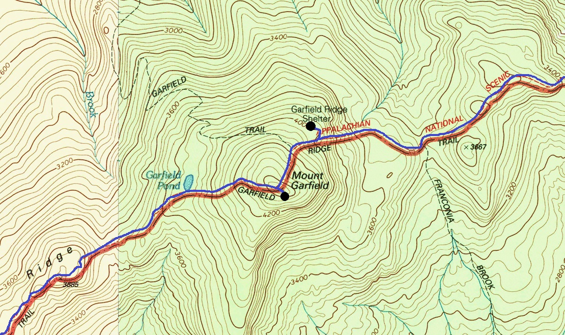
Route of the Appalachian Trail over Garfield Mountain





Continuing north, the Appalachian Trail goes up and over South Twin Mountain and Mount Guyot.
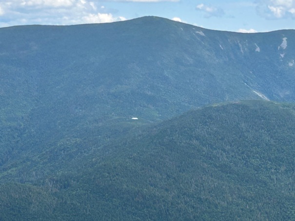
Next up, Gailhead Hut (roof in center of image) with South Twin Mountain above it.
Dropping down Mount Garfield on something called a trail to the people of New England.
Franconia Ridge, one of the best alpine like traverses on the Appalachian Trail.
East view, New Hampshire, White Mountain National Forest
Arriving at the summit
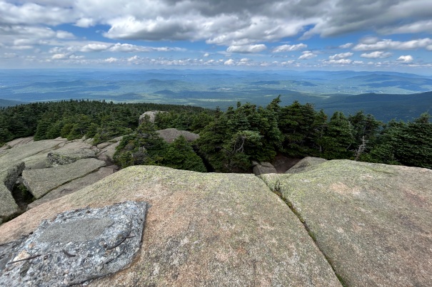
Looking south from Mt. Garfield
Looking west from Mt. Garfield
Looking SW to Franconia Ridge
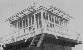
Mount Garfield Lookout


