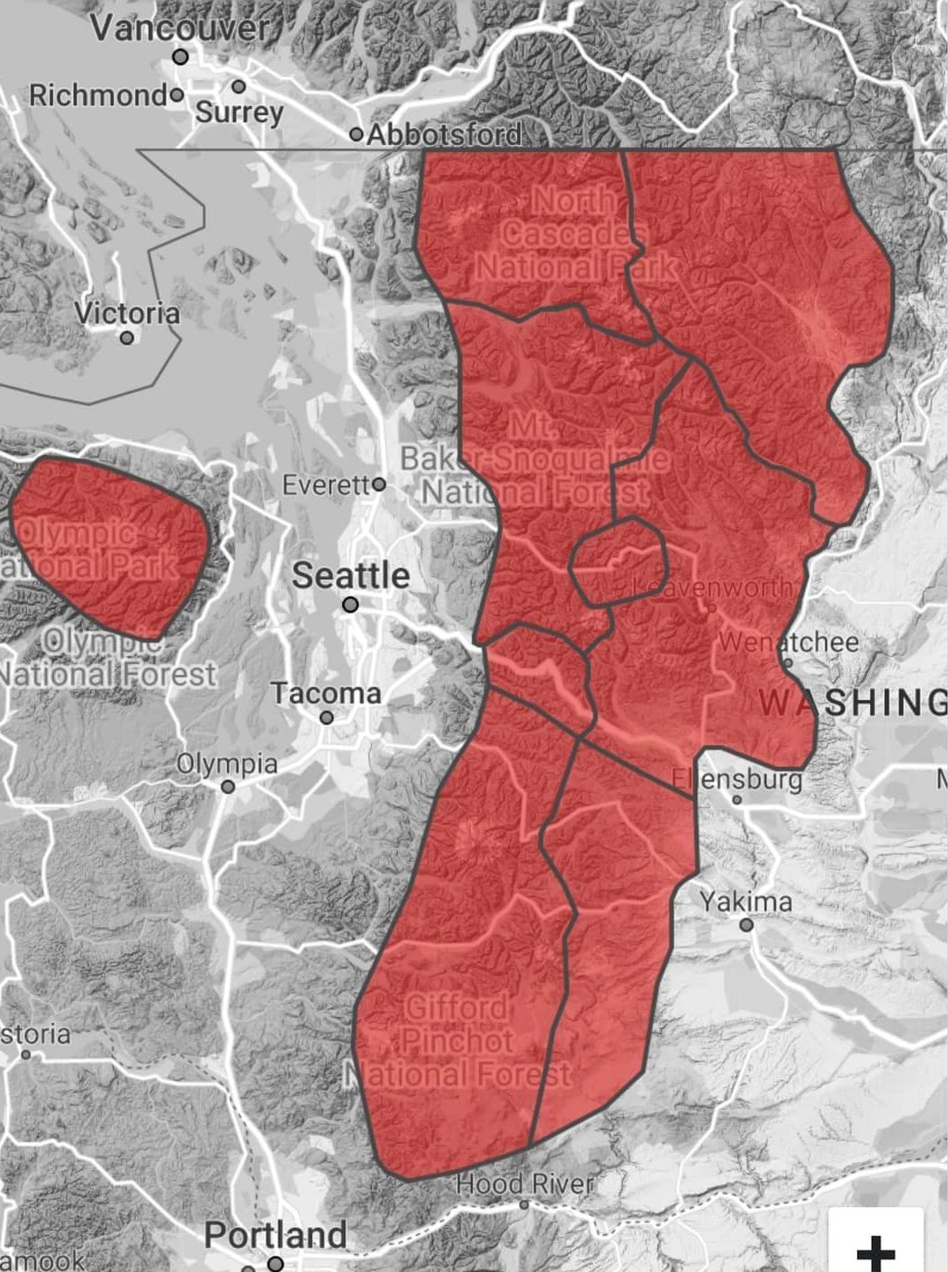
Minimal to No Avalanche Risk Winter Peaks in the Puget Sound Region
Keep in mind that there is a difference between winter trips and avalanche free winter trips.
In winter, you may need to lower your standards a bit regarding quality.
Longer approaches and road snowshoeing are often necessary.
Never expect a hikable trail in winter but be happy if a trail is packed down or snow free at lower elevations.
For success, always have snowshoes, poles, ice axe and crampons (skill with these on some trips is crutial).
You will need some basic navigation skills or an app to guide you.
Deviations from the summer routes are often required to avoid risky areas.
If you are going during times of high avalanche danger, you are likely breaking fresh deep snow, find some friends to help.
With deep snow, almost all peaks are considerably harder, and even the most easy peak could prove difficult.
Recommendations:
Difficulty Levels (Based on many factors of my choosing)
Tourist = Anyone in decent shape should be able to do, trail usually packed down (morning type trip).
Easy = Same as tourist but you may be more remote or need some navigation skill (half day).
Mid = Will require some effort but is the standard winter trip if you want to summit something (full day).
Hard = Only the experienced and very fit should attempt (bring that headlamp).
These are all winter accessible options (assuming the snow level is normal).
These all have very minimal to no avalanche risk.
These are all one-day outings.
Trip report maps and descriptions may not show winter routes.

OLYMPICS
HWY 20 & DARRINGTON
HIGHWAY 2
ANACORTES AREA
I-90 CORRIDOR ACCESS
BELLINGHAM AREA
HIGHWAY 410
RAINIER/LONGMIRE AREA
1
2
3
11
4
(last 200 feet caution)
(once approach road is repaired)
(via Deep Creek Trail)
Winter Trips with some avalanche potential, but often done when Avalanch Risk Is Low
MORTON/RANDLE AREA
(last 200 feet caution)
Humpback (Mid)
18) Goat (near Baker Lake)
33) Philadelphia (mid)
36) Frog (low snow year) (mid)
35) Palmer (hard)
40) Aarowhead (hard)
41) Natapoc (mid)
25) Marble
32) Mt. Persis (mid)
Mt. Tirzah (mid)
9) Mt. Rose (easy)
11) Blanchard Hill (easy)
EAST SIDE I-90 ACCESS
(accessable during low snow years)
WillhiteWeb.com
I-90 ACCESS
OLYMPICS
HWY 2 ACCESS
HWY 20 & DARRINGTON
MT. RAINIER AREA
SOUTH CASCADES
5
6
7
8
9
10
12
13
14
15
16
21
22
23
20
19
18
31
32
34
37
38
30
39
42
Mt. Baker Highway
55
56
57
58
62
61
63
60
59
17
33
65
67
66
68
70
69
75
76
77
81
79
82
83
84
40
41
24
25
64
Mountain Loop Highway
35
36
Chiwaukum Peak (hard)
Henen Buttes (hard)
RAINIER CARBON RIVER AREA
80
