Sugarloaf Mountain � Anacortes
Elevation: 1,044 feet
Hiking Distance: Just over a mile up
Elevation Gain:
Prominence: 284 feet
Access: Any car
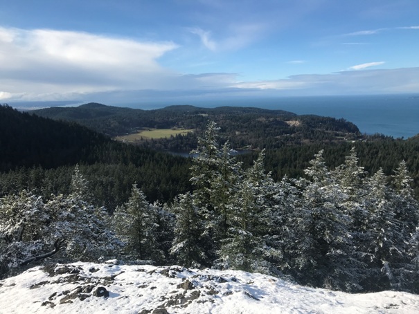
Sugarloaf is the smaller neighbor to Mt. Erie, but with no road to the summit, has a more tranquil setting. Getting up is a short but steep climb through nice forest. The south end of the summit has a great view from a bald area. Trails continue over the mountain to places such as Whistle Lake and Mt. Erie.
Route:
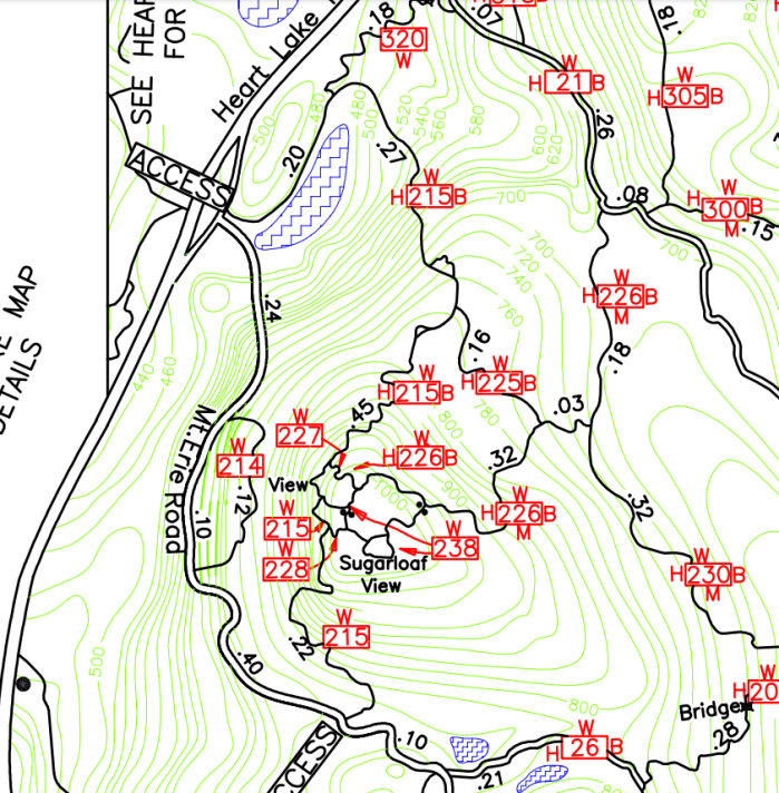
A map is a good idea when hiking in the Anacortes Community Forest. There are trails everywhere, but if you go without, you will probably still make it if you go uphill at every trail intersection.
The trailhead is right off Heart Lake Road at the start of the road up Mt. Erie.
Trailhead Access:
WillhiteWeb.com
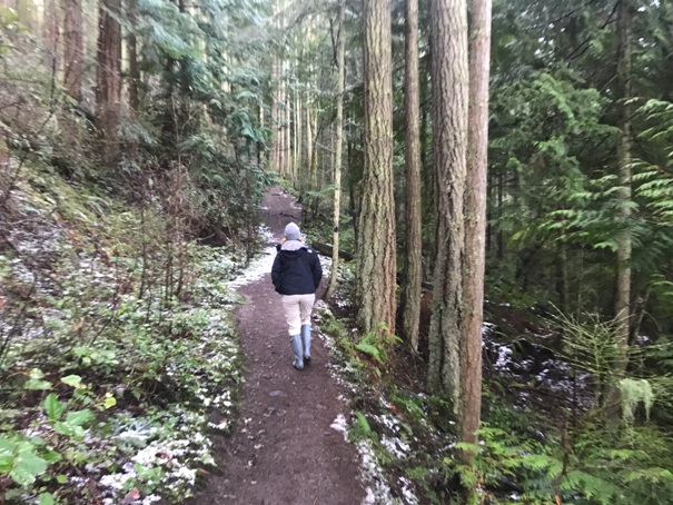

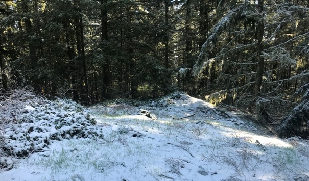
Sugarloaf Mountain Trail
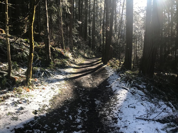
Sugarloaf Mountain Trail
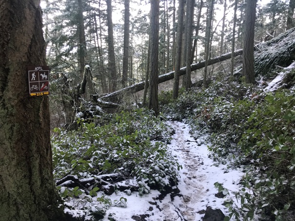
Sugarloaf Mountain Trail Signs
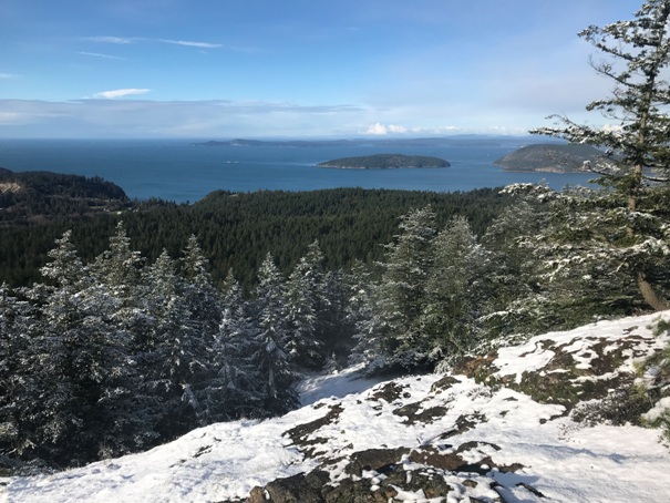
From the summit view looking Southwest to the Strait of Juan De Fuca
From the summit view looking Southwest to the Strait of Juan De Fuca
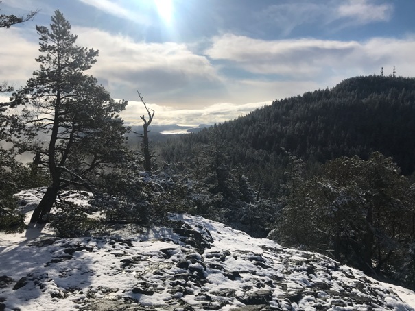
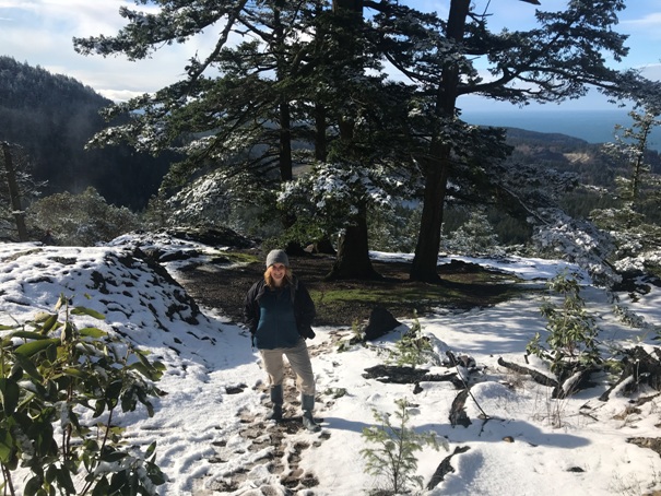
Summit area viewpoint
Mt. Erie from the summit viewpoint
Actual summit is just off the trail before the viewpoint and has no views
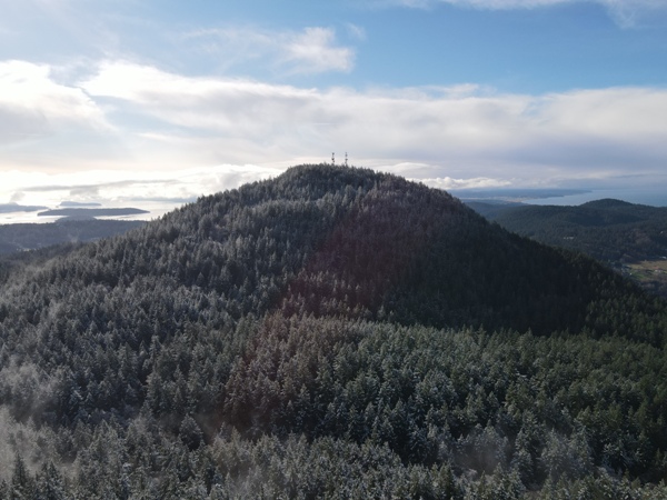
Mount Erie from drone above the viewpoint
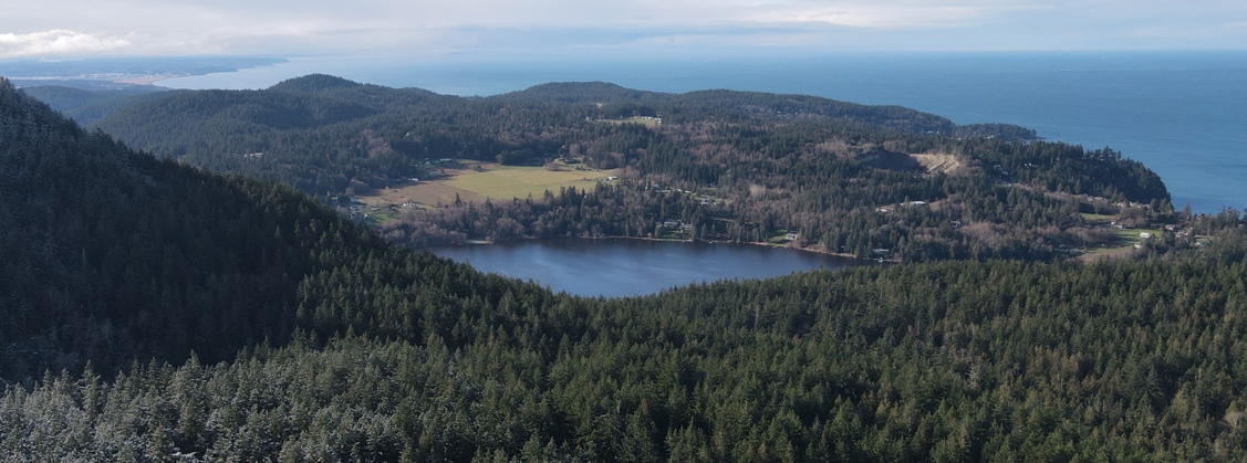
Drone view looking south over Lake Erie and down Whidbey Island
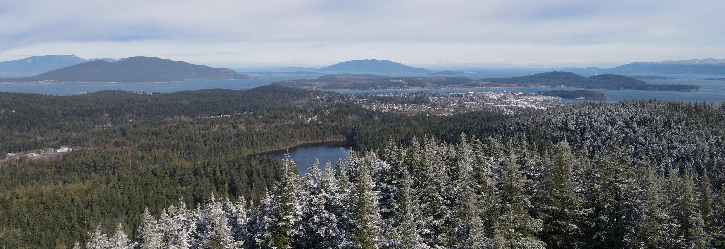
Drone view looking North over Heart Lake and the city of Anacortes, Guemes Island, the San Juan Islands (on left) and Lummi Island (center in distance).
Drone view looking Northeast over the Puget Sound Refinery, Padilla Bay, and Mt. Baker.
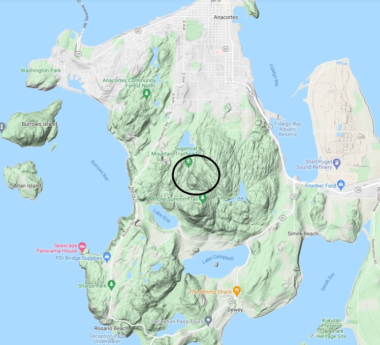
Location of Sugarloaf Mountain
Trails up Sugarloaf Mountain


