Summit Elevation: 5,681 feet
Hiking Distance: 3 miles each way
Elevation Gain: 5,000 feet
Access: Dirt road with potholes, but any car can make it.
WillhiteWeb.com
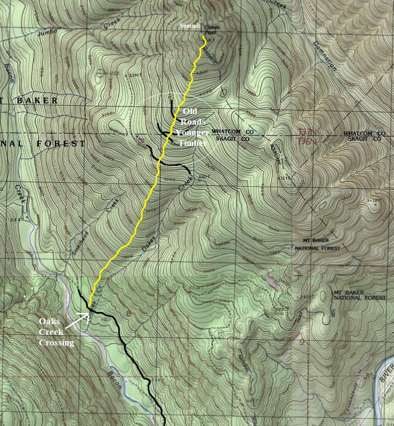
Oakes is known as a forested, avalanche free hike that is usually climbed in winter that has a big payoff at the top. Just to be clear, there is 5,000 feet of gain with no trail just for a view at the very end. In summer, it might be possible to drive roads some of the way.
Oakes Peak
Access:
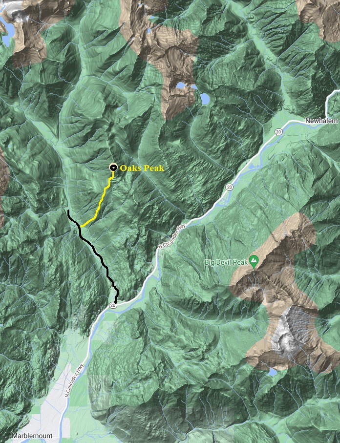
From Marblemount, follow Highway 20 towards Newhalem for about 5 miles. Turn left onto Forest Service Road 1060 just before entering the National Park. Folow this dirt road with many potholes until reaching Oaks Creek. It will be the creek with a concrete water crossing. Park off to the side just before or after the crossing.
Route:
Start up the forest on the west side of Oaks Creek. Keep the creek to your right and stay high above it on the rib. The forest is mostly open with the occasional boot path forming. At 3,500 feet is the first road crossing and start of the younger stand of timber. After several more road crossings, the route eventually goes back into larger timber and gets steep the final 1,000 feet of gain.








Diobsud Buttes and Bacon Peak from a road crossing
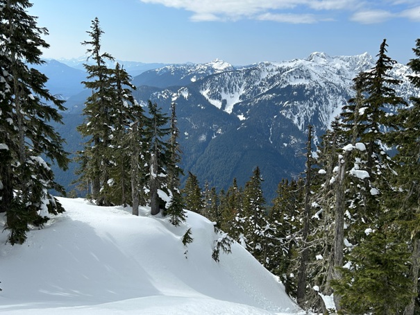
There are a few views during the last 800 feet
Mt. Triumph
Mount Baker
Mt. Blum on right with Shuksun in distance on left
Jack Mountain and Crater Mountain
Looking south to Marblemount and Whitehorse Mountain in the distance
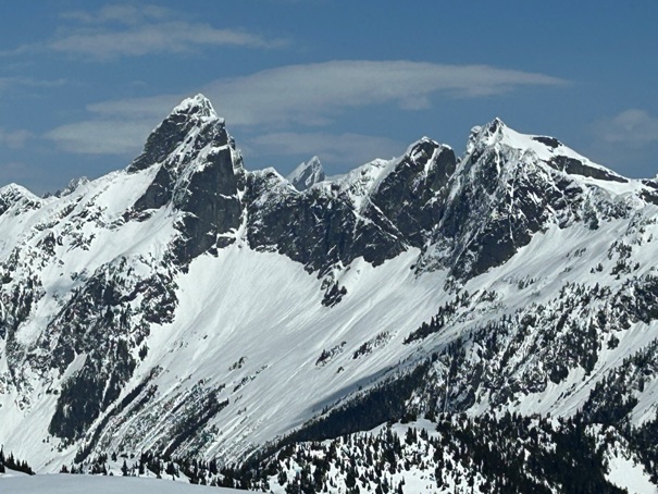
Pyramid, Pinnacle, Paul Bunyans Stump, Colonial and Snowfield. You can also see the burn scar from the 2015 Goodell fire above Newhalem. Photo taken in March 2023.
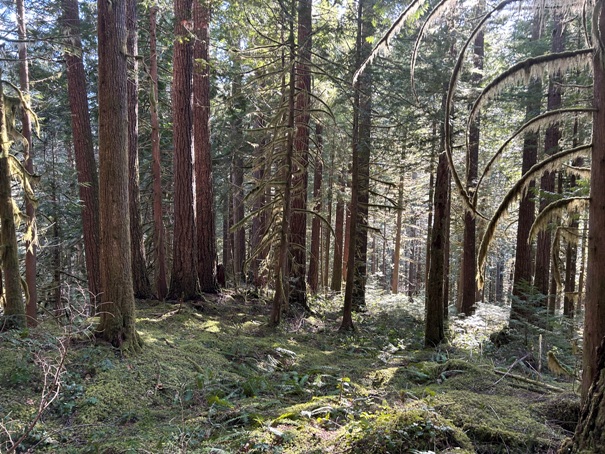
Nice forest near the start of the route.
Helens Buttes
Big Devil Peak


