Florence Peak
WillhiteWeb.com
Summit Elevation: 5,508 feet
Hiking Distance: 4.7 miles one-way
Elevation Gain: 3,800 feet
Access: Paved
Located above the Carbon River Entrance to Mt. Rainier National Park, this is a little advertised peak with outstanding views. The catch is a long forest hike that only reveals the views at the very end on the summit. But, the approach on the Boundary Trail is a nice well built trail and the climbers trail along Alki Crest is brush free through the forest. With the low elevation start and year-round access, this peak can make for a good winter trip if the fresh snow is not too deep.
Access:
Route:
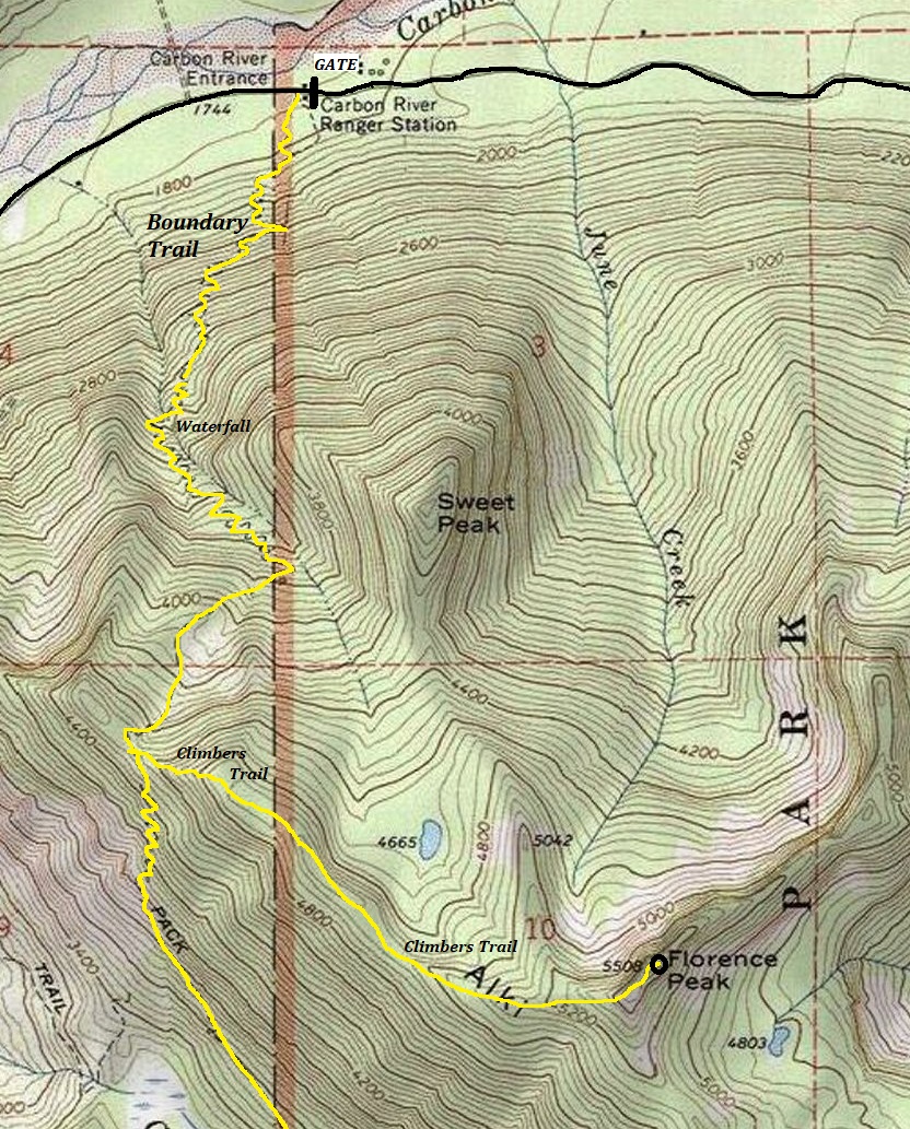
At the entrance station is a 0.3 mile Nature Loop Trail. Take the right fork of this trail. After about 3 minutes on the Nature Loop is an intersection. Go right and you are now on the Boundary Trail. It will start climbing as soon as you are off the Nature Loop. Just follow the trail up to Alki Crest. At the obvious crest, look for a climbers trail going East toward the peak. Just follow this trail, or trails, as they stay on the ridge for the most part and eventually reach the rocky summit of Florence. There is a false summit with as good of views as the true summit but both are easy scrambles.
Go to the Carbon River Entrance of Mt. Rainier National Park.
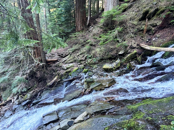



Crossing of the creek with no name
Creek with no name falls
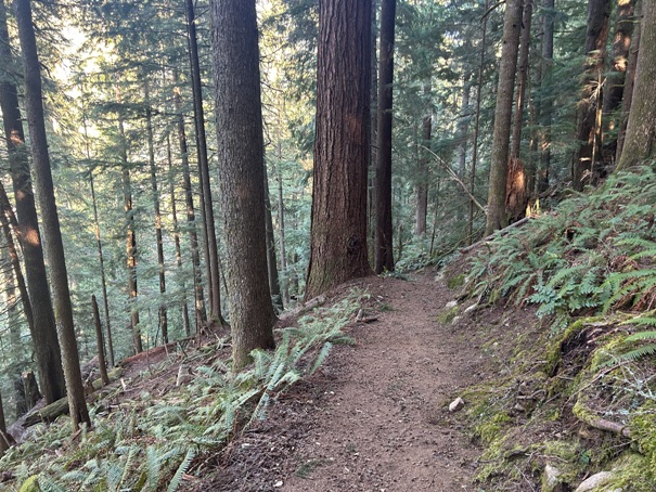
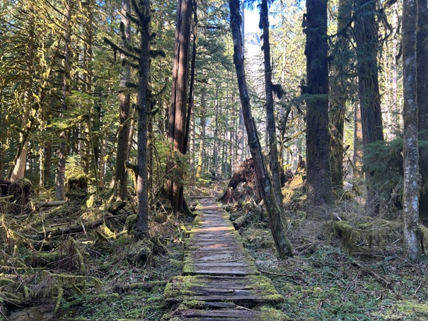
The Boundary Trail
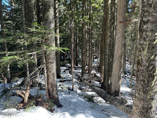
Alki Crest route
Entering along Alki Crest
Rain Forest Loop at the start
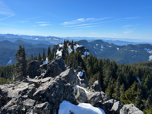
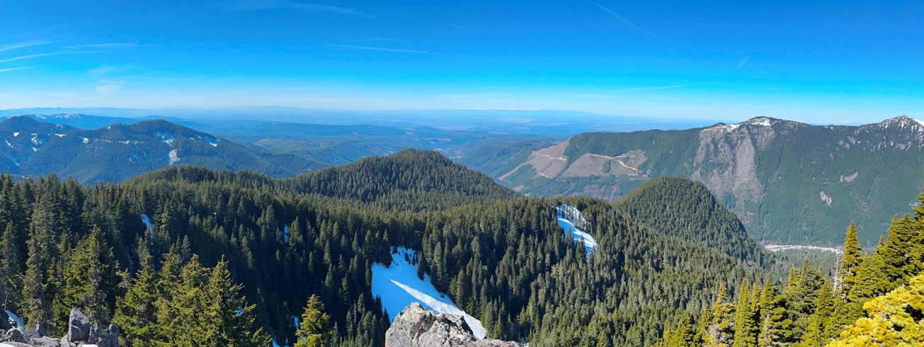
Looking East over Puget Sound
Looking South
On the false summit with the true summit on right
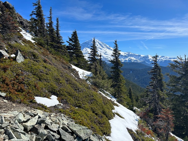
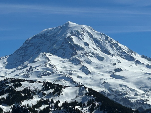
Mt. Rainier
Looking south and the false summit
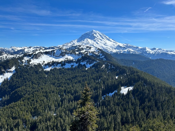
View of Mt. Rainier over Tolmie Peak
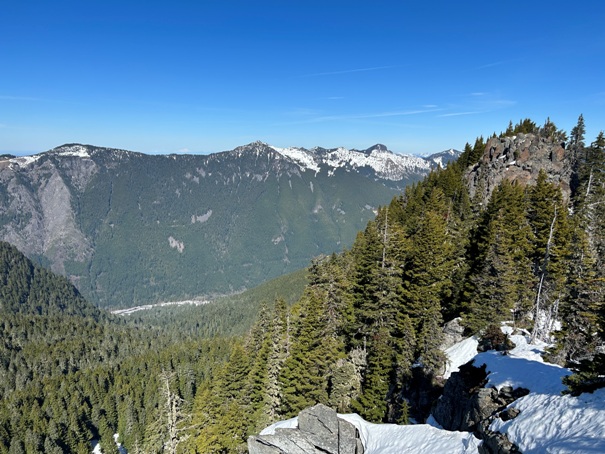
First views near the summit

Mt. Baker
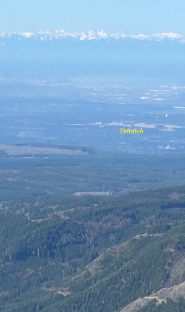
Newest cleared land for the Tehaleh development


