Anaconda Peak (Gordon Ridge)
Summit Elevation: 5,035 feet
Distance: 3.3 miles one-way
Elevation Gain: 3,752 feet
Prominence: 842 feet
Access: Paved, no permit needed.
Anaconda Peak is a lesser climbed peak off the Mountain Loop Highway that makes for a safe winter climb. The route higher up stays on forested ridges making travel in unsafe conditions possible. The forest does get steep up high so some skills with an axe and crampons or snowshoes is needed. In other words, bringing a noob could be risky, climbing skills recommended. The first half is through very nice second growth forest with old growth up high on the mountain when the route enters the Boulder River Wilderness.
Marten Creek Access:
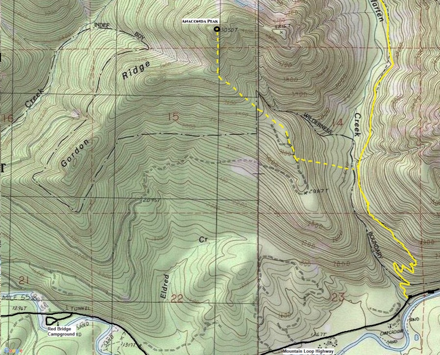
The Marten Creek Trailhead is about 2.5 miles past Red Bridge Campground. The trail leaves directly from the highway (easy to miss) with parking on the left for a few cars where the trail leaves. There is more parking just a bit further up the highway on the right with a view of the river. There is no parking pass needed for this trailhead as no facilities are present.
Red Bridge Access:
In the past, others have climbed by hiking (or driving) the road across from Red Bridge Campground. Where the road ends is where the Martin Creek access route merges in. This road may now be overgrown, washed out, or the road may be gated. I do not know.
WillhiteWeb.com
Water Crossing:
This route crosses Marten Creek after hiking 1.25 miles on the trail. Crossing has been tough in the past when water was running high. There was a good log crossing when I did the route.
History:
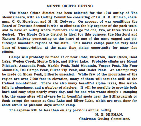
Although the name has not appeared on any maps, the Mountaineers used the name Anaconda Peak as far back as 1918. See image from their 1918 Monte Cristo Outing.
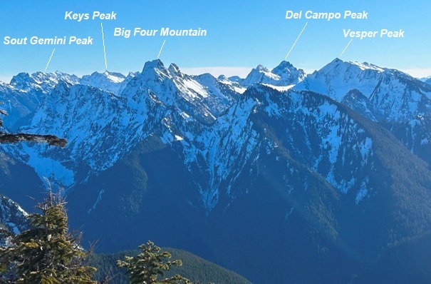
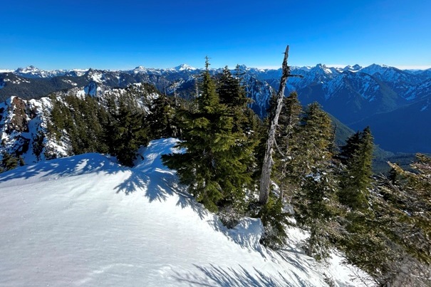
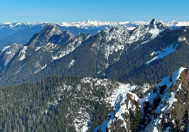
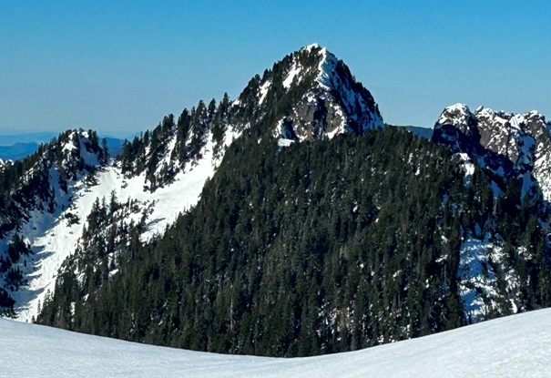
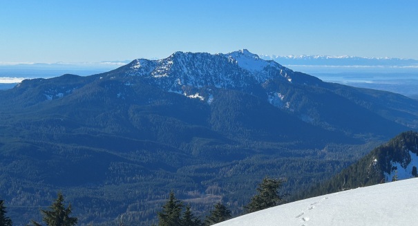
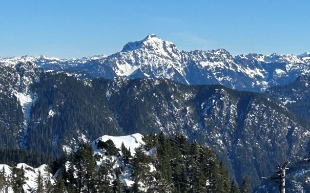
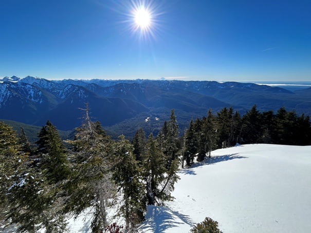
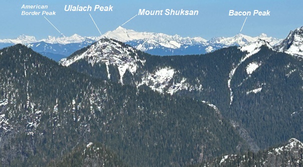
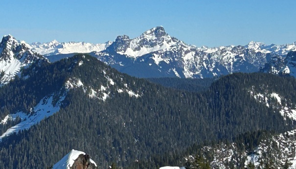
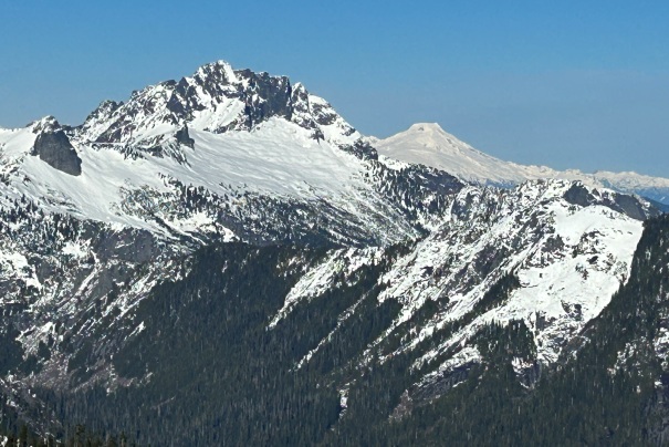
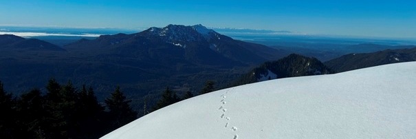
Monte Cristo area
Looking south to Mt. Rainier
Mount Pilchuck
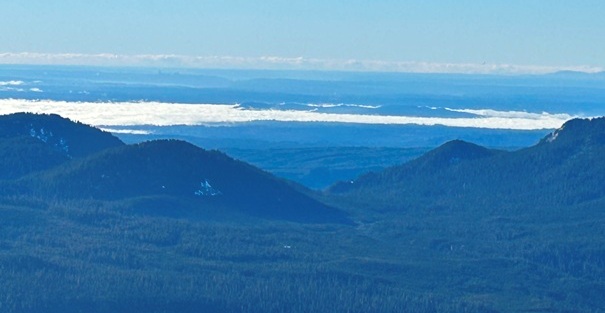
Puget Sound area
Mount Pugh
Sloan Peak
Fletcher Peak
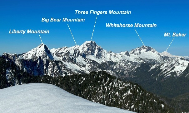
Liberty Mountain
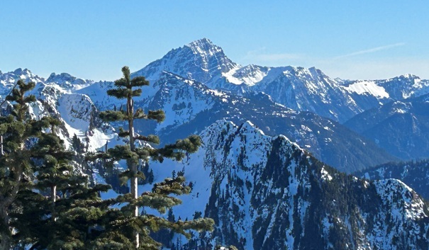
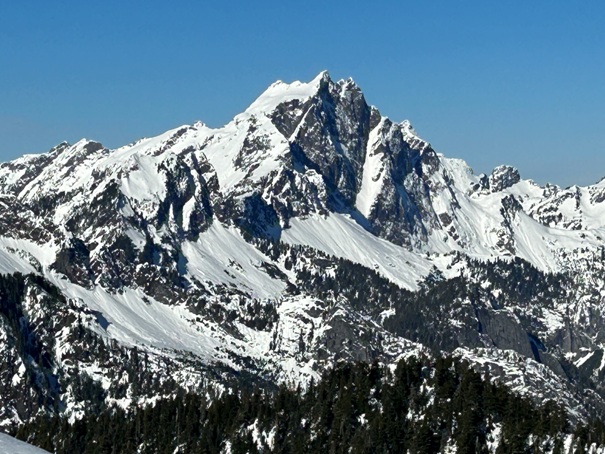
Three Fingers Mountain
Looking North
Looking East
Looking NE
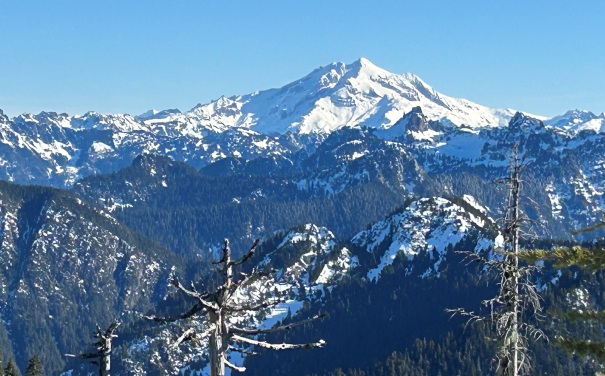
Glacier Peak
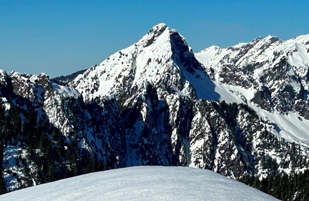
Jumbo Mountain
Whitehorse Mountain and Mt. Baker
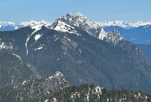
White Chuck Mountain
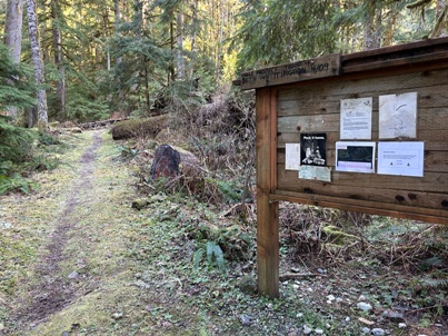
Trailhead sign
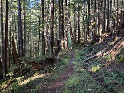
Marten Creek Trail
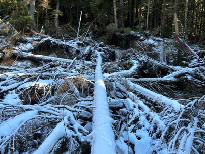
River crossing
Mountaineers Annual 1917


