Twin Lakes Lookout Site
WillhiteWeb.com
The Kresek Inventory says there was a 1930s camp called Twin Lakes. The location is thought to be Point 5301. No artifacts have been found on the site. The location is a rocky summit that most likely was tree free during the 1930s. The few trees on top that block the north view are not very old. It appears a old burn may have occurred at the summit.
Lookout Elevation: 5,301 feet
Hiking Distance: 3.75 miles one-way
Elevation Gain total: Well over 5,000 feet
County: Jefferson
Prominence: 581 feet
Other Names: February Peak, Twin Lakes Benchmark
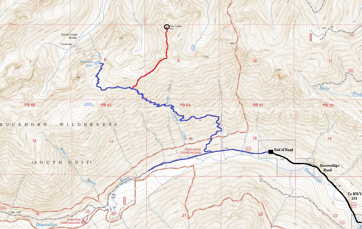
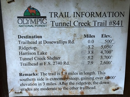
From Highway 101, drive the Dosewallips Road to its end. Walk the trail (old road) about a half mile to an unsigned trail on the right. This is where the Tunnel Creek Trail starts.
Access:
The Tunnel Creek Trail climbs steeply to the ridgeline. Leaving the trail a bit early can get one to the ridgeline faster. Follow ridge to the summit, traversing over a few knobs. Terrain is suitable to skirt below if the ridge gets to rocky. With no snow, the ridge is quite brushy and thick with trees in places.
Route:
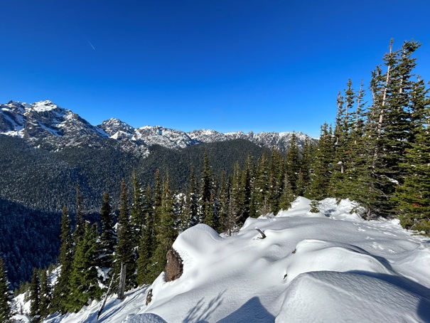
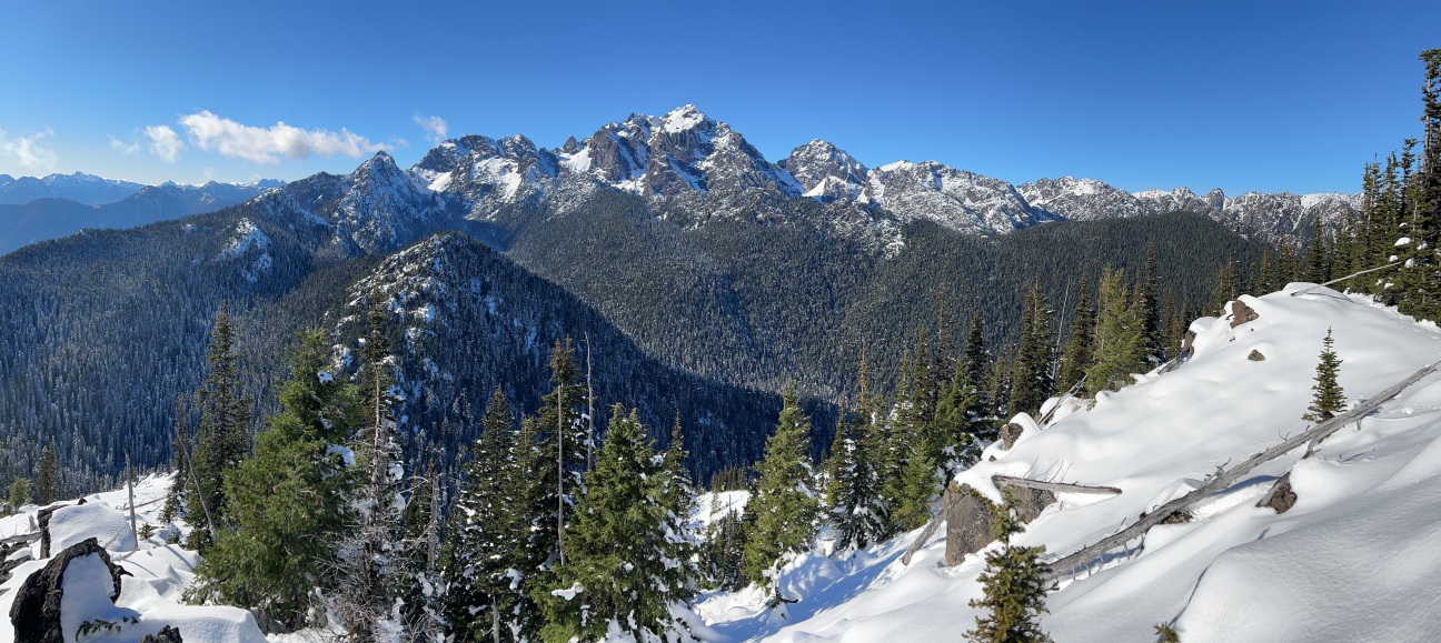
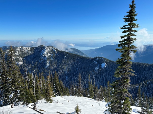
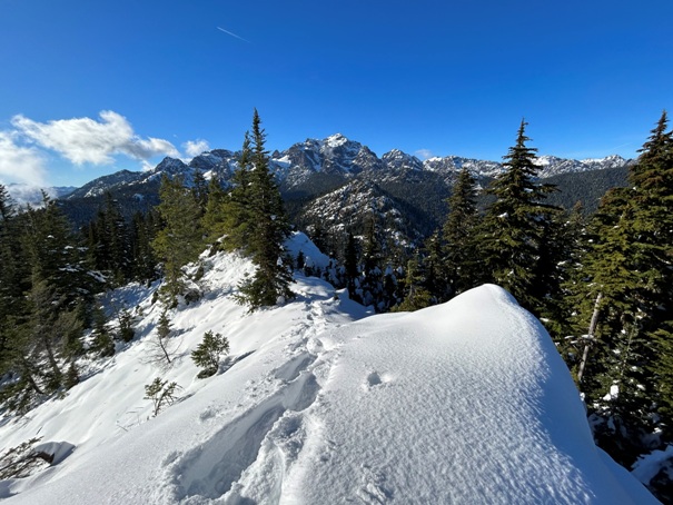
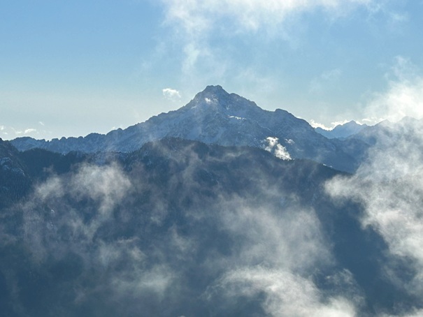
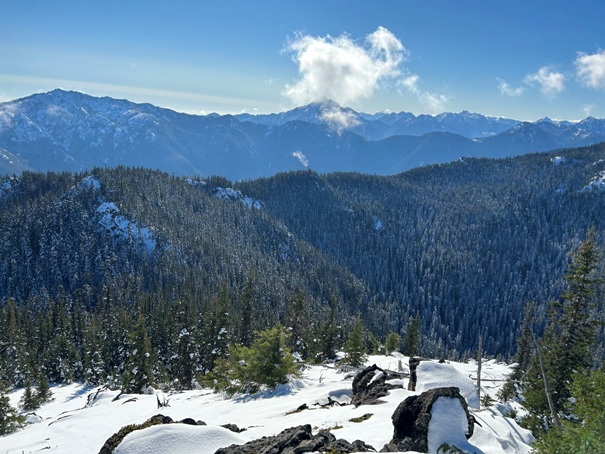

Mount Constance and Warrier Peak, then the peaks in detail below.
The Brothers
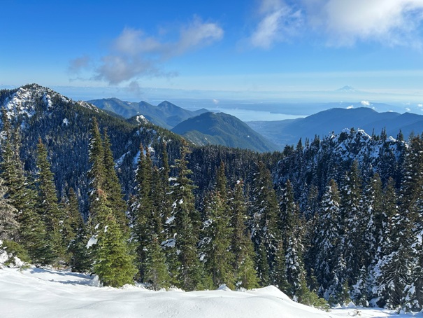
Hood Canal and Mt. Rainier from the summit
South from the summit with Mt. Jupiter on left and The Brothers in the center
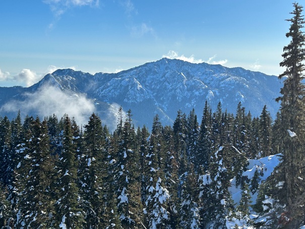
Mt. Jupiter
View to the Southeast on the way up
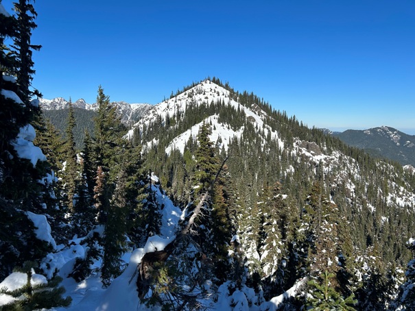
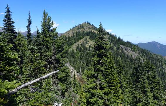
The summit from the ridge in route
Hiking the ridge just before the turn North
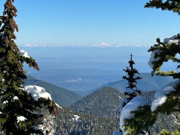
Glacier Peak and Puget Sound
Buckhorn Wilderness
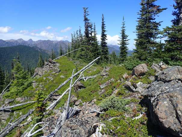
Summit in summer (Jeff Ruckle photo)
Summit in winter
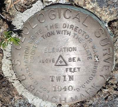
Twin Benchmark (maps show Twin Lakes) No data sheet found.
The summit in summer (Jeff Ruckle photo)
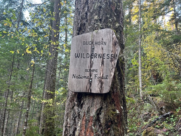
A sign near the start of the Tunnel Creek Trail. Sombody scratched out the miles as if they are incorrect.


