Pinnacle Peak/Mt. Peak/Mt. Pete
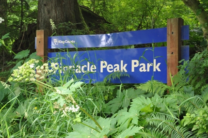
The most popular hike up a mountain in South King County is Pinnacle Peak. Often called Mount Peak or Mount Pete by locals. It used to be called Mt. Pete as Pete Blascheck lived on the south side of the mountain and people thought he owned it. Pete died January 24, 1947 and lived there over 50 years. King County Parks has made it a park and slowly acquired more property to protect this little knob that sticks out of the Enumclaw flatlands. The main parking is on the South side of the mountain has a full trailhead with parking, interpretive signs and restrooms. A viewing lookout is planned for the summit in the near future.
Access:
There are two trailheads. The most popular spot is on the south side off SE Mud Mountain Road.
Distance: 1 or 2 miles depending on route
Summit Elevation: 1,801 feet
Elevation Gain: 1,000 feet
Access: Paved Road
Route:
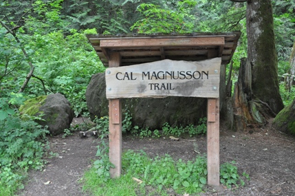
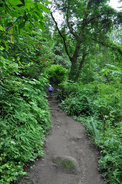
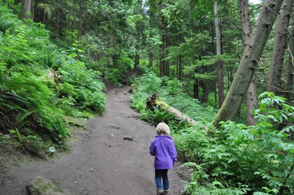
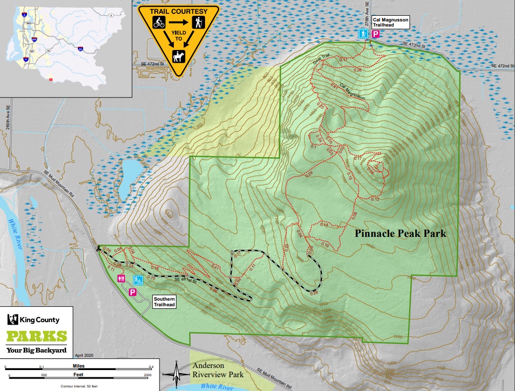
From the north is the Cal Magnusson Trail. Several side trails branch off but most find their way to the summit without a map in hand. A steeper alternate trail leaves from the same trailhead but is not as obvious. The popular south side trails have a main route following a road half way, then trails to the top. There are numerous side trails off the main route to separate the crowds. The map below works well to follow all the choices.
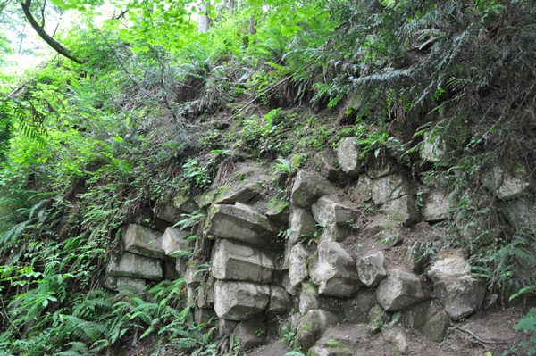
Columnar basalt near the summit
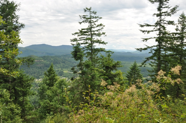
A view to the east just below the summit
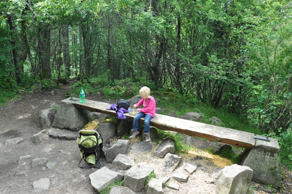
Lunch on the summit 2014.
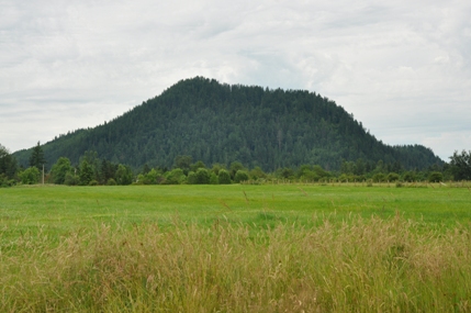
View of Pinnacle Peak from Enumclaw.

WillhiteWeb.com
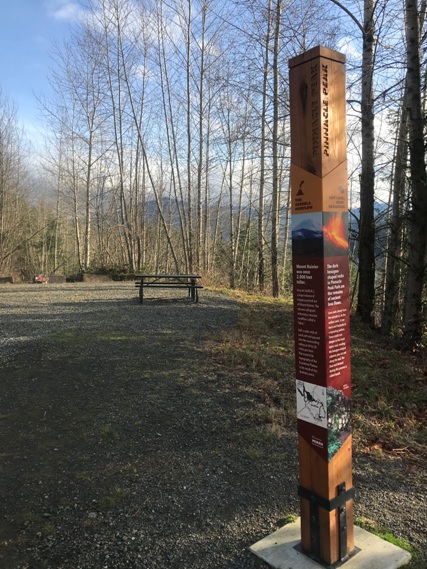
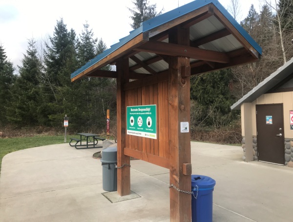
Southern Trailhead in 2021
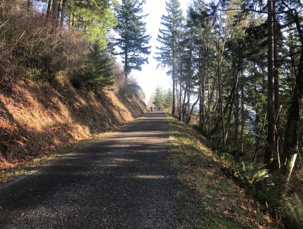
Southern main road trail
Southern road has interpretive signs along route
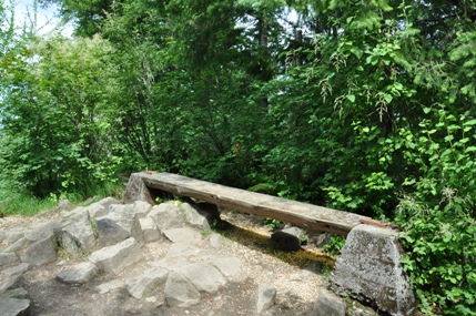
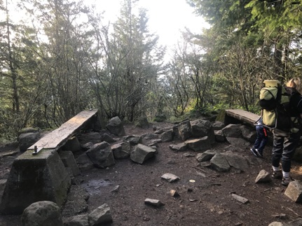
Bench at the summit between old lookout footings
View from the southern road route
Summit in 2021
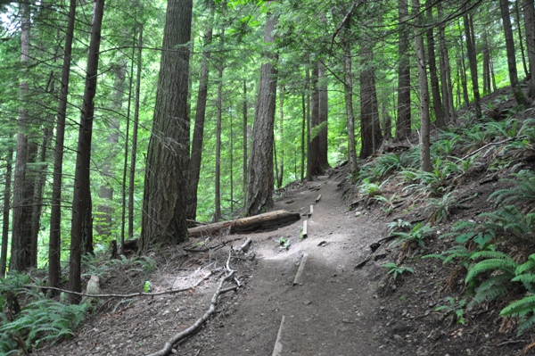
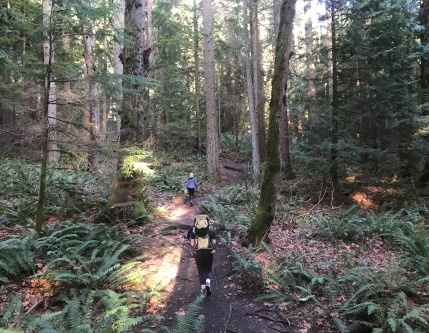
South side trails near summit


