Lookout Mountain - Whatcom Lookout Site
Lookout Mountain is on the east side of Interstate 5 as you approach Bellingham from the south. With Lake Whatcom on the other side, the uplift makes it the 110th most prominent peak in Washington. The long mountain has three highpoints, each of which had a fire lookout tower at some point. The Lookout Mountain Forest Preserve offers an excellent trail to two of the former lookouts sites. Both are now communication tower sites and offer very few views. Although the hike is on a road, most of the trek is in a protected forest with portions that will reach old-growth status within our lifetimes.
Elevation: 2,677 feet
Distance: 5.5 miles one-way
Elevation Gain: 2,200 feet
Access: Paved
WillhiteWeb.com
Access (From South)
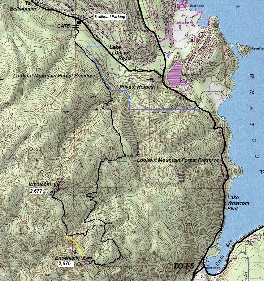
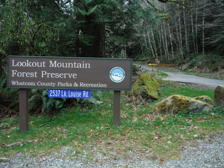
Take Exit 240 (Alger exit) and head east. In about a mile is a 4-way intersection. Go straight across and follow the Alger-Cain Lake Road for 4.8 miles. Next turn left onto Lake Whatcom Blvd. Follow for 2.9 miles to a left turn onto Lake Louise Road. In 1.3 miles you will see the signs and parking area on the left.
Route
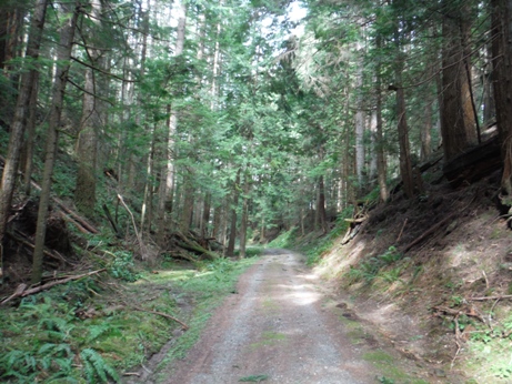
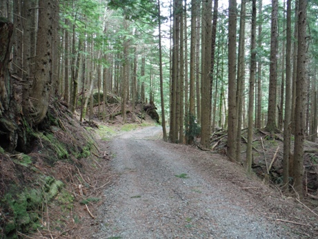
Hike or bike the main road for approximately four miles avoiding side trails until reaching a "Y" road intersection. To the right is 1.5 miles to the Whatcom summit and lookout site, to the left is 1.0 miles to the Entwistle summit and lookout site. A mountain bike trail connects the two summits on the summit ridge completing a loop. Be sure to visit both.
Lookout History
In 1931, the 80 foot lookout tower was constructed.
The 23rd Annual Report of the Washington Forest Fire Association explained how. "The tower on Whatcom Mountain is 87 feet in height, and the bents were constructed and braced on the ground and then raised. The tractor, a Caterpillar Fifteen, had ample power and at no time did it balk but pulled its given load to the full." It went on to say that Whatcom County is not easy to "develop a perfect lookout system, owing to its parallel system of mountain ranges. The site finally selected gives a satisfactory outlook and ties in well with the Skagit Lookout. Because of topography, it was a high tower, being 80 feet from ground level to floor and 89 feet over all. The bents were erected from single trees having 20-inch butts and six-inch tops. These were cut within half a mile of the site and skidded into place. The crew was the Whatcom and Skagit County fire patrol crews, which did all the framing and erecting. Considering the work was done with what material was at hand, and the difficulties of transportation, a very splendid job was done. A single ladder was secured to the framing as a means of ascent. One leg of this ladder forms the door jamb; a sliding door, some three feet high, forms the means of ingress and egress. Suitable handholds are placed on the entrance and on the floor inside as a safety measure. The Lookout chamber was formed by continuing the uprights to the desired height and a roof placed on top, windows formed and put in place. The whole was guyed with wire rope donated by Bloedel-Donovan Lumber Mills, while Messrs. Wood and Knight donated the site.
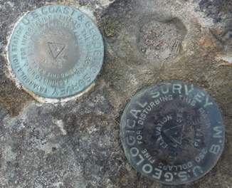
The summit of Whatcom was monumented by the USGS in 1926 on this large landstone rock 25 feet in diameter and 7 feet high
Whatcom Lookout - 80 foot wooden tower with a 7x7 foot cab
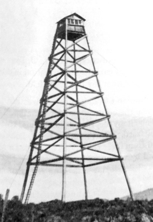
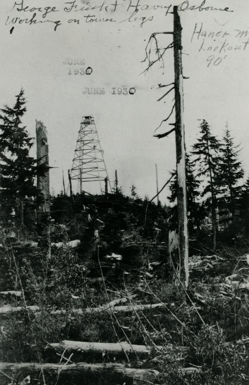
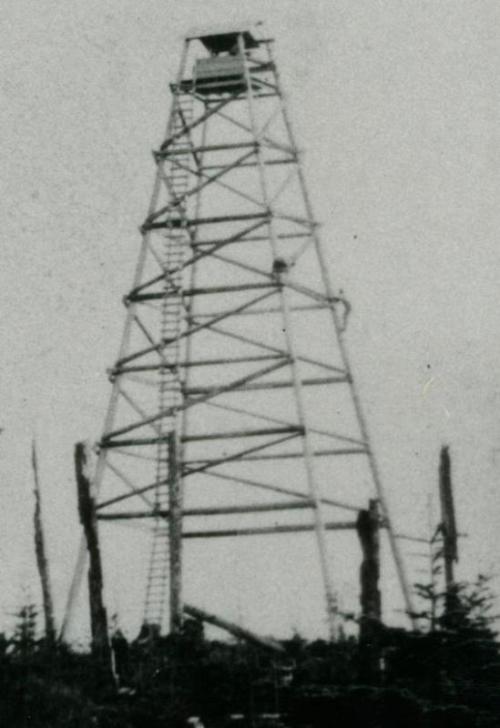
June 1931 under construction, you can see George Harvey Osborne working on the tower legs. See image below for full version.
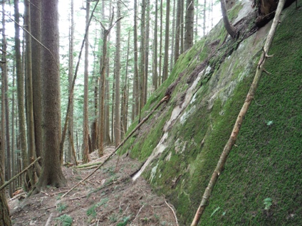
Don't miss this rock step you get to ride your mountain bike down
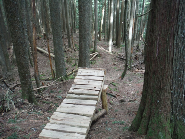
As you descend the ridge between lookouts, be sure to fly your bike between the trees in the process. The vertical drop is much further than it appears.
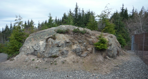
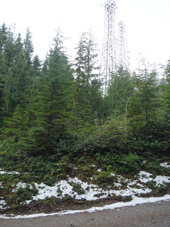
The image to the left was taken from this location about 2 minutes before reaching the site.
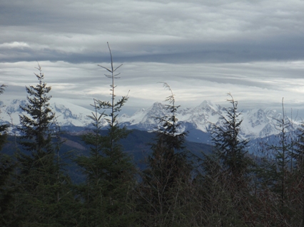
A view near the summit of Whatcom east to Mt. Baker
The June 1931 stamp was written over with 1930 but I think the 1931 was correct based on the written information in the 23rd Annual Report of the Washington Forest Fire Association. The person also wrote Haner Mountain Lookout 90 feet tall. Haner Mountain has been used for Lookout Mountain and the mountain on the other side of Whatcom Lake.
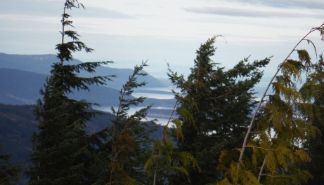
Disappearing views from Whatcom
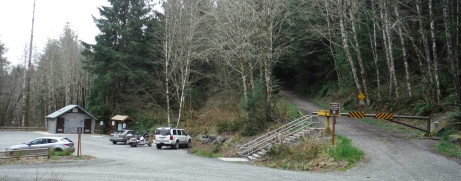
Trailhead parking area and gated road to hike/bike
Entwistle
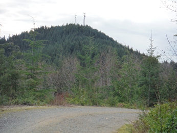
The AWS during WWII often called the station on Galbraith Hill the Whatcom Site. This makes it a bit confusing but the AWS was not at this location on Whatcom Peak. Below is the link to Galbraith Hill Lookout, which technically is part of Lookout Mountain.


