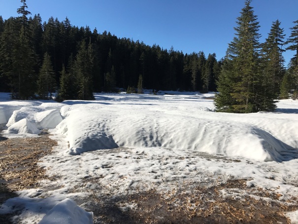

Mt. Higgins Fire Lookout
WillhiteWeb.com
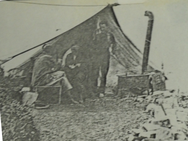
In 1918, Higgins was a camp lookout that probably started 2 years prior according to a 1918 mountaineers article.
In April of 1920 a contract was submitted to build a cab on the site.
In 1923, on July 15, an earthquake was in the vicinity of Darrington. The lookout on Higgins reported that the shocks sent rocks and timber rolling down the mountainside.
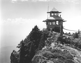
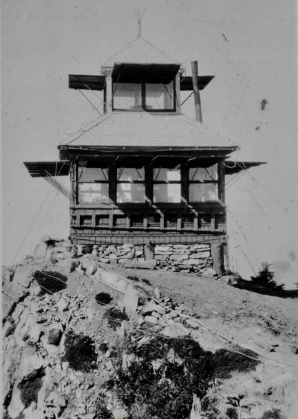
In September 1923, the construction of the cupola cabin on Mount Higgins had finished, which is a much needed improvement according to the newspaper.
In September 1933, "At 9:00 p.m. the lookout on Mt. Higgins reports a fire at the edge of an old slash burn. At 9:03 p.m.-two trucks loaded with 35 CCC men, tools, pumps and hose leave Darrington Ranger Station for the fire. 9:09 p.m. the Mt. Higgins Lookout reports trucks at the fire as he can see the headlights of the trucks, 9:11 p.m. Mt. Higgins Lookout reports fire apparently out. Distance from the Ranger Station to fire was five miles." (Six Twenty-Six)
In 1935, panoramic pictures were taken from the lookout cupola.
Also in the mid-1930s a lookout named Whalen went out at night to hunt for three boys reported lost on the mountain. He found them in a state of hypothermia, so he brought them to his station and stoked the stove so red hot it set the roof on fire. He duly reported the blaze the next morning and was given credit for a record-time initial sighting and extinction.
In the late 1930s, on Three Fingers, one day using his 40-power telescope, Harland Eastwood focused in the Mt. Higgins Lookout manned by Bob Craig. He went to the phone and rang the unsuspecting lookout. "See here, young man", he exclaimed in mock indignation, "don't you know it's indecent to lie outdoors where people can see you like that?" According to Catherine, "It was a very startled young nudist, thinking himself miles from nowhere, who answered the phone."
In 1950 a USGS party reported Higgins Lookout House as a standard 12-foot square, wood constructed building which is painted white, with a 6-foot square cupola on top. They give driving and hiking directions to the site and mention that a new trail was under construction to the lookout and should be finished by the end of the year. They also mention a shelter cabin on the trail in route up.
In 1951, August 23rd "The fire, which started suddenly Friday afternoon, was discovered and reported by the lookout on Mt. Higgins, at about the same time that the watchman at the P.S.P.&T. workings reported it." (The Arlington Times)
Residents of the small community of Hazel, located directly below the lookout, recall the last "lookout man" as playful. At night he would shine his light below at the small settlement and they in return would shine their flashlights up above at him.
In 1950s the lookout was abandoned at some point.
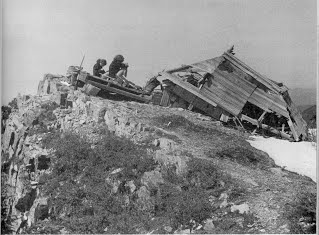
In 1965 or sometime around 1965, the lookout collapsed under a heavy snow.
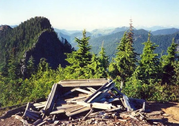
The ruins of the old lookout are still on Mt. Higgins melting away with time.
Lookout Elevation: 4,849 feet
Hiking Distance: 7 miles one-way
Elevation Gain: 4,700 feet
County: Skagit
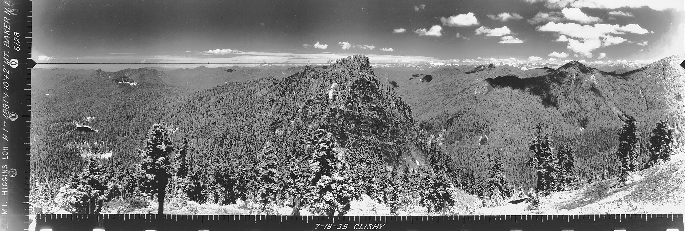

Looking North, July 18, 1935
Looking Southeast, July 18, 1935
Looking Southwest, July 18, 1935
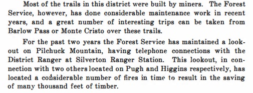
Higgins lookout tent in 1918
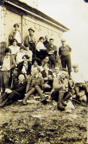
Mt. Baker Hiking Club at lookout, 1930ish
Mt. Higgins crushed
Mt. Higgins Lookout
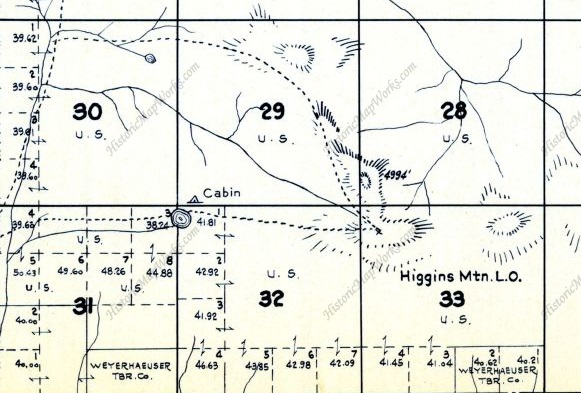
Metsker map
1918 article in the Mountaineers annuals
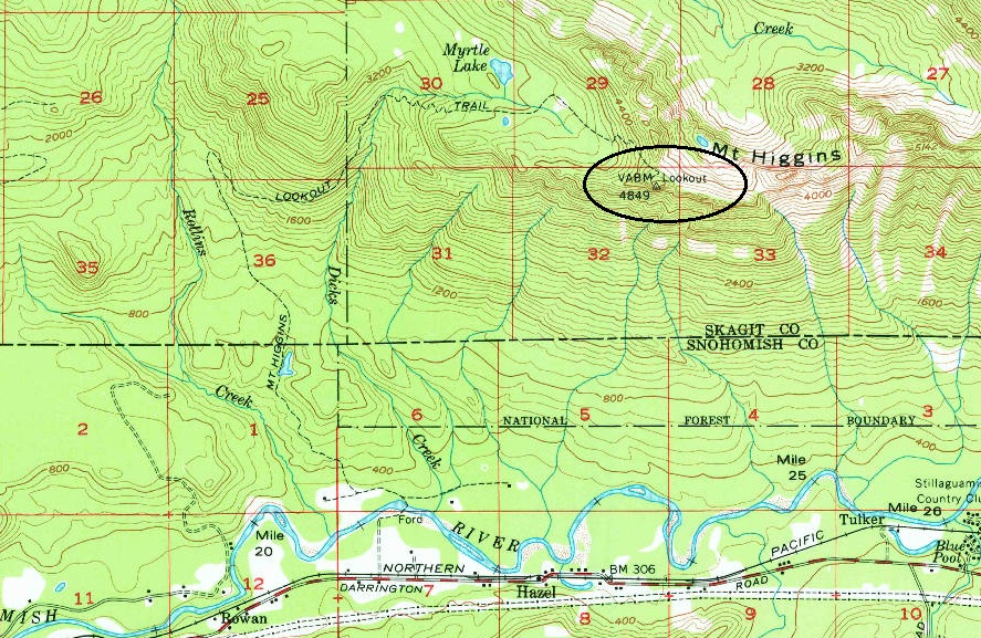
1956 USGS, 1977 update
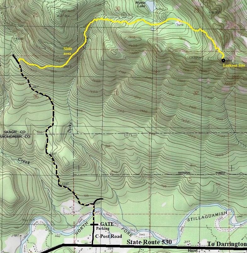
On State Route 530 in route to Darrington, take C Post Road just east of the Oso Memorial. Drive down the road to the gate, parking is to the left.
Access:
Walk or bike the gated road for about 3 miles. Be sure you take the first left after crossing the river and ignore all spur roads after. About 20 yards before the road is bermed, the trail takes off to the right. At first the trail follows an old road but soon becomes a standard trail. At 2,500 feet is a major landslide that must be crossed. At the landslide, the trail enters un-cut forest and becomes a very nice hike with big trees. The crossing of Dicks Creek has some minor washouts and can be tough in high-water. This is a good winter climb using snowshoes or crampons on the upper parts. There are a few small slopes to traverse but you can likely find safe passage in some trees below if conditions warrant. The only views are from the summit.
Route:
Lookout remains in 1991 (photo: Klenke)


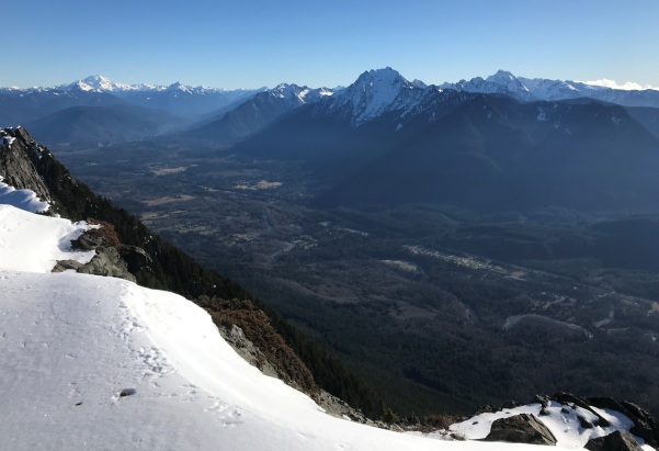
Looking Southwest, January 2021
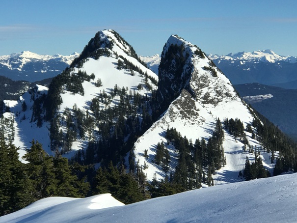
Looking Northeast, January 2021

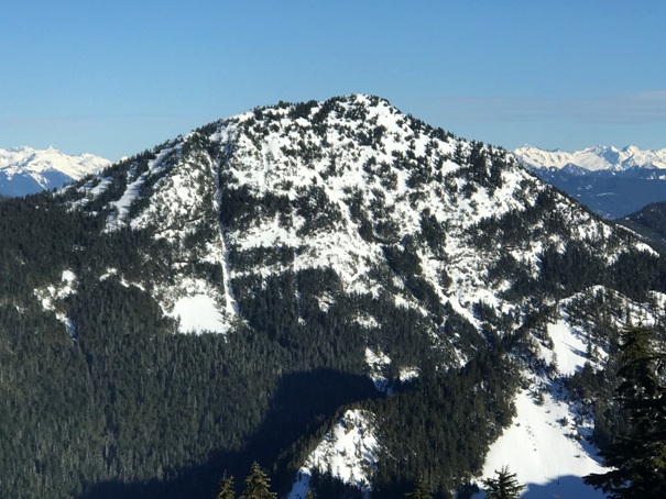
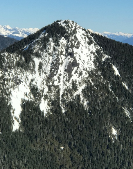
Orbital Peak
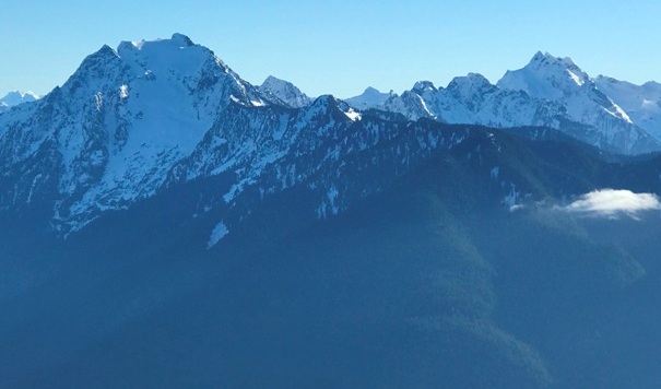

Landslide area
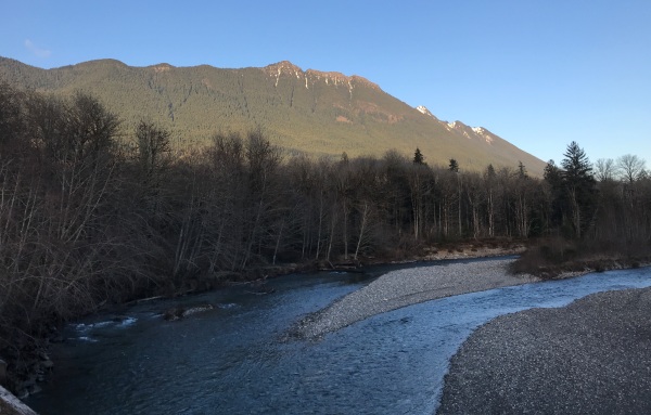
Mt. Higgins Lookout lookout site from the crossing of the Stillaguamish at the parking area
Open bog at elevation 3,676
Round Mountain from the lookout site
Whitehorse Mountain and Three Fingers Mountain
Big Deer Peak
McGillicuddys Peak
Route map as of 2021 with road walk (black with yellow dots) and trail route (yellow).
The first half mile of trail is on an old logging road. When this road ends, the trail narrows switchbacks up to the original trail where it crosses an open rock face with views down to the valley bottom. Apparently, on this rock face is the signature S. Strom 8-1917 and Nestle. Possible miners, trail builders or maybe original lookout people.
Note for future reference:
Looking up the Stillaguamish River Valley toward Darrington
Mount Higgins true summit and Skadulgwas Peak
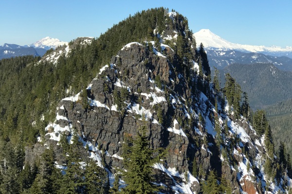
East summit highpoint from just below the lookout site with Baker on right and Twin Sisters on left.


