Mount Pilchuck
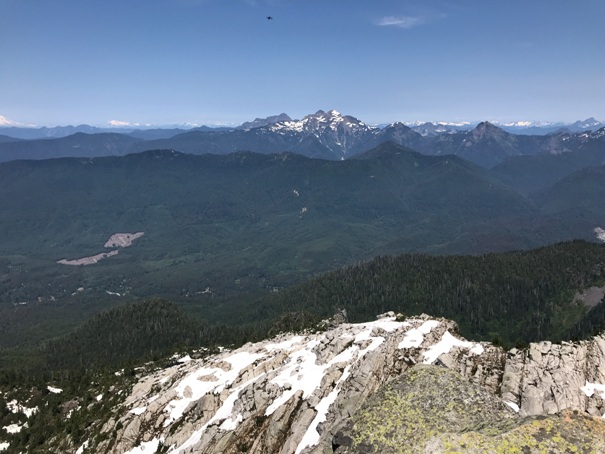
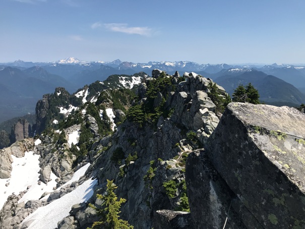
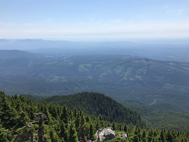
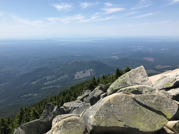
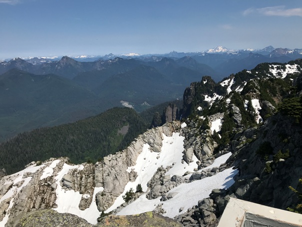
One of the best hiking trails for big views over Puget Sound is Mt. Pilchuck. The mountain stands well west of the main Cascades Range and is easily identified from the Puget Sound lowlands. From the summit, the views extend from Mt. Baker to Mount Rainier along the cascade front while to the west across Puget Sound lowlands are the Olympic Mountains. You will also travel through some old-growth forest on the way. On the summit, you are greeted with a fire lookout managed by Washington State Parks and maintained by volunteers from Everett Mountaineers. Plan on lots of company.
Summit Elevation: 5,327 feet
Hiking Distance: 2.5 miles
Elevation Gain: 2,200 feet
Access: Some high-clearance best, many potholes.
Access
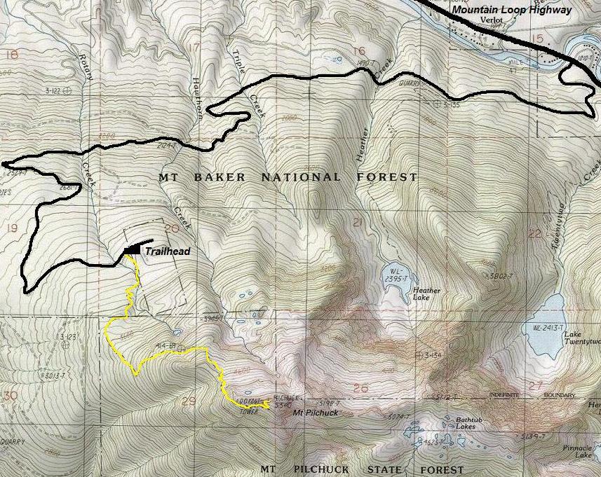
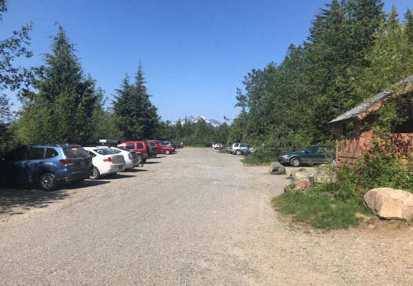
Take the Mountain Loop Highway to the Verlot Visitors Center. Continue another mile past the visitor's center, cross a bridge, then take the next right onto paved Mount Pilchuck Road, FR 42. Proceed 6.8 miles to the large parking lot. Quickly the pavement turns to a potholed gravel road that many find rough. The last mile is paved again before the trailhead.
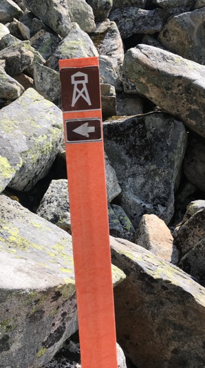
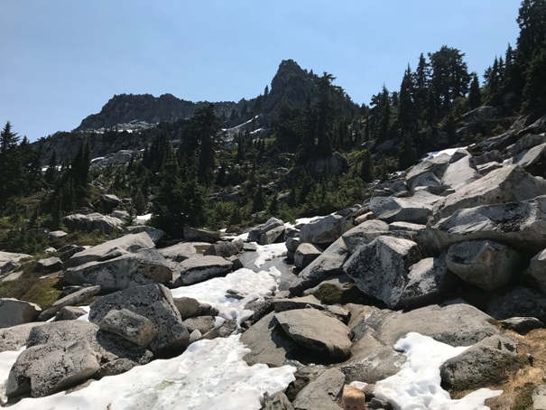
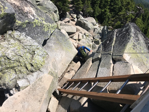
Hike the trail to the summit. A few boulder fields are crossed, look for orange markers that guide the way. Due to new hikers and sometimes incompetent hikers, search and rescue visits this mountain trail frequently, sometimes giving it a bad reputation.
Route
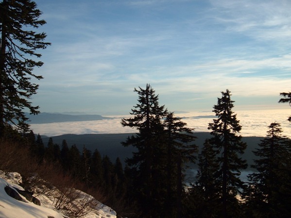
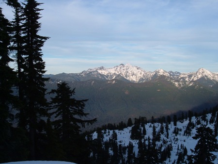
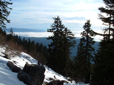
Hiking up the trail when it had snow
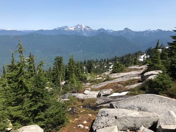
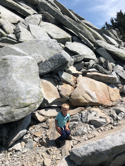
Looking south from the trail at first boulder field
Looking to Three Fingers Mountain from the trail
WillhiteWeb.com
Marine layer of clouds below

Parking lot when it was the ski area
Parking lot today with no ski area
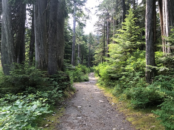
Trail near the start
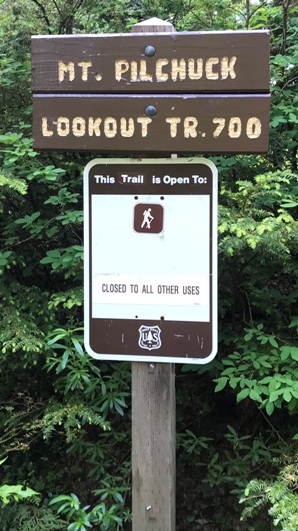
Trailhead sign
Follow these in the boulder fields
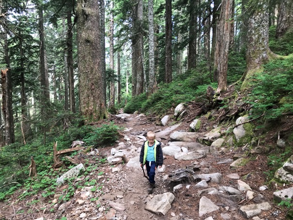
Forested hike section
Arriving in the alpine area
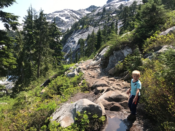
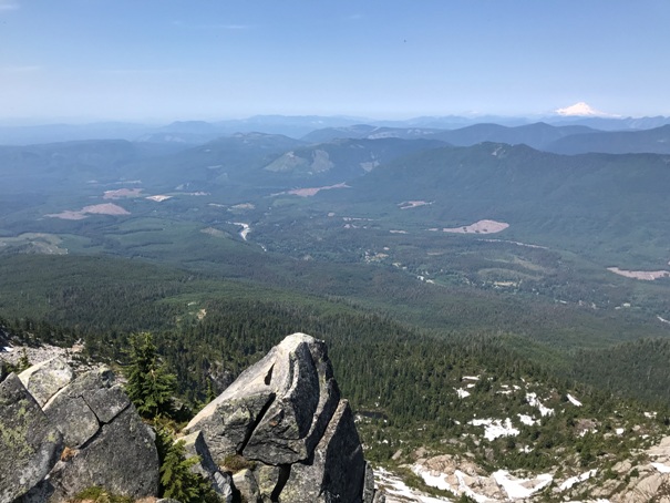
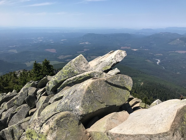
Views along the trail
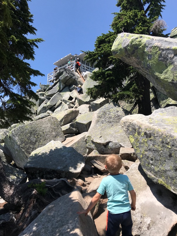
Looking up to the summit from the trail
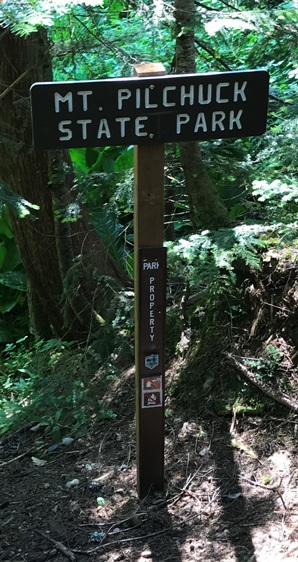
Entering the state park
Three Fingers Mountain in the distance
Arriving at the lookout house
Passing through a boulder field
Looking NW with Mt. Baker in the distance
Looking NW
Looking West with Puget Sound in the distance
Looking south with Mt. Rainier in the distance
Looking East with Glacier Peak in the distance
Ladder up to the fire lookout
Below: images from a spring visit in snow


