
Cypress Island Highpoint
WillhiteWeb.com
Elevation: 1,525 feet
Hiking Distance: 3.2 miles one-way
Elevation Gain: 1,525 feet
Kayaking Distance: 5 miles one-way
Just about everything is great about obtaining the highpoint of Cypress Island except for the actual highpoint itself. The kayak or boat ride is challenging, the trailhead is scenic, the trail is interesting, but the summit is covered in trees preventing any views. Most of Cypress Island is public land managed by the Department of Natural Resources as a conservation area.
Access:
Kayak or boat to the Cypress Head Campground on Cypress Island. We left from the free parking at the Guemes Island Ferry Terminal in Anacortes.
Route:
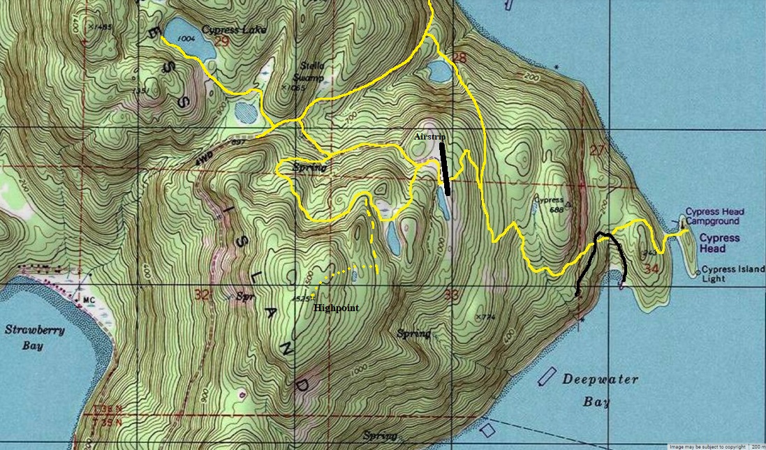
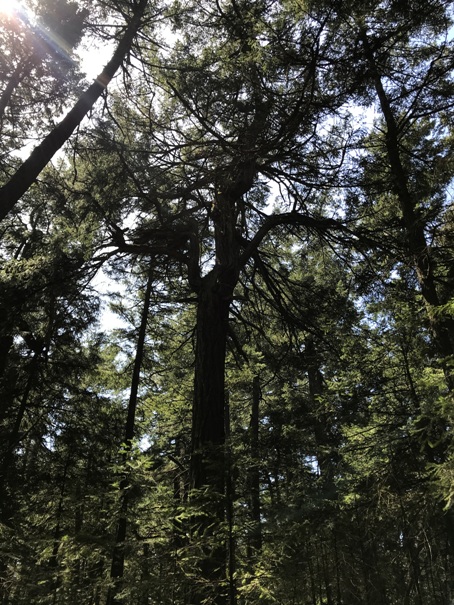
From isthmus at the campground, a trail leaves from behind the bathrooms climbing up onto the island. Follow this trail past some private property and minor roads to a trail split, go left soon arriving at an old airstrip (right is to Reed Lake). The trail is a bit faint in the airstrip but walk the airstrip a few minutes north to another trail split. Go left again, climbing up to Bradberry Lake. Pass the lake as it switchbacks up to a minor pass. Look for an abandoned road left. Take the old road to below the summit, then bushwhack to the summit. There is some old gnarly trees just south of the highest point that are interesting.


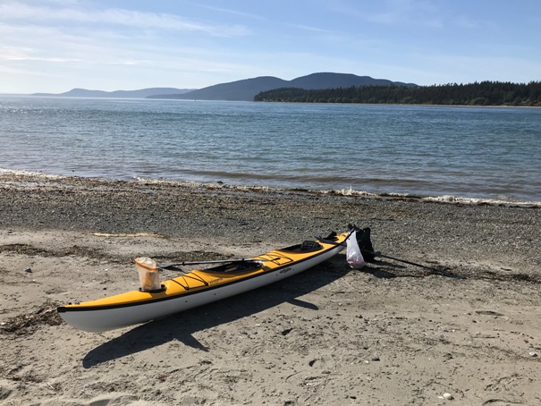
From our launch, looking at Guemes Channel and the highpoint of Cypress Island
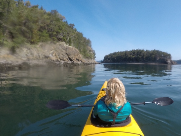
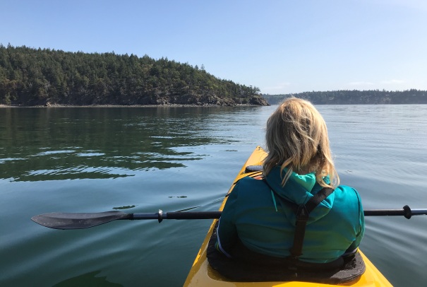
Nearing Cypress Head
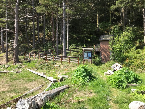
Trailhead at Cypress Head Campground
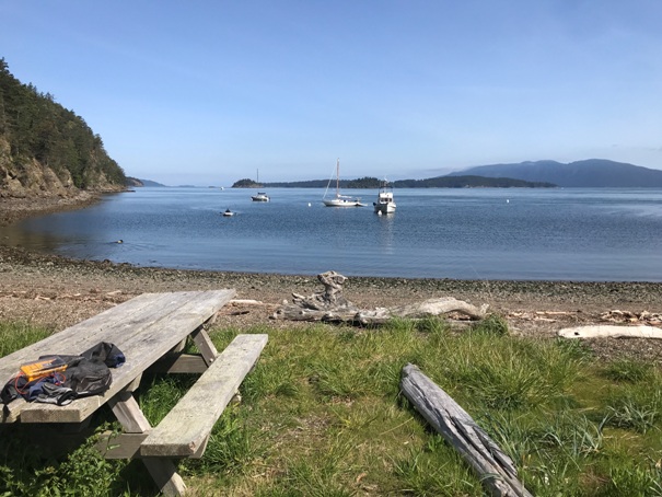
Picnic area on the isthmus
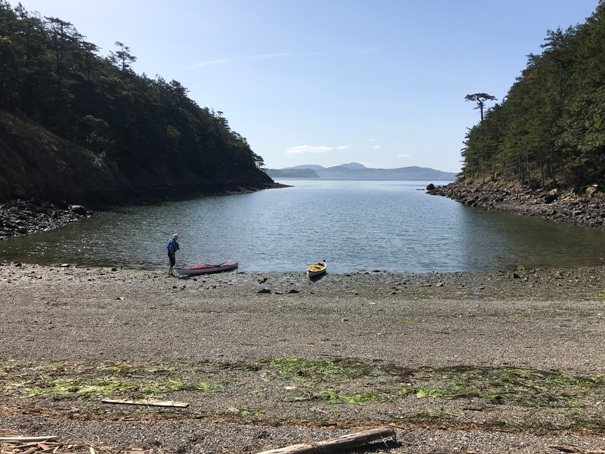
Arriving at the isthmus of Cypress Head
Old dump truck along the trail
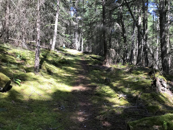
Many trails are old roads
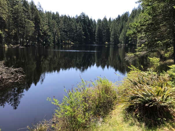
Bradburry Lake
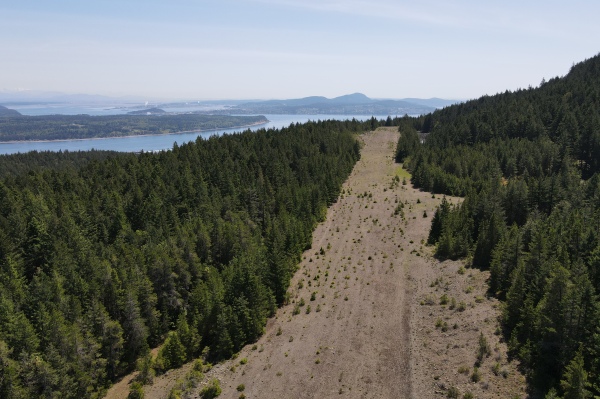
The old airstrip (from drone)
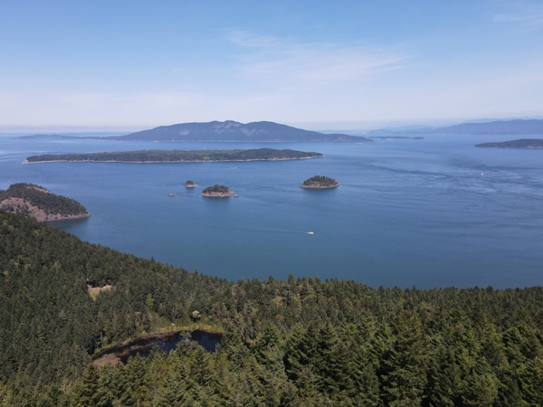
North to Cone Islands, Sinclair Island, Lummi Island (drone view from airstrip)
Looking North (drone view from airstrip)
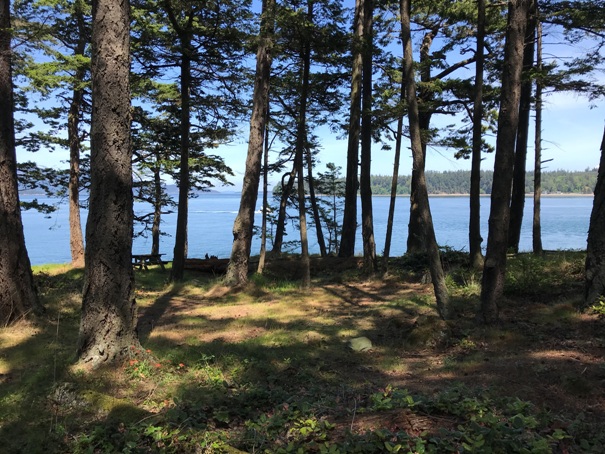
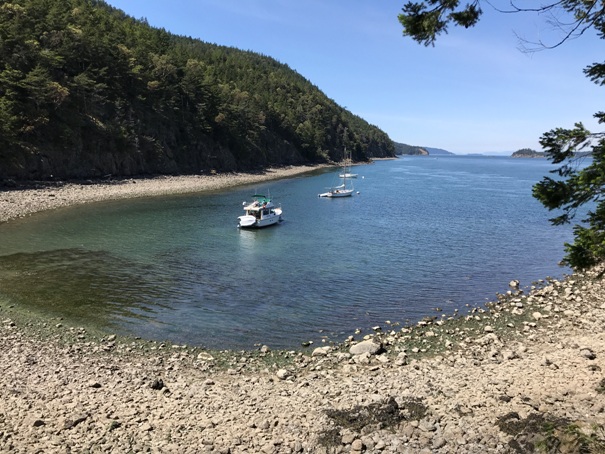
Looking north from the Cypress Head Campground
Cypress Head Campground
Cypress Head
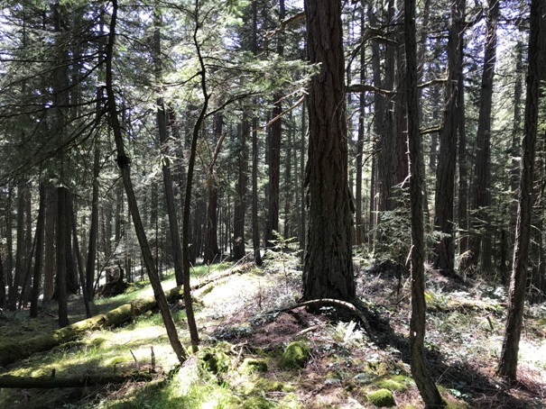
Big trees at the island highpoint
Island highpoint
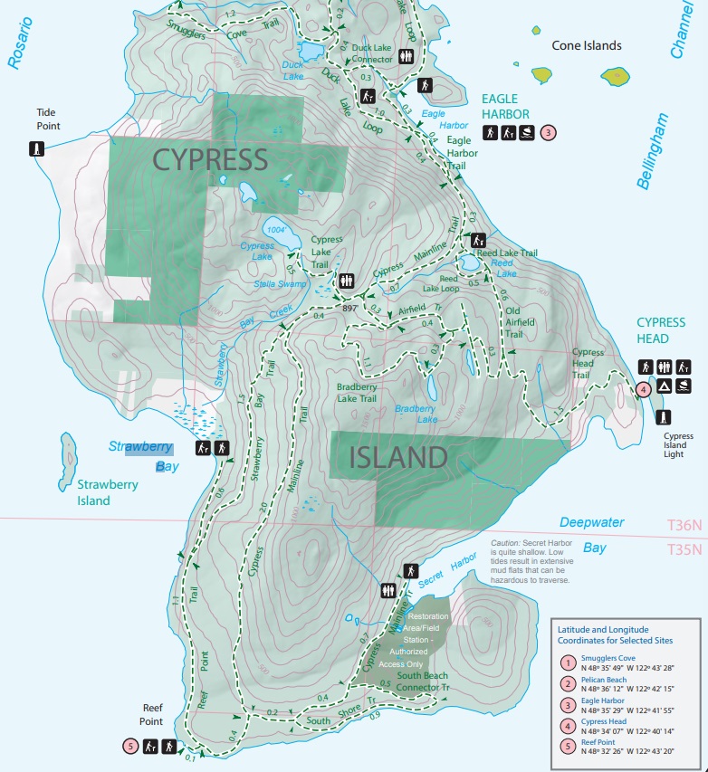
I drew in some trails on a topo map, trails are approximate.
Official DNR map of the island
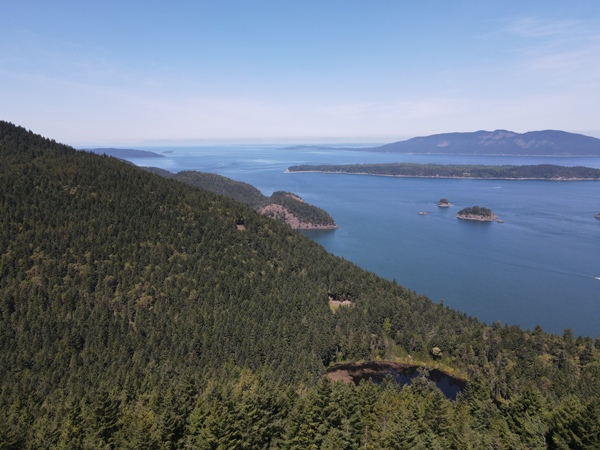
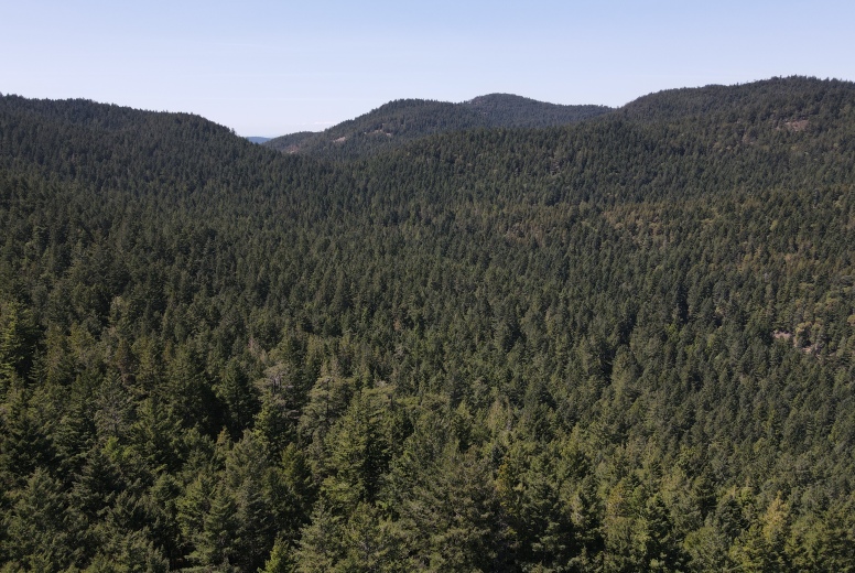
Looking at the inner island from a drone view above the airstrip
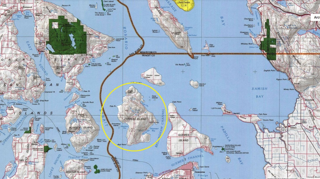
Cypress Island from the Anacortes Ferry to the San Juan Islands


