Coeur d'Alene Traverse
Hiking Distance: Somewhere appraoching 40 miles
Access: Paved drop-off and pick-up
As an introduction to this region of mountains, I put together this traverse because I had 3.5 days but no vehicle. You could go either direction and there are other places you could probably start or finish. But starting from the valley floor and ending on the valley floor makes this hike more memorable. I did this hike at the end of March hoping the snow would be consolidated enough. For the most part, thanks to snowmobilers, the snow was firm enough to make good time, but later in April is probably best for snow travel (unless doing this on skies). A summer trip would be no problem but seeing people drive by you on the forest roads might be disheartening. Fall would be potentially dangerous given the number of hunters that probably visit this area. I did not see anyone except for the first mile and last mile during the 3.5 days of travel.
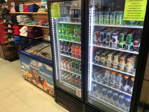
At the north end, I was picked up at the Farragut State Park Visitors Center. The trails in the park go to the visitors center where you can pick up an ice cream and soda for your accomplishment. At the south end, I started at the Canfield Mountain Nature Trail West Parking. Get off I-90 at exit 14 and go north on 15th street to Shadduck Lane. Go right and follow Shadduck to near the end and then left on N Copper Way, then left on Mt. Vista Drive.
Access:
WillhiteWeb.com
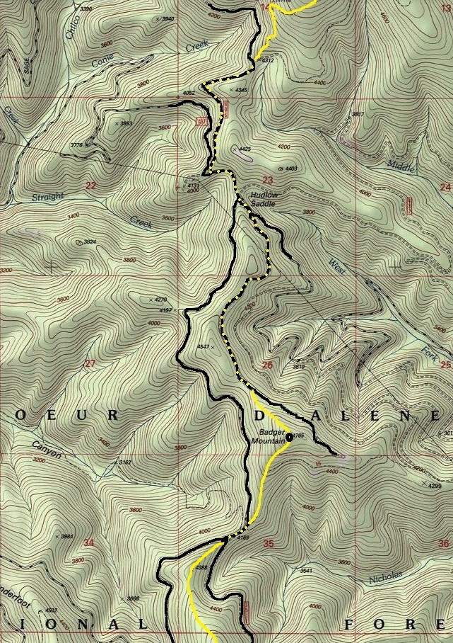
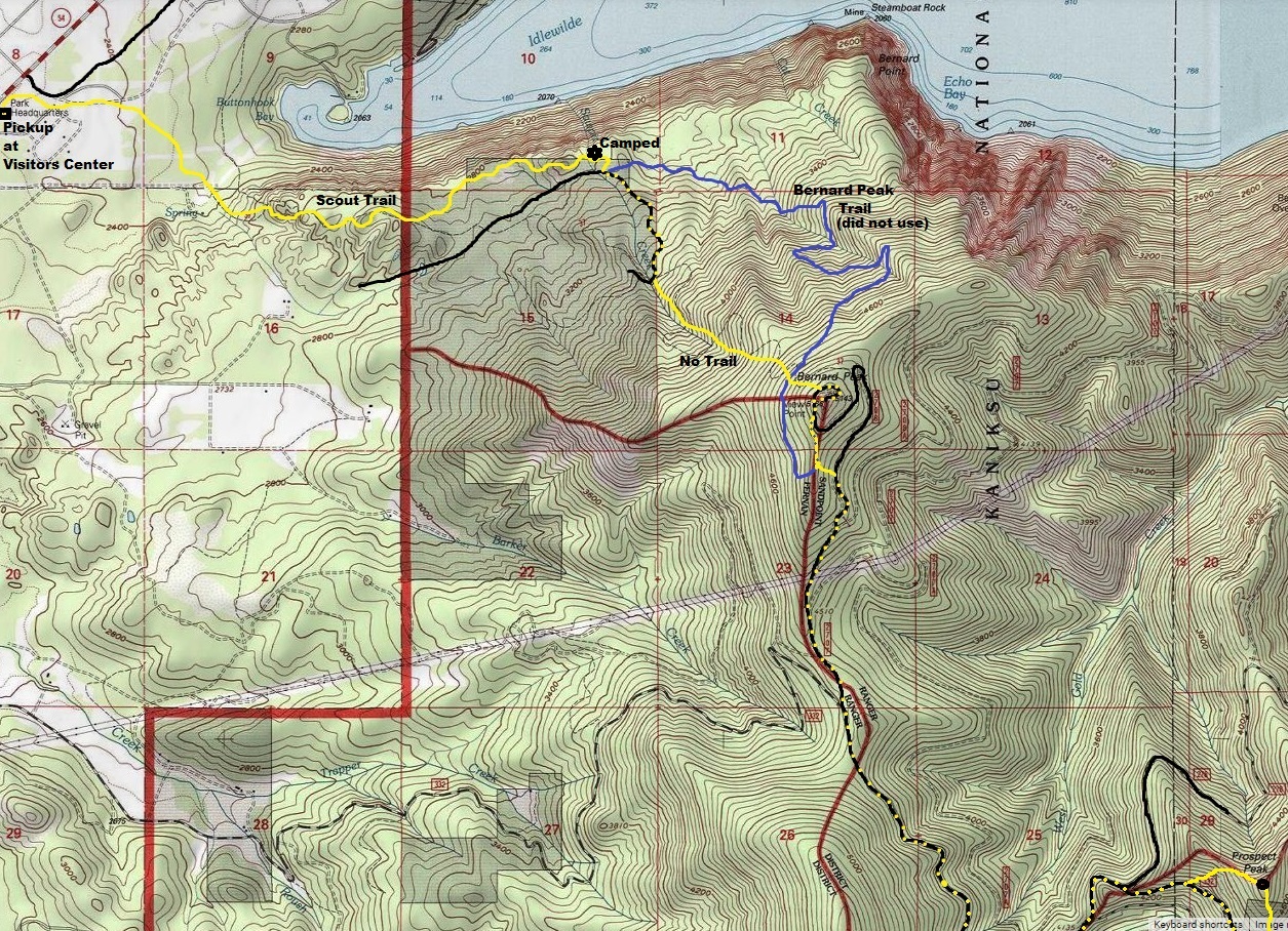
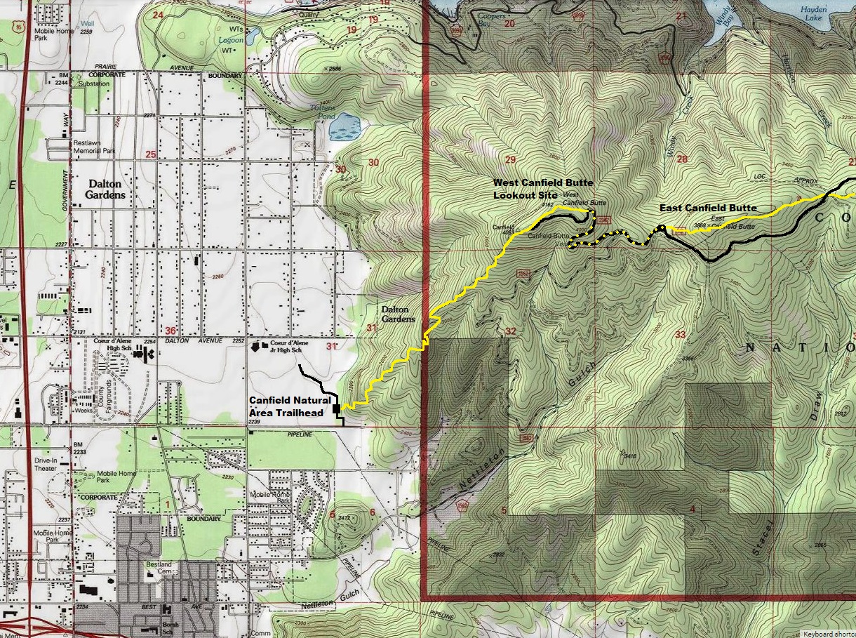
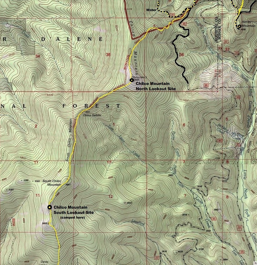
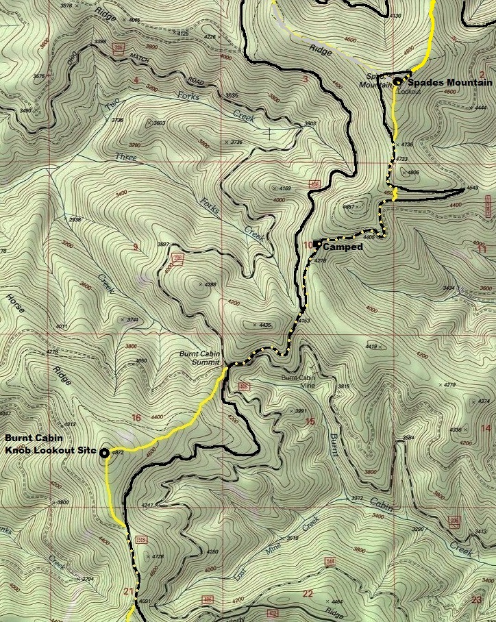
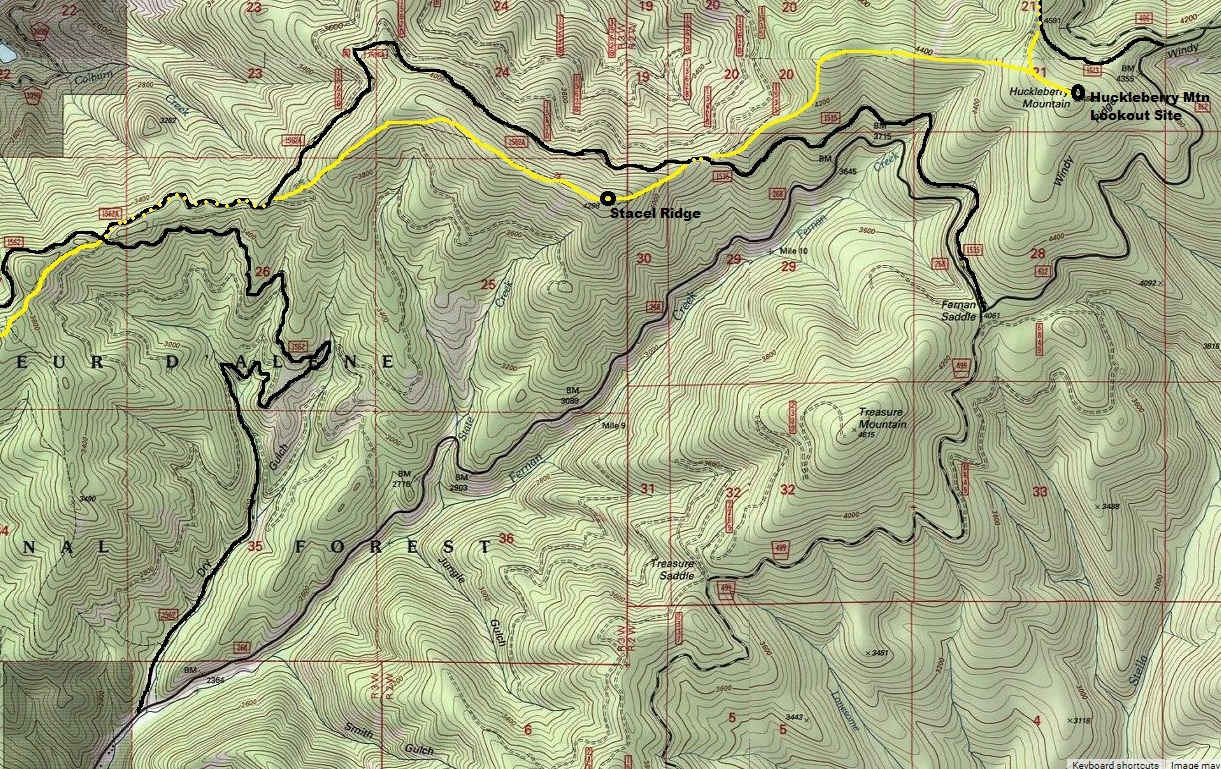
Map continues on far right of map below:
Continues on bottom of map above/left:
Peaks that once were used for fire detection have individual pages. The pictures on this page are not on the 8 pages below.
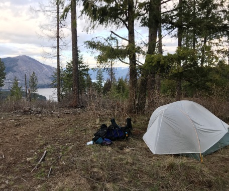
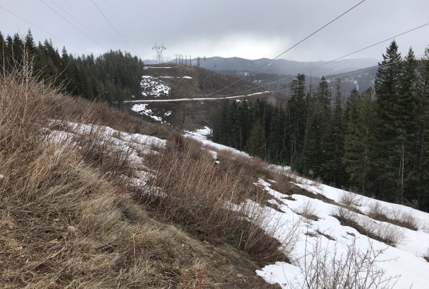
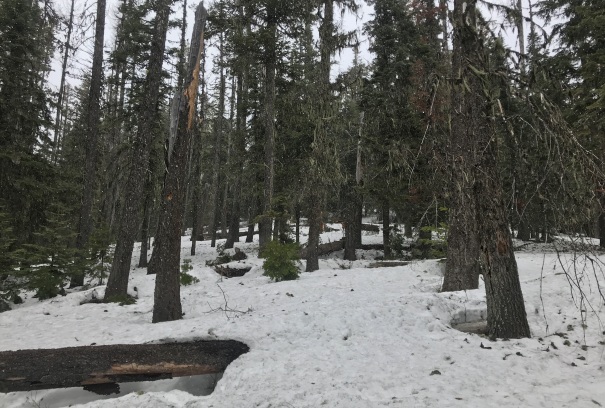
In route up Prospect Peak
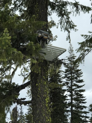
Hunters chair at the summit of Badger Mountain
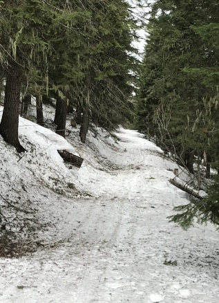
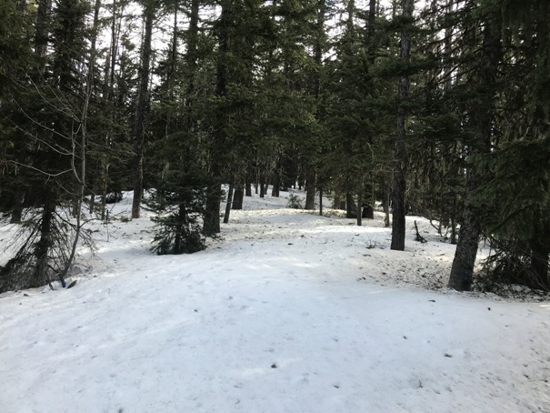
Hiking Chilco Mountain tree section
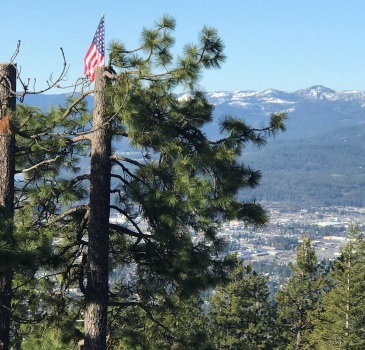
Flag up in a tree on West Canfield Butte
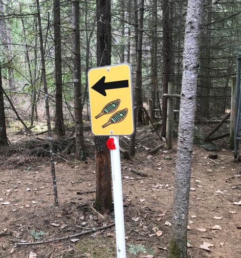
Snowshoe sign in Farragut State Park
After hike treats in the Visitors Center at Farragut State Park
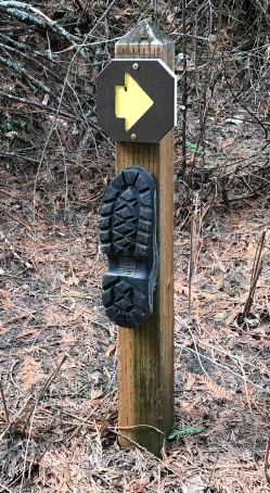
Sign along the Scout Trail
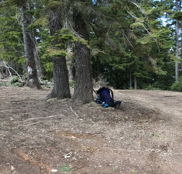
Camping near the top of the Scout Trail
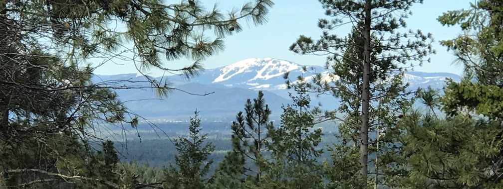
View of the ski resort on Mount Spokane
Bernard Peak from the Scout Trail
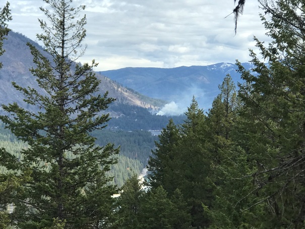
Distant fire, someone burning slash piles
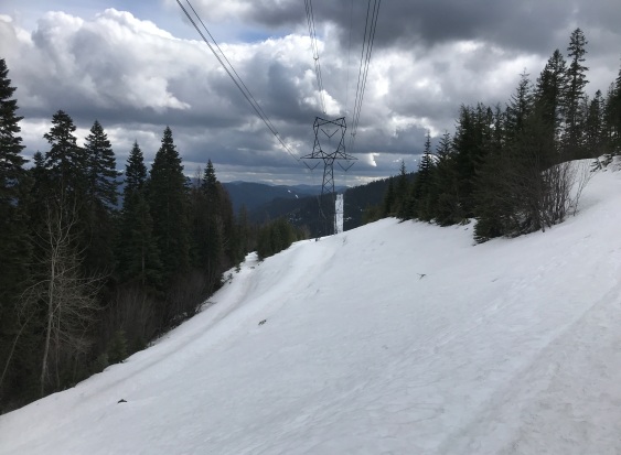
Powerlines south of Bernard Peak
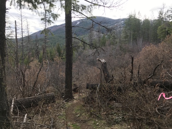
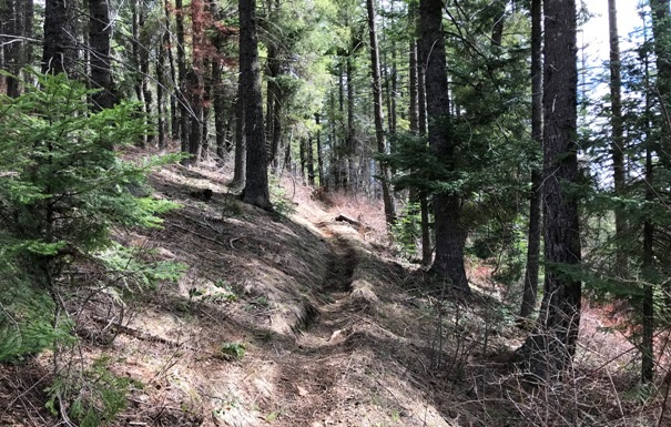
Trail near East Canfield Butte
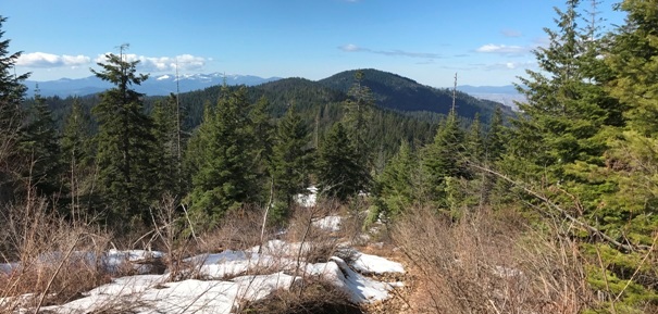
Heading to the distant Huckleberry Mountain from East Canfield Butte
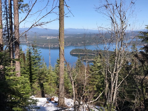
Lake Hayden from Stacel Ridge area
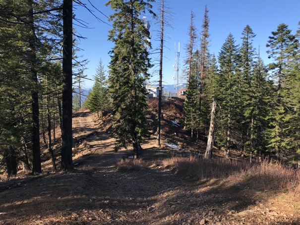
Looking down to the communications/viewpoint of West Canfield Butte from the actual summit
Roadside campsites all to yourself
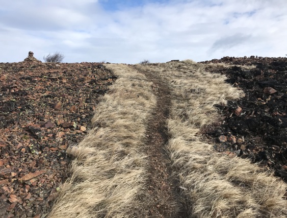
Trail at the summit of Chilco Mountain (North)
Powerlines near Hudlow Saddle
Road or ATV Trail
Route taken in Yellow
Route taken is in yellow. Yellow line is sometimes a hiking trail, motorcycle trail, ATV trail and sometimes off trail. Yellow dots is where I followed a roadway.


