West Canfield Butte Lookout Site
Lookout Elevation: 4,162 feet
Hiking Distance: 1.8 miles one-way to summit
Elevation Gain: 2,000 feet
County: Kootenai County
A very accessible and very popular trail system runs all over West Canfield Butte. There are numerous trailheads and trail users include hikers, bikers, motorcycles and horses.
Access:
One could choose many access points. I hiked up from the Canfield Mountain Nature Trail West Parking. Get off I-90 at exit 14 and go north on 15th street to Shadduck Lane. Go right and follow Shadduck to near the end and then left on N Copper Way, then left on Mt. Vista Drive.
Route:
Hike up the trail and just keep to the ridge. I hit many junctions but all the uphill paths seemed to keep me going in the correct direction. You will leave the city ownership and enter the cancourse LLC area, which appears to be
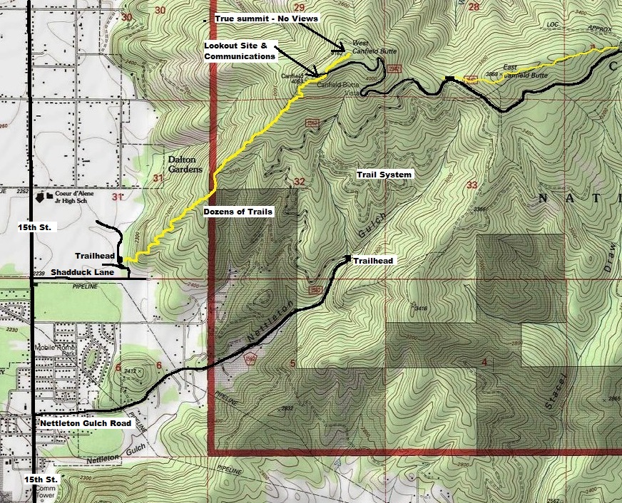
Finding a map online is probably helpful.
Lookout History:
In 1932, there was a crows nest. This was a patrol point atop west butte. The site was abandoned in 1947.


WillhiteWeb.com
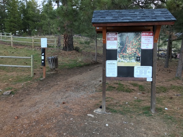
Canfield Mountain Nature Trail West Trailhead
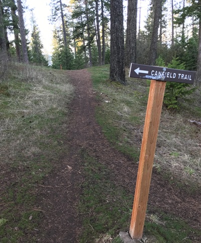
Canfield Mountain Trail
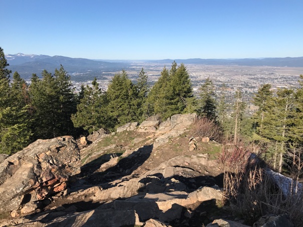
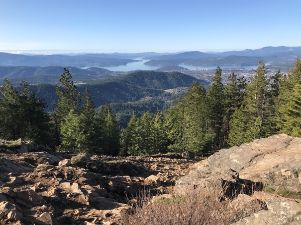
View from the benchmark area of West Canfield
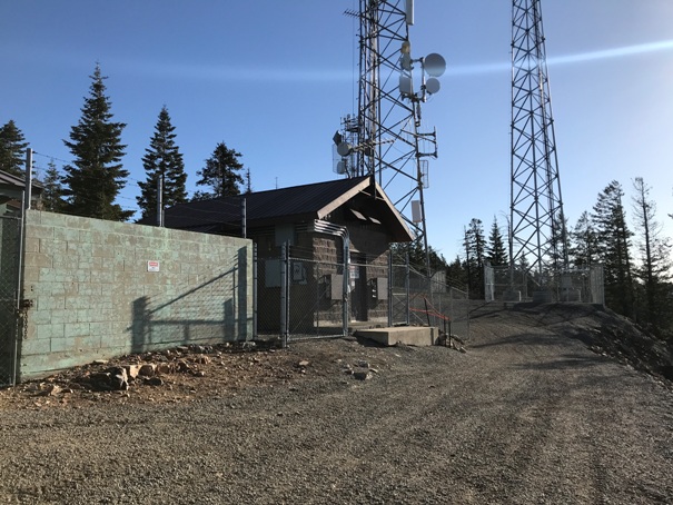
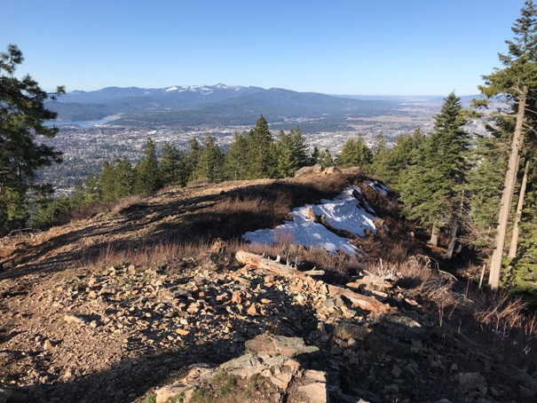
View west from the communication towers on West Canfield
View down to Coeur d'Alene
Lake Coeur d'Alene
Zoom to Coeur d'Alene
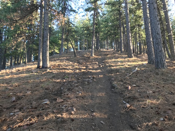
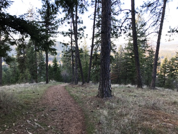
Open forests along the way
Communication towers
A few signs along the way
Yellow line is the approximate route but there are dozens of trails all over the mountain


