Lookout Elevation 5,156 feet
Hiking Distance: 8 mile one-way hike or drive-up
Elevation Gain: 3,000 feet if hiking
County: Kootenai County
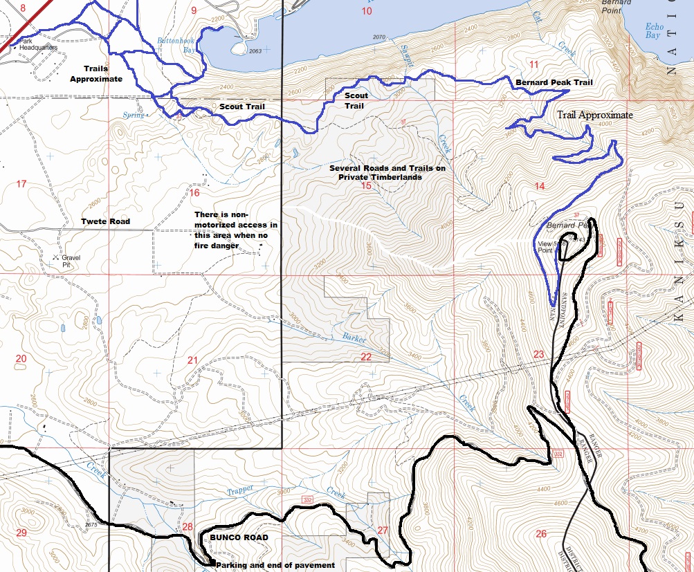
Bernard has a prominent position at the south end of Lake Pond Oreille. At the base is Farragut State Park and a long tradition of hiking trails that go from the park to the summit of Barnard. But, the trails have changed over the years so maps give incorrect locations. The former fire lookout would have offered extensive views but today the trees block most those views. Hiking up from the Farragut would be the most interesting way but a road is possible from the south side. Mountain bikers make a large loop going up the Bunco Road and down the trail, then access onto Twete Road which avoids the long Scout Trail that goes into Farragut. But for hikers, the Scout Trail access from the park offers interesting viewpoints and things to see.
Lookout History:
In 1918, a 20-foot platform tower was built.
In the 1930s, a 40-foot pole tower with a 7x7 foot cab was built.
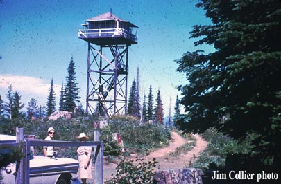
In 1948, a 40-foot timber tower with L-4 cab was built 500 feet north of the summit.
In 1950, the lookout was James Chamberlain.
In 1959, the lookouts were Mr. and Mrs. Dave Palmer.
In 1961, a mile of road to improve access was built by Empire Lumber after being a successful bidder on a timber sale near the peak.
In 1968, vandals chopped off a board to gain entrance in October. Windows, dishes and lantern globes were broken inside. Outside, railing were broken and they shot several holes through the floor.
In 1969, the lookouts were Mr. and Mrs. William Heacox of Spokane.
In 1976, the tower was destroyed.
WillhiteWeb.com
Access:
To hike from the park, just go to the visitors center, pick up a map and start hiking from there or one of the trailheads past the pay stations. Follow map to reach the Scout Trail. To drive up, from US 95 and Bunco Road at Silverwood, Bunco goes all the way to the south ridge of Bernard. The paved road turns into FS 332. Follow on dirt until a left on Lakeview Road (FS 2707), then left onto FS 2708 (easy to follow if you have a map). It should be possible to drive to the summit if no gates or trees block the way.
Bernard Peak via Scout Trail
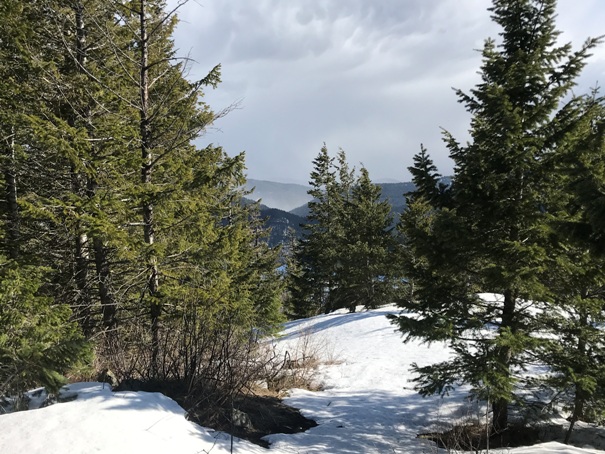
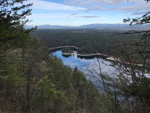
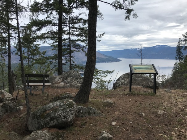
On top of the Highpoint Trail viewpoint, a short side trail near the start of the hike
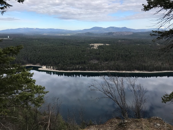
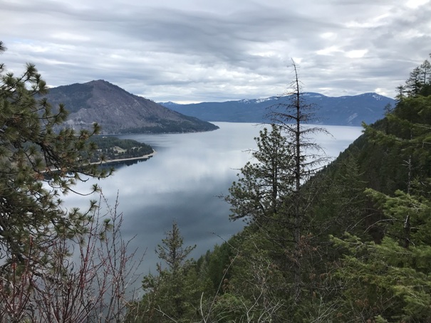
Lake Pend Oreille overlook along the Scout Trail
Looking over Idlewilde Bay of Lake Pond Oreille, and the vast flat land of Farragut State Park
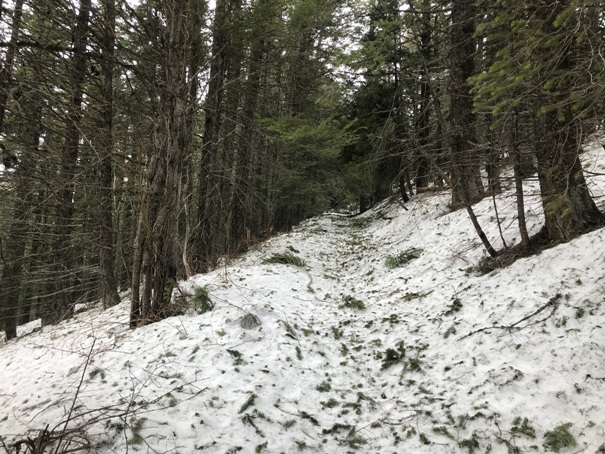
Bernard Peak trail near the top
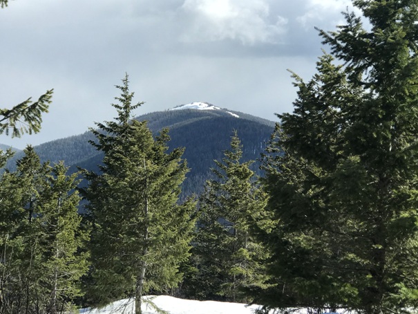
Chilco Mountain from Bernard Peak
Idlewilde Bay from the Scout Trail
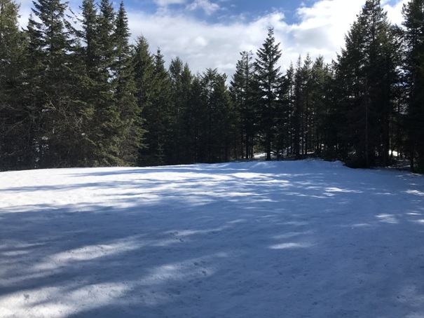
Flat area at the summit of Bernard, highpoint in trees at far end.
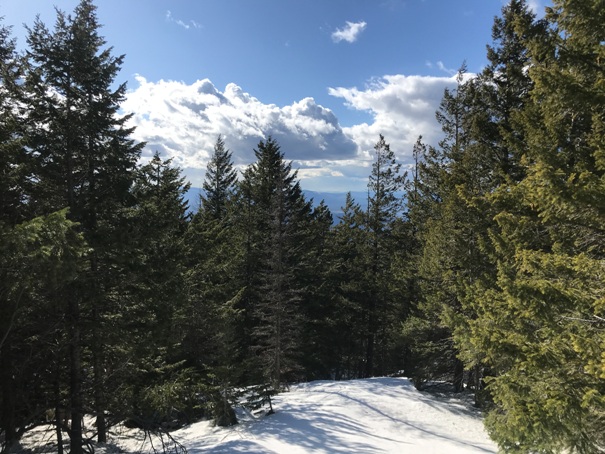
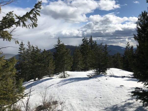
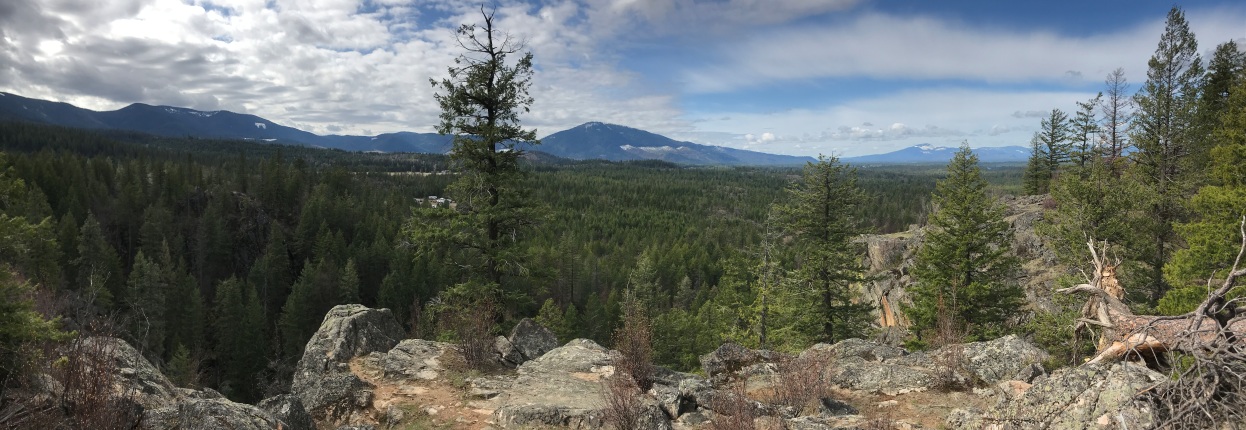
Views from Bernard summit
Views from Bernard summit
Views from Bernard summit
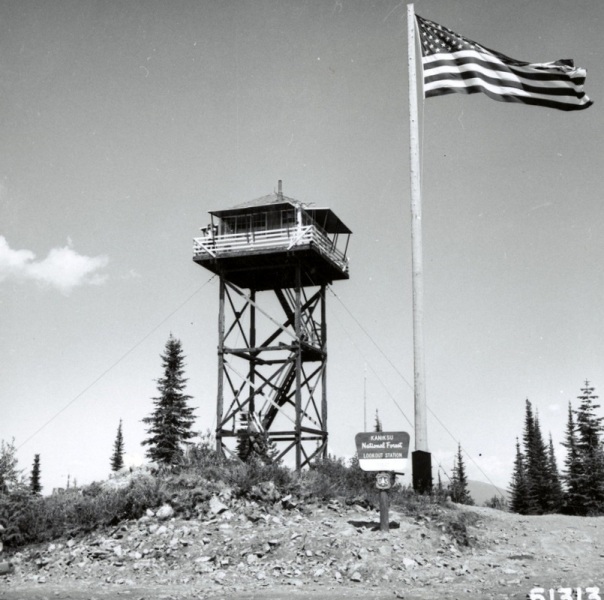
Bernard Lookout in 1965
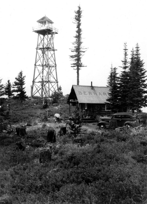
No date but shows original cab and the ground living quarters with road access
Bernard Lookout in 1970
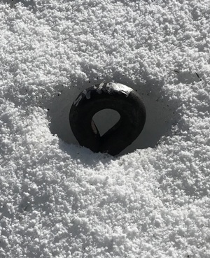
Eyebolt in the snow
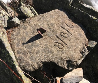
Footing with the date 8/8/63
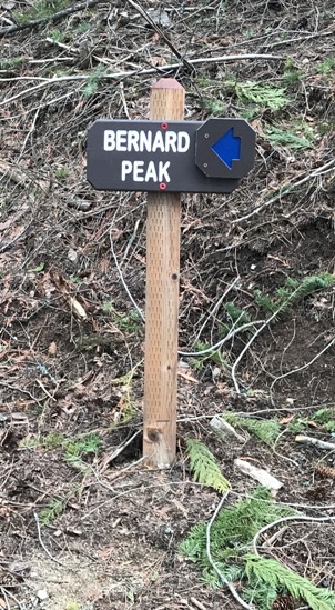
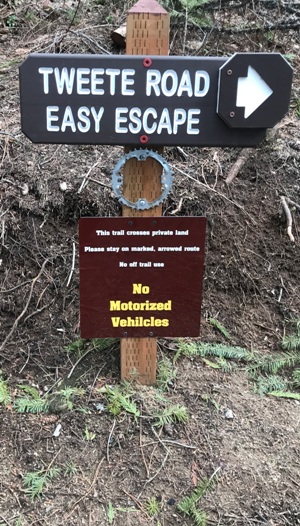
Sign where the Scout Trail ends
Another access point to the trails
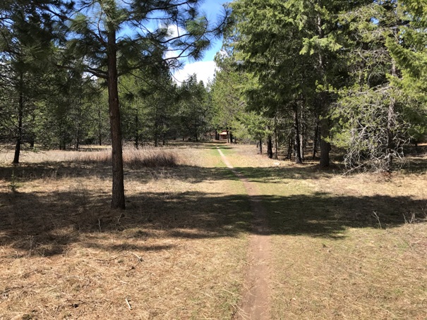
Trail near the visitors center
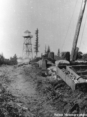
Bernard Lookout in 1940
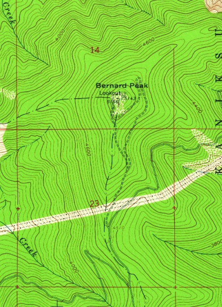
USGS 1961


