Lookout Elevation 5,635 feet
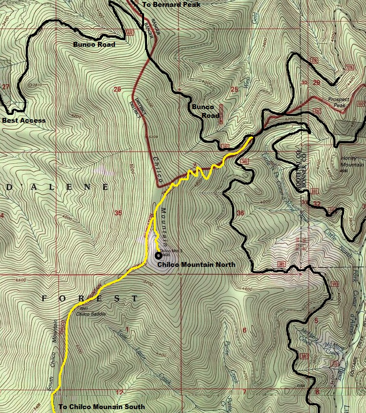
Hiking Distance: 2.5 miles (from the North Trailhead)
Elevation Gain: 1,500 feet
County: Kootenai County
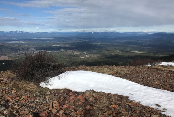
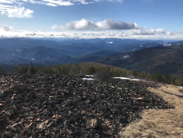
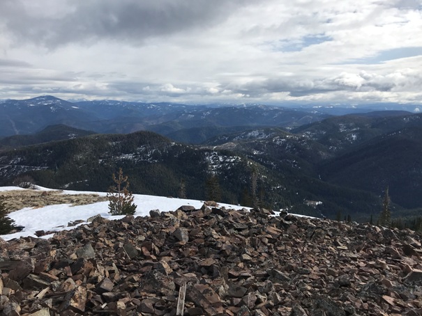
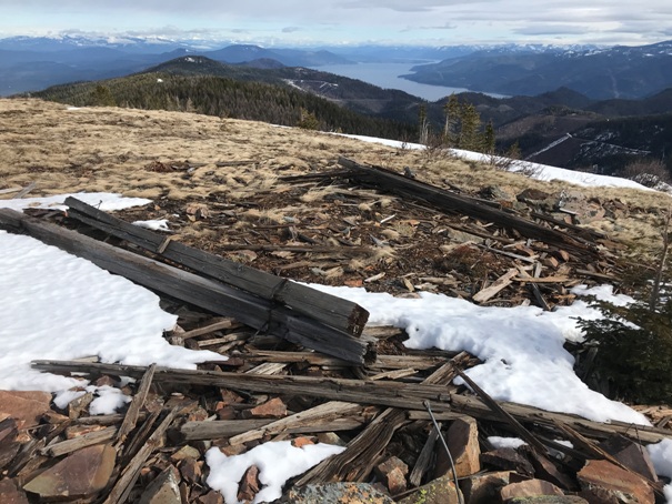
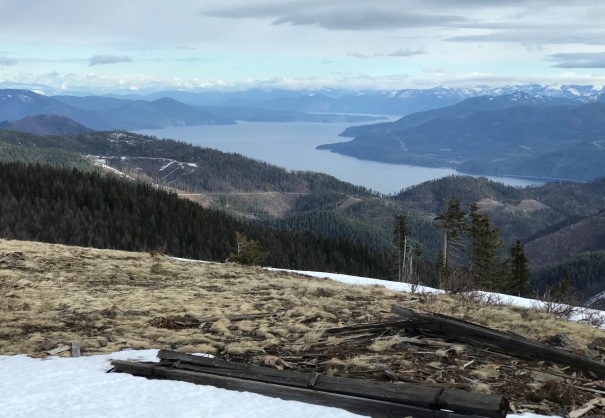
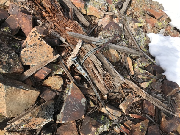
It is debatable which view is better, Chilco Mountain North or South, but I would vote for the North with a better 360 view and the close proximity view of Pend Oreille Lake. A nice hiking trail can be used from the north or south. Access via the Bunco Road on the north end would be easiest. Quite a few lookout remnants remain on the summit.
Lookout History:
In 1931, there was a lookout camp.
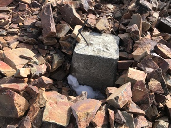
In 1936, a USGS party visited the summit and placed a benchmark.
In 1938 a USGS party visited the summit making no mention of a tower.
In 1939, a 40-foot pole tower with an L-4 cab was built.
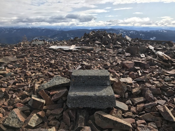
In 1940, a USGS party said that a lookout tower had been built on the peak and the station benchmark was under the steps and could not be used. So, a new benchmark called Chilco 2 was placed.
In 1959, there was nothing but ruins.
In 1960, a USGS party referenced the legs of the lookout tower but also said the USFS lookout tower had been destroyed.
WillhiteWeb.com
Access:
Come in from Bunco Road, it looks pretty good for most vehicles.
Chilco Mountain (North)
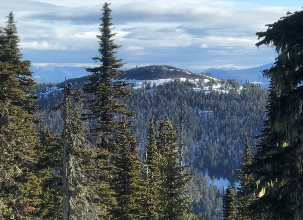

Chilco Mountain North from the trail up South Chilco Mountain
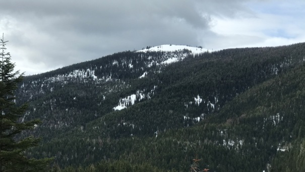
Chilco Mountain North from near Honey Mountain
Lake Pend Oreille
Looking West
Looking South
Looking East
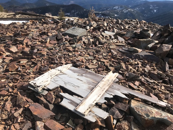
Steps into the former lookout
Shutter remains
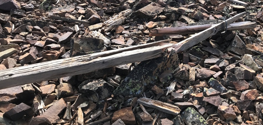
Lots of wood still at the summit
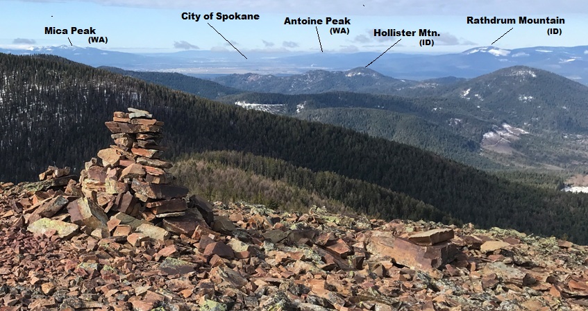
View West to 4 big Washington mountains
View Southwest
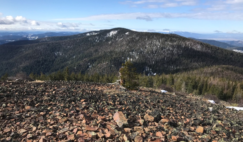
South Chilco Mountain (the lookout site is just over the tree covered summit)
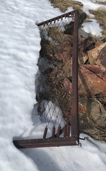
Bed frame
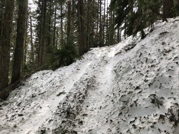
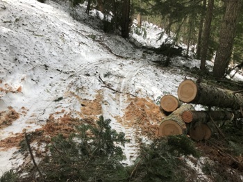
An ATV did a good job getting pretty high up the trail
They even cut all the fallen trees over the trail
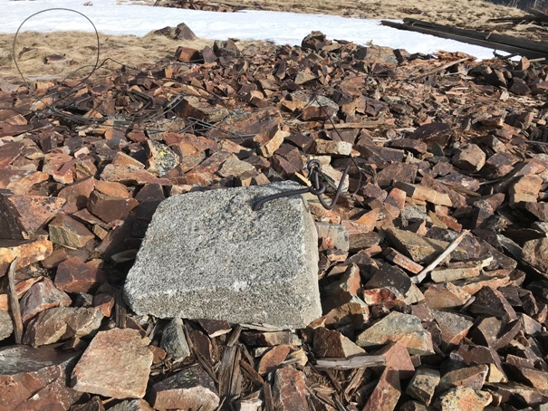
Footing in the summit rocks
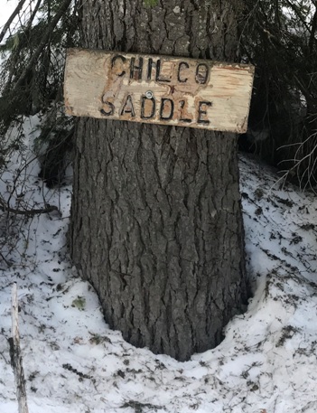
Sign between the summits
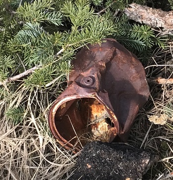
Old paint can
Anchor cables everywhere


