Utah Fire Lookouts
By 1915 the U.S. Forest Service had ten fire lookouts established. In the late 1930s there were plans to build another twelve.
WillhiteWeb.com
Others I have not visited
Mount Terrel
Hardinger Firetree (Beef Tree)
Horse Valley Peak
Lake Fork Mountain
Meadow Creek Peak
Ogden Ordinance Depot
Tooele Army Depot
Whipple Peak
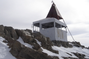
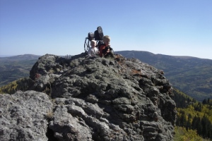
Elevation reported: 7,843 feet in Duchesne County.
This was a 90-foot-tall tree approximately 54 inches in diameter, with wood ladder 37 feet up the southeast side, and platform at 51 feet. The tree was also known as Beeftree. It is/was located at the edge of a Ponderosa forest at the tree line where the forest meets a large meadowed area. It is/was a large Ponderosa pine tree, said to be the largest in the area, that was also used to string up beef for butchering by local ranchers. Hardinger Firetree was one of the largest and best known trees and is located on the east edge of the old Hardinger homestead. The tower was left as a derelict tree platform for over 50 years. I have not confirmed if the tree still stands.
County: Iron County
Forest: Dixie National Forest
Likely on the summit of Horse Valley Peak to the SE of Parowan.
County: Duchesne
Forest: Ashley National Forest
Likely on Lake Fork Mountain located directly above Moon Lake where the Lake Fork Guard Station is located. A patrolman could quickly hike up the mountain to a set firestand.
Nothing known. But seems straightforward that there is a Mt. Terrill in Sevier County with good views over lots of timber in the Fish Lake National Forest, just north of Fish Lake. There is also the Mt. Terrill Guard Station at the base of the mountain. Elevation is 11,547 feet
Davis County. Probably not used for fire. Not sure why this is listed.
County: Washington County
Forest: Dixie National Forest
The lookout site is likely located near Pine Valley on Pine Valley Mountain. There is a Whipple Trail running much of the length of the mountain. There are many highpoints along the mountain I is unknown what point was once called Whipple Peak. A high likelihood would be a point just above a high meadow area called Whipple Valley.
Tooele County. Probably not used for fire. Not sure why this is listed.
Nothing known. If I had to guess, the location is referencing the Meadow Creek that drains the highest peaks of the Pahvant Range. The three peaks are Mine Camp Peak, White Pine Peak and Sunset Peak. These are the highest summits in Millard County and the range has a good amount of timber.
Please contact me if you have any information about these locations below.
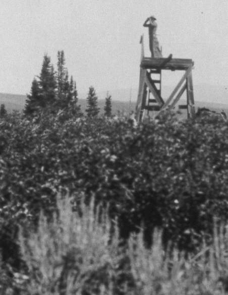
Unknown lookout labeled as Uinta National Forest 1929


