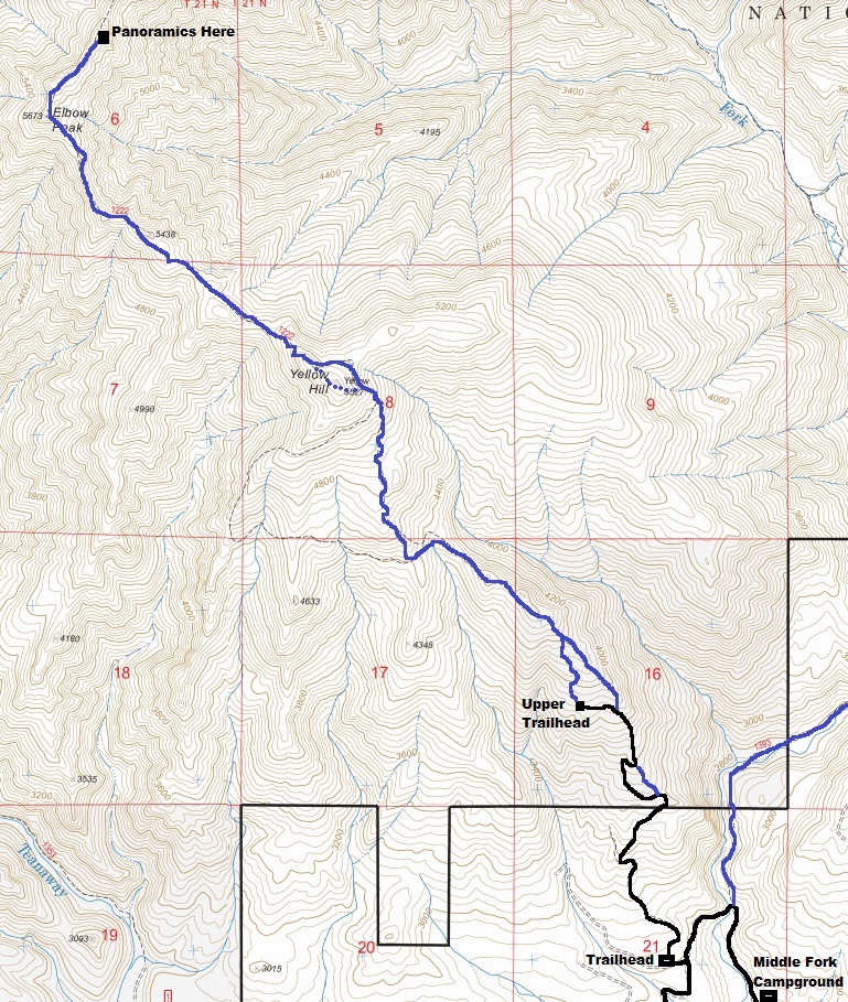
The Yellow Hill Trail is a popular hike that usually concludes at Elbow Peak. The views do not fully kick in until you are on the ridge between the two mountains. This is a motorcycle trail that usually does not melt out completely until June so it is closed to motorized use April 15 to June 15. This is the best time to visit as a hiker. Snow may require some off-trial use to skirt safer paths. The trailhead has no bathroom so no parking pass is needed. If you have high-clearance 4WD (and the by-pass is open), you can drive the first 1.5 miles of trail saving 1,000 feet of elevation gain and 3 miles of boring hiking.
Yellow Hill and Elbow Peak
WillhiteWeb.com
Yellow Hill: 5,527 feet, Elbow Peak: 5,680 feet
Hiking Distance: 5 miles
Elevation Gain: 2,800 feet to Elbow, 600 out
Access: Any vehicle
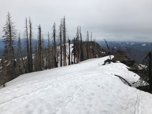
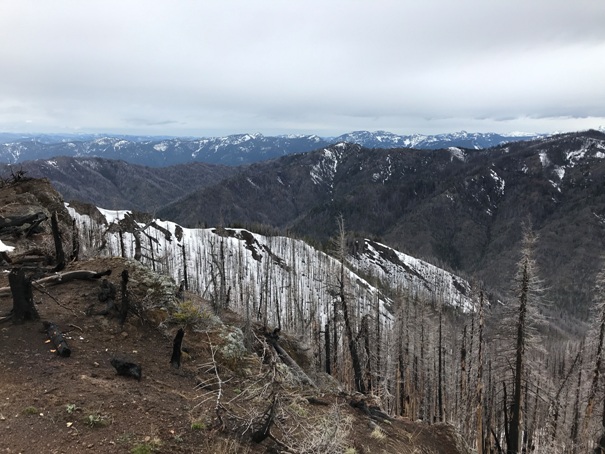
Southwest views
Southwest views
Take the Teanaway Road about 7.3 miles, then left on West Fork Teanaway Road for 0.7 miles, then right on Middle Fork Teanaway Road. Continue past the end of pavement, past a campground, cross a bridge and in one-quarter mile turn right and find the trailhead.
Access:
Flat summit ridge
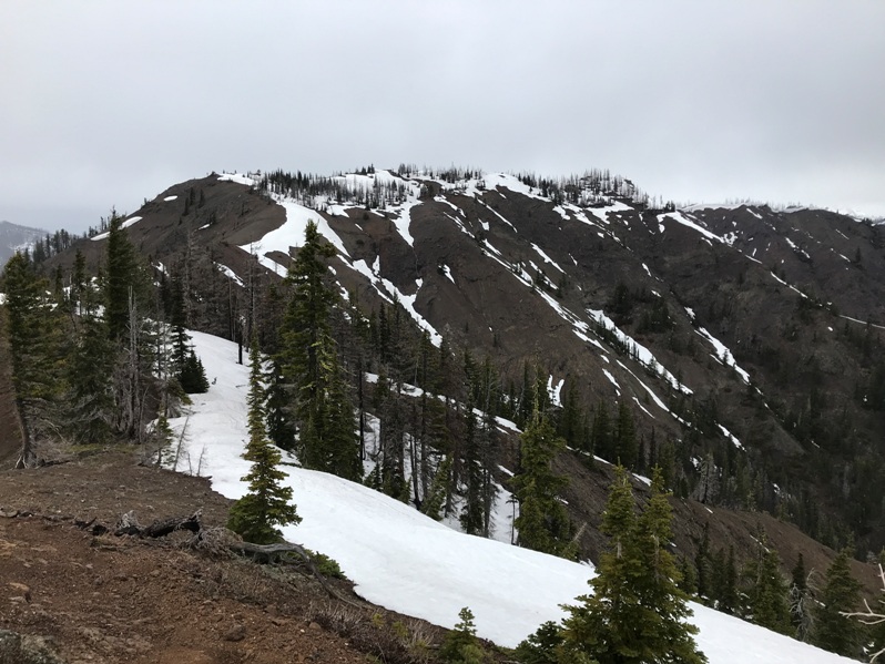
Trail dropping down Yellow Hill with Elbow Peak in the distance
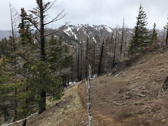
Hiking up to Yellow Hill in a burn area
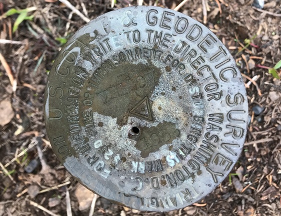
There is this at the summit of Yellow Hill, the Yellow Hill Benchmark
Trail map to Elbow Peak via the Yellow Hill Trail. Most people start at the lower trailhead (see notes above).
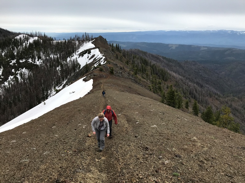
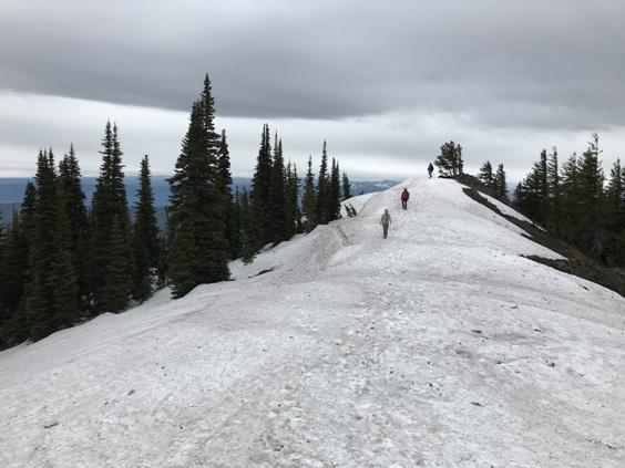
The section of narrow ridge between Yellow Hill and Elbow Peak
Good view of Elbow Peak
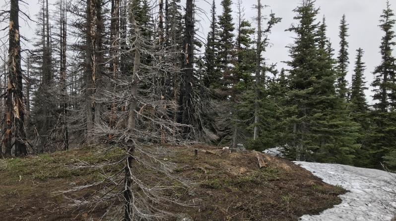
Summit of Yellow Hill. This is why you continue to Elbow Peak.
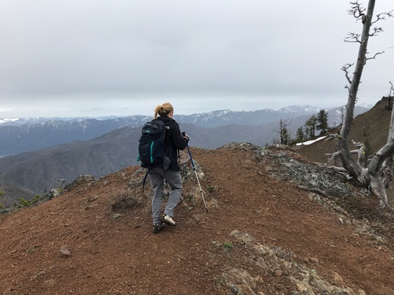
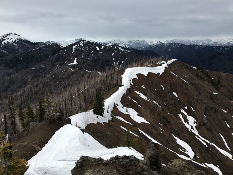
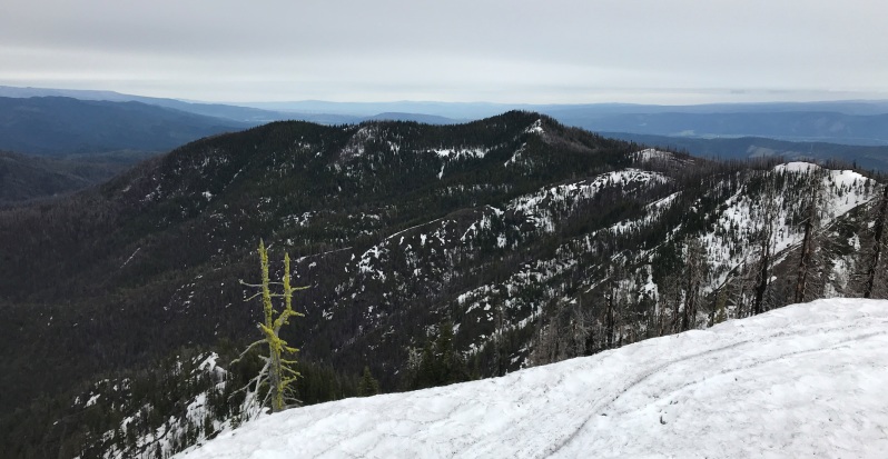
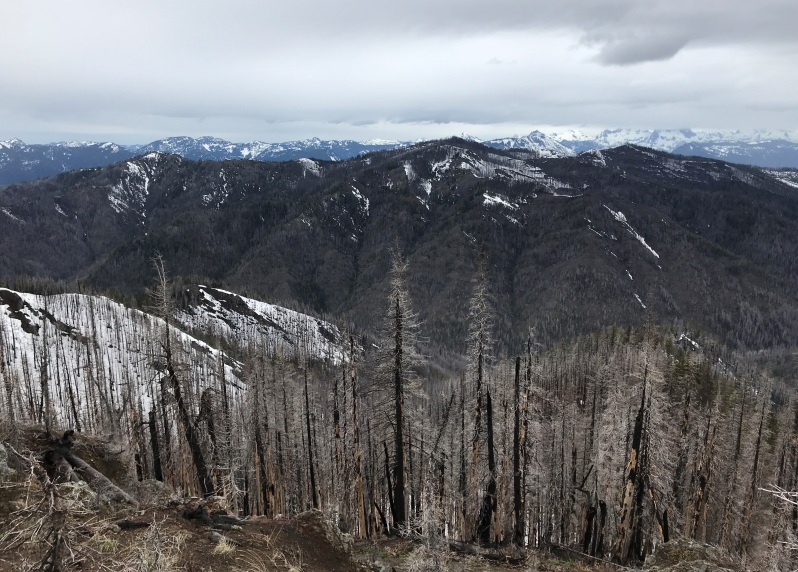
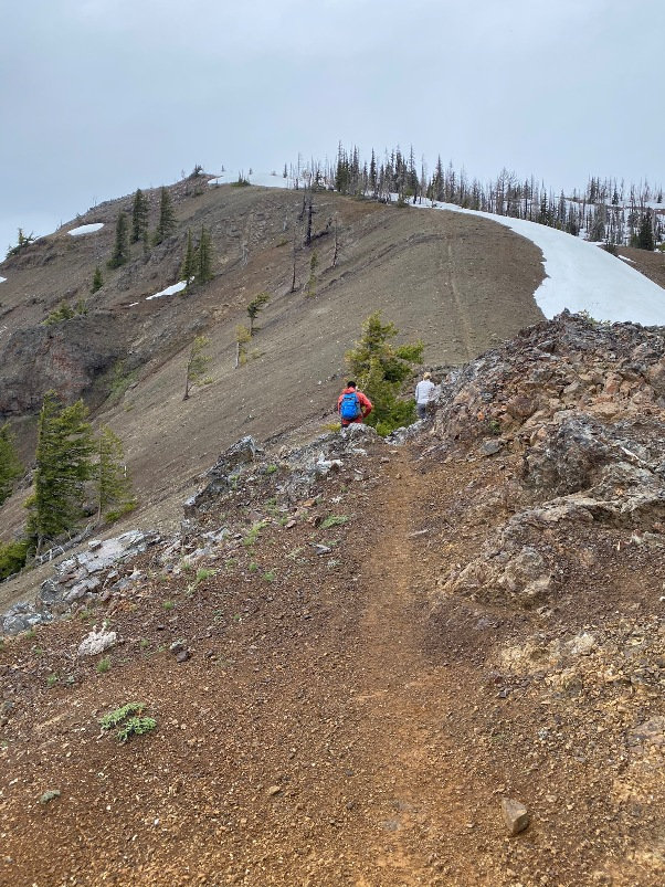
Views along the way
Trail on the ridge
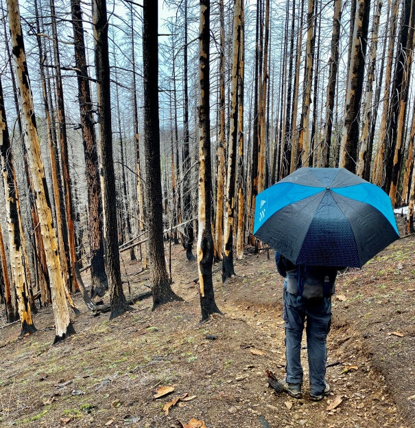
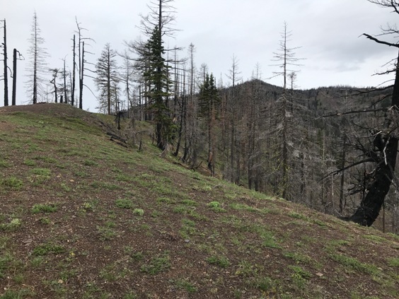
Burn area
Hex Mountain
Looking back at Yellow Hill from Elbow Peak
Looking North from the Elbow Peak highpoint
