Siouxon Peak Lookout Site
WillhiteWeb.com
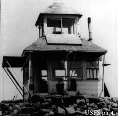
On October 18, 1921, the Oregon Daily Journal said "The Columbia National Forest in Washington is the most thoroughly equipped with lookouts of any forest in the district, says Forest Examiner H.M. White. With the completion of the Siouxson Peak Lookout, the forest has nine stations, and another house is being built this winter." From this article, we can surmise that the cupola lookout house was probably built during the summer of 1921, although we do have a Forest Service image that is labeled 1920.
On August 19, 1927, the Statesman Journal reported the following: "Whipped into fresh fury by a strong east wind, forest fires in the Columbia National Forest in Washington. All crews had to be removed from the Siouxon fire district at once before the advance of the flames. Replacement for the ranks of fire fighters were sent today from Portland. It was believed that the Siouxon, Gumboot and Lookout Mountain lookout stations will be burned. Instruments have been removed and the houses abandoned."
In 1935, an L-4 cab was built to replace the original cupola lookout.
On July 31, 1937, panorama photos were taken at 18 feet above the ground. Images show a phone line, flagpole, stovepipe, weather station and shed.
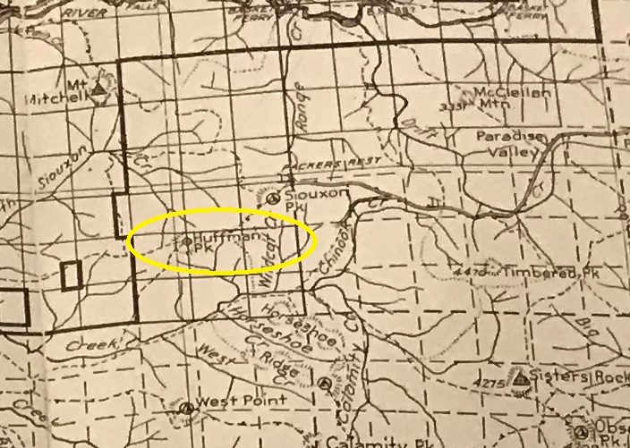
In 1953, the USGS notes said to follow well marked USFS roads northerly from the Hemlock Ranger Station to the end of the road at Siouxan Peak. Then pack west and south along the Forest Service trail about five minutes to the Forest Service Lookout House on the top. The benchmark on top is stamped Siouxon LO, at the Northeast corner of the lookout.
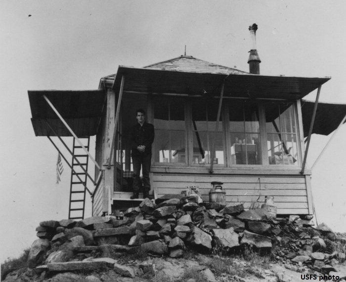
In 1964 we have an image below. It is the last piece of evidence we have, we donít know when it was destroyed.
Elevation 4,169 feet
Hiking Distance: 2 miles
Elevation Gain: 1,500 feet
Access: Some high clearance due to berms
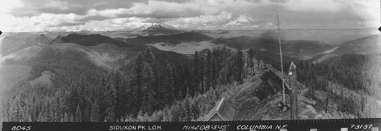

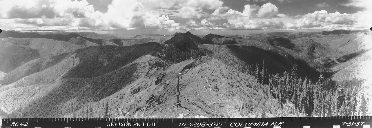
Southwest on July 31, 1937
Southeast on July 31, 1937
North on July 31, 1937
Columbia National Forest 1932
Siouxon Peak Lookout 1964
Siouxon Peak Lookout 1920
Columbia National Forest 1925
Columbia National Forest 1940
Choose your own adventure. There are several trails in the Siouxon Creek Trail system that offer long hikes or overnight backpacking to this location. The East Ridge Route makes for an easy hike but requires a lot of driving on forest roads with many, many turns, so a good map is needed.
Access:
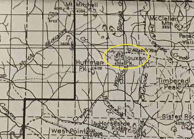
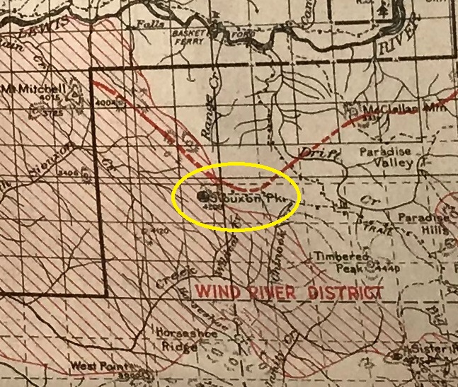
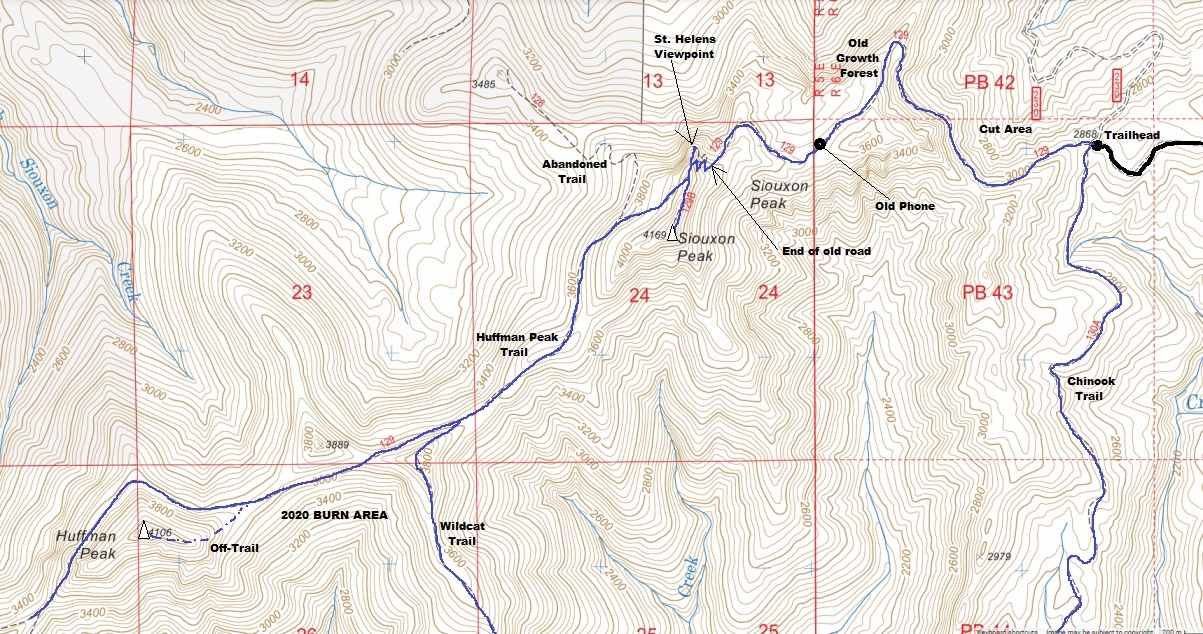
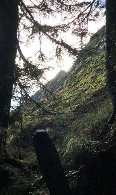
There are two trails just above the parking area, be sure to take the Huffman Peak Trail, which follows the old roadway. Once the trail (old road) gets past the first drainage, the trail enters old-growth forest on the ridge. At this point, the road is very much just a trail now but the experienced hiker will know this was once a very scenic road through the trees. The road built through old-growth forest stops just below the lookout where it abruptly ended at the cliff. Now follow the original trail up just a few switchbacks to the summit ridgetop. The short trail to the lookout is not signed and goes left when the main trail starts dropping down. There is also a short spur to a great view of Mt. St Helens that you can not get from the summit. See map.
Route:


Be sure to combine with the:
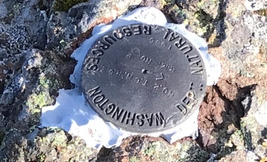
State reference mark 2 placed in 1985
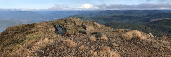
Missing lookout, 2021
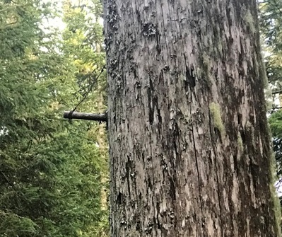
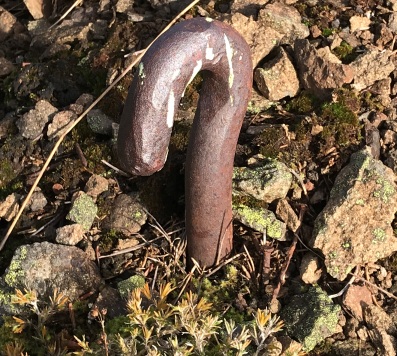
Hook anchor at the summit
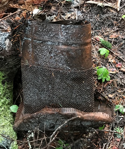
Old stoovepipe tossed down the hillside below the dump
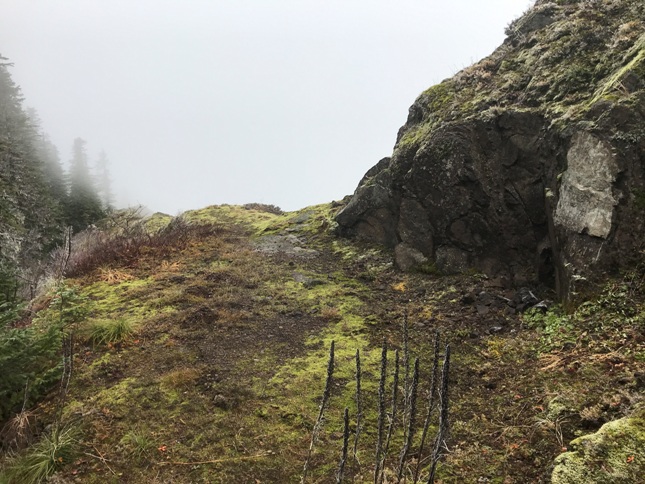
Where the old road (now trail) ends, you can see summit
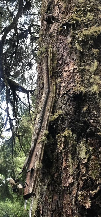
Lots of phone line pegs still on the trees
Old phone box station along the old road
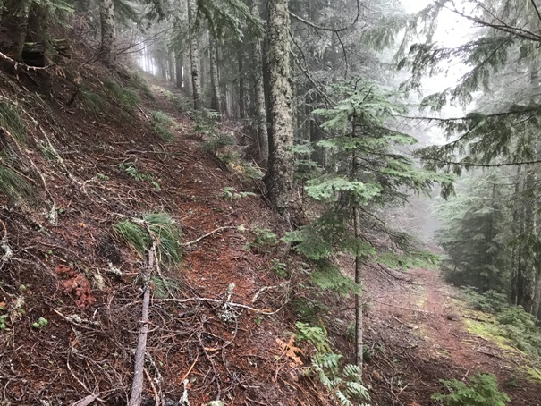
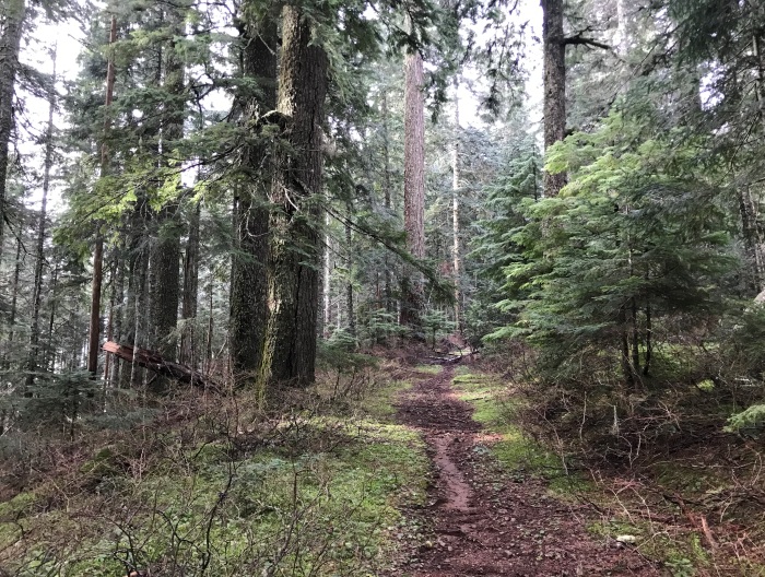
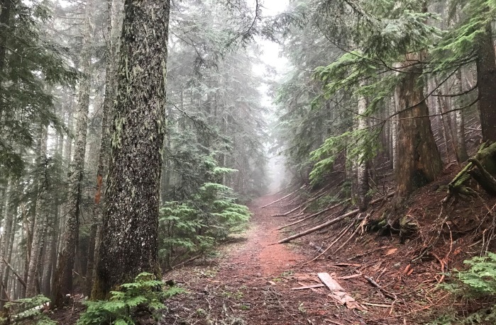
Old road through old timber
Much of the route feels like old-growth forest but I would guess that the big trees along the route survived a fire and there were other (better) areas during the time period. Either way, the area has not been cut.
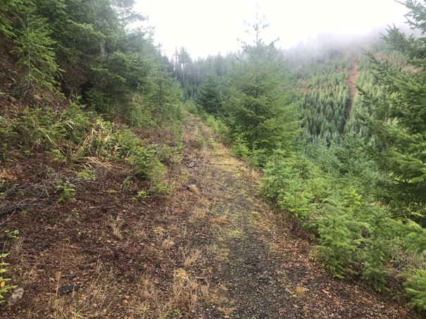
Route starts in a cut area on recently abandoned road.
On left is the start of original trail, to the right is the old roadway (now a trail too).
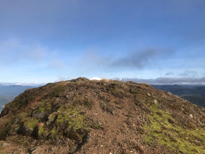
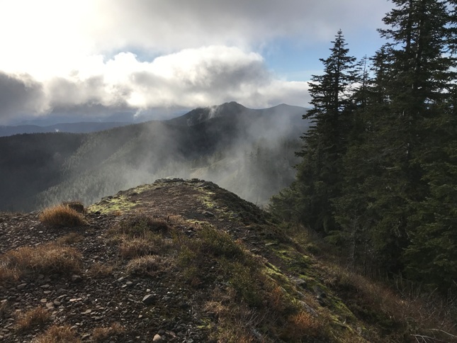
Summit where the lookout building was located
Just before the summit is a spur trail dropping down to the old privy and garbage pit. It still stinks.
Looking over to Huffman Peak about 2 miles distant
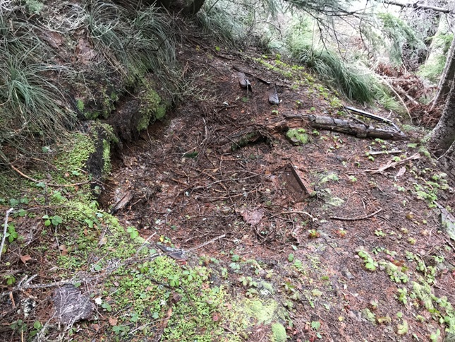
This flat area was chisled out just below the summit for the shed. See the North panoramic image.
Southeast on November 20, 2021
Timbered Peak
Sisters Rocks & Observation Peak
Timbered Peak
Huffman Peak
Mitchell
Helens
Adams
At the last switchback before the summit is a short spur trail that gives this view to the Northwest that is not visible from the lookout site due to trees. The pano below with same view cut the trees down.
Helens
Battery in the garbage area
Rainier


