Huffman Peak Lookout Site
WillhiteWeb.com
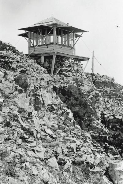
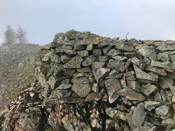
On July 6, 1934, panorama photos were taken at 4 feet above the ground. At that time, it appears no lookout structure was on the summit. The structure was probably built shortly after since the lookout inventory suggests it was built in 1932. An L-6 cab was built on a small foundation of built up rocks. It is unclear when the cab was removed. The summit was likely used for many years by the Siouxon Peak lookout which was built around 1921.
Elevation 4,106 feet (4,120 on panoramics)
Hiking Distance: 2 miles from Siouxon Peak
Elevation Gain: 500 from Siouxon Peak, more on the return back
Access: Some high clearance due to berms
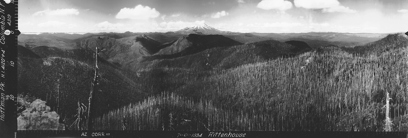

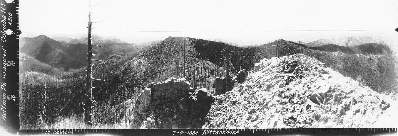
Looking Southwest July 6, 1934
Looking Southeast July 6, 1934
Looking North July 6, 1934
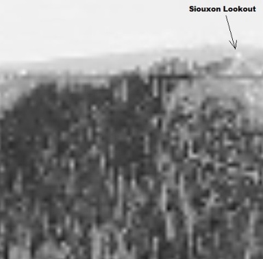
Zoom of the far right of image
Huffman Peak Lookout 1944
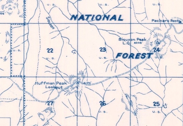
Columbia National Forest 1940
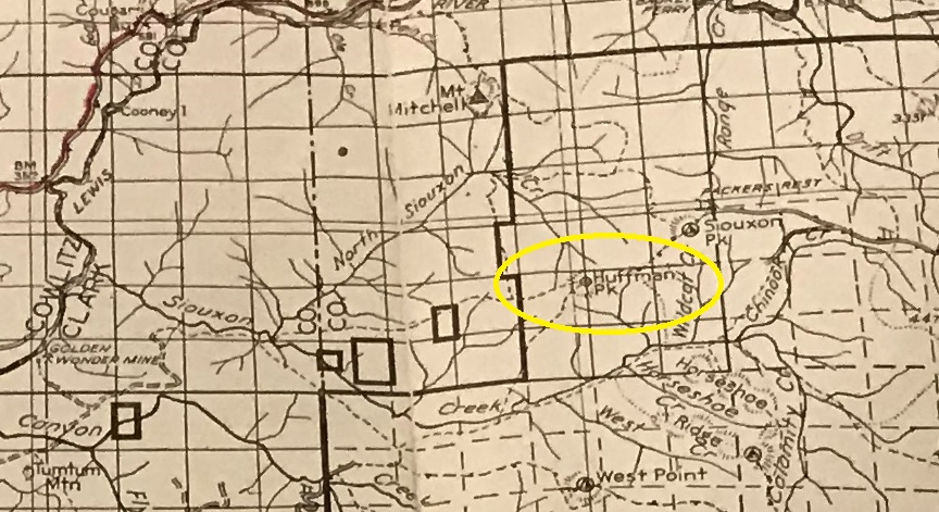
Metsker Map 1956
The easiest access is from Siouxon Peak Lookout Site. See the following link:
Access & Route:
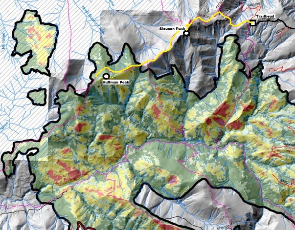
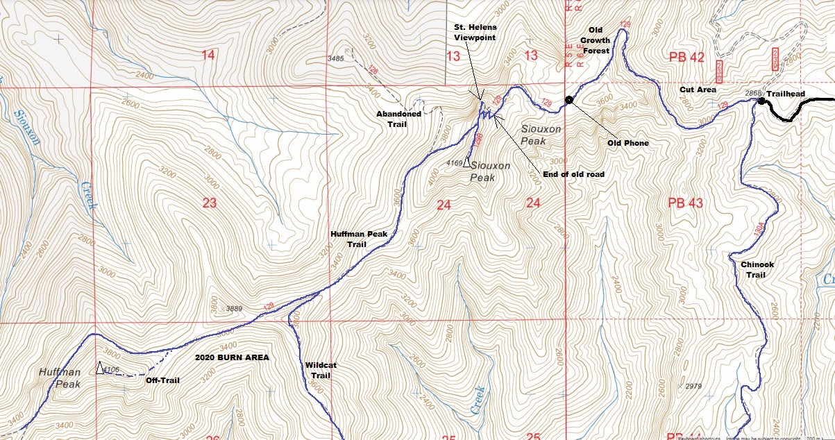
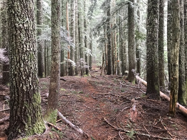
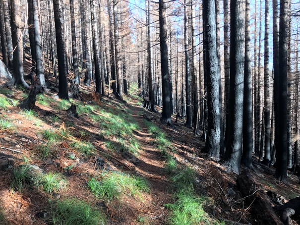
From Siouxon Peak, follow the Huffman Peak trail on the connection ridge, a 2 mile hike. The final ascent to the summit had no trail on the east side. I did not check from other directions for a trail but the forest open and easy thanks to the 2020 forest fire.
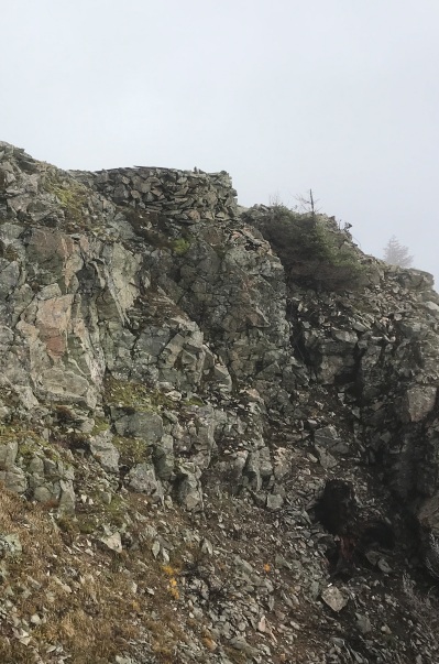
Huffman Peak Lookout Site 2021



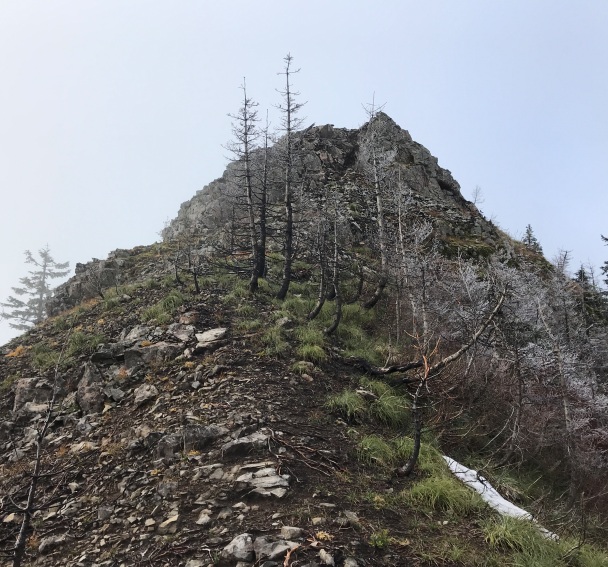
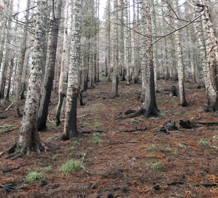
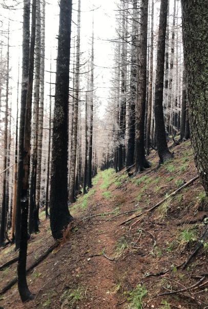
Burn area
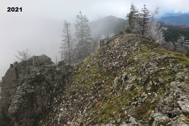
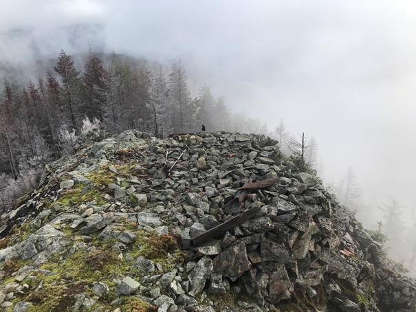
Summit platform
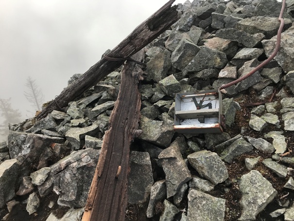
Phone box at the summit
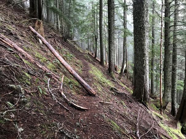
Trail dropping off Siouxon Peak
On the ridge betweet Siouxon Peak and Huffman Peak
Rock work to build the platform
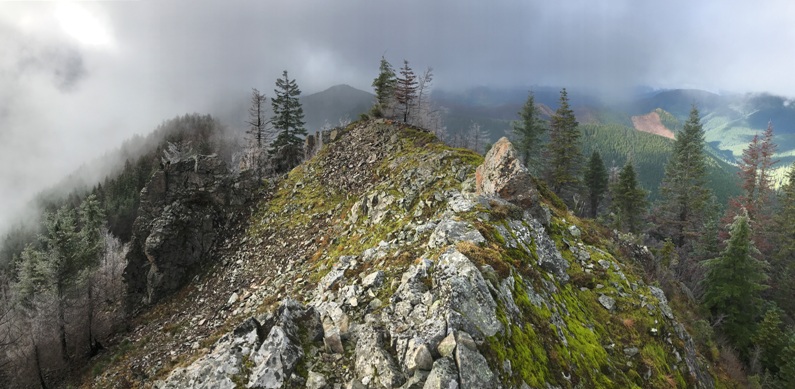
Last few feet up to the lookout site
Hiking through the burn area one year after the burn
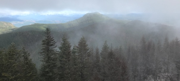
Looking over to Siouxon Peak
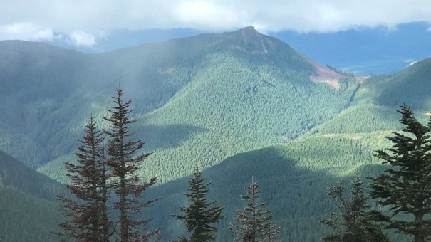
Mount Mitchell, another former lookout site.
Still lots of nuts, screws, bolts and glass at the top
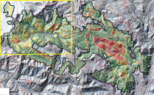
The Big Hollow Fire of 2020 burned Huffman Peak. Yellow shows route I took from trailhead.
This map shows the full fire area. The yellow box is the area on the map to the left.


