
Huckleberry Ridge Lookout Site
WillhiteWeb.com
As Harvey Manning said about this trail, most lookout trails in the Cascades have long since had their bottoms amputated by logging roads but this trail has survived intact all the way from the valley to the sky. The lower section is a virgin forest of tall, old Douglas fir and western hemlock, the middle has zones of virgin silver fir and mountain hemlock, while the top are pristine parklands and subalpine meadows.
Lookout Elevation: 5,856 feet
Hiking Distance: 7 miles
Elevation gain: 5,600 feet
County: Skagit
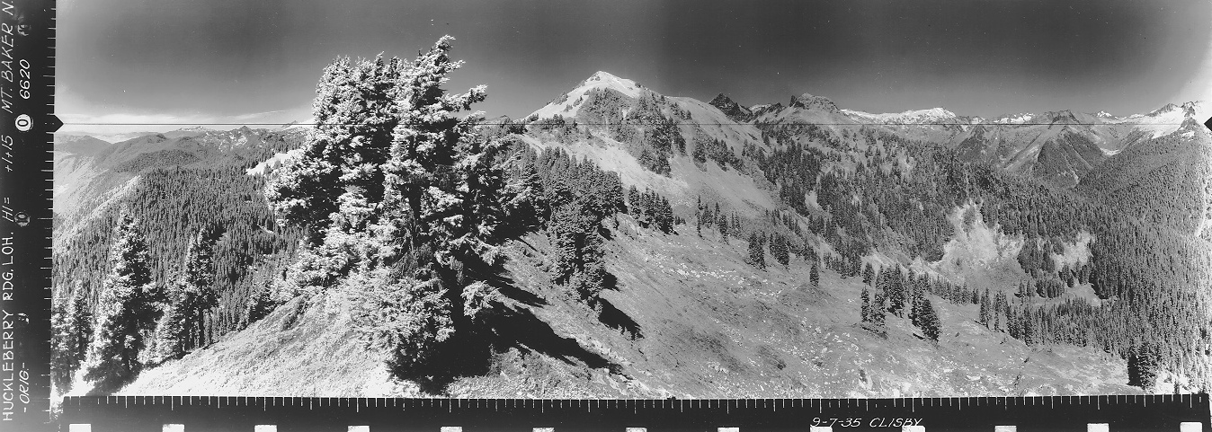
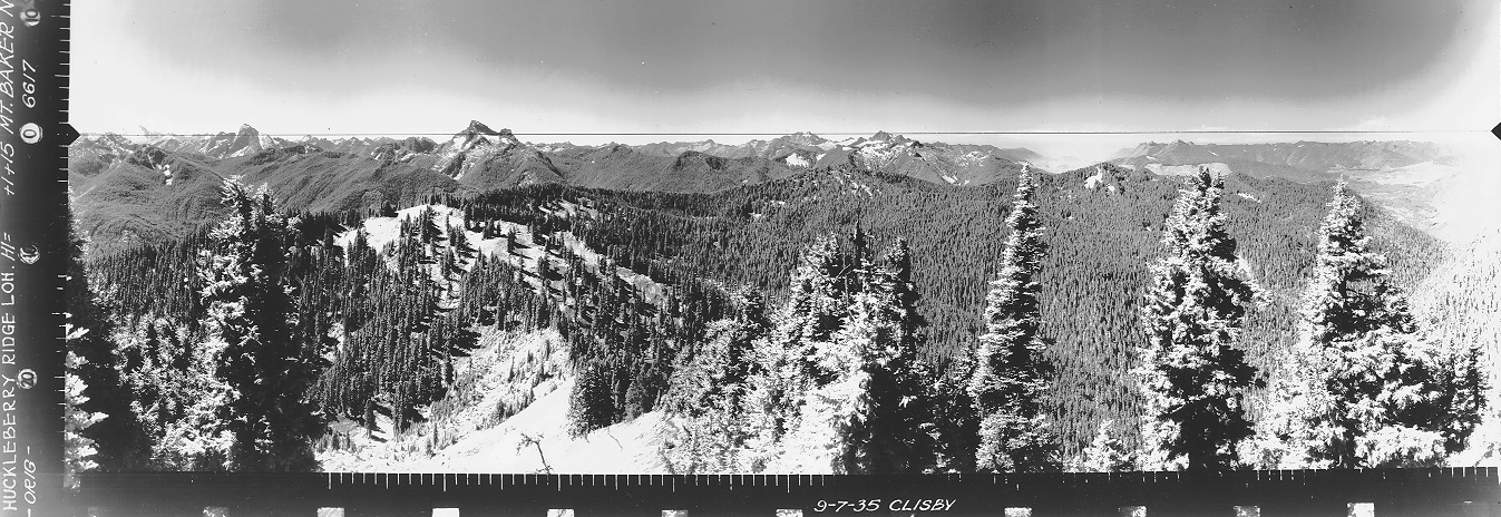
Looking North, September 7, 1935
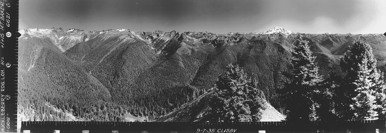
Looking Southwest, September 7, 1935
Looking Southeast, September 7, 1935
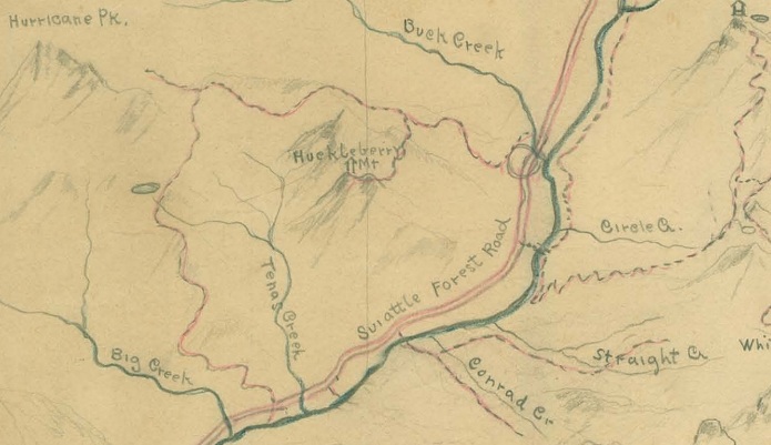
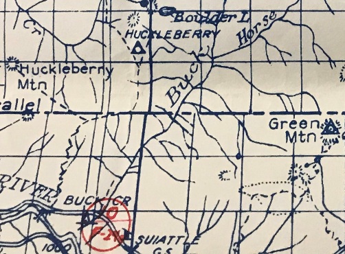
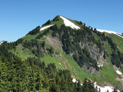
This early drawing places the lookout on Huckleberry Mountain and not the ridge in route to Hurricane Peak.
It did make me wonder if something was ever on Huckleberry Mountain, especially since an old trail goes over there. In the end, it was probably just a mistake by the map maker.
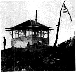
In 1935 a 10 x 10 foot L-5 cab was built. On September 7, 1935, panorama photos taken from the roof of the new cab. The lookout was burned by vandals in 1962.
Lookout History
Drive around 15 miles up the Suiattle River Road, several miles after the pavement ends. The trailhead is difficult to see on the left side of the road. Parking is on the right. If you reach the Buck Creek Campground you have gone too far.
Access
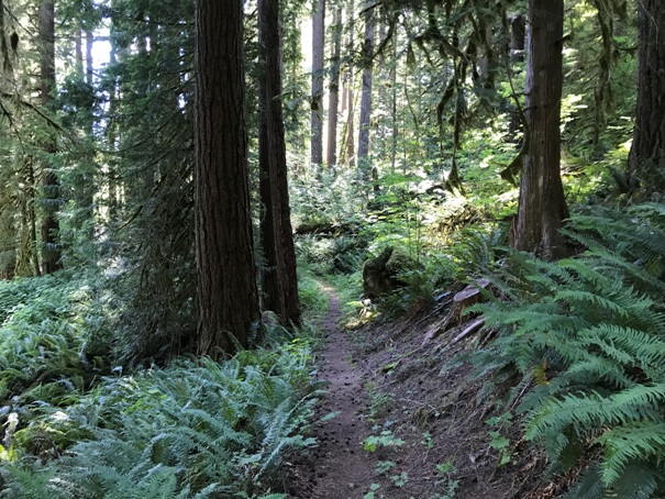
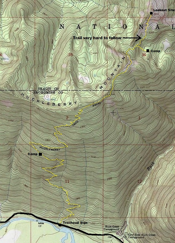
The trail is often overgrown in the first two miles, usually with stinging nettles. Volunteers clear it every 5 years or so. Overall, the trail was in great condition with just a few small washout spots. The trail was made for horses so the many switchbacks make the elevation gain fairly easy. At about 3.75 miles is Fred Bugner Camp where there is a tent spot and firepit area. At about 6.5 miles you reach a knoll at 5,483 feet with great views. From the knoll, there is a 400 foot drop followed by an 800 foot gain to the old lookout site. The trail is extremely faint and everyone loses the trail through this section. The most defined trail drops down to a lower meadow and a campsite. This last mile of trail is definitely abandoned and easier to walk off trail than on trail.
Route
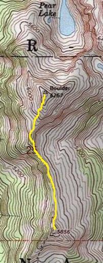
From the lookout site, the ridge continues further to the Boulder Benchmark. Boulder is extremely enticing from the lookout site, being higher and treeless. There is a social trail that scrambles the ridge to the Boulder Benchmark but it takes a bit of navigation skills to be enjoyable.
Bonus

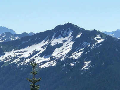

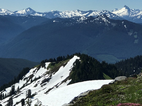
Huckleberry Ridge from Green Mountain Lookout
Huckleberry Mountain Lookout
Fred Bugner Campsite
Dropping down from the knoll at 5,483 gives a good view of objectives
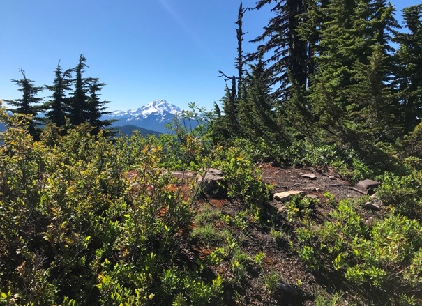
Lookout site and Glacier Peak
I look down the hillside and we were walking in unison
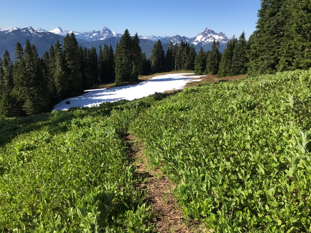
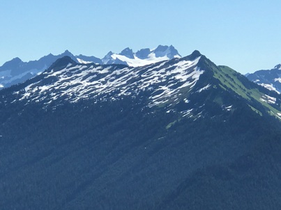
First meadow with Sloan, Pugh and White Chuck Mountain
View of Glacier Peak from the lookout site
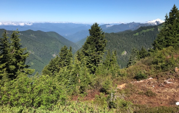
View NW with Mount Baker from the lookout site
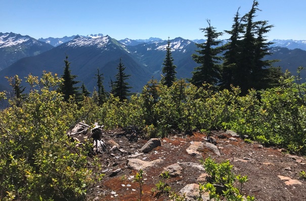
Looking east and the bare area where the lookout building stood
Route is approximate
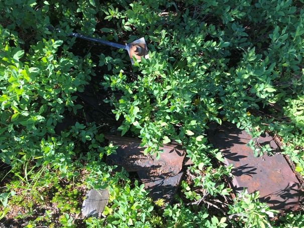
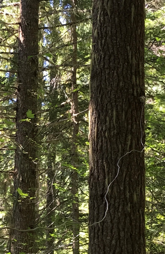
Phone line and insulator (saw 15 or so insulators along the trail)
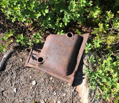
Stove parts
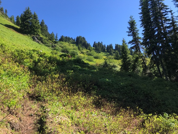
Final climb and some tread from the old trail
Trail near the start
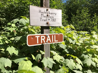
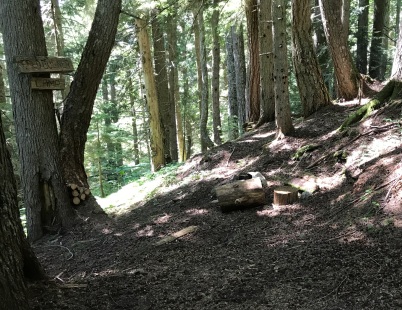
Trailhead sign
Looking north from the lookout site with Boulder Benchmark on the left
Down there is the lookout site from Boulder Benchmark
Green Mountain Lookout
Dome in the distance
Boulder Benchmark
Unknown item on summit


