Patrol Point Elevation: 3440+ feet
Hiking Distance: Just over a mile each way
Elevation Gain: 300 or so
Access: Fair gravel roads
Horseshoe Ridge Patrol Point
WillhiteWeb.com
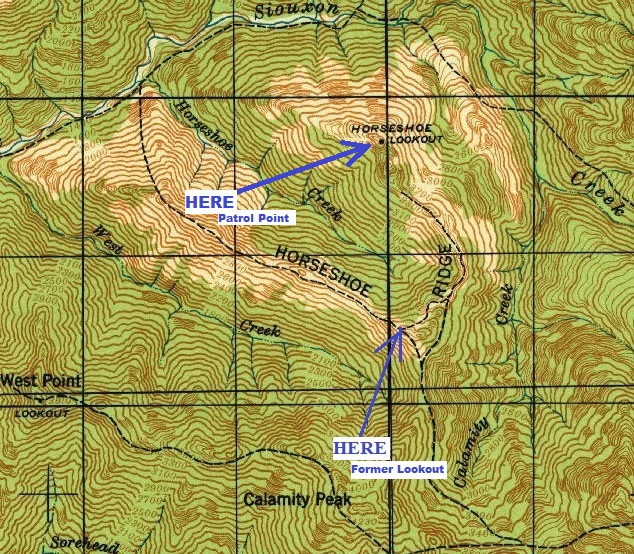
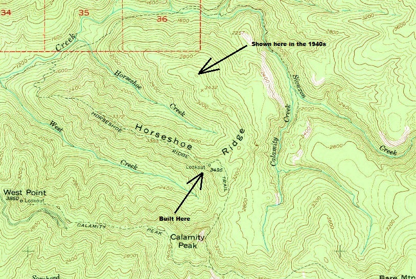
After visiting and confirming the location of the Horseshoe Ridge lookout site, I got home and found a 1940s map showing the lookout labeled at a different spot over a mile by air to the north, and two miles by trail. Weird, was this a mapping error? We have no record of anything at the northern spot. The next summer, I went back to Horseshoe Ridge to investigate, in 2020. I was mostly expecting to find absolutely nothing, but some potential was there to find a whole new site we knew nothing about. The hike was the most bizarre and exciting walk Iíve done in a long time. As I am trekking the ridge (all prepared to bushwhack carrying my year old), there is a wide pathway through the forest. The tread was faint, but the pathway was super clear, straight, and wide, likely designed for horses. With no stumps or trees, it seemed this trail was well designed long ago. While hiking the route, the entire length had sections of phone line and phone insulators. I followed this old corridor to the exact lookout spot marked on the 1940s map.
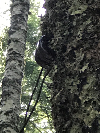
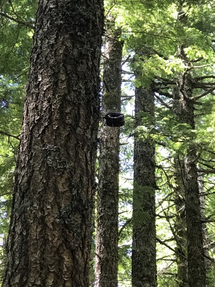
Even more odd was that the phone insulators on the trees along the route looked to be on trees of the same age of trees as those trees at the summit. Panoramic photos in the 1930s from 3 surrounding lookout sites show the ridge had been significantly burned by a fire, and the summit was clear of trees. I believe the trail/corridor had been placed prior to the new forest getting a foot hold and growing. Some trees on the ridge had survived and I am guessing the phone line would have been attached to these surviving trees. But it does seem odd that the phone insulators I did find were attached to trees that looked no different than the new forest that had grown since the 1930s. One insulator had a tree trunk grown halfway into the insulator, so I guess that is a clue that the tree was indeed old, even if the diameter did not seem that large. A visit with an increment borer might reveal a timeline.
Route:
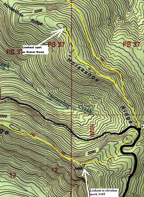
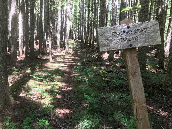
From the Horseshoe Ridge trailhead (see map), follow the official trail a short distance until the trail begins descending the ridge. Stay on the ridge climbing a tiny knob (touch of brush here). Shortly after the knob, youíll be on the ridge and easily notice the old trail/route. Follow this pathway over the top of the next knob, then skirting the side of the following knob. The route disappears in a wide area on the ridge but the final climb to the lookout site is clear and obvious and abruptly ends at the highpoint. Just to be sure, I trekked down the ridge beyond for 15 minutes but there is not swath or phone line. I wanted to confirm this was not an old trail or if the lookout site was lower. Back at the lookout site, I could not find one piece of evidence. At this point, I would have to say this location was just a patrol point.
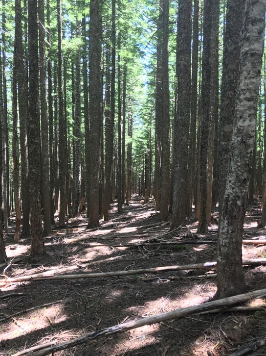
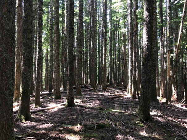
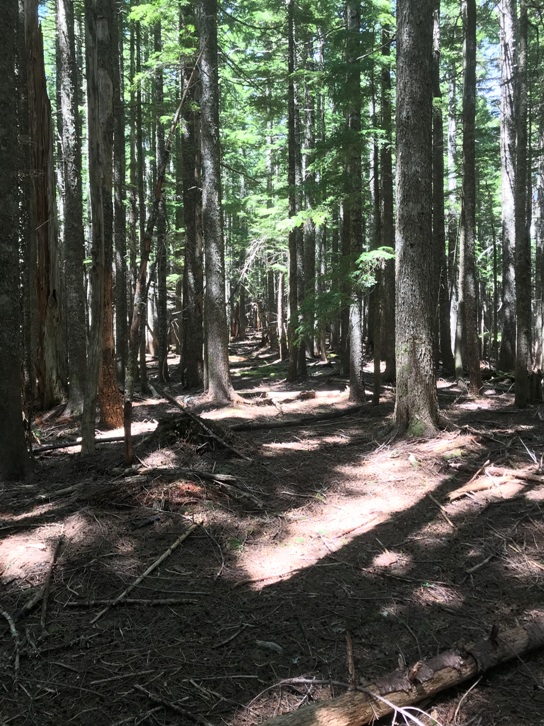
The route through the forest on the ridge
The 1940 map that shows the Horseshoe Lookout at this north location, including some of the trail. We know for sure that the southern lookout site had a structure in 1934 based on the osborne panoramics on July 11, 1934.
USGS map.
Phone insulator on a tree that has a smaller diameter
Phone insulator where the trunk has grown around it
1953 USGS - note the main phone line would come from one of the trails to the west or south
At the Horseshoe Ridge Trailhead
The summit area is now forested
Another section through the forest on the ridge
Left: I traced in yellow the Horseshoe Ridge Trail and drew in the patrol point trail. Patrol point trail is only on the 1940 map.


