

Horseshoe Ridge Lookout Site

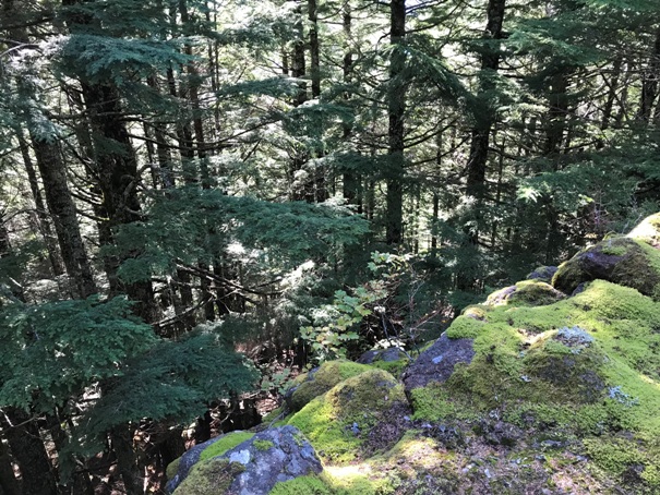
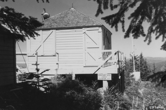
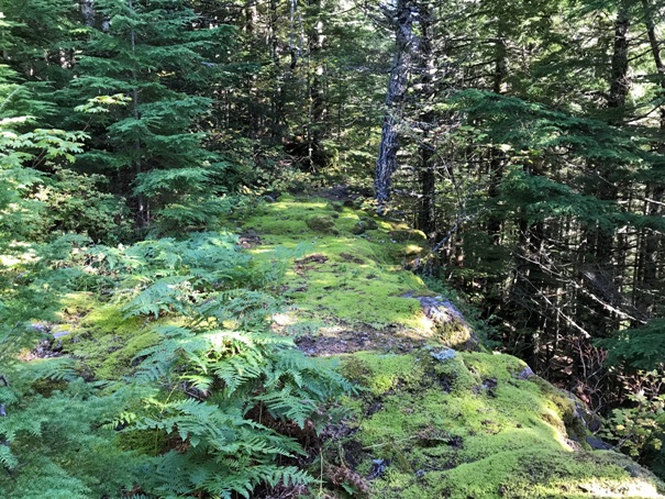
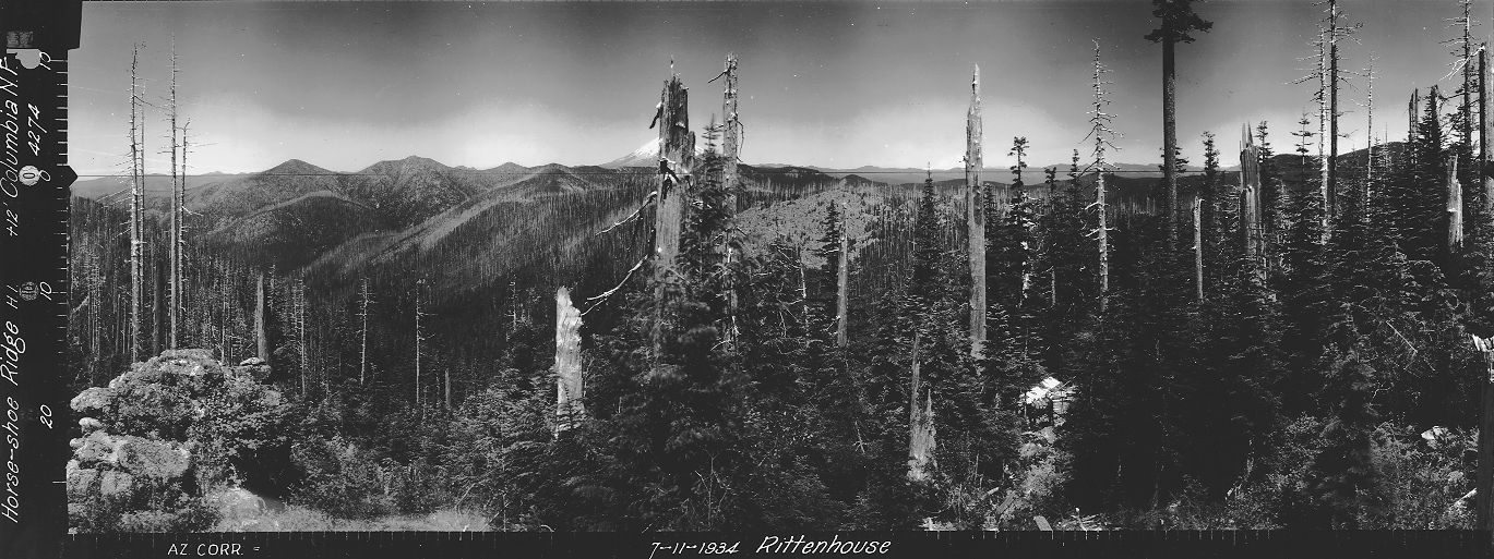
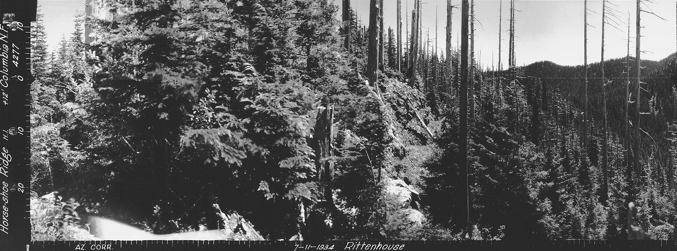
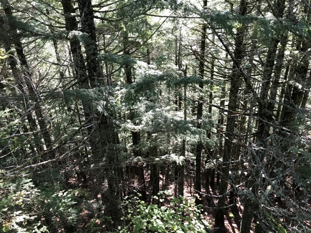
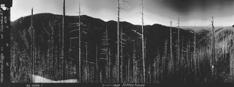
If you stumbled across this lookout site today, you would never think there was once buildings there. The location isn�t on the highpoint and the terrain nearby up the ridge seems so much more hospitable. Located where the cab was, the ridge is so narrow that the center of the lookout rested on the flat rock while the sides and catwalk overhung on both sides. One side has a 30 foot vertical cliff that isn�t apparent in the photographs. With the current forest completely blocking the surrounding area, you�re left scratching your head why here. A stroll up to the Horseshoe Ridge highpoint (about 5 minutes walk) reveals the true summit would have required a lot of timber to be dropped to obtain any views. The Horseshoe Ridge lookout was reported to have been built in 1934. On July 11, 1934 panoramic images were taken from 12 feet on the roof. It�s unclear when it was abandoned and burned but we have a USFS image saying 1964, with the lookout in great condition.
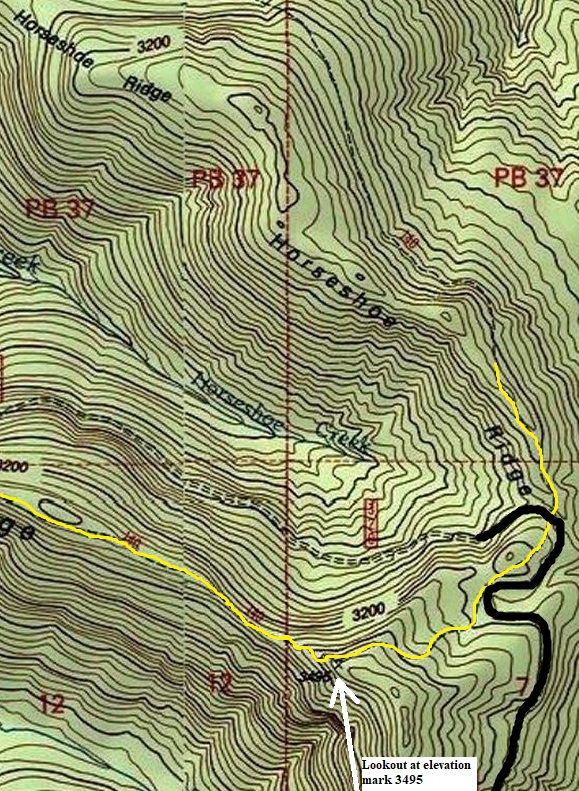
Lookout Elevation: 3,495 feet
Hiking Distance: 0.5 miles
Elevation Gain: 250 feet
Access: Good Gravel Roads
Access
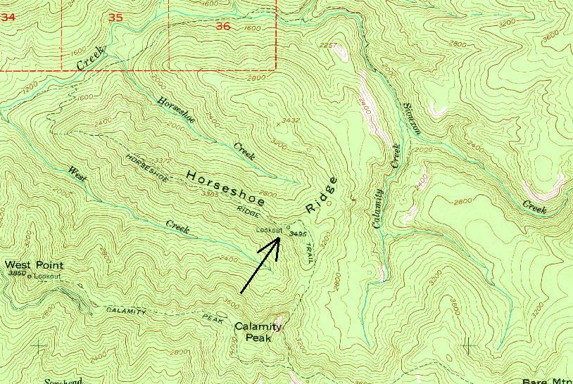
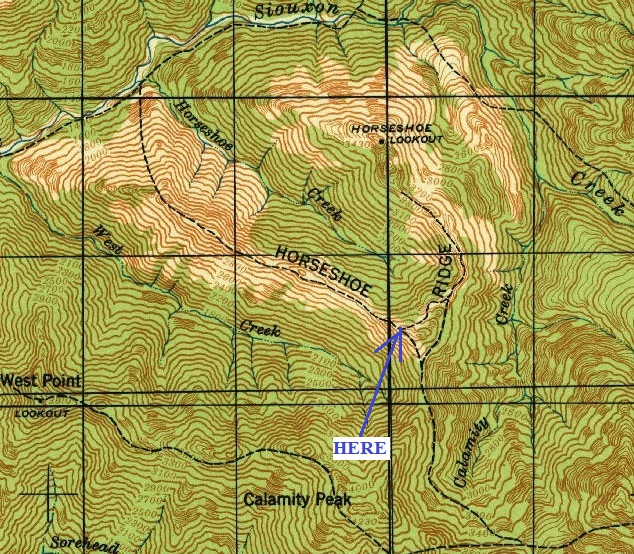
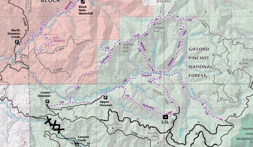
Good gravel roads will get you to within a mile of the site. There is also a long and strenuous hiking loop (Horseshoe Ridge Loop) that could be done that has other access points. The trailhead I show on the map is not signed and looks like a campsite. A trail leaves the camp in both directions, go left.
Route
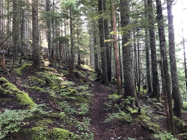
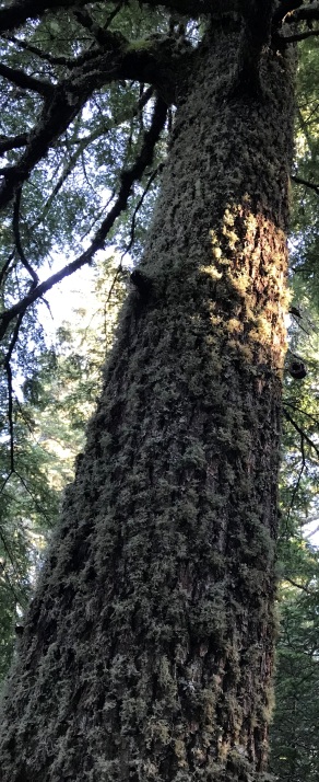
The Horseshoe Ridge Trail passes right by the site. The trail starts in a forest with some really large trees. Several old phone insulators are viewable on the way up. At the point where the trail hits the highest point and starts to drop down a narrow ridge, go off the trail up the ridge and quickly find the old lookout site.
WillhiteWeb.com: Fire Lookouts
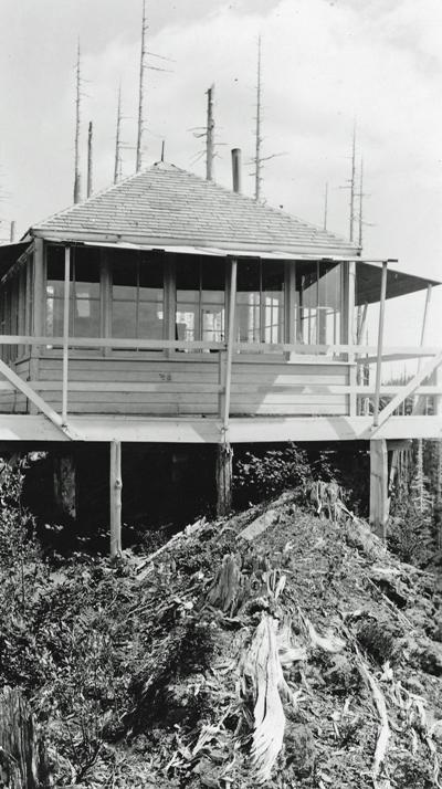
Horseshoe Ridge Lookout 1936
Phone insulator on old tree
Horseshoe Ridge Lookout labeled 1964, sign reads Horseshoe Ridge Lookout Elevation 3500
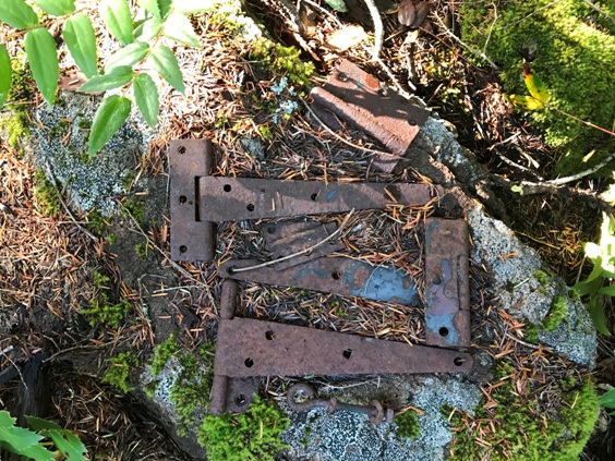
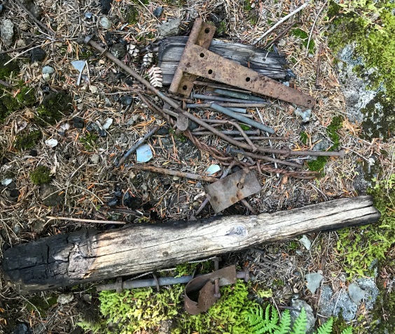
Hinges
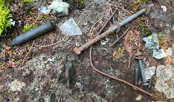
Nails, glass and battery core
Burned wood, glass, wire, nails
Even with a cliff and steep dropping slopes, the trees have blocked the view
Edge of the site and 30 foot cliff
Area of the lookout site in 2019
Horseshoe Ridge Trail
Looking North in 1934
Looking Southeast in 1934
Looking Southwest in 1934
This burned forest has been replaced
Parked at the hairpin turn closer to the lookout site
Access to Horseshoe Ridge
1953 USGS map with 1975 edit
The 1940 map that shows patrol point. See my other page.


