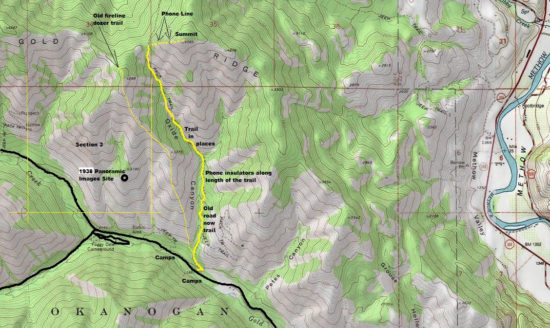
Gold Ridge Panoramic Image Site
WillhiteWeb.com
According to the Kresek Inventory, the only structure on Gold Ridge was a crows nest built in the 1930s. He wrote it was still there in the 1980s. The Kresek inventory gives the location in section 3, T31N, 21E. No elevation was given. The panoramic images were taken in section 3. But, the panoramic images were taken on November 4, 1938 from the ground, not a crows nest. The photos were taken low down on the ridge, around 3,000 feet but we now know that the phone line on Gold Ridge went to the summit at 4,585 feet. The crows nest was likely at that upper location since the tree is not in the 1938 photos. It is unclear why the panoramics were taken down low.
Elevation: 3,000 feet
Hiking Distance: 1/2 mile
Elevation Gain: 1,000 feet
County: Okanogan
Access: Paved
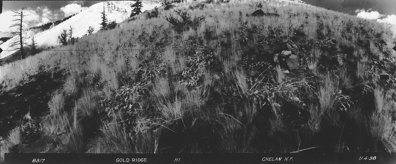
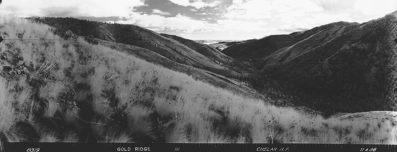
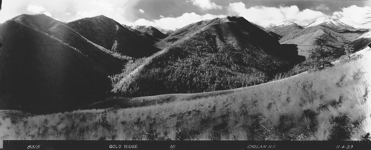
Looking North 1938
Looking Southeast 1938
Looking Southwest 1938
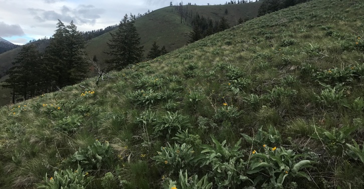
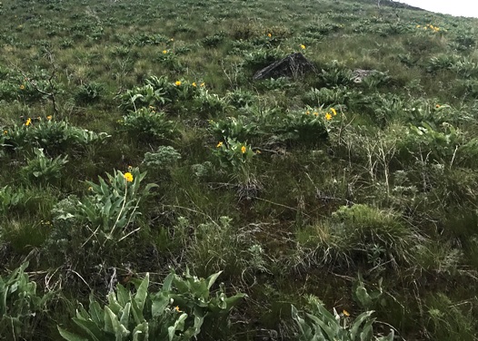
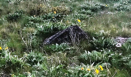
The remains of the rock cairn were still there. Note the triangle rock near top.
North 2022
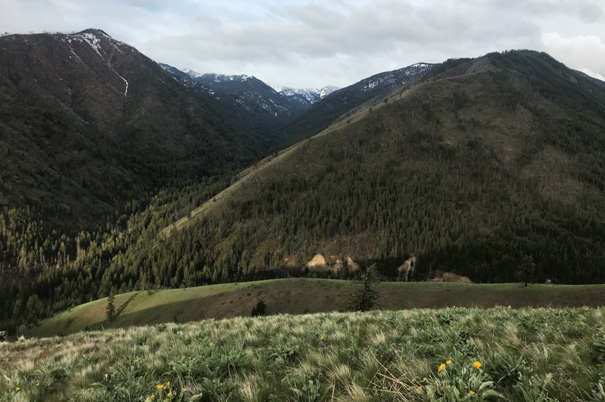
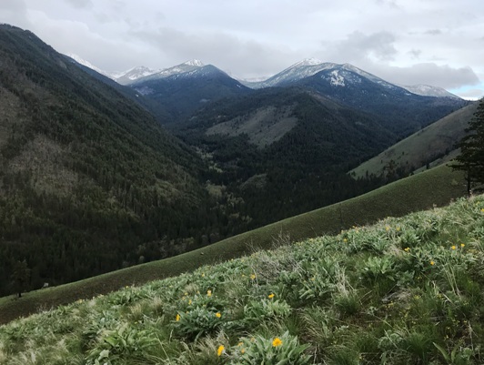
South 2022
West 2022
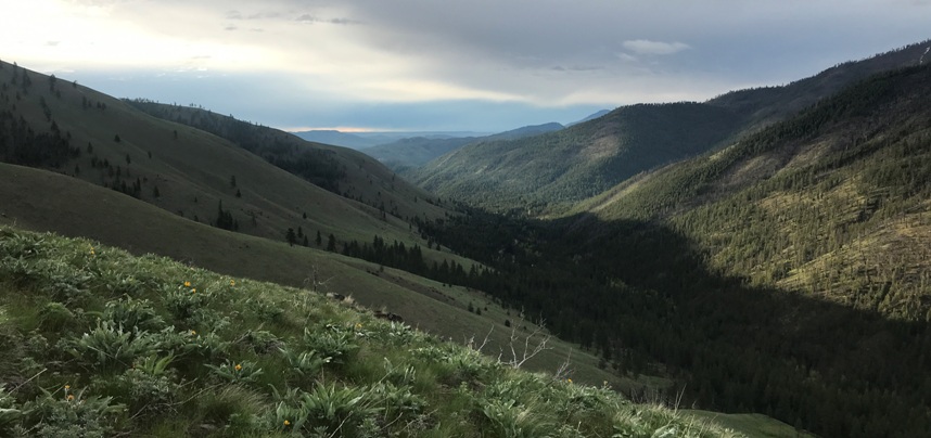
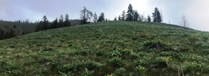
Showing everything above from photo site, the trees are at point 3,190
Zoom in on the triangle rock
